Grand Junction is a home rule municipality that is the county seat and the most populous municipality of Mesa County, Colorado, United States. The city population was 65,560 at the 2020 United States Census, making Grand Junction the 17th most populous Colorado municipality and the most populous city in western Colorado.
| Name: | Grand Junction city |
|---|---|
| LSAD Code: | 25 |
| LSAD Description: | city (suffix) |
| State: | Colorado |
| County: | Mesa County |
| Incorporated: | July 22, 1882 |
| Elevation: | 4,593 ft (1,397 m) |
| Total Area: | 40.077 sq mi (103.799 km²) |
| Land Area: | 39.634 sq mi (102.652 km²) |
| Water Area: | 0.443 sq mi (1.147 km²) |
| Total Population: | 65,560 |
| Population Density: | 1,654/sq mi (639/km²) |
| Area code: | 970 |
| FIPS code: | 0831660 |
| Website: | www.gjcity.org |
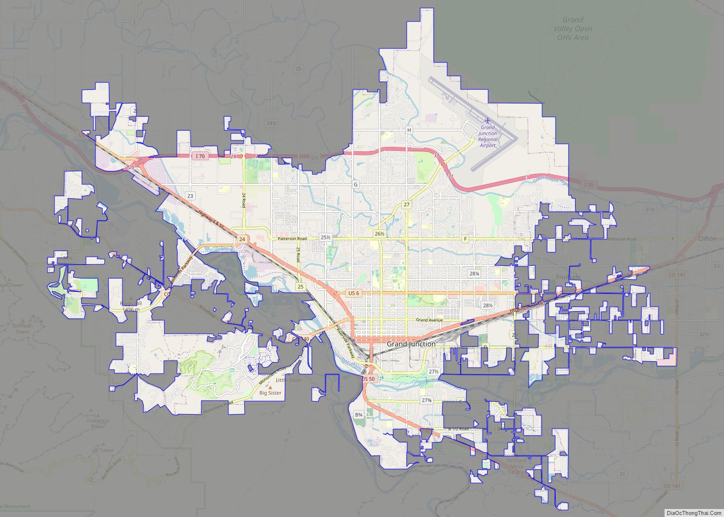
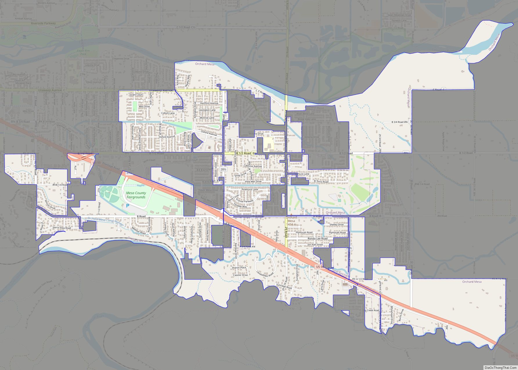
Online Interactive Map
Click on ![]() to view map in "full screen" mode.
to view map in "full screen" mode.
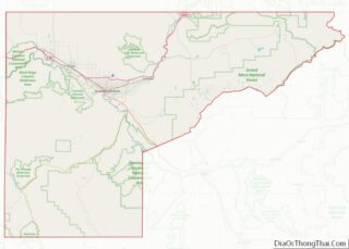
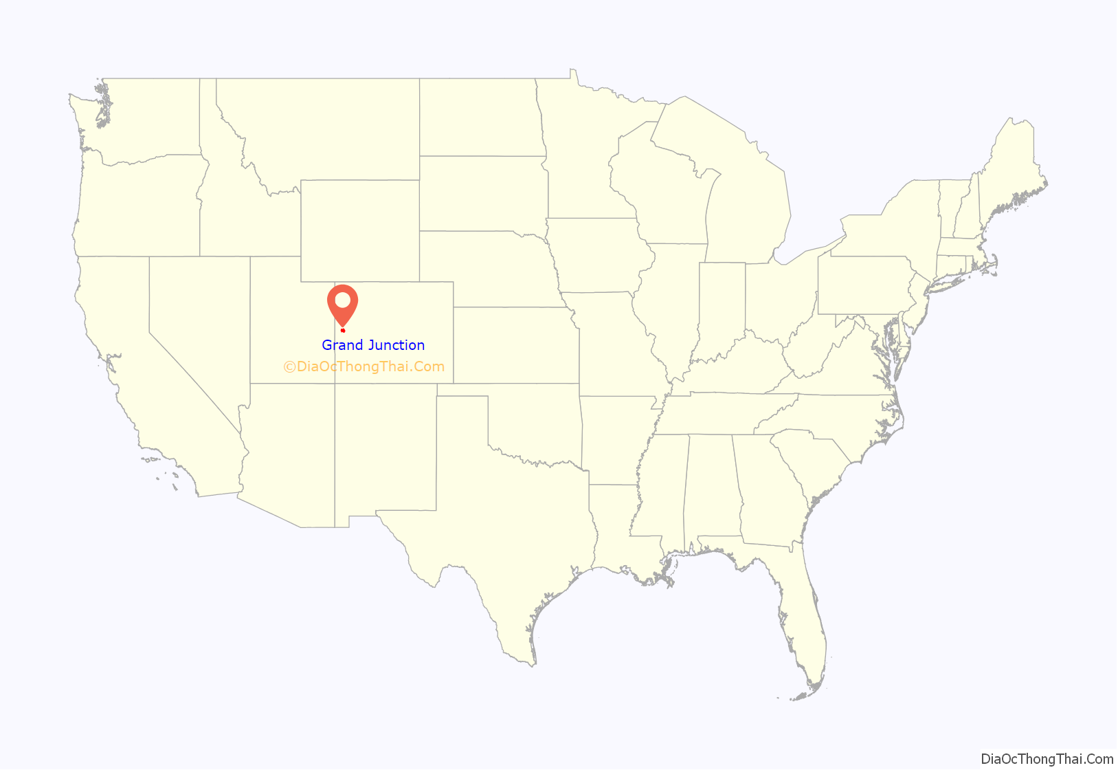
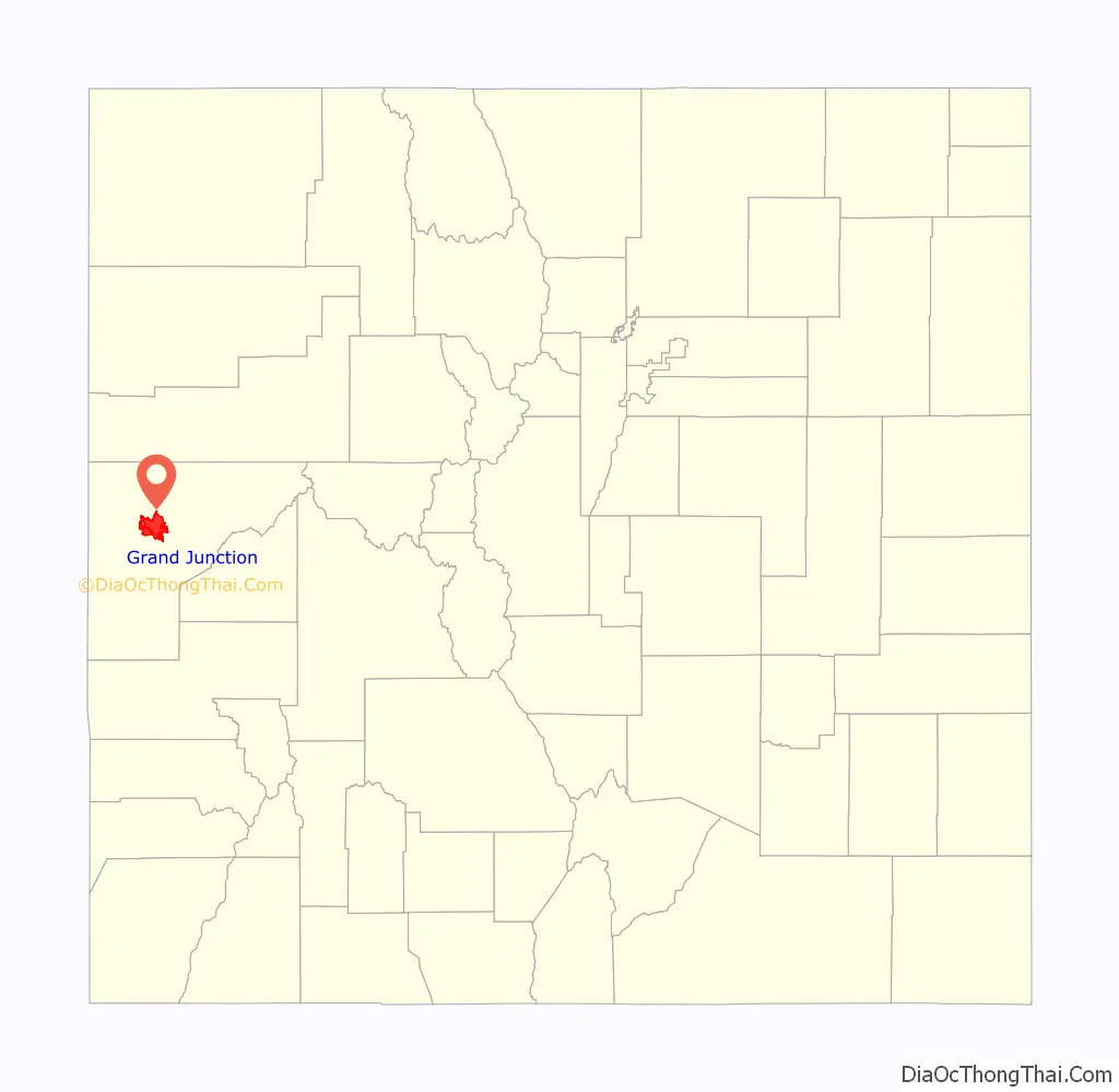
Grand Junction location map. Where is Grand Junction city?
History
In September 1881, the former Ute Indian Territory was abolished and the Utes were forced into a reservation so that the U.S. government could open the area to settlers. Clinton County, Pennsylvania-born George Addison Crawford (1827–91) soon purchased a plot of land. On July 22, 1882, he incorporated the town of Grand Junction and planted Colorado’s first vineyard near Palisade, Colorado, causing the area to become known as the Colorado Wine Country. Grand Junction also has a storied past with gunfighters, miners, and early settlers of the American Southwest.
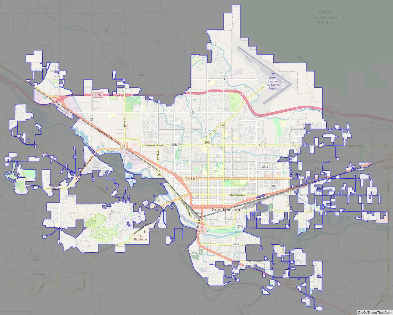
Grand Junction Road Map
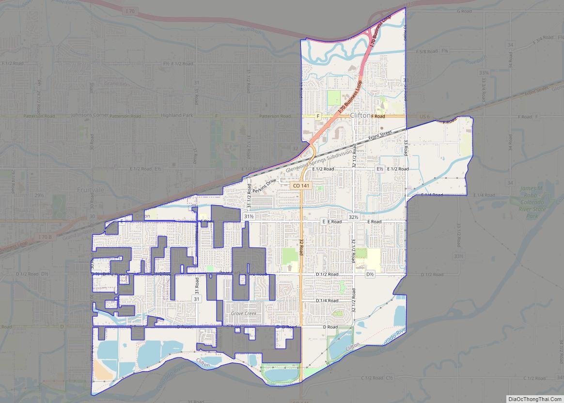
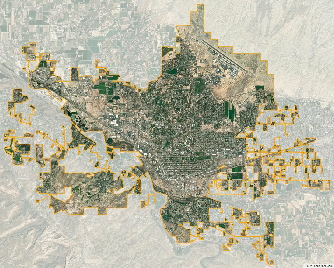
Grand Junction city Satellite Map
Geography
At the 2020 United States Census, the city had a total area of 25,649 acres (103.799 km) (40.077 sq mi) including 283 acres (1.147 km) (.443 sq mi) of water.
See also
Map of Colorado State and its subdivision:- Adams
- Alamosa
- Arapahoe
- Archuleta
- Baca
- Bent
- Boulder
- Broomfield
- Chaffee
- Cheyenne
- Clear Creek
- Conejos
- Costilla
- Crowley
- Custer
- Delta
- Denver
- Dolores
- Douglas
- Eagle
- El Paso
- Elbert
- Fremont
- Garfield
- Gilpin
- Grand
- Gunnison
- Hinsdale
- Huerfano
- Jackson
- Jefferson
- Kiowa
- Kit Carson
- La Plata
- Lake
- Larimer
- Las Animas
- Lincoln
- Logan
- Mesa
- Mineral
- Moffat
- Montezuma
- Montrose
- Morgan
- Otero
- Ouray
- Park
- Phillips
- Pitkin
- Prowers
- Pueblo
- Rio Blanco
- Rio Grande
- Routt
- Saguache
- San Juan
- San Miguel
- Sedgwick
- Summit
- Teller
- Washington
- Weld
- Yuma
- Alabama
- Alaska
- Arizona
- Arkansas
- California
- Colorado
- Connecticut
- Delaware
- District of Columbia
- Florida
- Georgia
- Hawaii
- Idaho
- Illinois
- Indiana
- Iowa
- Kansas
- Kentucky
- Louisiana
- Maine
- Maryland
- Massachusetts
- Michigan
- Minnesota
- Mississippi
- Missouri
- Montana
- Nebraska
- Nevada
- New Hampshire
- New Jersey
- New Mexico
- New York
- North Carolina
- North Dakota
- Ohio
- Oklahoma
- Oregon
- Pennsylvania
- Rhode Island
- South Carolina
- South Dakota
- Tennessee
- Texas
- Utah
- Vermont
- Virginia
- Washington
- West Virginia
- Wisconsin
- Wyoming