St. George is a city in and the county seat of Washington County, Utah, United States. Located in southwestern Utah on the Arizona border, it is the principal city of the St. George Metropolitan Statistical Area (MSA). The city lies in the northeasternmost part of the Mojave Desert, adjacent to the Pine Valley Mountains and near the convergence of three distinct geologic areas and ecoregions: the Mojave Desert, Colorado Plateau, and the Great Basin. The city is 118 miles (190 km) northeast of Las Vegas, Nevada, and 300 miles (480 km) south-southwest of Salt Lake City, Utah, on Interstate 15.
As of the 2020 U.S Census, the city had a population of 95,342, with the overall MSA having an estimated population of 180,279. St. George is the seventh-largest city in Utah and most populous city in the state outside of the Wasatch Front.
The city was settled in 1861 as a cotton mission, earning it the nickname “Dixie”. While the crop never became a successful commodity, the area steadily grew in population. Between 2000 and 2005, St. George emerged as the fastest growing metropolitan area in the United States. Today, the St. George region is well known for its year-round outdoor recreation and proximity to several state parks, Zion National Park and The Grand Canyon. Utah Tech University is located in St. George and is an NCAA Division I institution.
| Name: | St. George city |
|---|---|
| LSAD Code: | 25 |
| LSAD Description: | city (suffix) |
| State: | Utah |
| County: | Washington County |
| Incorporated: | 1862 |
| Elevation: | 2,700 ft (800 m) |
| Land Area: | 78.46 sq mi (203.22 km²) |
| Water Area: | 0.00 sq mi (0.01 km²) 0.72% |
| Population Density: | 1,215.17/sq mi (469.16/km²) |
| ZIP code: | 84770–84771, 84790–84791 |
| Area code: | 435 |
| FIPS code: | 4965330 |
| GNISfeature ID: | 1455098 |
| Website: | sgcity.org |
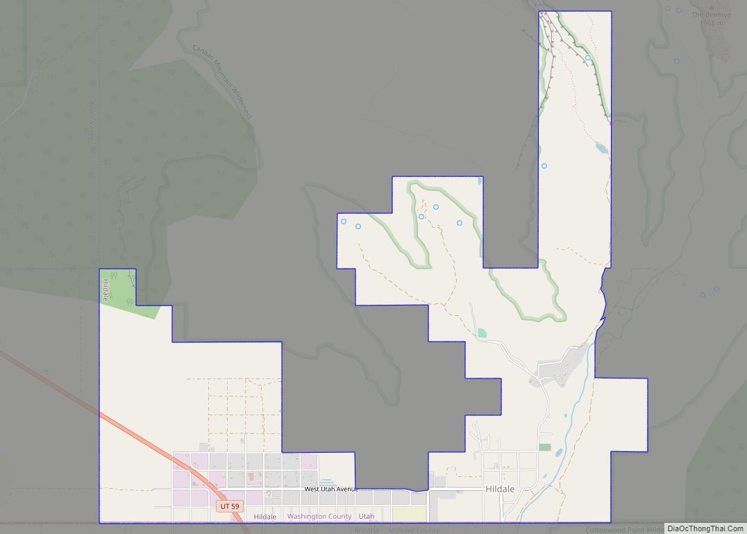
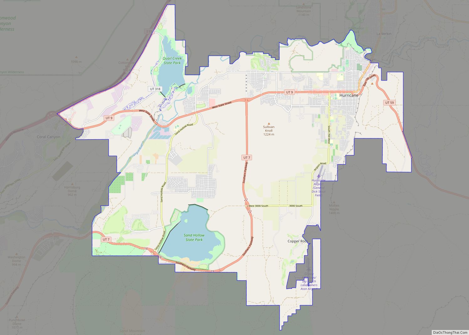
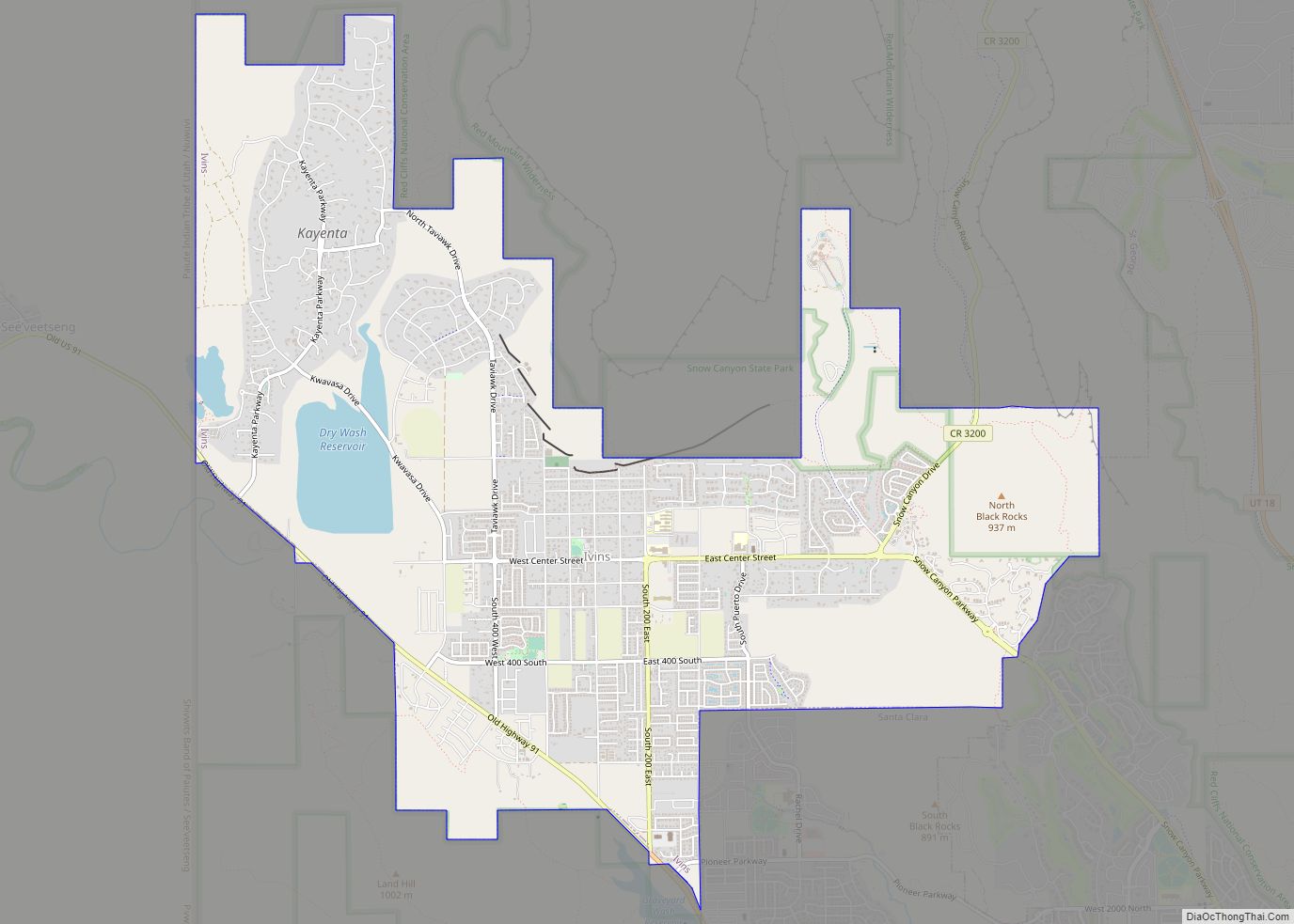
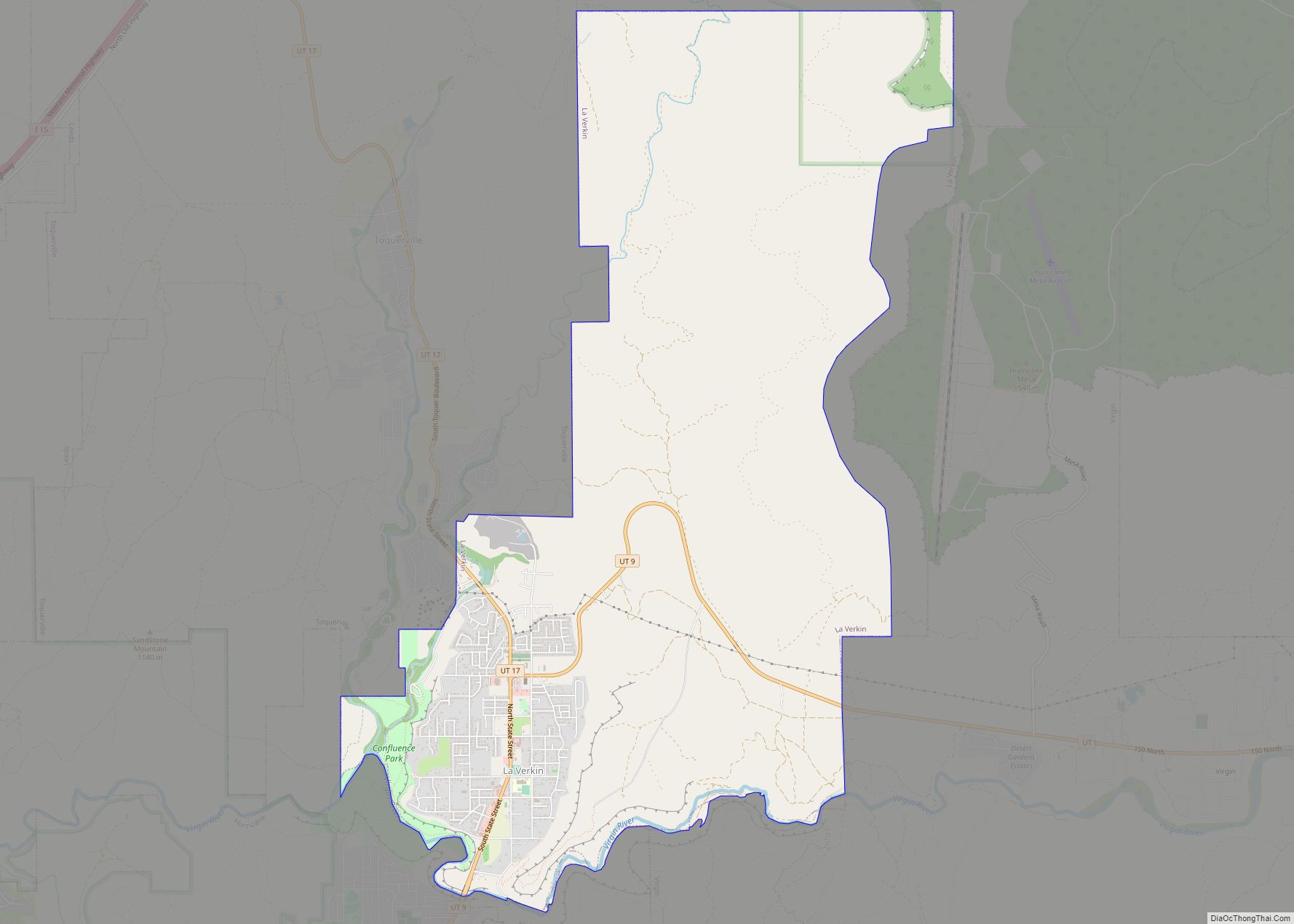
Online Interactive Map
Click on ![]() to view map in "full screen" mode.
to view map in "full screen" mode.
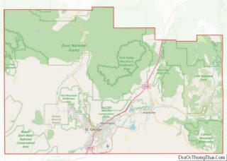
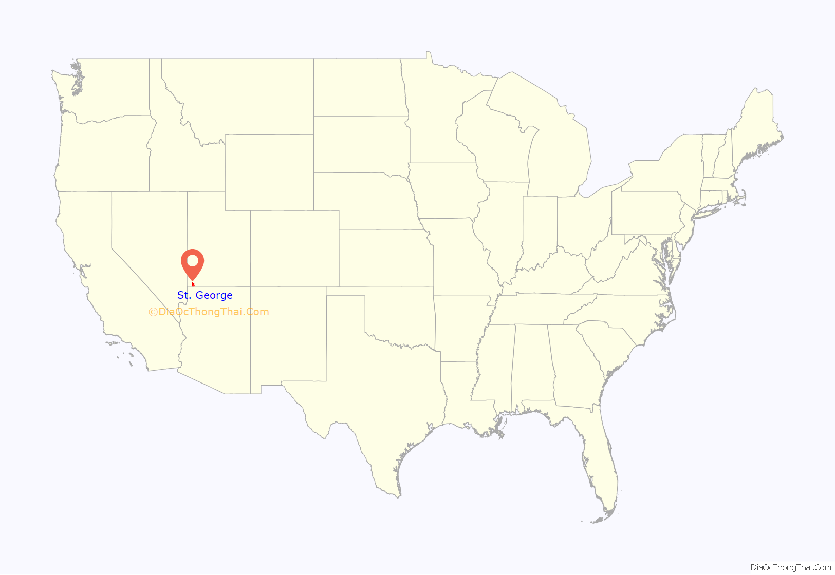
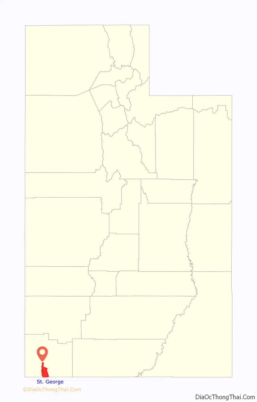
St. George location map. Where is St. George city?
History
Prior to the arrival of the first European settlers, the St. George area was inhabited by the Virgin River Ancestral Puebloans and later by the Southern Paiute tribe. The first Europeans in the area were part of the Domínguez–Escalante expedition in 1776.
St. George was founded as a cotton mission in 1861 under the direction of apostle Erastus Snow. It was called Dixie by Brigham Young, who was president of the Church of Jesus Christ of Latter-day Saints (LDS Church). While early settlers cultivated cotton as a commodity crop, they did not succeed in producing it at competitive market rates; consequently, cotton farming was eventually abandoned. More important to the economy was tourism, which developed as the railroads began to carry visitors to the nearby Zion National Park.
At the outbreak of the American Civil War in 1861, Young organized the settlement of what is now Washington County.
The settlement was named after George A. Smith, an LDS Church apostle.
In April 1877, the LDS Church completed the St. George Utah Temple. It is the church’s third and oldest continually-operating temple in the world (the temple has been closed since November 2019 for renovation).
The 1992 St. George earthquake destroyed three houses as well as above- and below-ground utilities, causing about US$1 million in damage.
St. George was the location of the 1997 United States Academic Decathlon national finals.
In January 2005, a 100-year flood occurred throughout the region, due to prolonged heavy rainfall overflowing both the Virgin and Santa Clara rivers. One person was killed and 28 homes were destroyed by the Santa Clara River.
Nuclear contamination
In the early 1950s, St. George received the brunt of the fallout of above-ground nuclear testing at the Yucca Flats/Nevada Test Site northwest of Las Vegas. Winds routinely carried the fallout of these tests directly through the St. George and southern Utah area. Marked increases in the frequency of cancer in the population, not limited to leukemia, lymphoma, thyroid cancer, breast cancer, melanoma, bone cancer, brain tumors, and gastrointestinal tract cancers, were reported from the mid-1950s until the early 1980s.
In 1980, American popular weekly magazine People reported that from about 220 cast and crew who filmed in a 1956 movie, The Conqueror, on location near St. George, ninety-one had come down with cancer, and 50 had died of cancer. Of these, forty-six had died of cancer by 1980. Among the cancer deaths were John Wayne, Pedro Armendáriz and Susan Hayward, the stars of the film. However, the lifetime odds of developing cancer for men in the U.S. population are 43 percent and the odds of dying of cancer are 23 percent (38 percent and 19 percent, respectively, for women). This places the cancer mortality rate for the 220 primary cast and crew quite near the expected average.
A 1962 United States Atomic Energy Commission report found children living in St. George, Utah, at the time of the fallout may have received doses to the thyroid of radioiodine as high as 120 to 440 rads” (1.2 to 4.4 Gy).
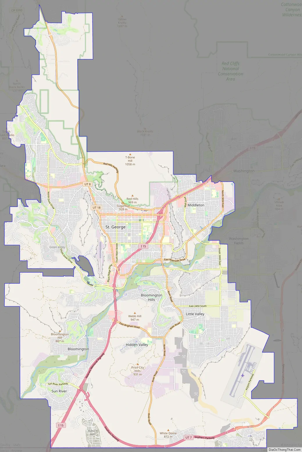
St. George Road Map
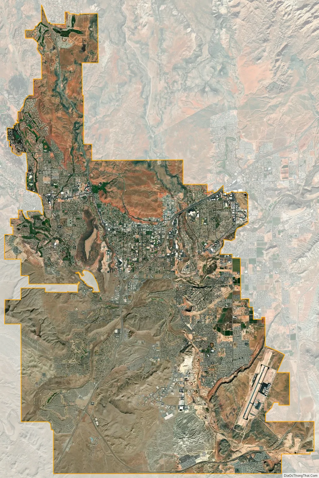
St. George city Satellite Map
Geography
According to the United States Census Bureau, the city has a total area of 64.9 square miles (168.0 km), of which 64.4 square miles (166.8 km) is land and 0.5 square mile (1.2 km) (0.72%) is water. St. George lies in a desert valley, with most of the city lying below 3,000 feet (900 m). It is situated near a geological transition zone where the Colorado Plateau and Great Basin converge. The Beaver Dam Mountains/Utah Hill lie to the west, the Red Cliffs National Conservation Area and Pine Valley Mountains to the north, the western edge of the Colorado Plateau and Zion National Park to the east, and the Arizona Strip to the south. The Virgin River and Santa Clara River flow through the St. George valley and converge near the western base of Webb Hill near the city center.
The city uses street numbers rather than names, such as “East 100 South”. Exceptions have been made for streets with curves or those not fitting into the traditional grid system. Some roads have names along with numerals, such as “400 East” which is also known as “Flood Street”.
Climate
St. George’s arid climate is significantly warmer on average than the rest of the state, and more closely resembles nearby Las Vegas. The climate is cold arid (BWk). St. George has hot summers and cool to relatively mild winters. The monthly average temperature ranges from 42.1 °F (5.6 °C) in December to 87.8 °F (31.0 °C) in July. On average, there are 60 afternoons with high temperatures over 100 °F (38 °C), with an average window of June 29 through August 13, and 122 days with high temperatures over 90 °F (32 °C) with the average window fluctuating between late April and early October. There are approximately 60 mornings where the low temperature drops to the freezing mark, with the historical average window between November 12 and March 14.
The highest temperature statewide was 118 °F (48 °C), which was recorded in south St. George, near the Arizona border on July 4, 2007, breaking the previous record-holder, at 117 °F (47 °C), also set in St. George on July 5, 1985. The record high minimum temperature is 89 °F (32 °C) set on July 15, 1970 and July 3, 2013. Nighttime freezes are common during the winter due to radiational cooling. Both the record low temperature of −11 °F (−24 °C) and record low maximum temperature of 17 °F (−8 °C) were set on January 22, 1937; the record low temperature occurred again on January 26, 1937, both during the record cold month of January 1937 across the Western United States.
The city has abundant sunshine year-round and averages about 300 sunny days per year, with an average 8.80 inches (224 mm) of precipitation annually. The wettest “rain year” has been from July 2004 to June 2005 with at least 15.66 inches (398 mm) (some days were missing) and the driest from July 1973 to June 1974 with 3.89 inches (98.8 mm). Record breaking wide spread flooding occurred during January 2005 when area creeks and rivers far exceeded their banks and washed out homes and some neighborhoods. The wettest month has been January 1993, when 4.74 inches (120 mm) fell. Precipitation is fairly evenly distributed throughout the year, except for a markedly drier period from April through June, which occurs after the Pacific storm season ends, but before the southwest monsoon begins, usually in mid-July. Precipitation mostly comes from the Pacific Ocean from late fall through early spring. The storm track usually lifts north of the city by mid-April. The monsoon brings localized and often intense thunderstorms from early July through mid-September. The greatest rainfall in 24 hours was 2.40 inches (61 mm) on August 31, 1909.
The St. George valley occasionally receives wet or slushy snowfall in the winter, but what accumulates usually melts off by the mid-to-late morning; the normal seasonal snowfall is 1.4 inches (3.6 cm). The earliest snowfall was measured on October 29, 1971, and the latest on April 11, 1927. The record single-day snowfall is 10.0 inches (25 cm) which was set on January 5, 1974. With the city having elevations ranging from 2,500 to about 3,500 feet (760 to about 1,070 m), some areas such as Diamond Valley and Winchester Hills will typically receive more snowfall and colder temperatures than the rest of the lower valley. The most recent major snow event was on December 8, 2013, when between 6.0 and 8.0 inches (15 and 20 cm) virtually shut down the city, making it the third heaviest snowfall in the city’s history. Also significant about the storm was how low temperatures dropped and remained that way for several days with daytime highs failing to reach the freezing mark, and one night time low temperature of 1 °F (−17 °C), recorded at the airport, was the coldest in the city in over 100 years. The cold spell killed or severely damaged much of the area’s non-native vegetation, such as the Mexican fan palm trees.
See also
Map of Utah State and its subdivision: Map of other states:- Alabama
- Alaska
- Arizona
- Arkansas
- California
- Colorado
- Connecticut
- Delaware
- District of Columbia
- Florida
- Georgia
- Hawaii
- Idaho
- Illinois
- Indiana
- Iowa
- Kansas
- Kentucky
- Louisiana
- Maine
- Maryland
- Massachusetts
- Michigan
- Minnesota
- Mississippi
- Missouri
- Montana
- Nebraska
- Nevada
- New Hampshire
- New Jersey
- New Mexico
- New York
- North Carolina
- North Dakota
- Ohio
- Oklahoma
- Oregon
- Pennsylvania
- Rhode Island
- South Carolina
- South Dakota
- Tennessee
- Texas
- Utah
- Vermont
- Virginia
- Washington
- West Virginia
- Wisconsin
- Wyoming