Washington is a city in south central Washington County, Utah, United States and is a part of the St. George Metropolitan Area. The area is also known as Utah’s Dixie because the Mormon pioneers who settled the St. George area came to the area to raise cotton, which was milled at the cotton mill in Washington. The population was 27,993 as of 2020. Washington is a fast-growing suburb of St. George, and is the second largest city in Washington County.
The city was named after U.S. President George Washington. The city administration has tried to encourage the use of the name “Washington City” in recent years. The U.S. Post Office lists “Washington, UT 84780.”
| Name: | Washington city |
|---|---|
| LSAD Code: | 25 |
| LSAD Description: | city (suffix) |
| State: | Utah |
| County: | Washington County |
| Elevation: | 2,792 ft (851 m) |
| Total Area: | 34.79 sq mi (90.09 km²) |
| Land Area: | 34.79 sq mi (90.09 km²) |
| Water Area: | 0.00 sq mi (0.00 km²) |
| Total Population: | 27,993 |
| Population Density: | 838.67/sq mi (323.82/km²) |
| ZIP code: | 84780 |
| Area code: | 435 |
| FIPS code: | 4981960 |
| GNISfeature ID: | 1447019 |
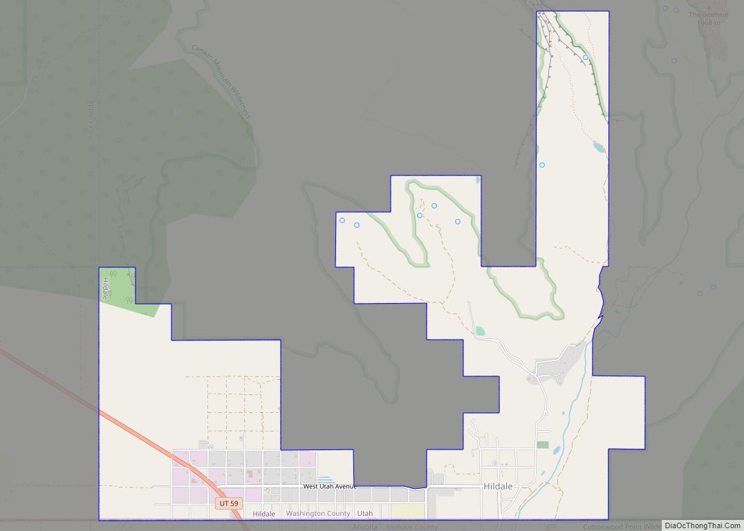
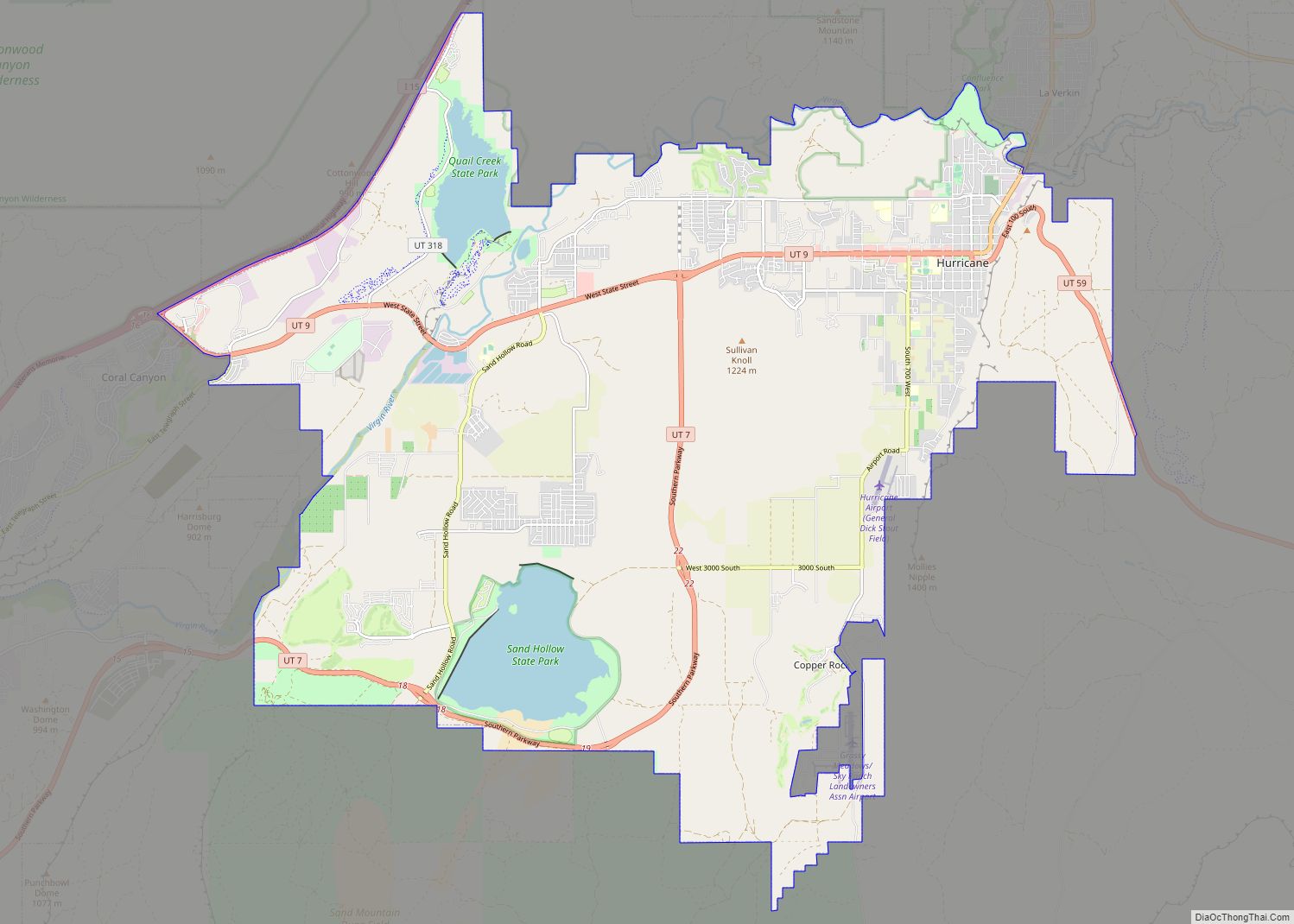
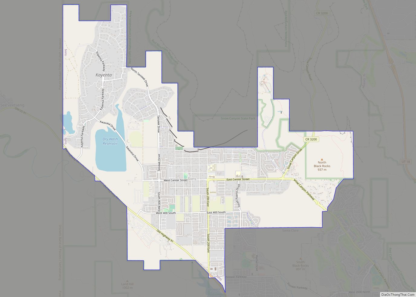
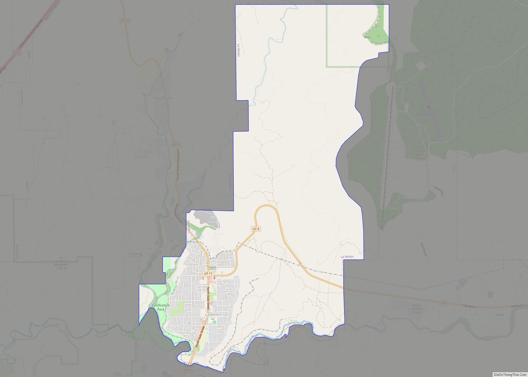
Online Interactive Map
Click on ![]() to view map in "full screen" mode.
to view map in "full screen" mode.
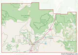
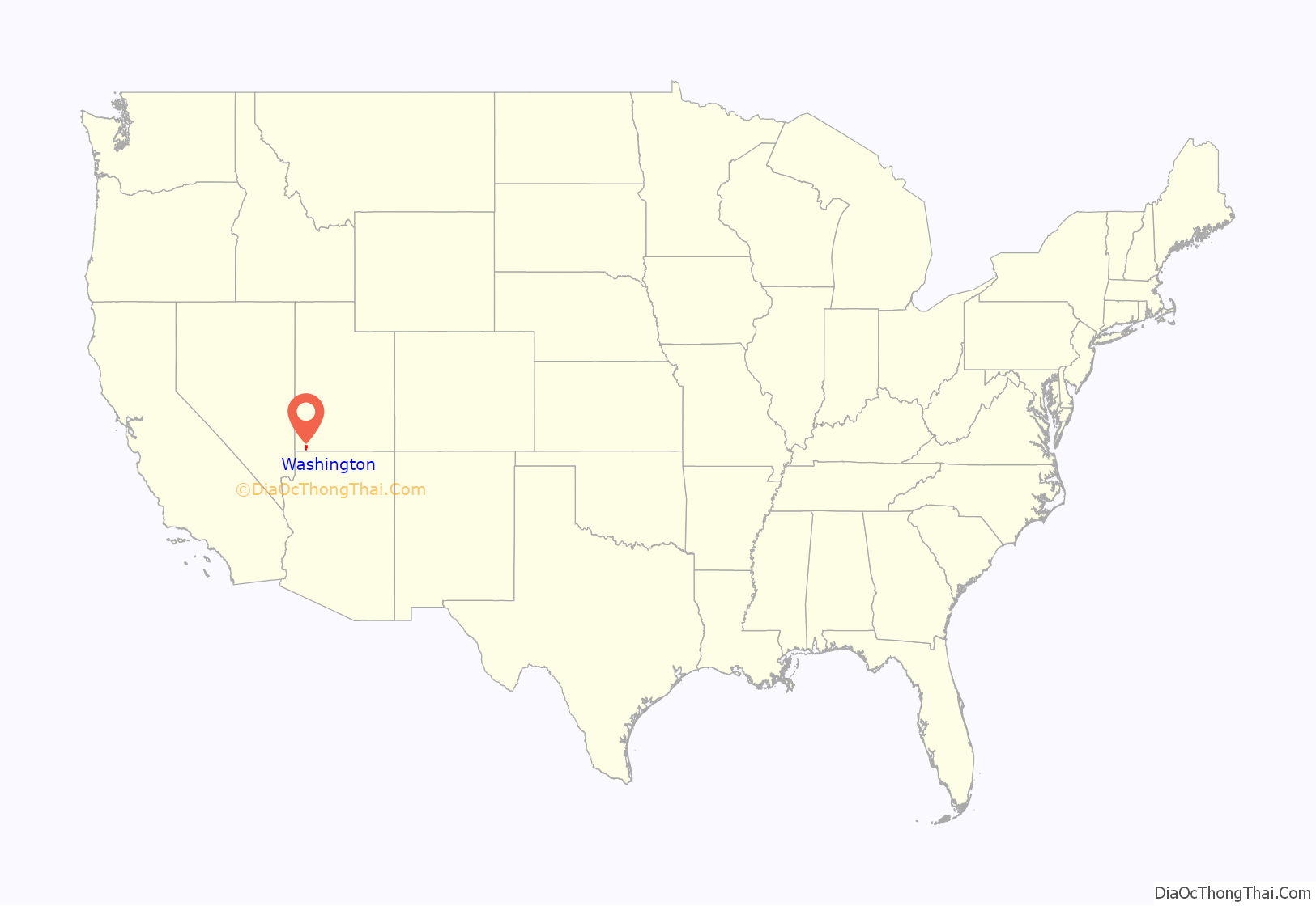
Washington location map. Where is Washington city?

Washington Road Map

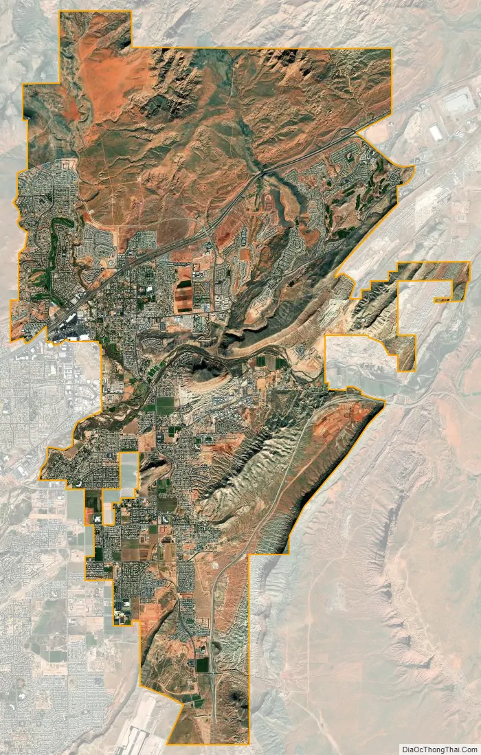
Washington city Satellite Map
Geography
According to the United States Census Bureau, the city has a total area of 32.5 square miles (85.2 km), of which 32.5 square miles (85.1 km) is land and 0.07 square mile (0.1 km) (0.10%) is water.
See also
Map of Utah State and its subdivision: Map of other states:- Alabama
- Alaska
- Arizona
- Arkansas
- California
- Colorado
- Connecticut
- Delaware
- District of Columbia
- Florida
- Georgia
- Hawaii
- Idaho
- Illinois
- Indiana
- Iowa
- Kansas
- Kentucky
- Louisiana
- Maine
- Maryland
- Massachusetts
- Michigan
- Minnesota
- Mississippi
- Missouri
- Montana
- Nebraska
- Nevada
- New Hampshire
- New Jersey
- New Mexico
- New York
- North Carolina
- North Dakota
- Ohio
- Oklahoma
- Oregon
- Pennsylvania
- Rhode Island
- South Carolina
- South Dakota
- Tennessee
- Texas
- Utah
- Vermont
- Virginia
- Washington
- West Virginia
- Wisconsin
- Wyoming