Woods Cross is a city in Davis County, Utah, United States. It is part of the Ogden–Clearfield, Utah Metropolitan Statistical Area. The population was 9,761 as of the 2010 census, with an estimated population in 2019 of 11,431.
| Name: | Woods Cross city |
|---|---|
| LSAD Code: | 25 |
| LSAD Description: | city (suffix) |
| State: | Utah |
| County: | Davis County |
| Incorporated: | 1935 |
| Elevation: | 4,374 ft (1,333 m) |
| Total Area: | 3.84 sq mi (9.94 km²) |
| Land Area: | 3.83 sq mi (9.91 km²) |
| Water Area: | 0.01 sq mi (0.02 km²) |
| Total Population: | 9,761 |
| Population Density: | 2,986.93/sq mi (1,153.18/km²) |
| ZIP code: | 84010, 84087 |
| Area code: | 385, 801 |
| FIPS code: | 4985370 |
| GNISfeature ID: | 1447521 |
| Website: | www.woodscross.com |
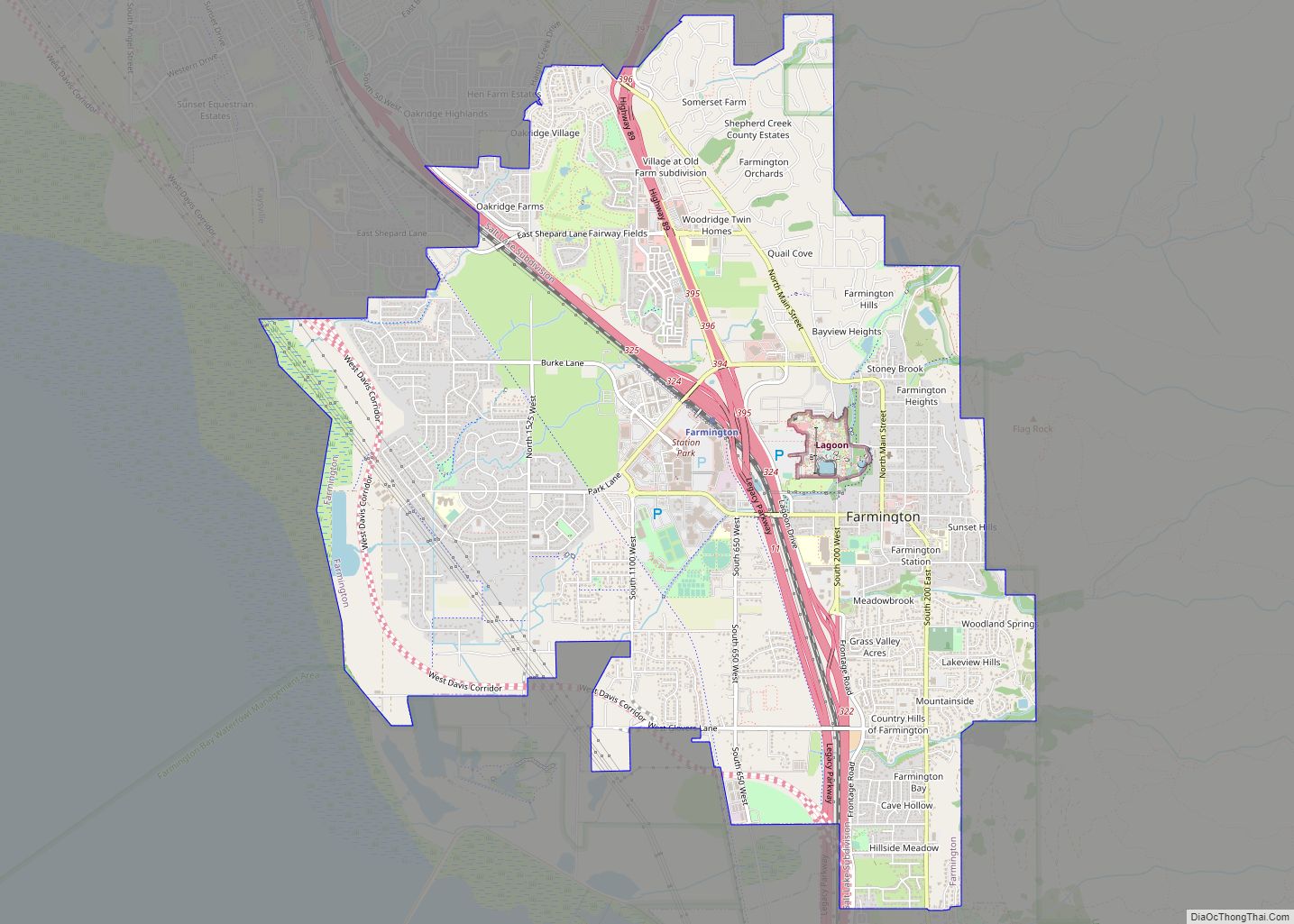
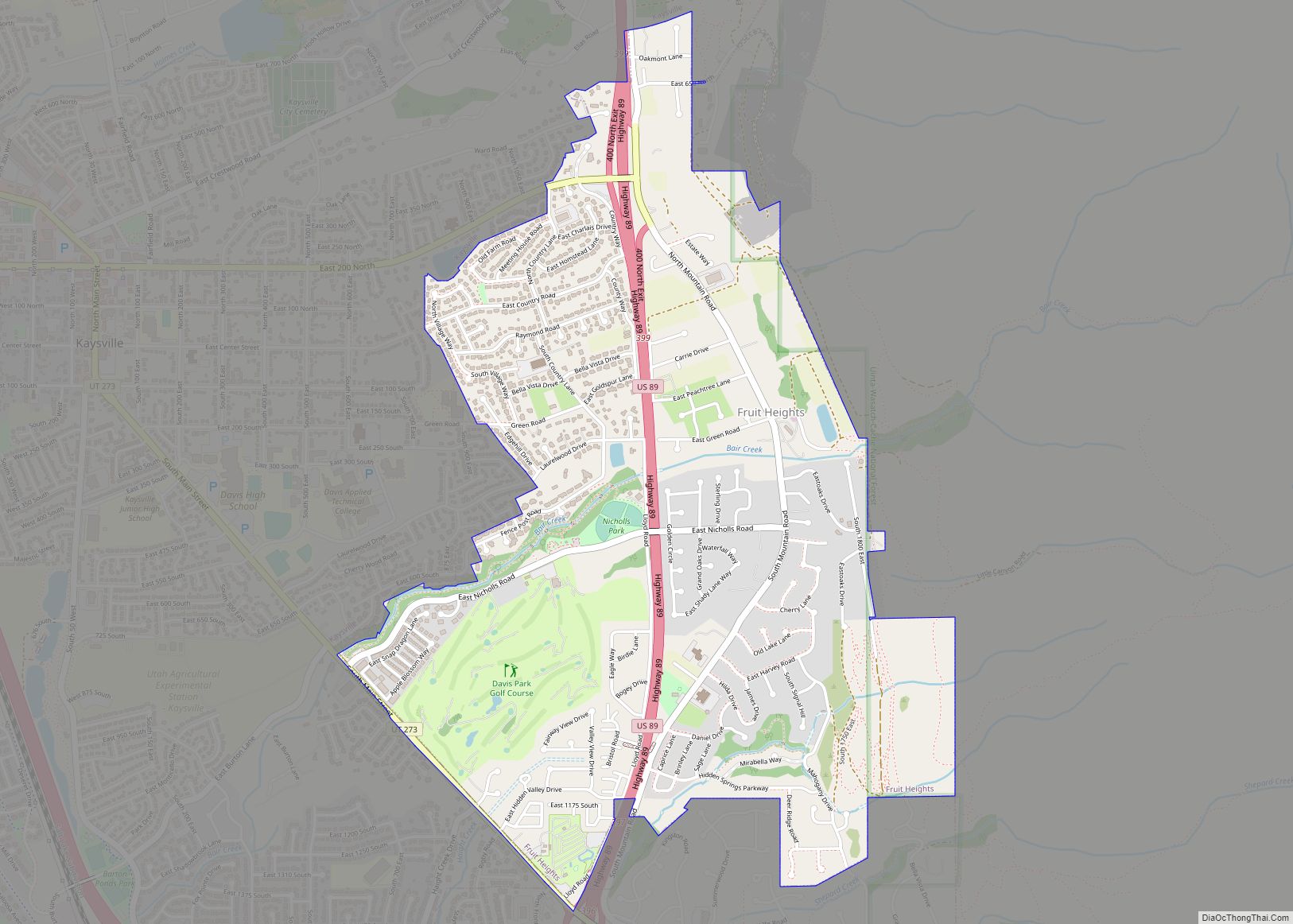
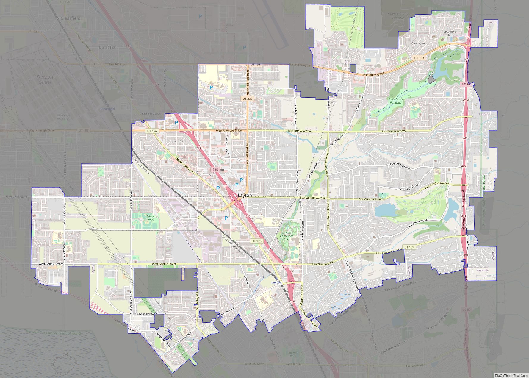
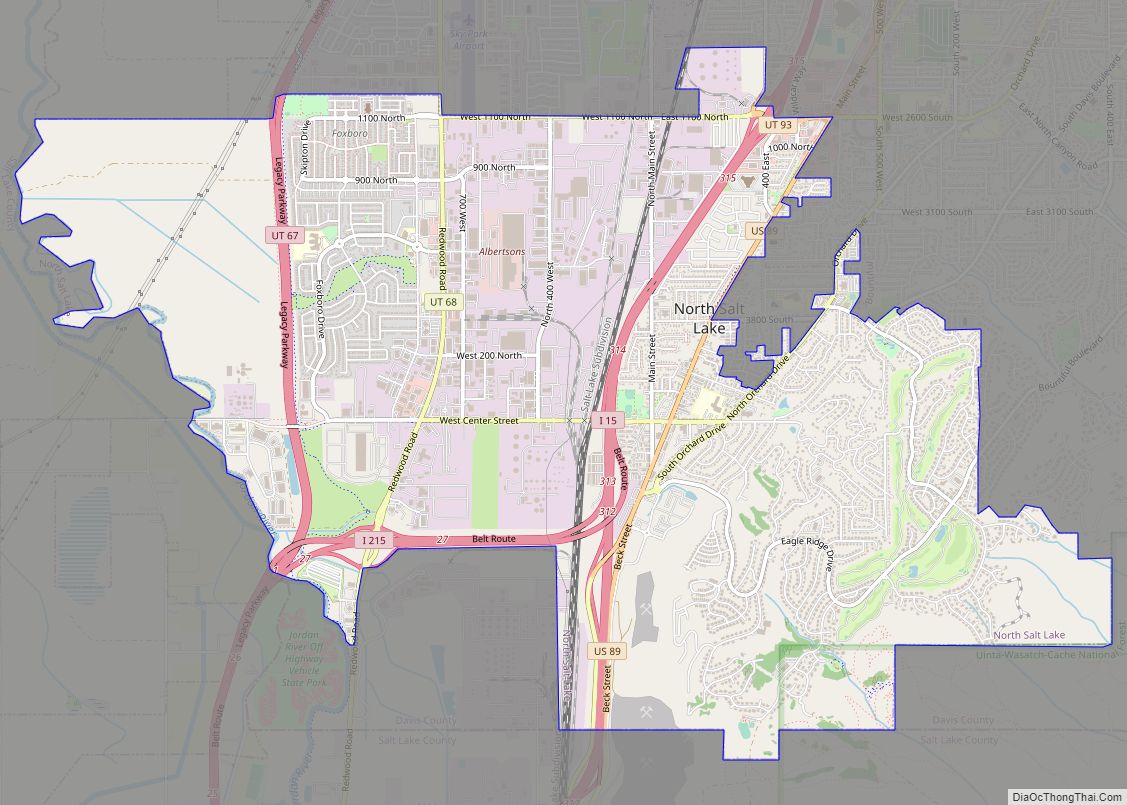
Online Interactive Map
Click on ![]() to view map in "full screen" mode.
to view map in "full screen" mode.
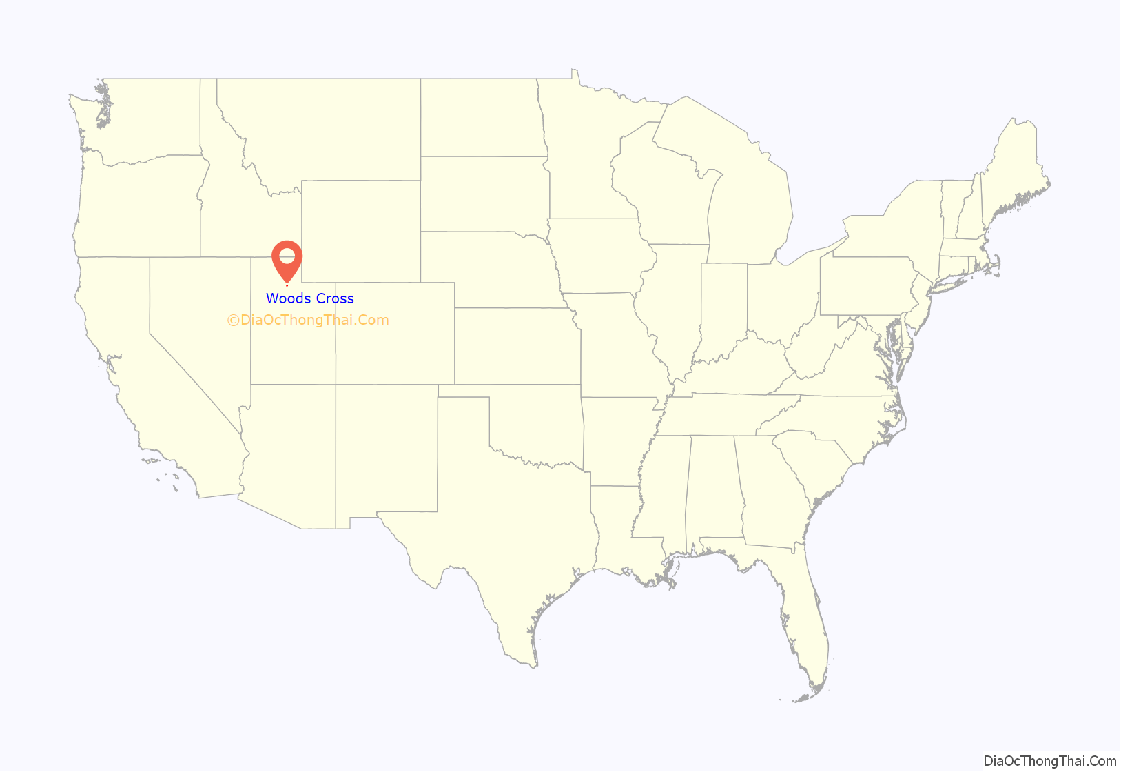
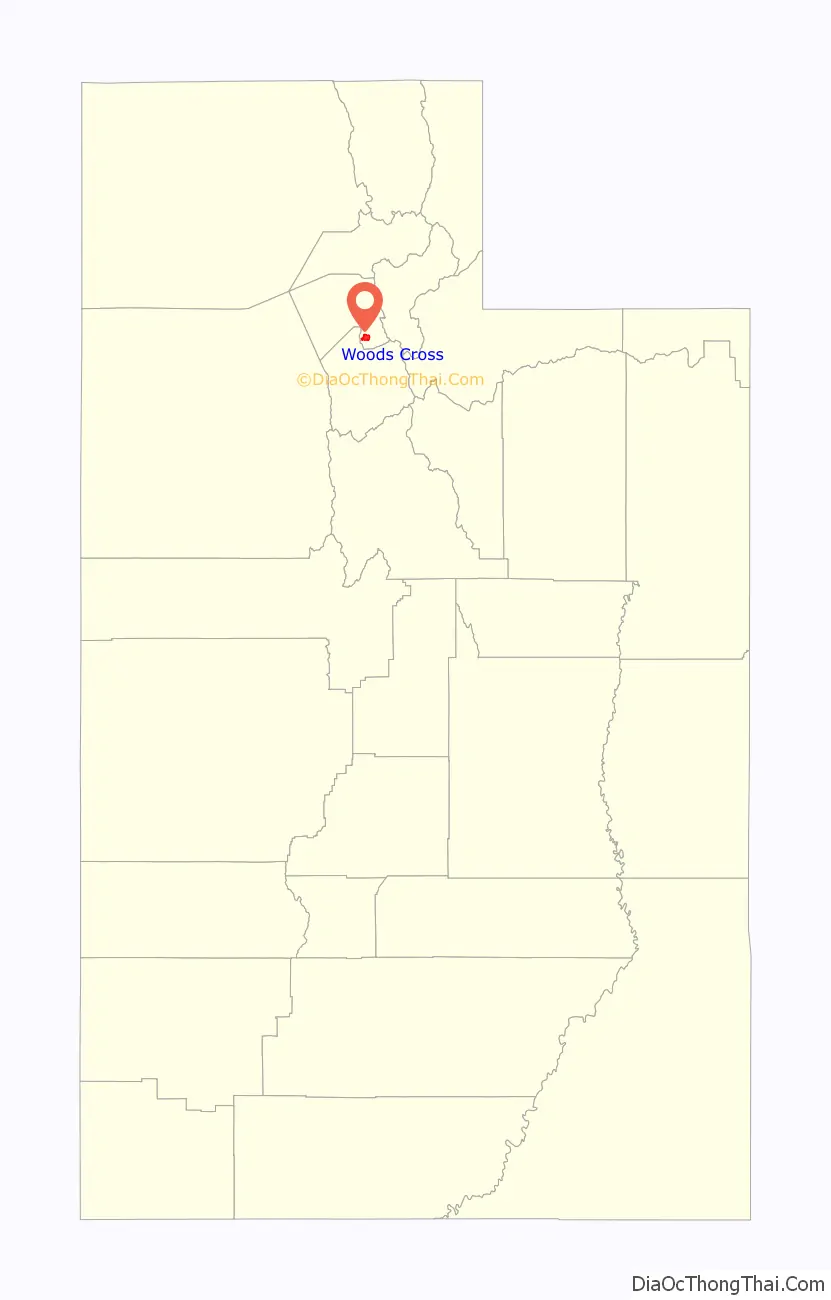
Woods Cross location map. Where is Woods Cross city?
History
Daniel Wood
Woods Cross is named after Daniel Wood, an early settler in the Utah Territory. Wood (October 16, 1800 – April 15, 1892) was a Mormon pioneer and a settler of the western United States. He was the son of Henry Wood and Elizabeth Demelt. He was born in Dutchess County, New York and died in Woods Cross.
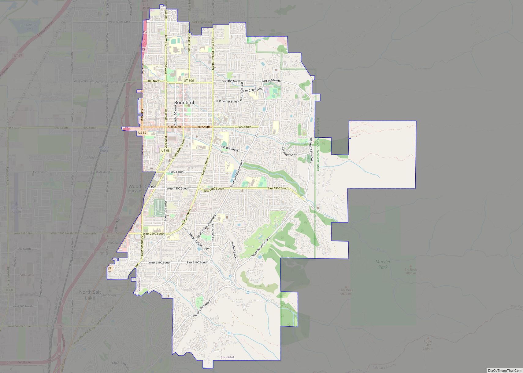
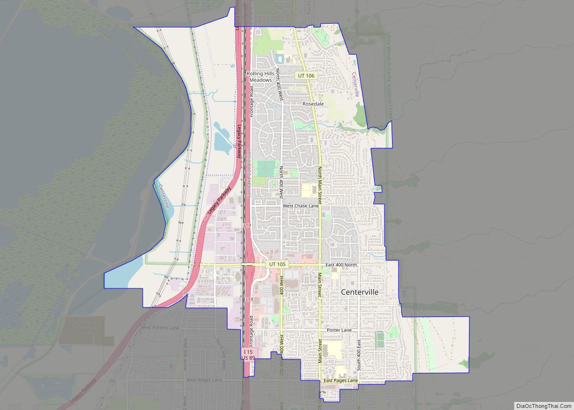
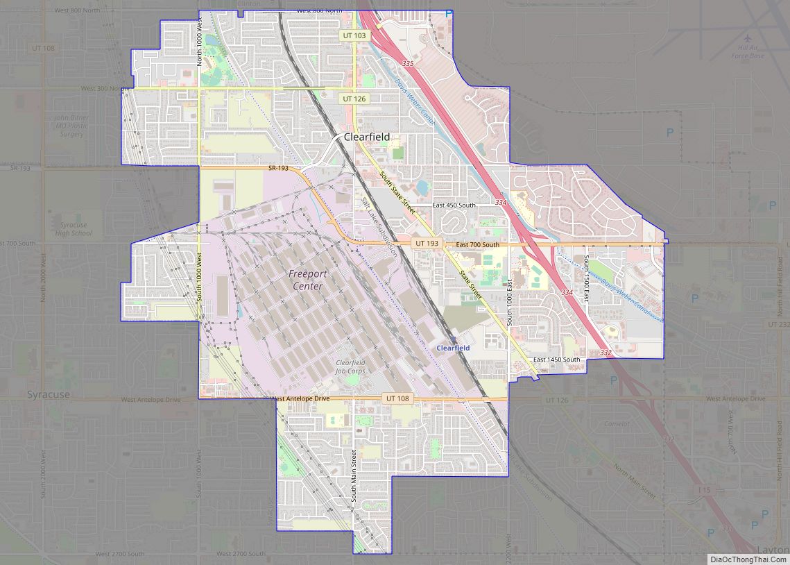
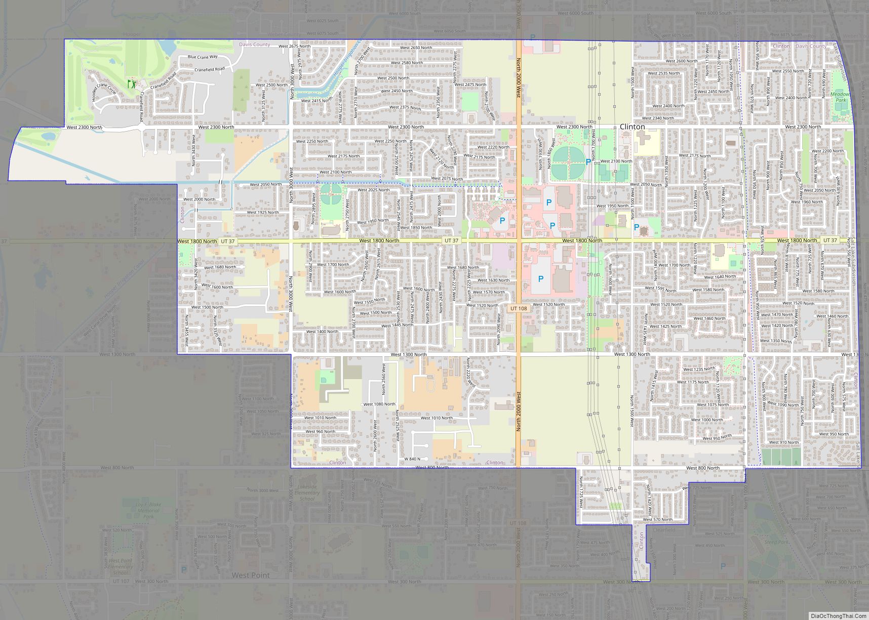
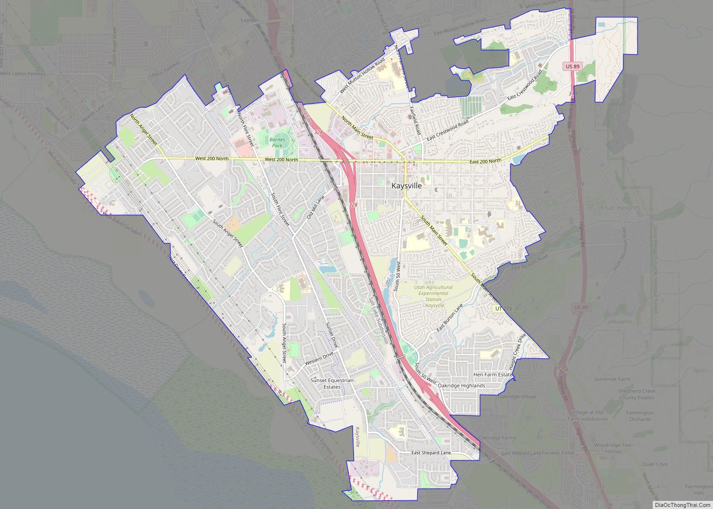
Woods Cross Road Map
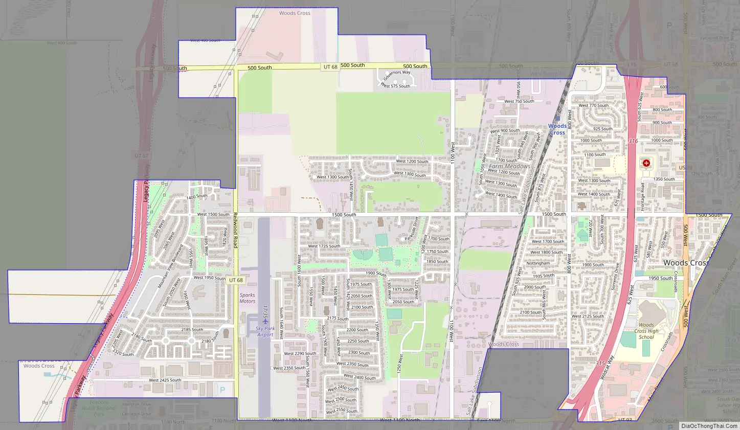
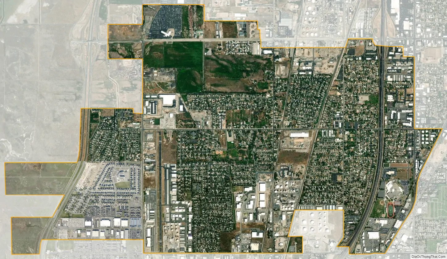
Woods Cross city Satellite Map
Geography
Woods Cross is located in southeastern Davis County, bordered to the north by West Bountiful, to the east by Bountiful, and to the south by the city of North Salt Lake. The city lies along the Wasatch Front next to the Wasatch Mountain Range. Water is supplied by mountain springs and snowpack running off of the Wasatch Mountains. The climate varies greatly throughout the year, with very hot summers and mildly cold winters, with very pleasant spring and fall seasons separating the two. Precipitation is mainly accumulated in the winter and spring, but there is not enough to sustain any aquifers. According to the United States Census Bureau, Woods Cross has a total area of 3.9 square miles (10.0 km), all land.
See also
Map of Utah State and its subdivision: Map of other states:- Alabama
- Alaska
- Arizona
- Arkansas
- California
- Colorado
- Connecticut
- Delaware
- District of Columbia
- Florida
- Georgia
- Hawaii
- Idaho
- Illinois
- Indiana
- Iowa
- Kansas
- Kentucky
- Louisiana
- Maine
- Maryland
- Massachusetts
- Michigan
- Minnesota
- Mississippi
- Missouri
- Montana
- Nebraska
- Nevada
- New Hampshire
- New Jersey
- New Mexico
- New York
- North Carolina
- North Dakota
- Ohio
- Oklahoma
- Oregon
- Pennsylvania
- Rhode Island
- South Carolina
- South Dakota
- Tennessee
- Texas
- Utah
- Vermont
- Virginia
- Washington
- West Virginia
- Wisconsin
- Wyoming