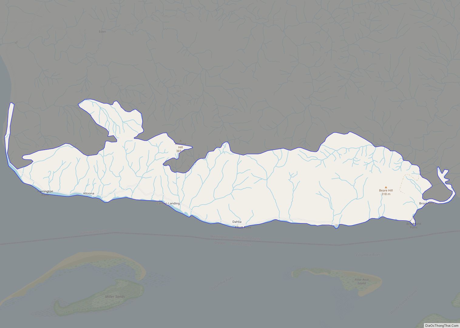
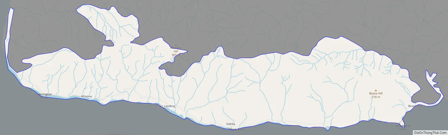
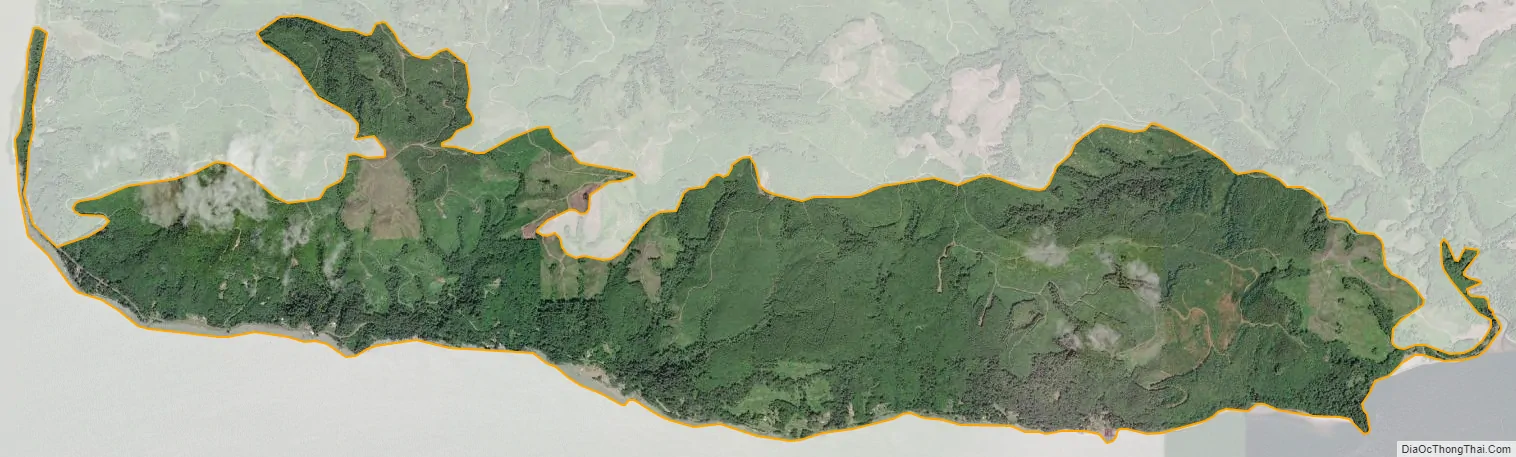
Altoona is a census-designated place (CDP) in Wahkiakum County, Washington, approximately 27 miles northwest of the town of Cathlamet. The population was 39 as of the 2010 census. The CDP includes the communities of Carlson Landing and Dahlia.
| Name: | Altoona CDP |
|---|---|
| LSAD Code: | 57 |
| LSAD Description: | CDP (suffix) |
| State: | Washington |
| County: | Wahkiakum County |
| Elevation: | 495 ft (151 m) |
| Total Area: | 5.091 sq mi (13.186 km²) |
| Land Area: | 5.091 sq mi (13.186 km²) |
| Water Area: | 0.000 sq mi (0.000 km²) 0.00% |
| Total Population: | 39 |
| ZIP code: | 98643 |
| Area code: | 360 |
| FIPS code: | 5301745 |
| GNISfeature ID: | 2584943 |
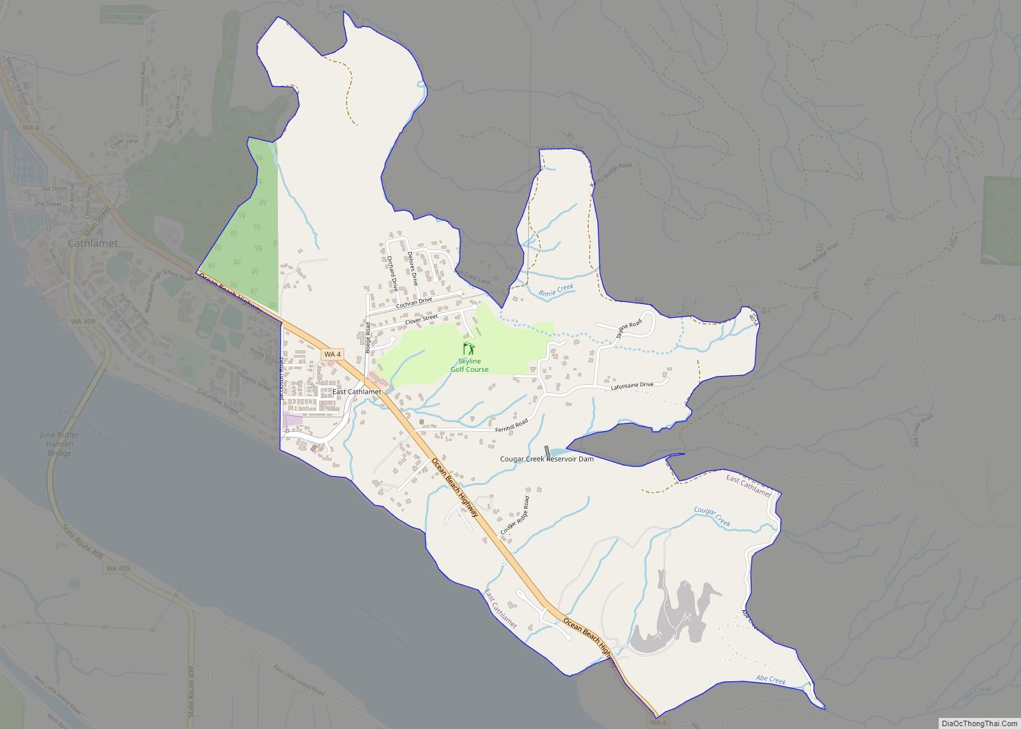
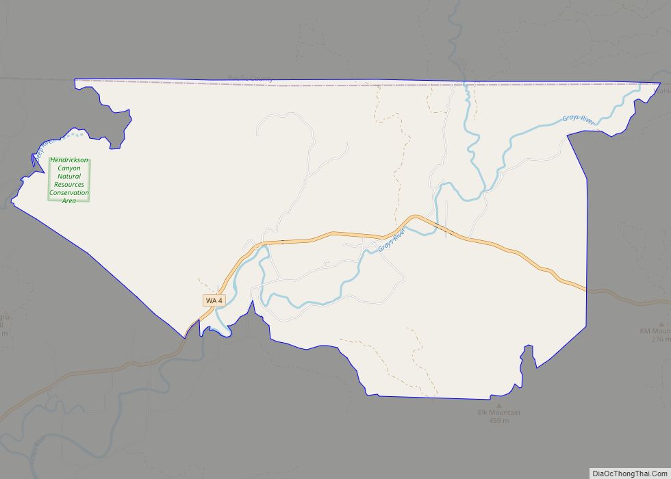
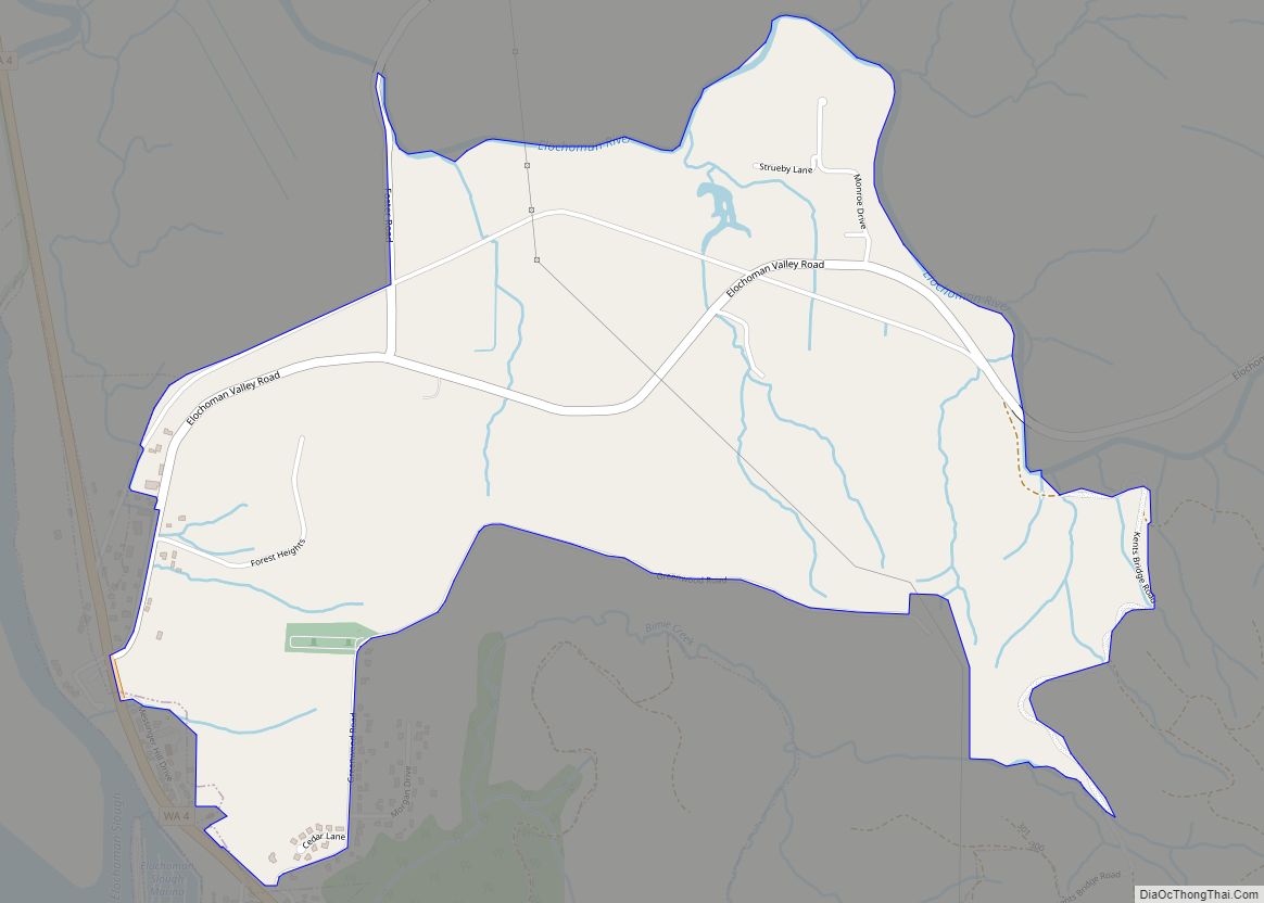
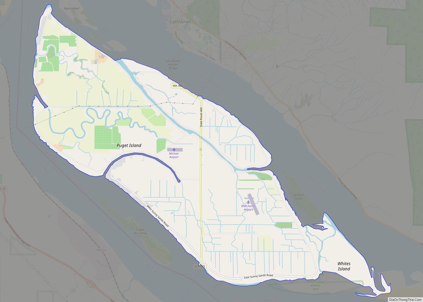
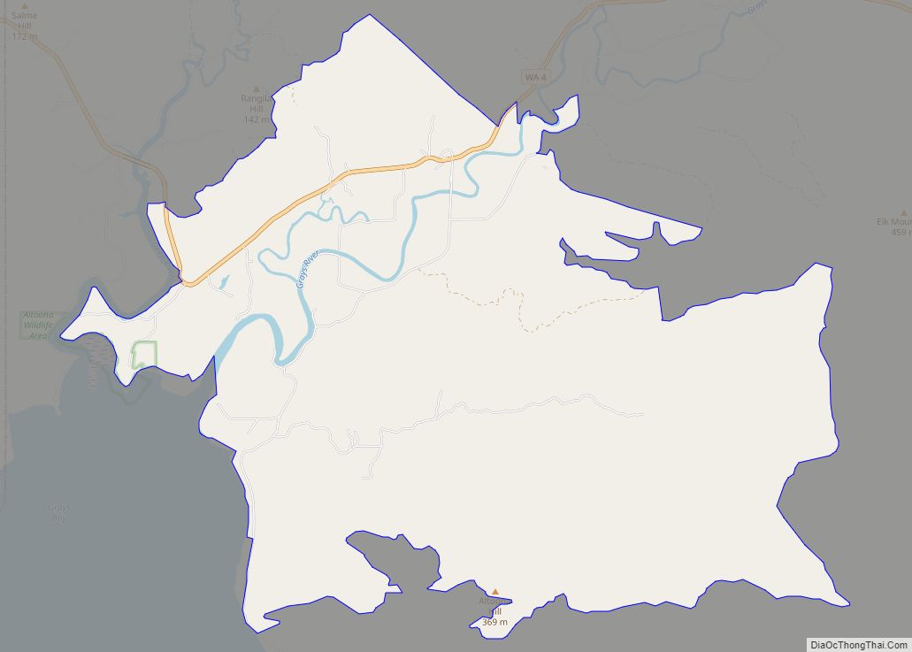
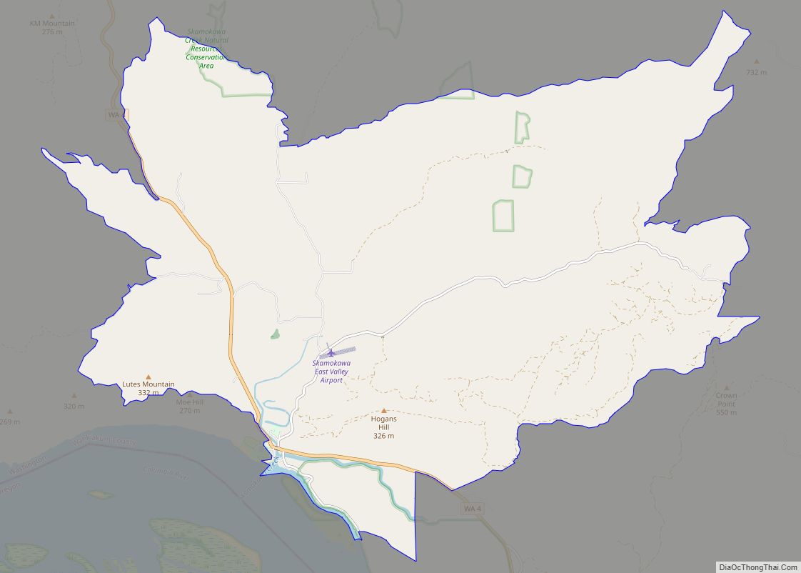
Online Interactive Map
Click on ![]() to view map in "full screen" mode.
to view map in "full screen" mode.
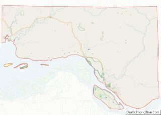
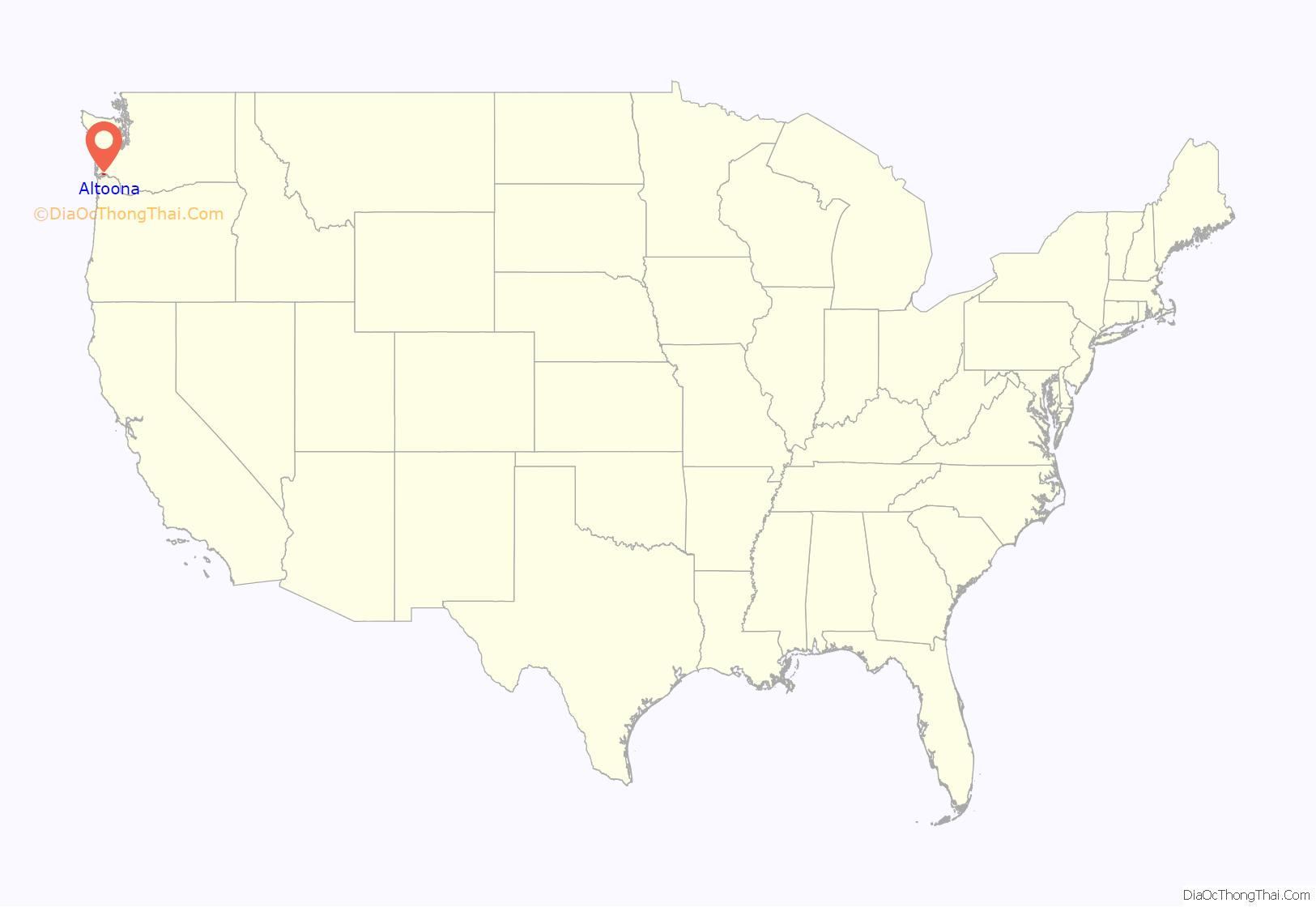
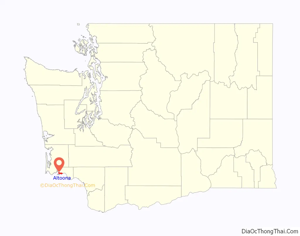
Altoona location map. Where is Altoona CDP?
History
Altoona was one of six fish-buying stations and canneries located within a six-mile stretch of the Columbia River in the Grays Bay area. Before the decline of the Columbia River salmon industry during the 1940s, 39 canneries were operating along the lower Columbia River. Altoona was named after Altona, a city in Germany and a major fish-processing city on the Elbe River, by a Danish immigrant named Hans Petersen. In 1903, Petersen purchased 830 acres of land and founded the Altoona Mercantile and Fish Company Cannery. By 1910, the Altoona cannery was the fourth largest salmon cannery on the Columbia. Altoona became a major stop for steamers and fishing boats traveling between Astoria and Portland. Altoona was accessible only by boat; there was no direct road to the town until the early 1950s. In 1935, the Columbia River Packers Association (known today as Bumble Bee Foods) purchased the cannery and moved their headquarters from Cottardi Station, located about 1/2 mile downstream, to Altoona. The town prospered until the decline of the Columbia River salmon industry, which resulted in the closing of the large Altoona cannery in 1947. The derelict cannery building remained until it collapsed during a windstorm and fell into the Columbia River in the late 1990s. After the cannery shut down, the population of Altoona began to dwindle, and today it has less than 50 residents.
Altoona Road Map
Altoona city Satellite Map
Geography
Altoona is located at 46°16′12″N 123°36′54″W / 46.27000°N 123.61500°W / 46.27000; -123.61500 (46.269933, -123.61493).
According to the United States Census Bureau, the CDP has a total area of 5.09 square miles (13.2 km), all of which is land, while none of it is water.
See also
Map of Washington State and its subdivision:- Adams
- Asotin
- Benton
- Chelan
- Clallam
- Clark
- Columbia
- Cowlitz
- Douglas
- Ferry
- Franklin
- Garfield
- Grant
- Grays Harbor
- Island
- Jefferson
- King
- Kitsap
- Kittitas
- Klickitat
- Lewis
- Lincoln
- Mason
- Okanogan
- Pacific
- Pend Oreille
- Pierce
- San Juan
- Skagit
- Skamania
- Snohomish
- Spokane
- Stevens
- Thurston
- Wahkiakum
- Walla Walla
- Whatcom
- Whitman
- Yakima
- Alabama
- Alaska
- Arizona
- Arkansas
- California
- Colorado
- Connecticut
- Delaware
- District of Columbia
- Florida
- Georgia
- Hawaii
- Idaho
- Illinois
- Indiana
- Iowa
- Kansas
- Kentucky
- Louisiana
- Maine
- Maryland
- Massachusetts
- Michigan
- Minnesota
- Mississippi
- Missouri
- Montana
- Nebraska
- Nevada
- New Hampshire
- New Jersey
- New Mexico
- New York
- North Carolina
- North Dakota
- Ohio
- Oklahoma
- Oregon
- Pennsylvania
- Rhode Island
- South Carolina
- South Dakota
- Tennessee
- Texas
- Utah
- Vermont
- Virginia
- Washington
- West Virginia
- Wisconsin
- Wyoming