Amboy (/ˈæmbɔɪ/) is a census-designated place (CDP) in Clark County, Washington, United States. The population was 1,838 at the 2020 census, up from 1,608 at the 2010 census. It is located 33 miles northeast of Vancouver which is part of the Portland-Vancouver metropolitan area.
| Name: | Amboy CDP |
|---|---|
| LSAD Code: | 57 |
| LSAD Description: | CDP (suffix) |
| State: | Washington |
| County: | Clark County |
| Elevation: | 410 ft (125 m) |
| Total Area: | 10.00 sq mi (25.91 km²) |
| Land Area: | 9.98 sq mi (25.86 km²) |
| Water Area: | 0.02 sq mi (0.04 km²) |
| Total Population: | 1,838 |
| Population Density: | 161/sq mi (62.2/km²) |
| ZIP code: | 98601 |
| Area code: | 360 |
| FIPS code: | 5301850 |
| GNISfeature ID: | 1515846 |
Online Interactive Map
Click on ![]() to view map in "full screen" mode.
to view map in "full screen" mode.
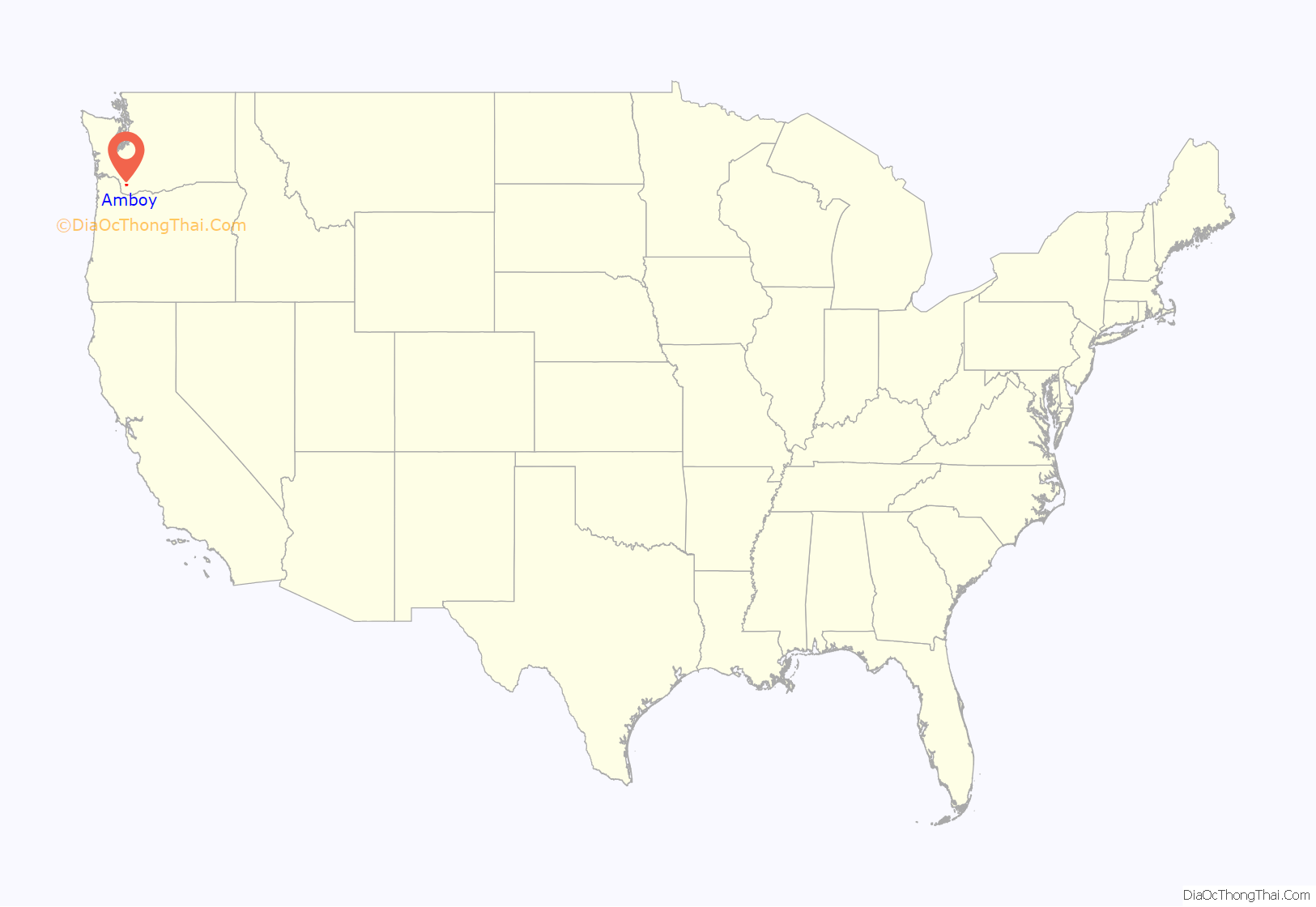
Amboy location map. Where is Amboy CDP?
History
Amboy was named by Amos M. Ball, who settled in the area in 1879 and whose family operated the Post Office after it was established in 1880. According to some sources, there were several settlers in the area, including Ball, with the initials A.M.B., who referred to themselves as the A.M. Boys. Reportedly, Ball named the town after that group. Another story states that the town was named after Ball’s son, referred to by locals as the A.M. Boy.
A historical church known as the Amboy United Brethren Church was built in 1910 and converted into a museum in 2000.
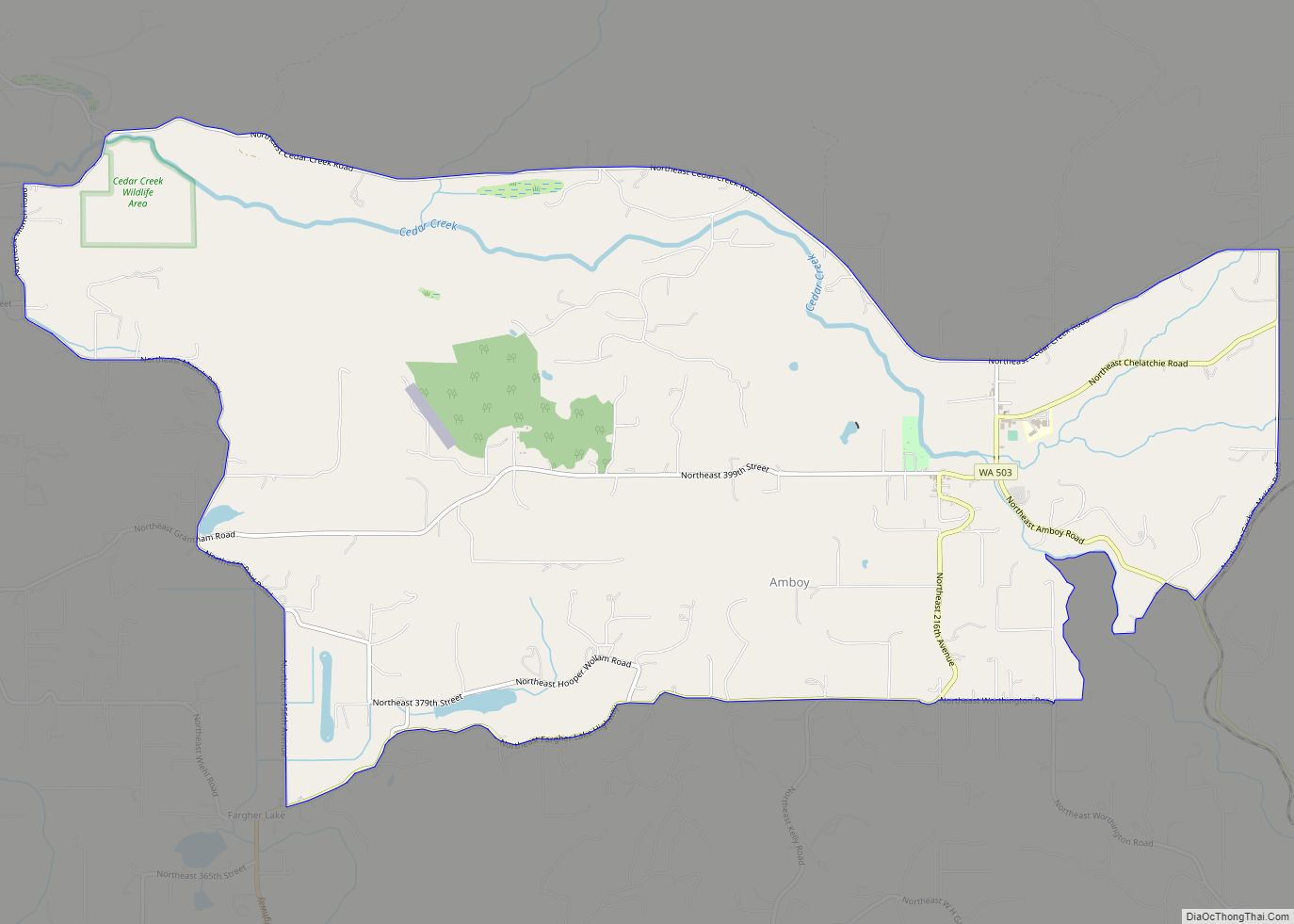
Amboy Road Map
Amboy city Satellite Map
Geography
Amboy is located in northern Clark County at 45°54′12″N 122°27′56″W / 45.90333°N 122.46556°W / 45.90333; -122.46556, at the junction of Chelatchie Creek and Cedar Creek, a west-flowing tributary of the Lewis River. Washington State Route 503 passes through the community, leading southwest 11 miles (18 km) to Lewisville and northeast 11 miles (18 km) to Yale. Amboy is located around 30 miles (48 km) northeast of Vancouver, Washington.
According to the United States Census Bureau, in 2010 the Amboy CDP had a total area of 10.0 square miles (25.9 km), of which 0.02 square miles (0.04 km), or 0.16%, is water. This was a reduction from a total area of 14.3 square miles (37.1 km) at the 2000 census.
See also
Map of Washington State and its subdivision:- Adams
- Asotin
- Benton
- Chelan
- Clallam
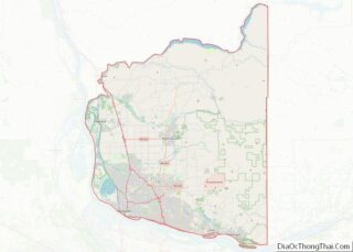
- Clark
- Columbia
- Cowlitz
- Douglas
- Ferry
- Franklin
- Garfield
- Grant
- Grays Harbor
- Island
- Jefferson
- King
- Kitsap
- Kittitas
- Klickitat
- Lewis
- Lincoln
- Mason
- Okanogan
- Pacific
- Pend Oreille
- Pierce
- San Juan
- Skagit
- Skamania
- Snohomish
- Spokane
- Stevens
- Thurston
- Wahkiakum
- Walla Walla
- Whatcom
- Whitman
- Yakima
- Alabama
- Alaska
- Arizona
- Arkansas
- California
- Colorado
- Connecticut
- Delaware
- District of Columbia
- Florida
- Georgia
- Hawaii
- Idaho
- Illinois
- Indiana
- Iowa
- Kansas
- Kentucky
- Louisiana
- Maine
- Maryland
- Massachusetts
- Michigan
- Minnesota
- Mississippi
- Missouri
- Montana
- Nebraska
- Nevada
- New Hampshire
- New Jersey
- New Mexico
- New York
- North Carolina
- North Dakota
- Ohio
- Oklahoma
- Oregon
- Pennsylvania
- Rhode Island
- South Carolina
- South Dakota
- Tennessee
- Texas
- Utah
- Vermont
- Virginia
- Washington
- West Virginia
- Wisconsin
- Wyoming
