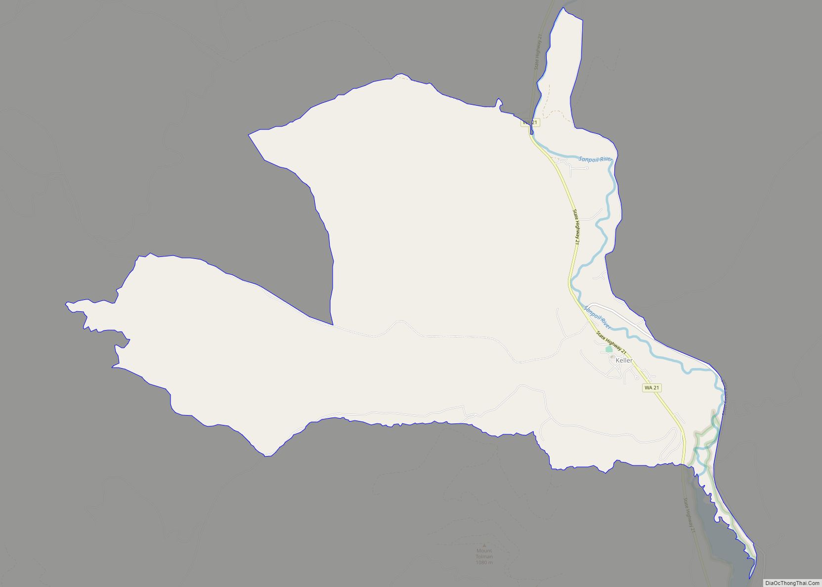
Barstow is a census-designated place (CDP) and unincorporated community in Ferry County in the U.S. state of Washington. As of the 2010 census it had a population of 59.
| Name: | Barstow CDP |
|---|---|
| LSAD Code: | 57 |
| LSAD Description: | CDP (suffix) |
| State: | Washington |
| County: | Ferry County |
| Elevation: | 1,400 ft (400 m) |
| Total Area: | 0.56 sq mi (1.45 km²) |
| Land Area: | 0.56 sq mi (1.45 km²) |
| Water Area: | 0.0 sq mi (0.0 km²) |
| Total Population: | 59 |
| Population Density: | 105/sq mi (40.7/km²) |
| FIPS code: | 5304370 |
Online Interactive Map
Click on ![]() to view map in "full screen" mode.
to view map in "full screen" mode.
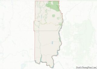
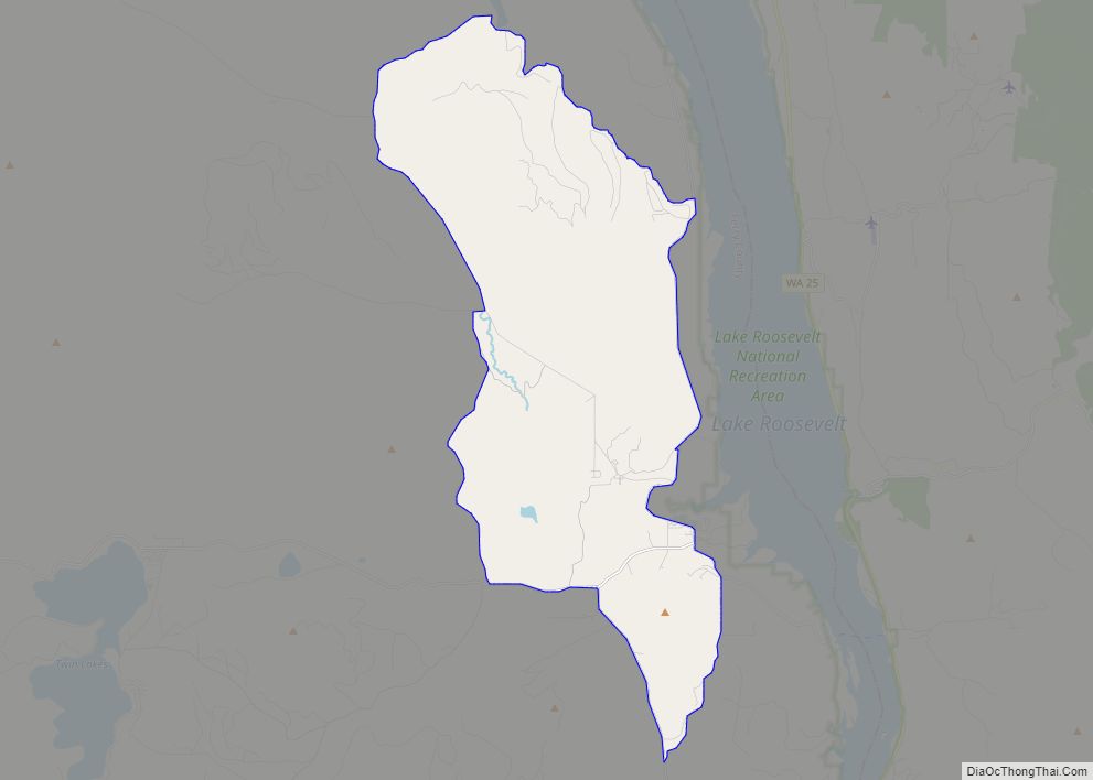
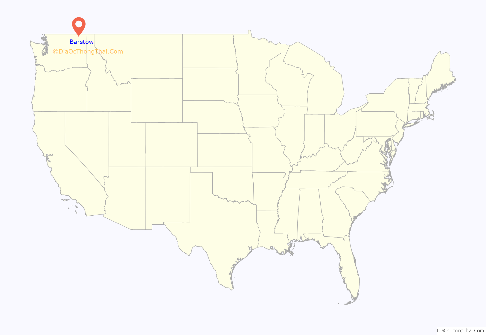
Barstow location map. Where is Barstow CDP?
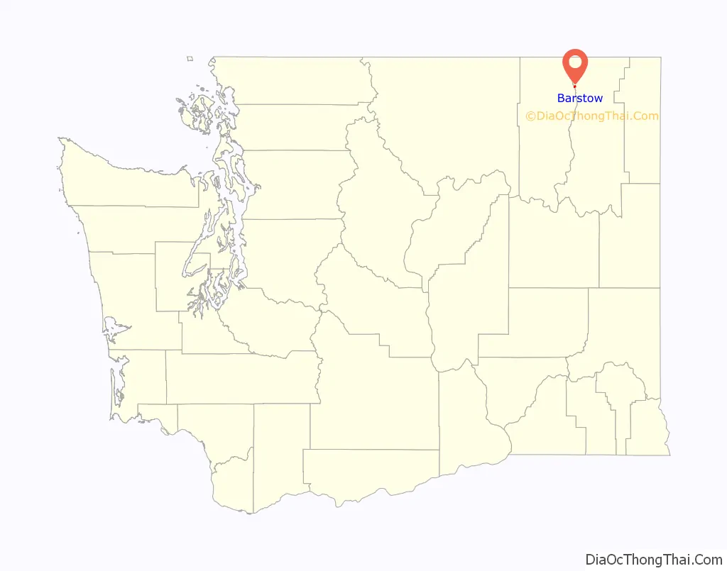
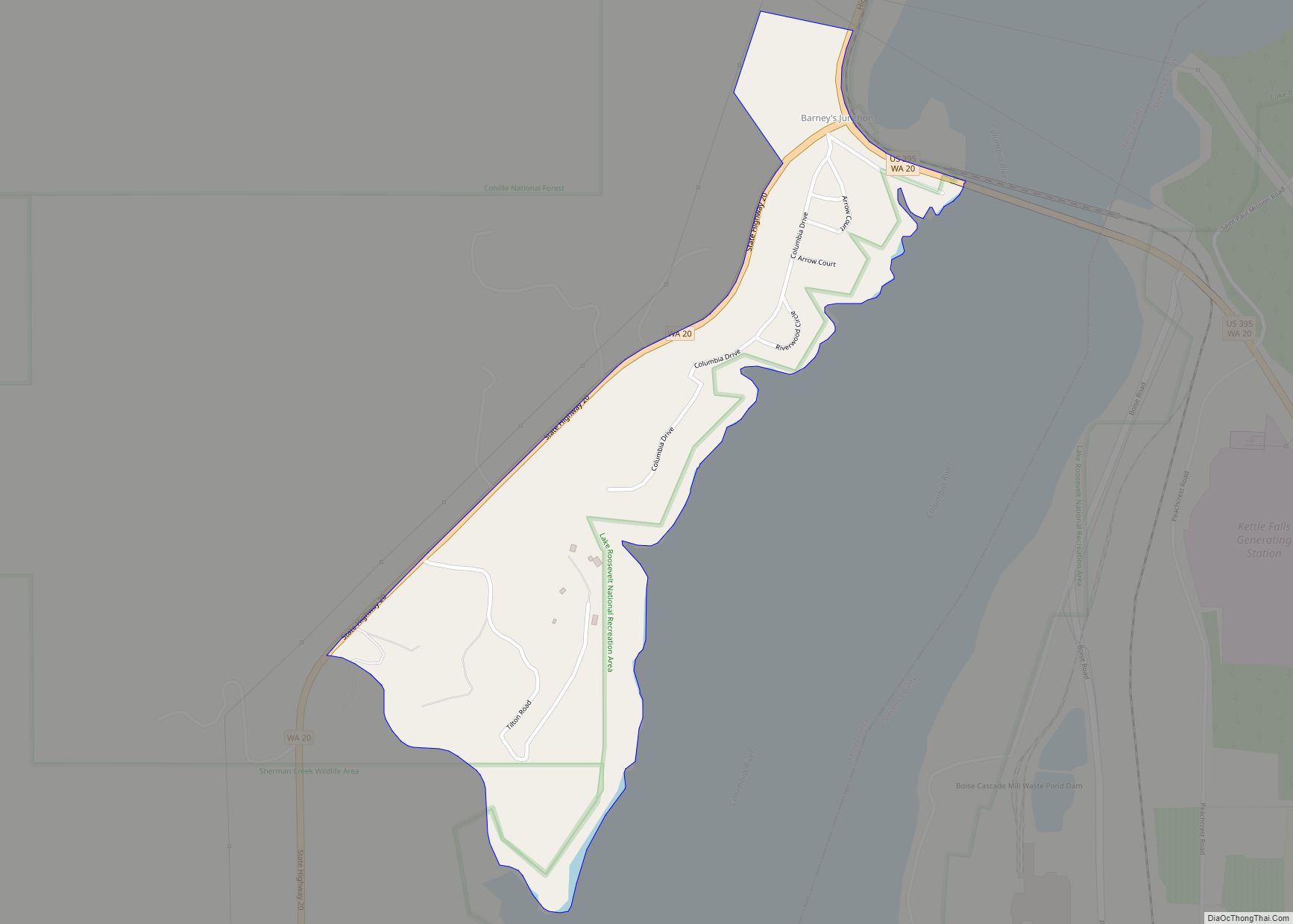
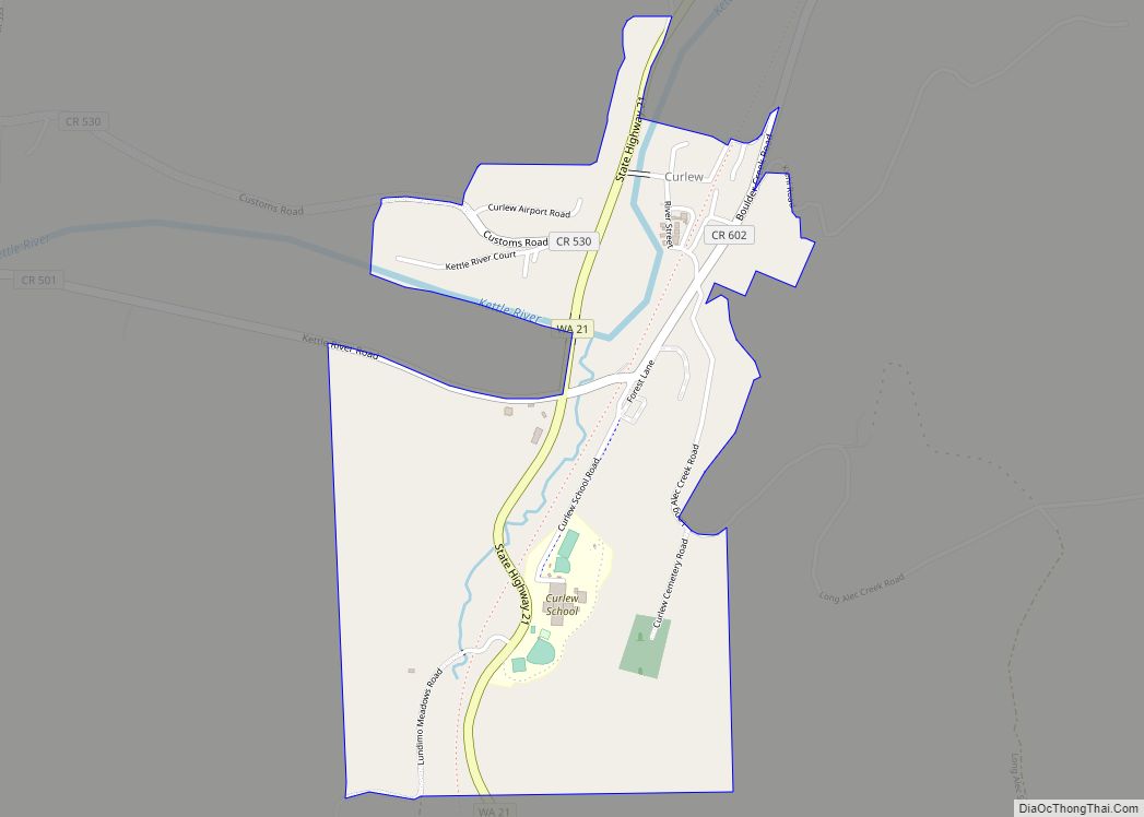
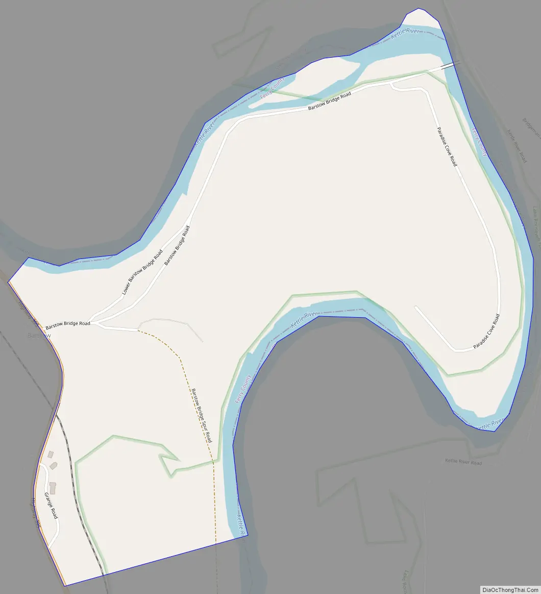
Barstow Road Map
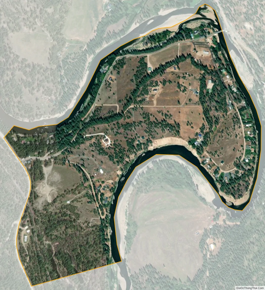
Barstow city Satellite Map
Geography
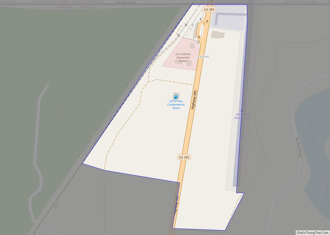
Barstow is located in northeastern Ferry County, along U.S. Route 395 on the west side of the Kettle River. US 395 leads south 14 miles (23 km) to Kettle Falls and north 17 miles (27 km) to the Canadian border at Laurier.
According to the U.S. Census Bureau, the Barstow CDP has an area of 0.56 square miles (1.45 km), all of it land.
See also
Map of Washington State and its subdivision:- Adams
- Asotin
- Benton
- Chelan
- Clallam
- Clark
- Columbia
- Cowlitz
- Douglas
- Ferry
- Franklin
- Garfield
- Grant
- Grays Harbor
- Island
- Jefferson
- King
- Kitsap
- Kittitas
- Klickitat
- Lewis
- Lincoln
- Mason
- Okanogan
- Pacific
- Pend Oreille
- Pierce
- San Juan
- Skagit
- Skamania
- Snohomish
- Spokane
- Stevens
- Thurston
- Wahkiakum
- Walla Walla
- Whatcom
- Whitman
- Yakima
- Alabama
- Alaska
- Arizona
- Arkansas
- California
- Colorado
- Connecticut
- Delaware
- District of Columbia
- Florida
- Georgia
- Hawaii
- Idaho
- Illinois
- Indiana
- Iowa
- Kansas
- Kentucky
- Louisiana
- Maine
- Maryland
- Massachusetts
- Michigan
- Minnesota
- Mississippi
- Missouri
- Montana
- Nebraska
- Nevada
- New Hampshire
- New Jersey
- New Mexico
- New York
- North Carolina
- North Dakota
- Ohio
- Oklahoma
- Oregon
- Pennsylvania
- Rhode Island
- South Carolina
- South Dakota
- Tennessee
- Texas
- Utah
- Vermont
- Virginia
- Washington
- West Virginia
- Wisconsin
- Wyoming