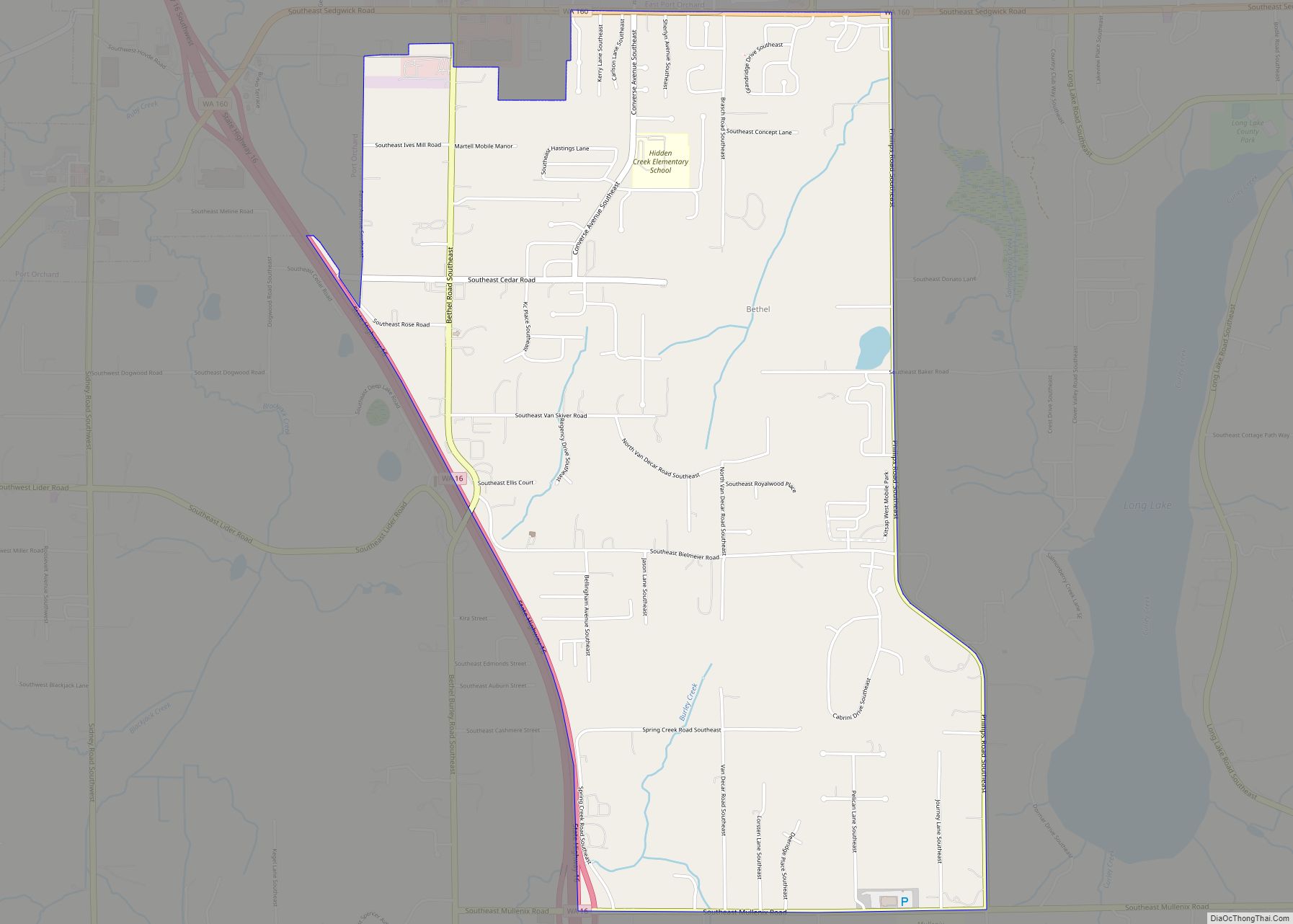
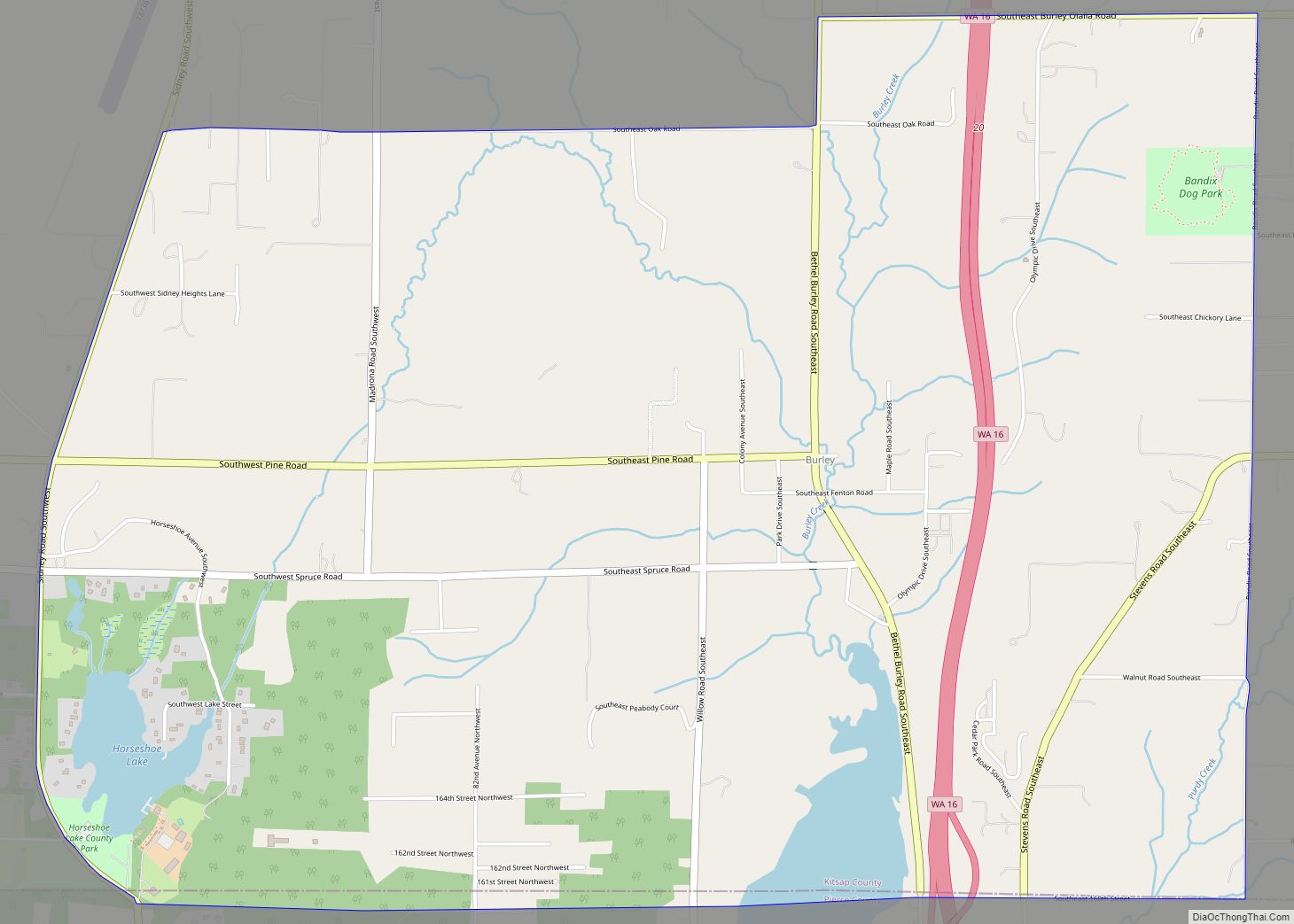
Bethel is a census-designated place (CDP) in Kitsap County, Washington, United States. Located a few miles south of the city of Port Orchard, Bethel is a wooded residential area. Most residents commute to Port Orchard or nearby cities. It was first designated a place by the Census Bureau in the 2010 Census, at which time its population was 3,713.
| Name: | Bethel CDP |
|---|---|
| LSAD Code: | 57 |
| LSAD Description: | CDP (suffix) |
| State: | Washington |
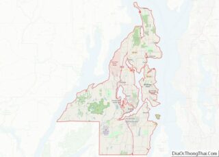
| County: | Kitsap County |
| Elevation: | 310 ft (90 m) |
| Total Area: | 3.31 sq mi (8.57 km²) |
| Land Area: | 3.31 sq mi (8.57 km²) |
| Water Area: | 0.0 sq mi (0.0 km²) |
| Total Population: | 3,713 |
| Population Density: | 1,122/sq mi (433.2/km²) |
| ZIP code: | 98387 |
| Area code: | 360 |
| FIPS code: | 5305735 |
| GNISfeature ID: | 1512005 |
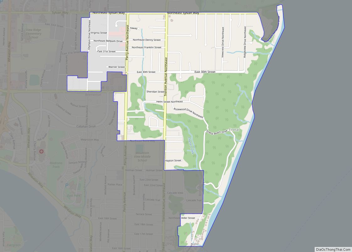
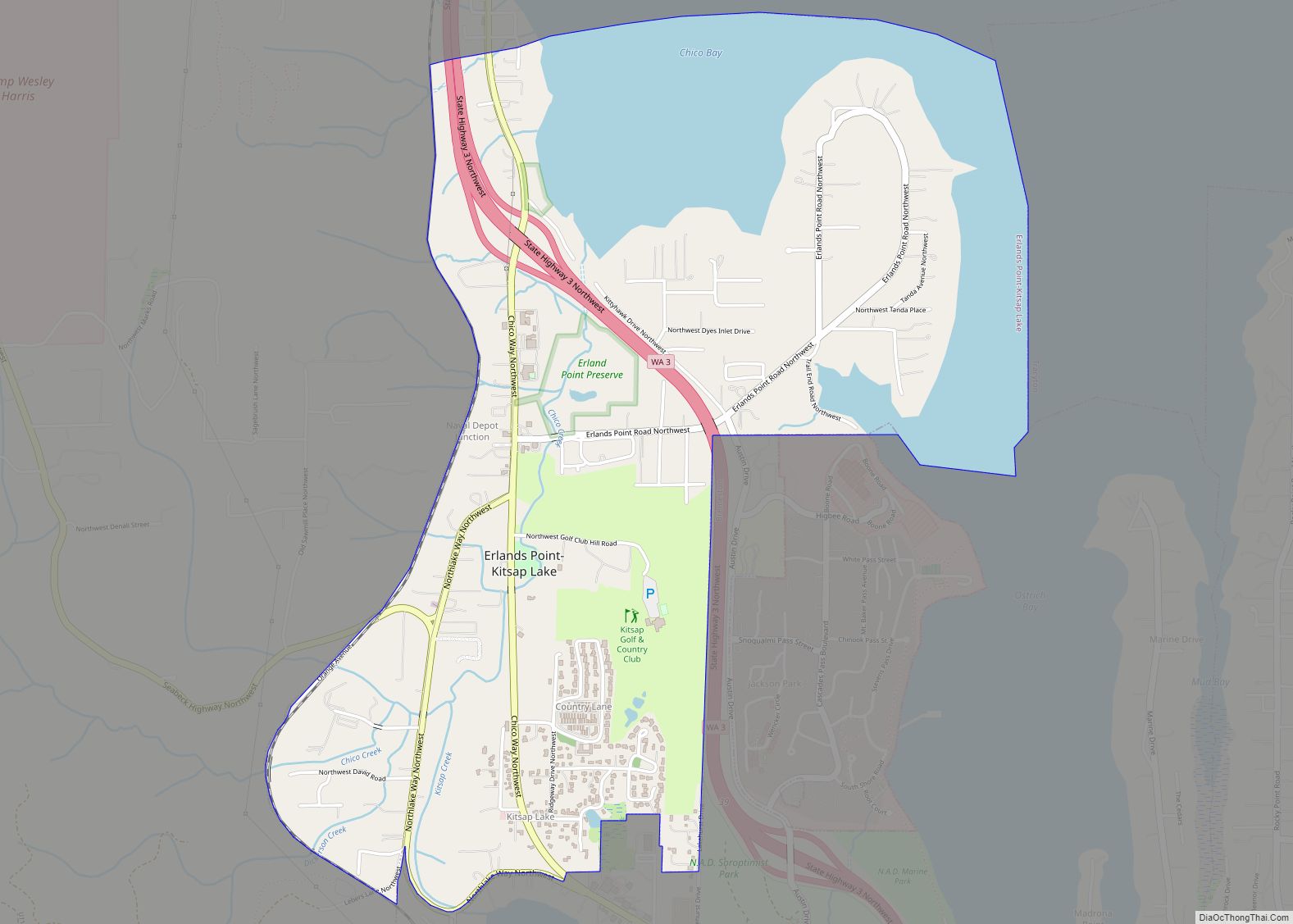
Online Interactive Map
Click on ![]() to view map in "full screen" mode.
to view map in "full screen" mode.
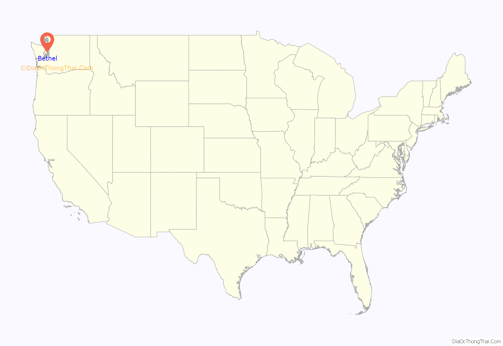
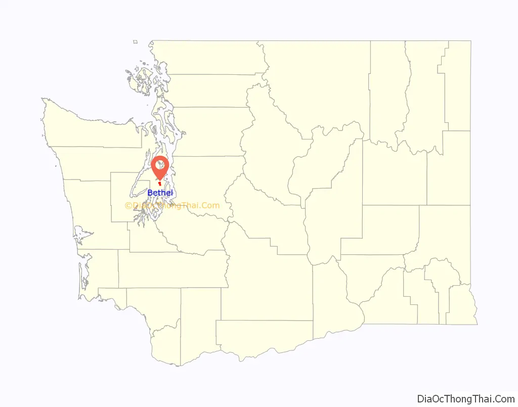
Bethel location map. Where is Bethel CDP?
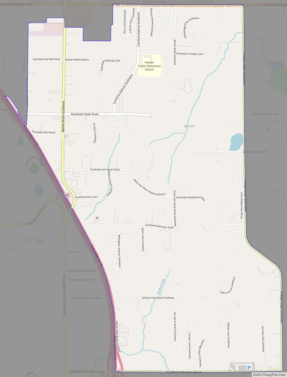
Bethel Road Map
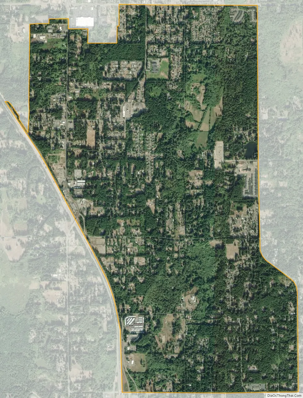
Bethel city Satellite Map
Geography
Bethel is in southern Kitsap County and is bordered to the northwest by Port Orchard, to the north by unincorporated East Port Orchard, and to the northeast by unincorporated Parkwood. Washington State Route 16 forms the western edge of the Bethel CDP; the highway runs northwest 5 miles (8 km) to Gorst and south 23 miles (37 km) to Tacoma. Bremerton is 9 miles (14 km) to the north via State Routes 16 and 3. State Route 160 forms the northern edge of the Bethel CDP and leads east 5 miles (8 km) to Southworth.
According to the U.S. Census Bureau, the Bethel CDP has an area of 3.3 square miles (8.6 km), all of it land.
See also
Map of Washington State and its subdivision:- Adams
- Asotin
- Benton
- Chelan
- Clallam
- Clark
- Columbia
- Cowlitz
- Douglas
- Ferry
- Franklin
- Garfield
- Grant
- Grays Harbor
- Island
- Jefferson
- King
- Kitsap
- Kittitas
- Klickitat
- Lewis
- Lincoln
- Mason
- Okanogan
- Pacific
- Pend Oreille
- Pierce
- San Juan
- Skagit
- Skamania
- Snohomish
- Spokane
- Stevens
- Thurston
- Wahkiakum
- Walla Walla
- Whatcom
- Whitman
- Yakima
- Alabama
- Alaska
- Arizona
- Arkansas
- California
- Colorado
- Connecticut
- Delaware
- District of Columbia
- Florida
- Georgia
- Hawaii
- Idaho
- Illinois
- Indiana
- Iowa
- Kansas
- Kentucky
- Louisiana
- Maine
- Maryland
- Massachusetts
- Michigan
- Minnesota
- Mississippi
- Missouri
- Montana
- Nebraska
- Nevada
- New Hampshire
- New Jersey
- New Mexico
- New York
- North Carolina
- North Dakota
- Ohio
- Oklahoma
- Oregon
- Pennsylvania
- Rhode Island
- South Carolina
- South Dakota
- Tennessee
- Texas
- Utah
- Vermont
- Virginia
- Washington
- West Virginia
- Wisconsin
- Wyoming