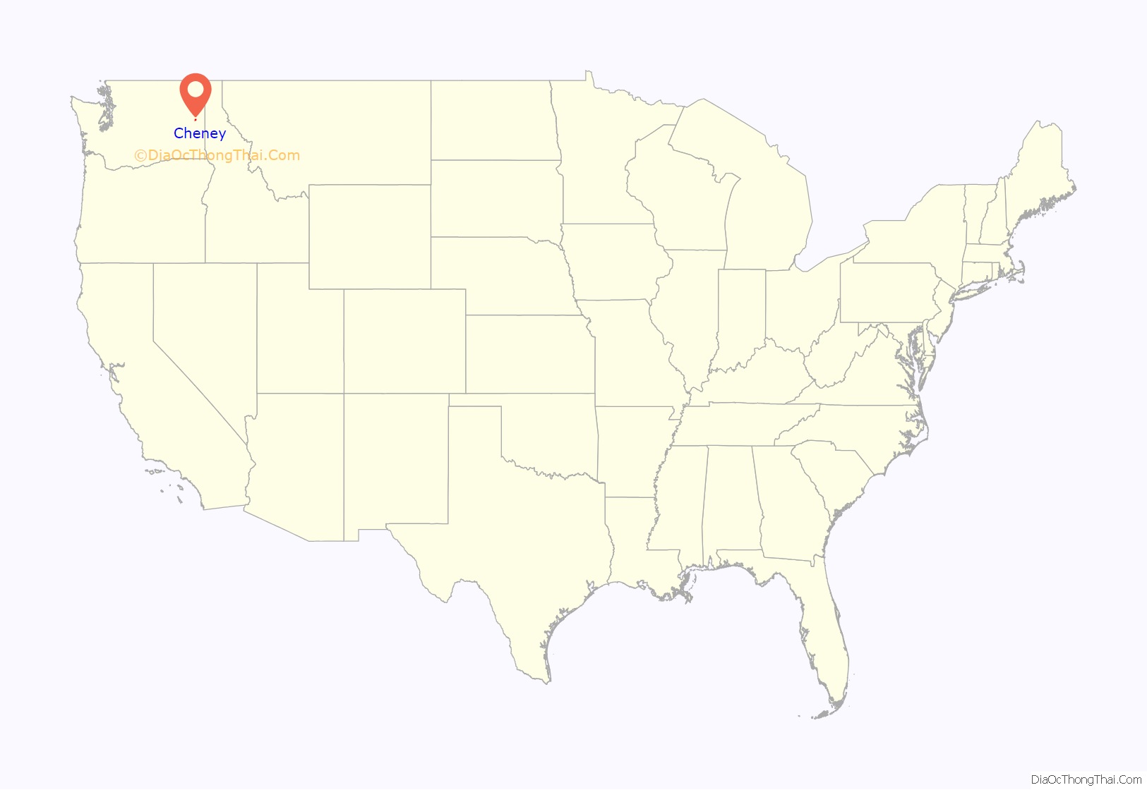
Cheney (/ˈtʃiːni/ CHEE-nee) is a city in Spokane County, Washington, United States. The full-time resident population was 13,255 as of the 2020 census. Eastern Washington University is located in Cheney. When classes are in session at EWU, the city’s population reaches approximately 17,600 people temporarily.
| Name: | Cheney city |
|---|---|
| LSAD Code: | 25 |
| LSAD Description: | city (suffix) |
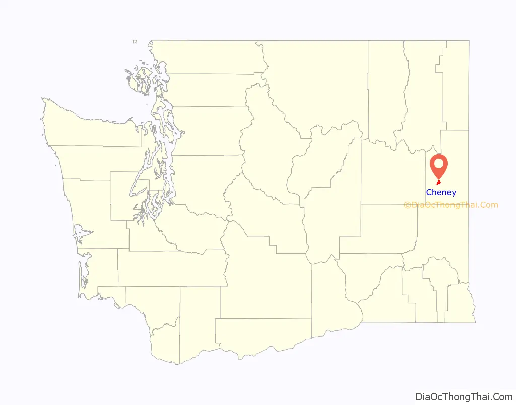
| State: | Washington |
| County: | Spokane County |
| Elevation: | 2,352 ft (717 m) |
| Total Area: | 4.37 sq mi (11.32 km²) |
| Land Area: | 4.34 sq mi (11.25 km²) |
| Water Area: | 0.03 sq mi (0.08 km²) |
| Total Population: | 13,255 |
| Population Density: | 3,052.7/sq mi (1,178.7/km²) |
| ZIP code: | 99004 |
| Area code: | 509 |
| FIPS code: | 5311825 |
| GNISfeature ID: | 1531416 |
| Website: | cityofcheney.org |
Online Interactive Map
Click on ![]() to view map in "full screen" mode.
to view map in "full screen" mode.
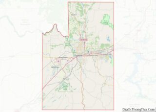
Cheney location map. Where is Cheney city?
History
Named for Boston railroad tycoon Benjamin Pierce Cheney, Cheney was officially incorporated on November 28, 1883.
The City of Cheney is located in Spokane County and is home to 13,255 residents, according to the 2020 Census. Cheney is proud of its small-town nature, which is enhanced by the diverse influence of Eastern Washington University, a public regional university with over 10,000 full-time students. The Seattle Seahawks of the National Football League held the majority of their summer training camps at EWU, from 1976–1985, and again from 1997 through the 2006 training camp.
Cheney developed into the city known today because of its strong ties to education, trail riding, and agriculture. This provided a strong economic base for the community and was the result of a much larger event that took place in the United States. In 1858, the last Native American defense occurred in Eastern Washington. Because isolated Eastern Washington was an area of this Native American unrest during the early part of the territorial period, it was not until the late 1860s and early 1870s that settlers made homes in the area. In the latter part of that decade, settlers attracted by plentiful water and timber and the promise of a railway line made their homes near a group of springs bubbling through a willow copse from the bank where the Burlington Northern depot now stands.
The name of the community, originally Section Thirteen, became Willow Springs, then became Depot Springs, because of its ties to the railroad, then Billings, in honor of a president of the Northern Pacific Company, and finally Cheney, Washington in honor of Benjamin P. Cheney, a director of the Northern Pacific Railroad.
Benjamin P. Cheney was the eldest son of a blacksmith who was born in 1815 in Hillsborough, New Hampshire. At age 16, he started to work as a stagecoach driver between Nashua and Keene. Five years later he had become a stage agent in Boston and soon organized an express between Boston and Montreal. He later consolidated that stagecoach line with others to form the United States and Canada Express Company, which 37 years later he merged with American Express, at which time he became American Express’s largest shareholder. The only time Cheney visited the town of Cheney was on September 18, 1883, following the “Last Spike Ceremony” which was the joining of the eastern and western divisions of the railroad. Cheney made donations to establish the Benjamin P. Cheney Academy in the town. The railroad donated 8 acres (32,000 m) of land so that the educational facility could be built. In 1880 the railroad was graded through the town, and in 1883 the town was incorporated with the streets laid out in the shape of a triangle with the base parallel to the tracks. The railroad tracks were not in a true east-west line, however, so the original town is askew with the map; the newer part of Cheney was built more to the compass.
After a series of boundary changes caused by legislative acts, Spokane County was created with a permanent county seat still to be selected. Contenders for the honor were Cheney and Spokane Falls (now Spokane). Cheney received a majority of the votes, but because of alleged irregularities at the polls, the election was won by Spokane Falls. When this was taken to court, a circuit court judge agreed to a ballot recount. Such recount failed to materialize, however, and the citizens of Cheney took matters into their own hands.
On a night when most of the residents of Spokane Falls were at a gala wedding celebration, a delegation of armed “Cheneyites” invaded Auditor’s office and took possession of the books, did their ballot recount which showed Cheney the victor, and made off into the darkness with the records. The “Grand Steal” was not contested and was confirmed by a court decision in 1881.
Cheney remained the county seat until 1886 when the faster-growing Spokane Falls again brought the issue to a vote and regained the seat. From this point on, the history of Cheney revolves around the growth of the State Normal School, later Eastern Washington College of Education, later Eastern Washington State College, and finally Eastern Washington University. The fierce determination of Cheney to build and promote its college was largely to regain its lost prestige over the county seat.
When Washington became a state in 1889, Cheney was able to obtain legislation establishing one of the state’s normal schools, mandatory under the Enabling Act, in Cheney. Its most convincing argument was that it already had the physical beginnings of a normal school in the Benjamin P. Cheney Academy.
Disagreement between legislators and governors resulted in three appropriation vetoes for the normal school in the next 25 years, but in each case, the citizens of Cheney somehow raised the funds to keep the college going until the next legislative session. The growth of the Cheney Normal School and the transformation of the frontier land into a thriving community were the basis for the changing attitudes in this area. The innovators who created the small community atmosphere were the women of the frontier. All of the energies that were once focused on making the West home for their families were transformed into creating a vision of preferred lifestyle choices for the youth.
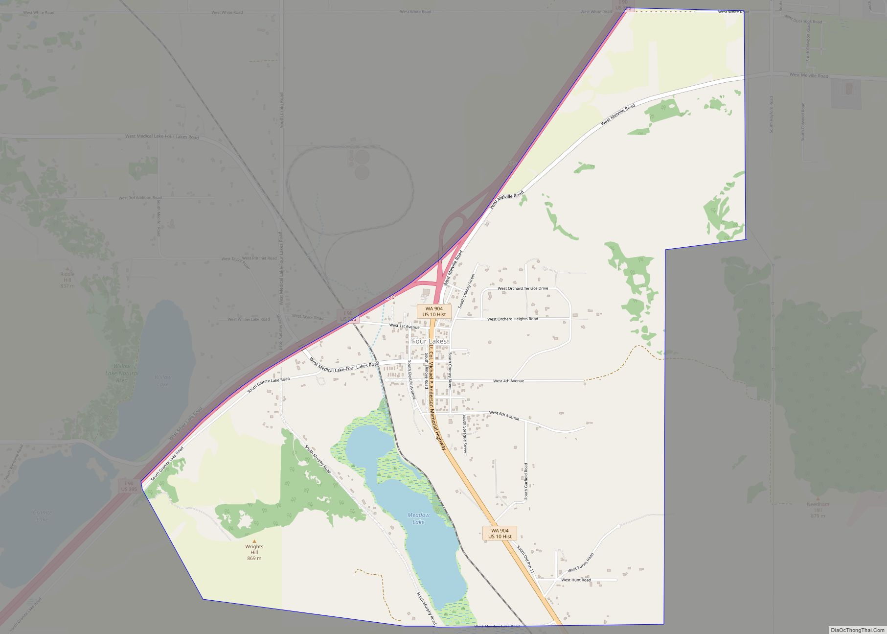
The Battle of Four Lakes
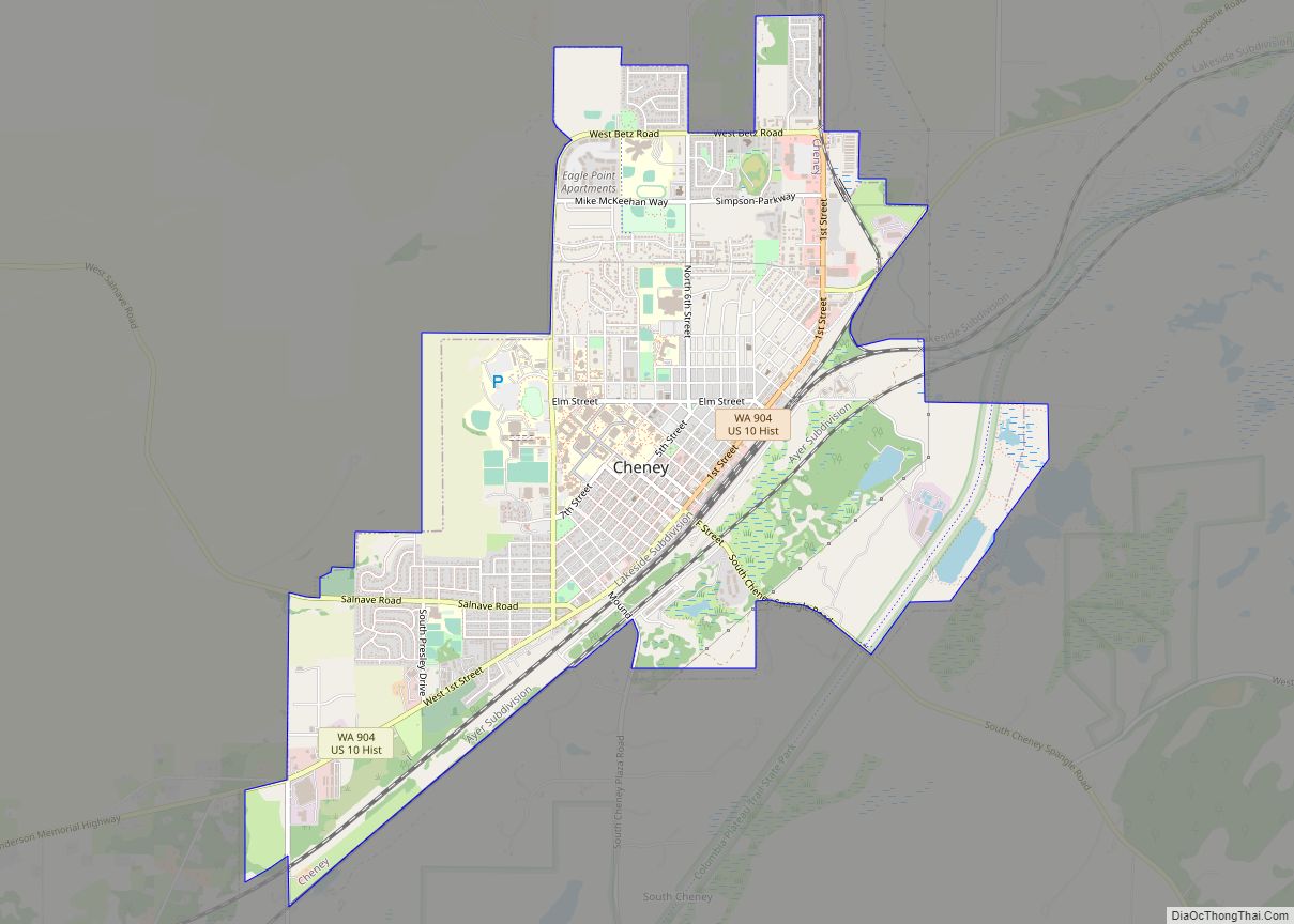
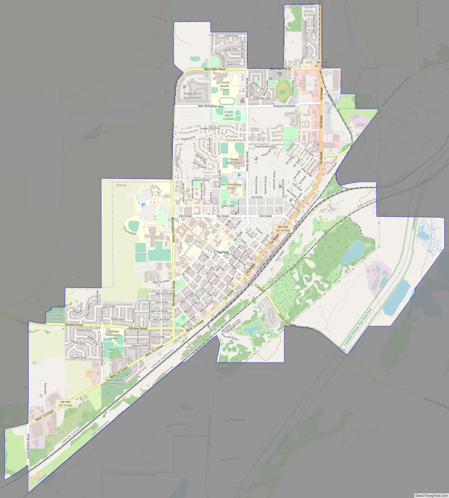
Cheney Road Map
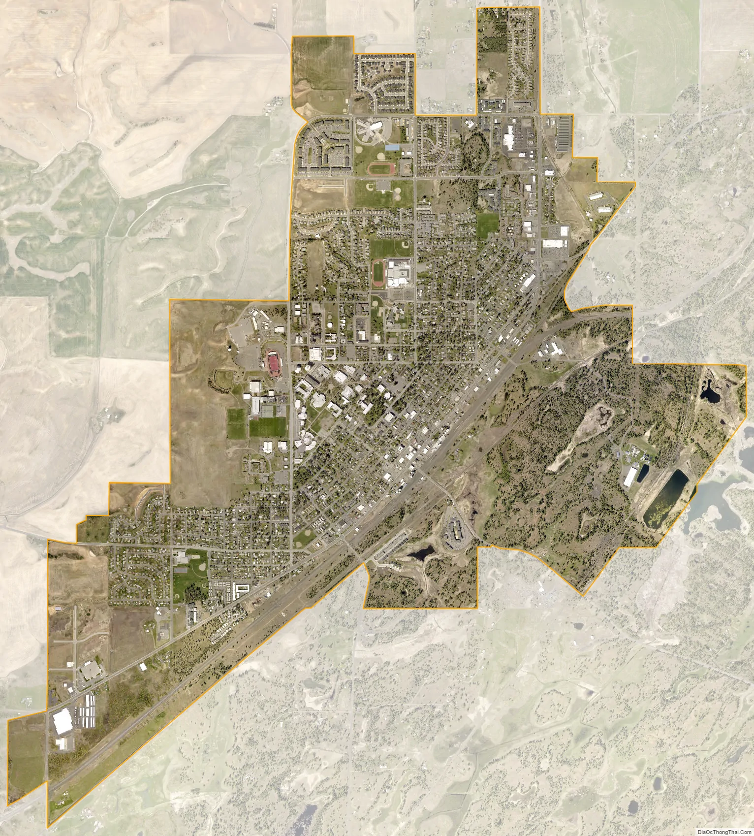
Cheney city Satellite Map
Geography
Cheney is located at 47°29′19″N 117°34′43″W / 47.48861°N 117.57861°W / 47.48861; -117.57861 (47.488634, -117.578581), at an elevation of 2,400 ft (730 m).
Cheney is at the highest point on the railroads between Spokane and Portland and sits atop the route of the gentlest gradient from the Spokane Valley to the Columbia Plateau, which was the reason for much of its early growth and railroad activity. The town is built on rolling Palouse hills overlooking Channeled Scablands carved out by the pre-historic Missoula Floods to the south and east. These scablands now host “pothole” lakes and wetlands, and are home to Turnbull National Wildlife Refuge. There are numerous lakes, along with the Spokane River and Little Spokane River, that are located within 20 miles (32 km) of Cheney that provide abundant recreational opportunities such as boating, swimming, water skiing, and fishing.
According to the United States Census Bureau, the city has a total area of 4.30 square miles (11.14 km), of which, 4.27 square miles (11.06 km) is land and 0.03 square miles (0.08 km) is water.
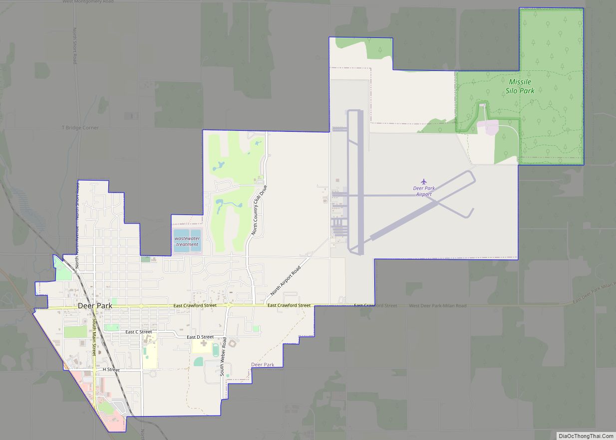
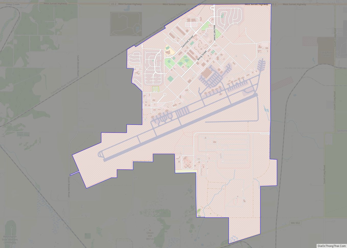
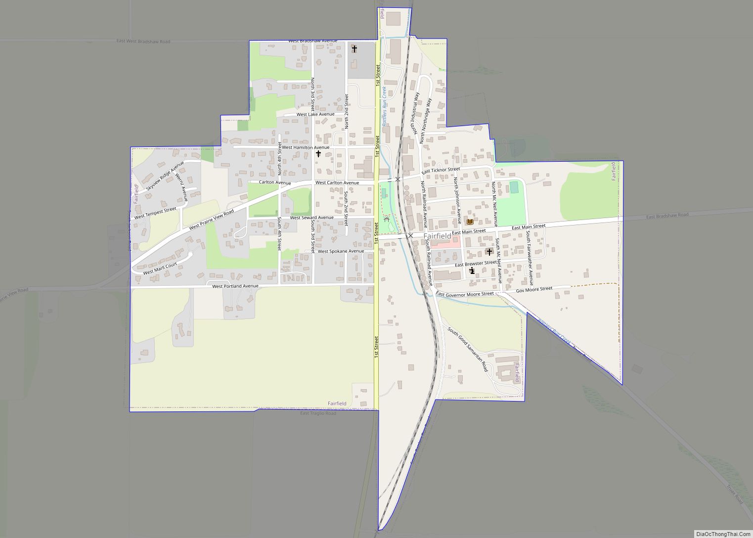
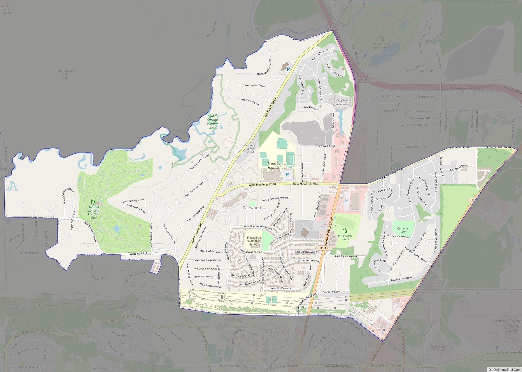
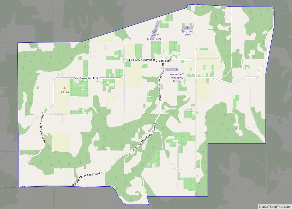
Nearby cities and towns
Climate
Cheney is located on the edge of the semi-arid region leading up to the foothills of the Selkirk Mountains, where the summers are hot and dry, and winters are cold, wet, and windy.
See also
Map of Washington State and its subdivision:- Adams
- Asotin
- Benton
- Chelan
- Clallam
- Clark
- Columbia
- Cowlitz
- Douglas
- Ferry
- Franklin
- Garfield
- Grant
- Grays Harbor
- Island
- Jefferson
- King
- Kitsap
- Kittitas
- Klickitat
- Lewis
- Lincoln
- Mason
- Okanogan
- Pacific
- Pend Oreille
- Pierce
- San Juan
- Skagit
- Skamania
- Snohomish
- Spokane
- Stevens
- Thurston
- Wahkiakum
- Walla Walla
- Whatcom
- Whitman
- Yakima
- Alabama
- Alaska
- Arizona
- Arkansas
- California
- Colorado
- Connecticut
- Delaware
- District of Columbia
- Florida
- Georgia
- Hawaii
- Idaho
- Illinois
- Indiana
- Iowa
- Kansas
- Kentucky
- Louisiana
- Maine
- Maryland
- Massachusetts
- Michigan
- Minnesota
- Mississippi
- Missouri
- Montana
- Nebraska
- Nevada
- New Hampshire
- New Jersey
- New Mexico
- New York
- North Carolina
- North Dakota
- Ohio
- Oklahoma
- Oregon
- Pennsylvania
- Rhode Island
- South Carolina
- South Dakota
- Tennessee
- Texas
- Utah
- Vermont
- Virginia
- Washington
- West Virginia
- Wisconsin
- Wyoming