Dollars Corner is a census-designated place (CDP) in Clark County, Washington, United States. The population was 1,108 at the 2010 census.
| Name: | Dollars Corner CDP |
|---|---|
| LSAD Code: | 57 |
| LSAD Description: | CDP (suffix) |
| State: | Washington |
| County: | Clark County |
| Elevation: | 220 ft (67 m) |
| Total Area: | 3.9 sq mi (10.2 km²) |
| Land Area: | 3.9 sq mi (10.2 km²) |
| Water Area: | 0.0 sq mi (0.0 km²) |
| Total Population: | 1,108 |
| Population Density: | 280/sq mi (108.1/km²) |
| FIPS code: | 5318198 |
| GNISfeature ID: | 1512155 |
Online Interactive Map
Click on ![]() to view map in "full screen" mode.
to view map in "full screen" mode.
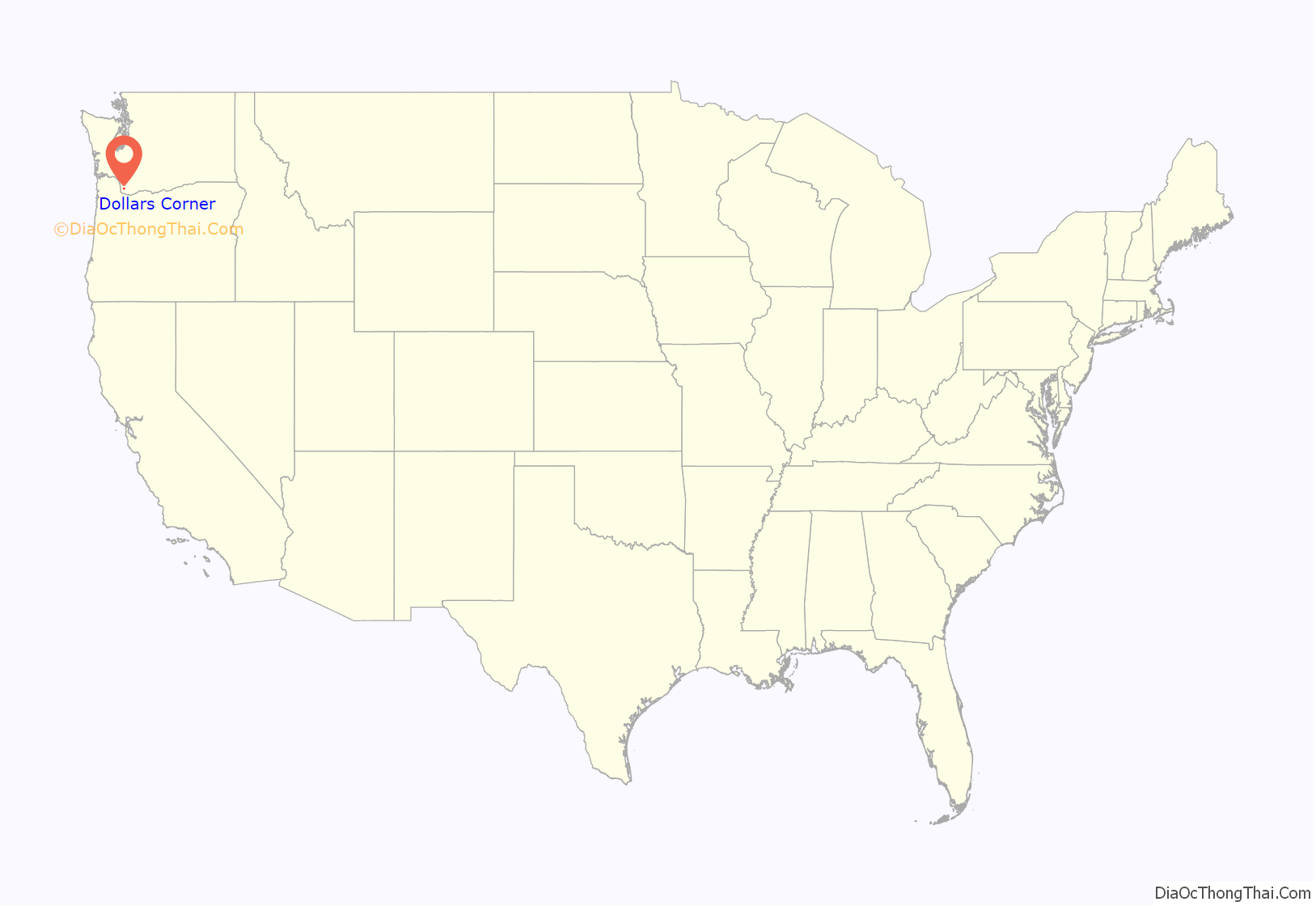
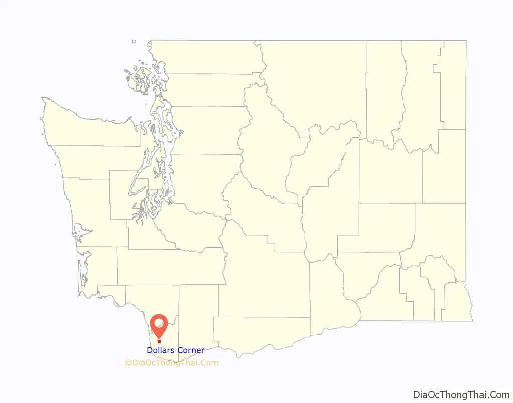
Dollars Corner location map. Where is Dollars Corner CDP?
History
In 1917, Mr. and Mrs. S. L. Dollar purchased a farm in what would later be named Dollars Corner. The couple reportedly exchanged $150 and two cows for the land. They opened a small store and service station on one corner in 1924, which became a local landmark. One story claims that the name was coined by local sheriff’s deputies, who would report to their superiors that they traveled “as far as Dollar’s Corner.”
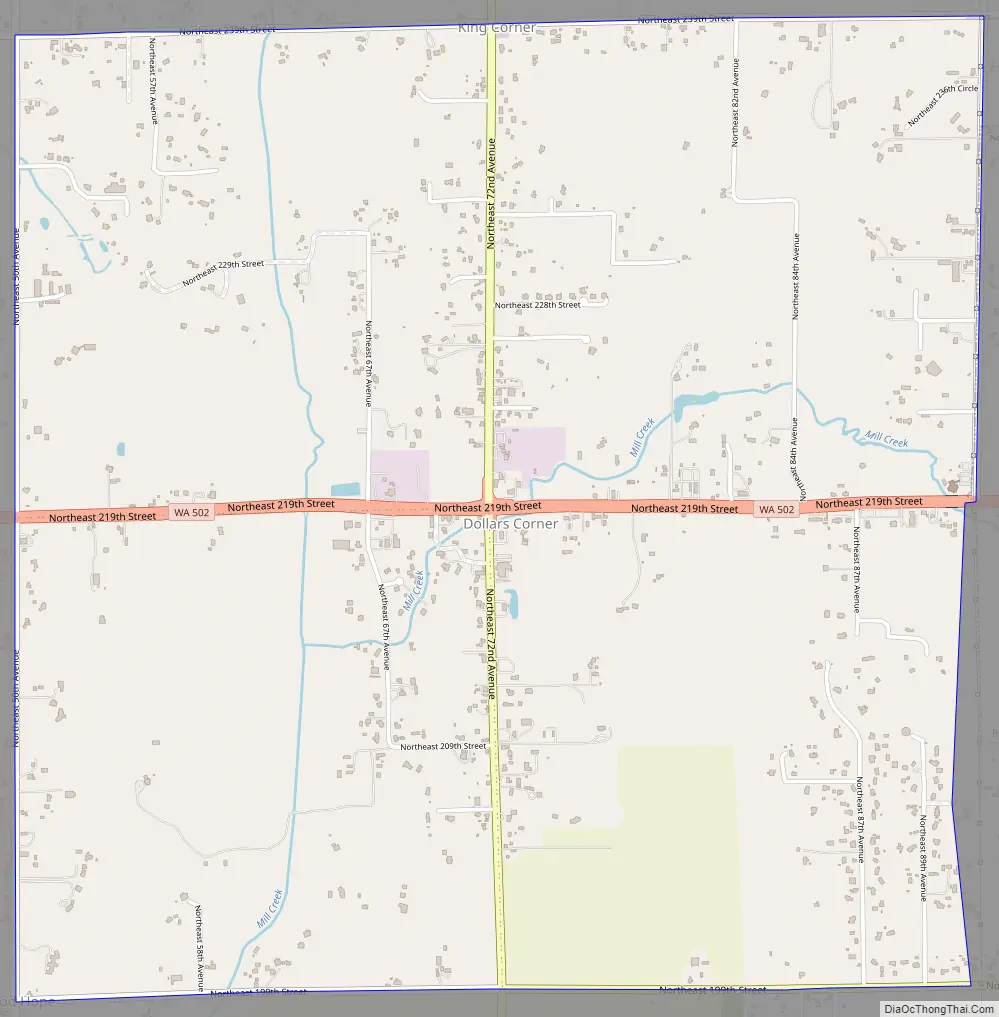
The landscape of Dollars Corner began to change drastically in 2012 as a result of the realignment of Washington State Route 502. Historical buildings situated directly on the corner were razed, with the exception of the former O’Brady’s Drive-In restaurant, which became the center of a protracted compensation dispute.
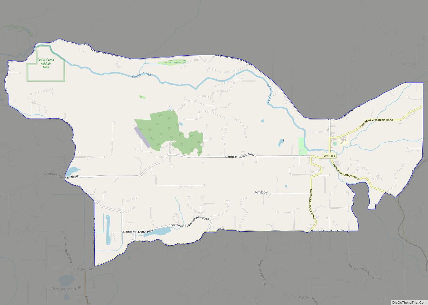
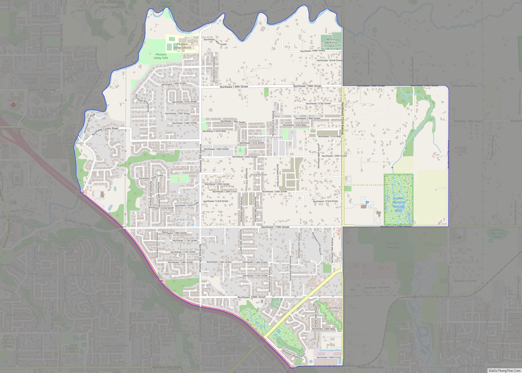
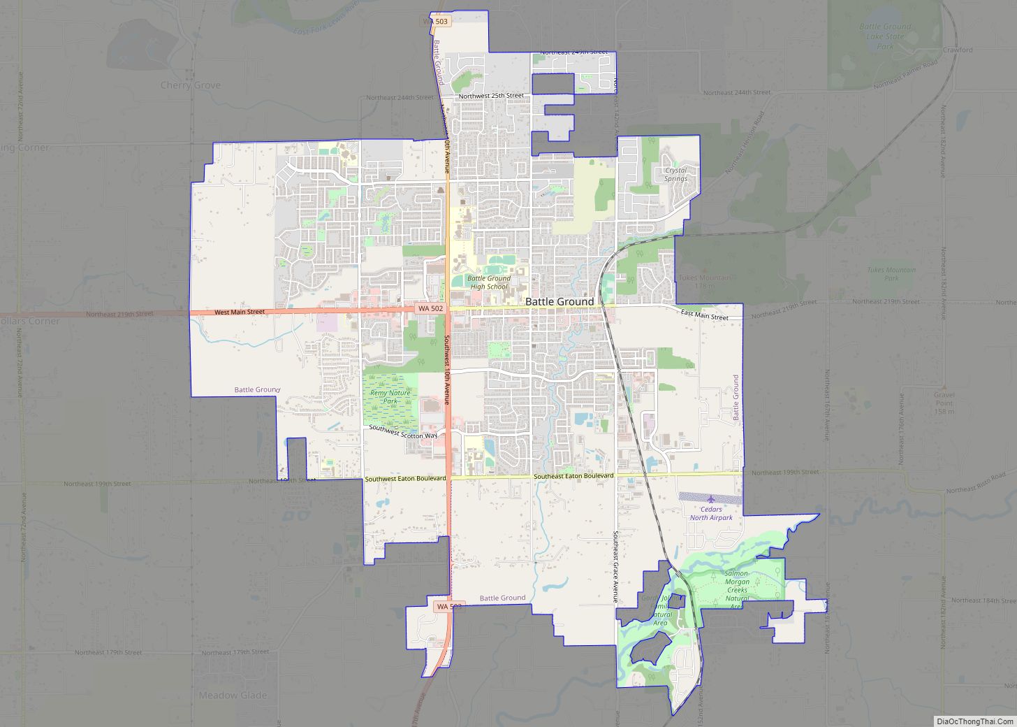
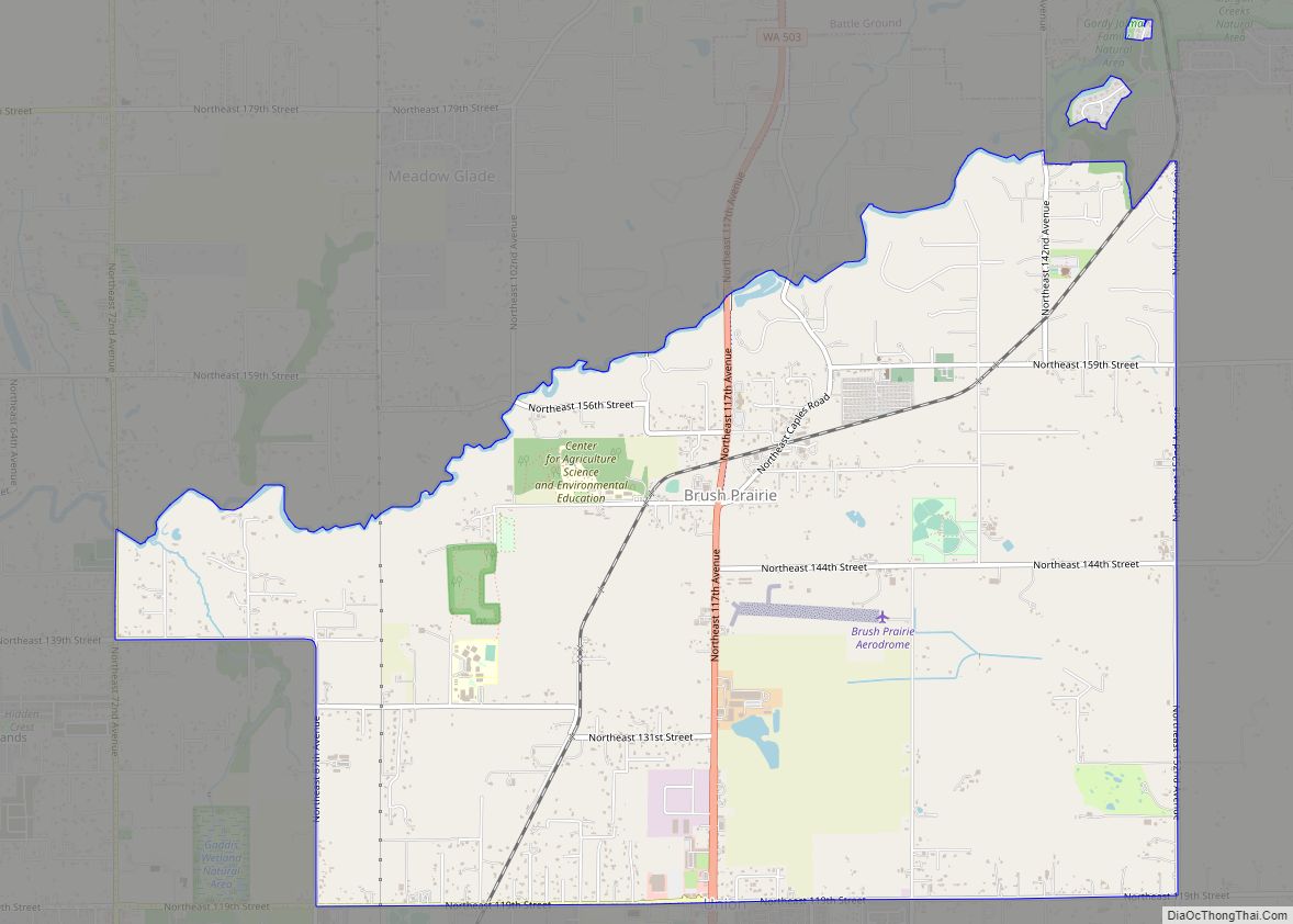
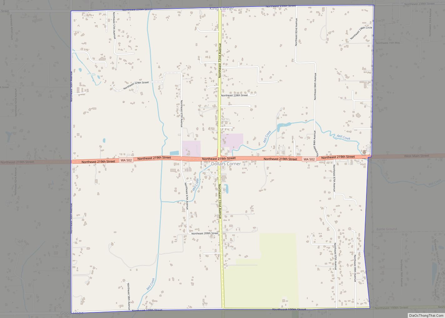
Dollars Corner Road Map
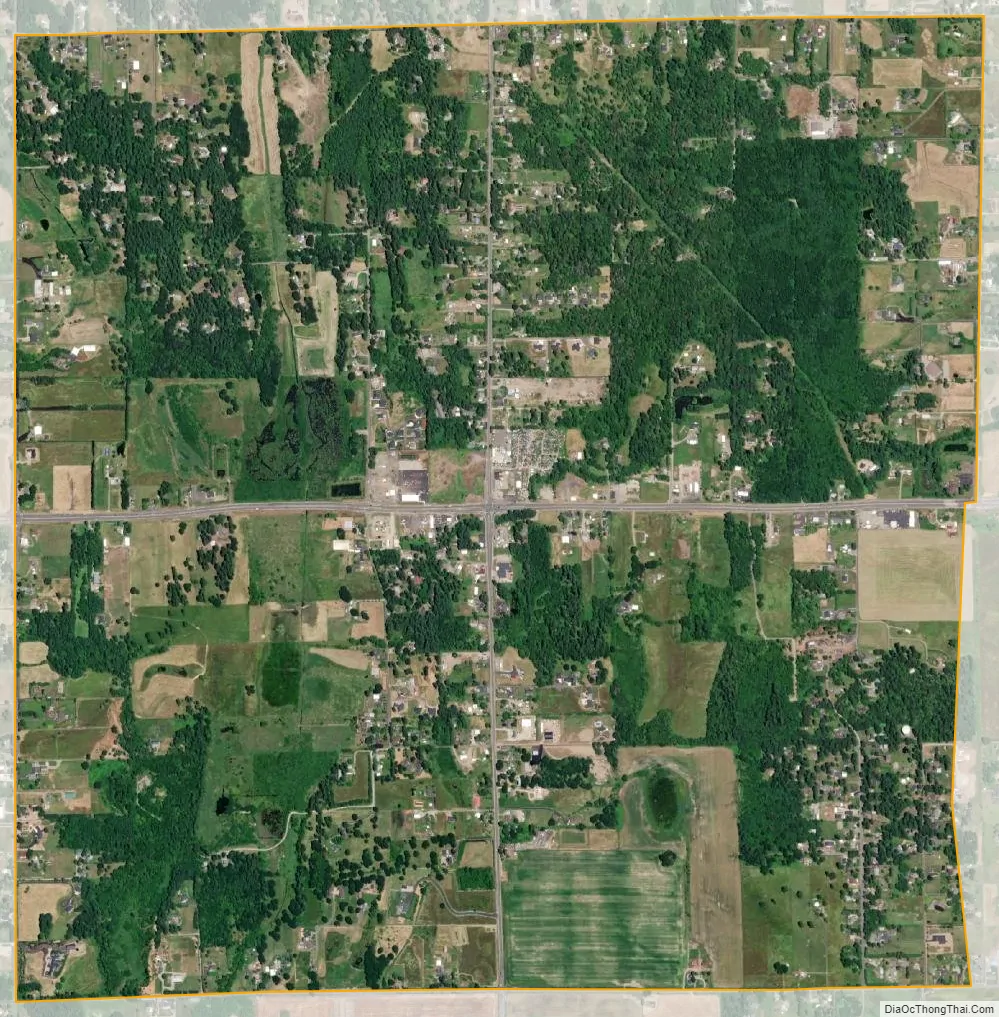
Dollars Corner city Satellite Map
Geography
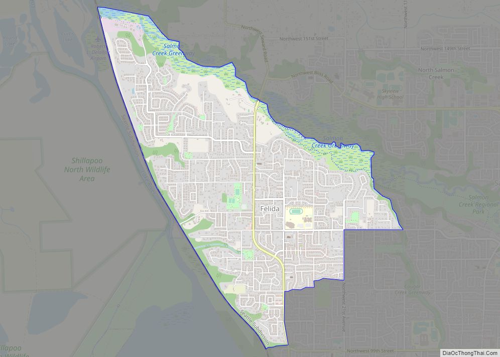
Dollars Corner is located in west-central Clark County at 45°46′44″N 122°35′26″W / 45.77889°N 122.59056°W / 45.77889; -122.59056 (45.778847, -122.590475). It is bordered to the northeast by Cherry Grove, to the east by the city of Battle Ground, to the southeast by Meadow Glade, and to the west by Duluth. Washington State Route 502 passes through the center of the community, leading east 3 miles (5 km) to the center of Battle Ground and west 3 miles (5 km) to Interstate 5’s Exit 11. Dollars Corner is located around 15 miles (24 km) northeast of Vancouver, Washington.
According to the United States Census Bureau, the Dollars Corner CDP has a total area of 3.9 square miles (10.2 km), all of it land.
See also
Map of Washington State and its subdivision:- Adams
- Asotin
- Benton
- Chelan
- Clallam
- Clark
- Columbia
- Cowlitz
- Douglas
- Ferry
- Franklin
- Garfield
- Grant
- Grays Harbor
- Island
- Jefferson
- King
- Kitsap
- Kittitas
- Klickitat
- Lewis
- Lincoln
- Mason
- Okanogan
- Pacific
- Pend Oreille
- Pierce
- San Juan
- Skagit
- Skamania
- Snohomish
- Spokane
- Stevens
- Thurston
- Wahkiakum
- Walla Walla
- Whatcom
- Whitman
- Yakima
- Alabama
- Alaska
- Arizona
- Arkansas
- California
- Colorado
- Connecticut
- Delaware
- District of Columbia
- Florida
- Georgia
- Hawaii
- Idaho
- Illinois
- Indiana
- Iowa
- Kansas
- Kentucky
- Louisiana
- Maine
- Maryland
- Massachusetts
- Michigan
- Minnesota
- Mississippi
- Missouri
- Montana
- Nebraska
- Nevada
- New Hampshire
- New Jersey
- New Mexico
- New York
- North Carolina
- North Dakota
- Ohio
- Oklahoma
- Oregon
- Pennsylvania
- Rhode Island
- South Carolina
- South Dakota
- Tennessee
- Texas
- Utah
- Vermont
- Virginia
- Washington
- West Virginia
- Wisconsin
- Wyoming