Manchester is an unincorporated community and census-designated place (CDP) in Kitsap County, Washington, United States. The population was 5,714 at the 2020 census. Manchester is located on the Puget Sound approximately 10 miles from downtown Seattle, and is adjacent to county seat Port Orchard to its east. Today, Manchester labels itself as a village. It is small in size but is home to a Kitsap Regional Library (KRL) branch, a post office, an elementary school, and a beachfront park to serve its residents.
| Name: | Manchester CDP |
|---|---|
| LSAD Code: | 57 |
| LSAD Description: | CDP (suffix) |
| State: | Washington |
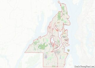
| County: | Kitsap County |
| Elevation: | 30 ft (9 m) |
| Total Area: | 5.65 sq mi (14.64 km²) |
| Land Area: | 2.93 sq mi (7.58 km²) |
| Water Area: | 2.73 sq mi (7.06 km²) |
| Total Population: | 5,413 |
| Population Density: | 1,851/sq mi (714.6/km²) |
| ZIP code: | 98353 |
| Area code: | 360 |
| FIPS code: | 5342450 |
| GNISfeature ID: | 1512426 |
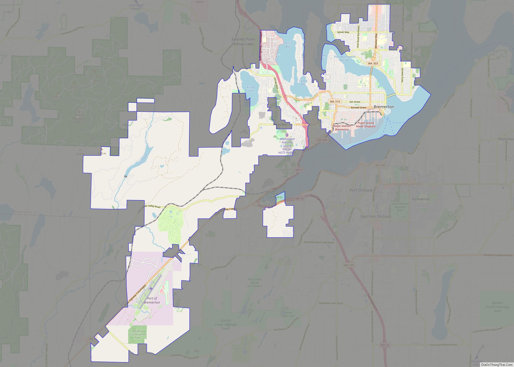
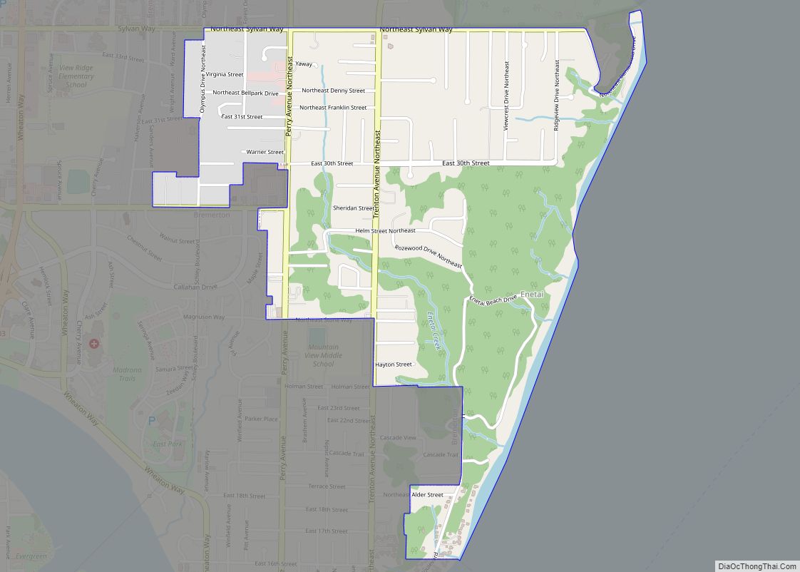
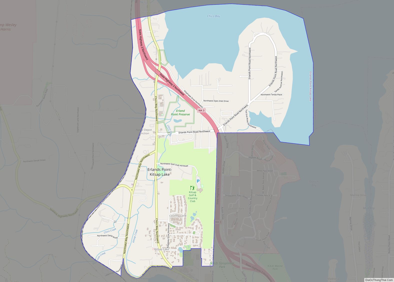
Online Interactive Map
Click on ![]() to view map in "full screen" mode.
to view map in "full screen" mode.
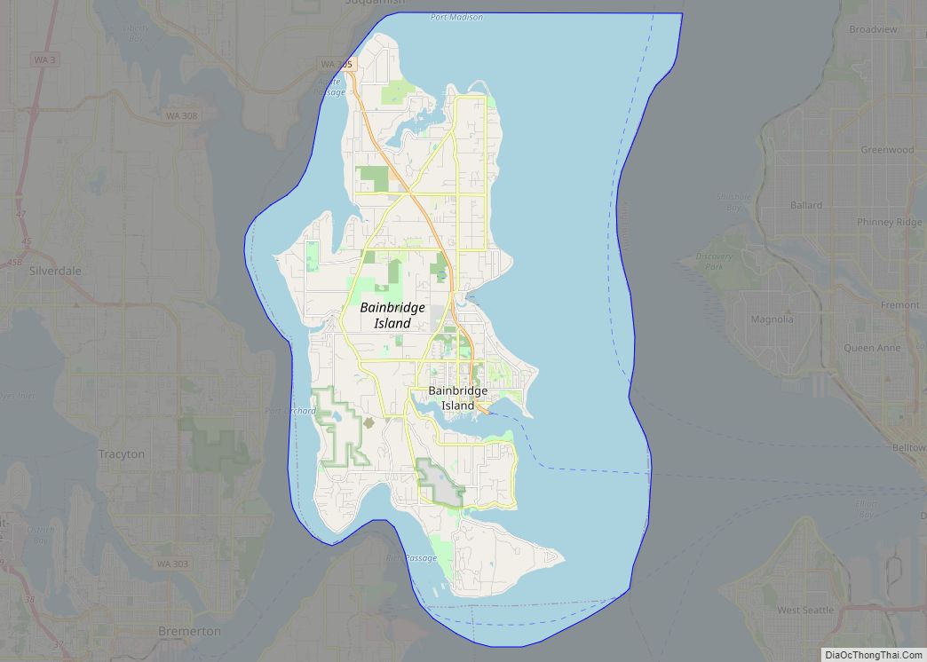
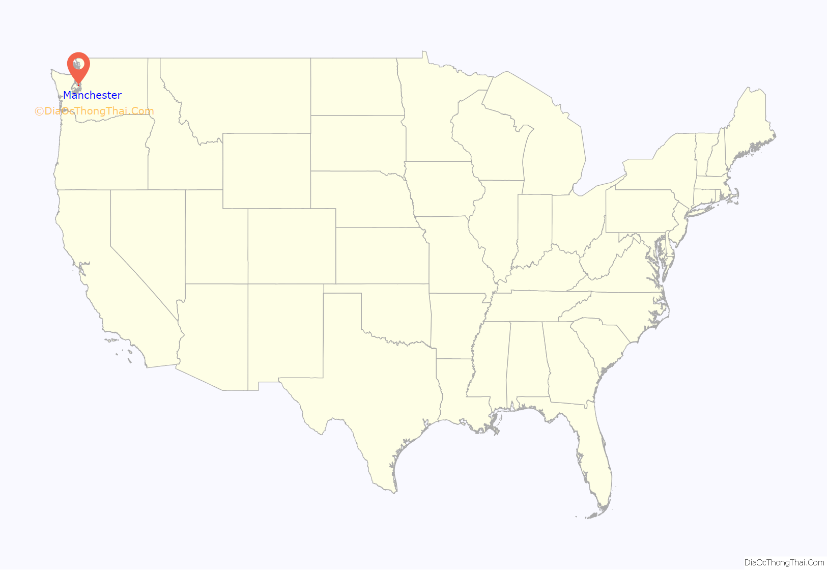
Manchester location map. Where is Manchester CDP?
History
Manchester was established in the 1860s and was originally known as “Brooklyn“, after the borough in New York City. The name was changed to “Manchester” in 1892 in honor of the city of Manchester, England. Manchester was accessible by land via Shelton/Allyn/Belfair, but the main population center in the region, Seattle, had only boat access. After a permanent dock was built in 1908, regular steamboat service connected Manchester to nearby communities like Colby, Southworth, and Harper, and to Seattle across the water.
From 1925 to 1936, a ferry route across Puget Sound connected Manchester with Alki Point in West Seattle. When the Alki Point dock washed away in 1936, the Seattle terminus was shifted to Colman Dock on the Seattle central waterfront. Ferry service was discontinued in 1949 and has never resumed.
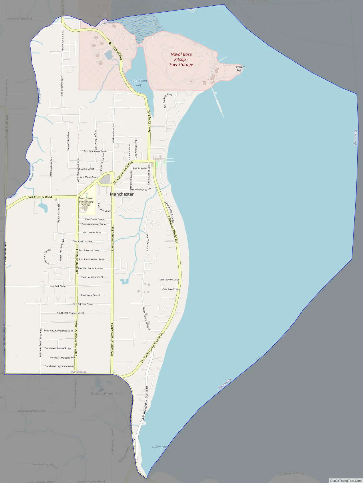
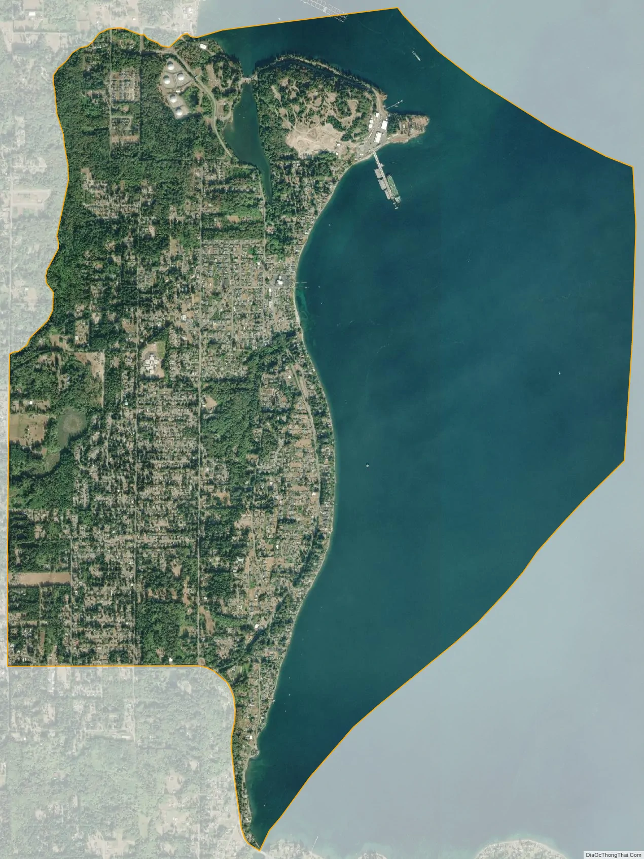
In its early years, Manchester was used as a military installation. As early as 1889, land in present-day Manchester was used by the U.S War Department as part of a Puget Sound defense system After World War I, the U.S. Navy acquired the property, and in 1940 built a pier in nearby Clam Bay for refueling ships. The Manchester Fuel Depot, currently the military’s largest single fuel station in the U.S, saw heavy use during World War II and still operates today. While the Navy still owns most of the original land, some of the property is now occupied by Manchester State Park as well as by Environmental Protection Agency and NOAA labs.
In 1953, the library in Manchester was slated for destruction. The town pulled together and a new library was constructed in 1954. Today, Manchester has excellent views of Seattle, Mount Rainier, and Puget Sound, has a public boat launch, a boat parade on the opening day of boating season, and sponsors salmon bakes at the Manchester library.
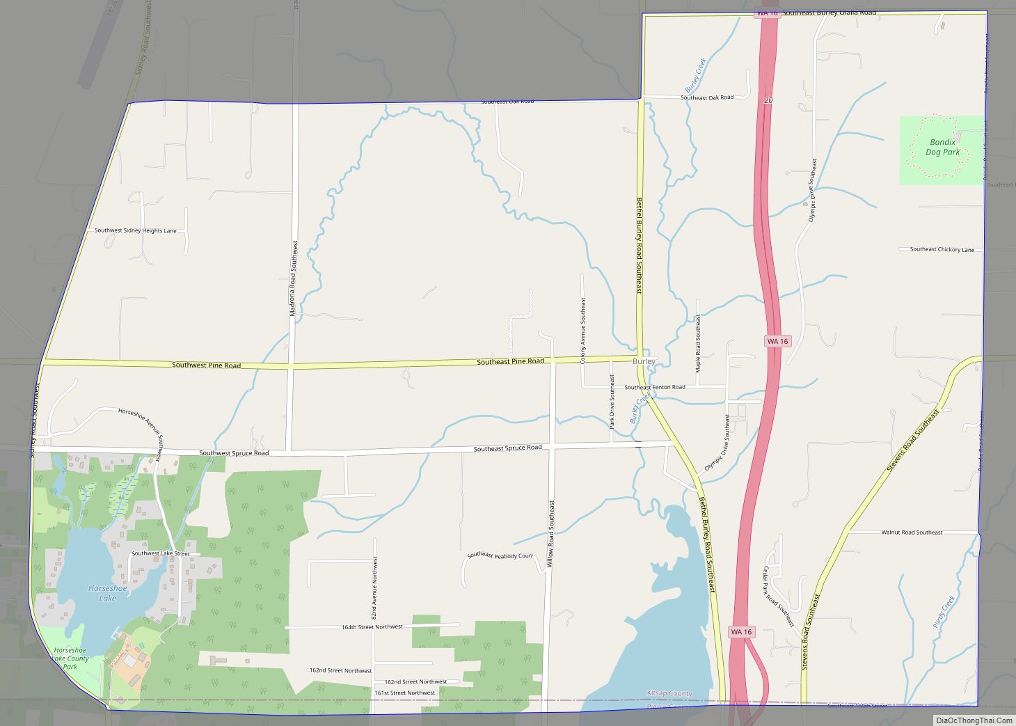
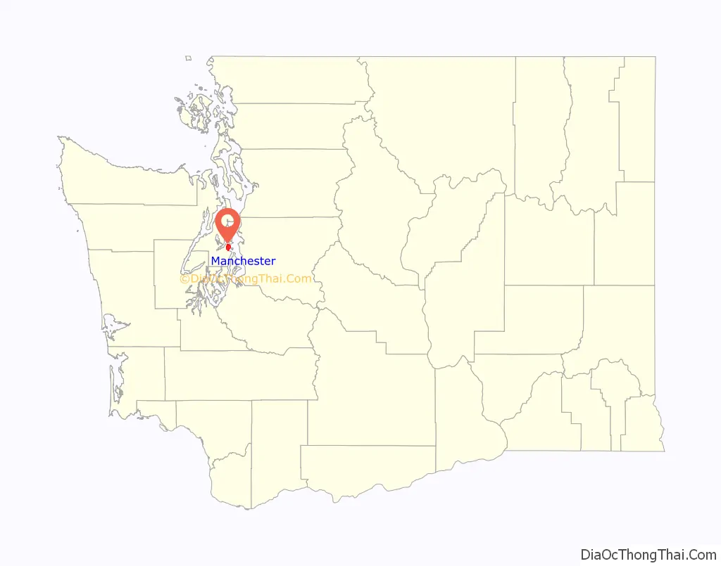
Manchester Road Map
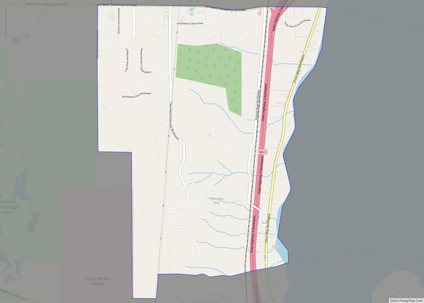
Manchester city Satellite Map
Geography
Manchester is located in southeastern Kitsap County at 47°33′08″N 122°33′00″W / 47.552305°N 122.549984°W / 47.552305; -122.549984 (47.552305, -122.549984). It is on the west side of Puget Sound from Rich Passage in the north to Yukon Harbor in the south. Manchester is 6 miles (10 km) east of Port Orchard, the Kitsap county seat. Manchester State Park is to the north, just outside the CDP area.
According to the United States Census Bureau, the Manchester CDP has a total area of 5.6 square miles (14.6 km), of which 2.9 square miles (7.6 km) are land and 2.7 square miles (7.1 km), or 48.25%, are water. Besides Manchester proper, the CDP contains the smaller communities of Colchester and Colby.
Climate
This region experiences warm (but not hot) and dry summers, with the highest average temperatures in late July and early August, at around 77 °F. According to the Köppen Climate Classification system, Manchester has a warm-summer Mediterranean climate, abbreviated “Csb” on climate maps. Manchester generally experiences both mild summers and winters, with average annual snowfall of around 3 inches. On average, each year there are 122 days with measurable rain totaling 41 inches.
See also
Map of Washington State and its subdivision:- Adams
- Asotin
- Benton
- Chelan
- Clallam
- Clark
- Columbia
- Cowlitz
- Douglas
- Ferry
- Franklin
- Garfield
- Grant
- Grays Harbor
- Island
- Jefferson
- King
- Kitsap
- Kittitas
- Klickitat
- Lewis
- Lincoln
- Mason
- Okanogan
- Pacific
- Pend Oreille
- Pierce
- San Juan
- Skagit
- Skamania
- Snohomish
- Spokane
- Stevens
- Thurston
- Wahkiakum
- Walla Walla
- Whatcom
- Whitman
- Yakima
- Alabama
- Alaska
- Arizona
- Arkansas
- California
- Colorado
- Connecticut
- Delaware
- District of Columbia
- Florida
- Georgia
- Hawaii
- Idaho
- Illinois
- Indiana
- Iowa
- Kansas
- Kentucky
- Louisiana
- Maine
- Maryland
- Massachusetts
- Michigan
- Minnesota
- Mississippi
- Missouri
- Montana
- Nebraska
- Nevada
- New Hampshire
- New Jersey
- New Mexico
- New York
- North Carolina
- North Dakota
- Ohio
- Oklahoma
- Oregon
- Pennsylvania
- Rhode Island
- South Carolina
- South Dakota
- Tennessee
- Texas
- Utah
- Vermont
- Virginia
- Washington
- West Virginia
- Wisconsin
- Wyoming