Maple Falls is a census-designated place (CDP) in Whatcom County, Washington, United States. The population was 324 at the 2010 census.
| Name: | Maple Falls CDP |
|---|---|
| LSAD Code: | 57 |
| LSAD Description: | CDP (suffix) |
| State: | Washington |
| County: | Whatcom County |
| Elevation: | 646 ft (197 m) |
| Total Area: | 3.0 sq mi (7.8 km²) |
| Land Area: | 3.0 sq mi (7.8 km²) |
| Water Area: | 0.0 sq mi (0.0 km²) |
| Total Population: | 159 |
| Population Density: | 63.6/sq mi (39.5/km²) |
| ZIP code: | 98266 |
| Area code: | 360 |
| FIPS code: | 5343010 |
| GNISfeature ID: | 1522693 |
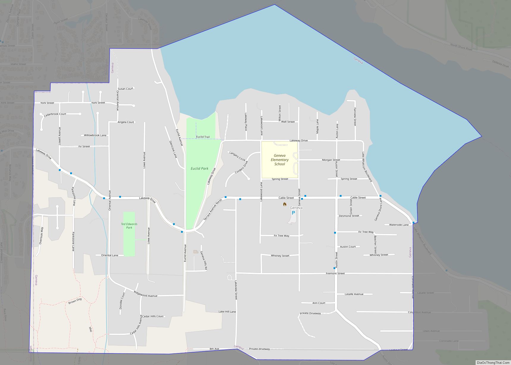
Online Interactive Map
Click on ![]() to view map in "full screen" mode.
to view map in "full screen" mode.
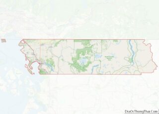
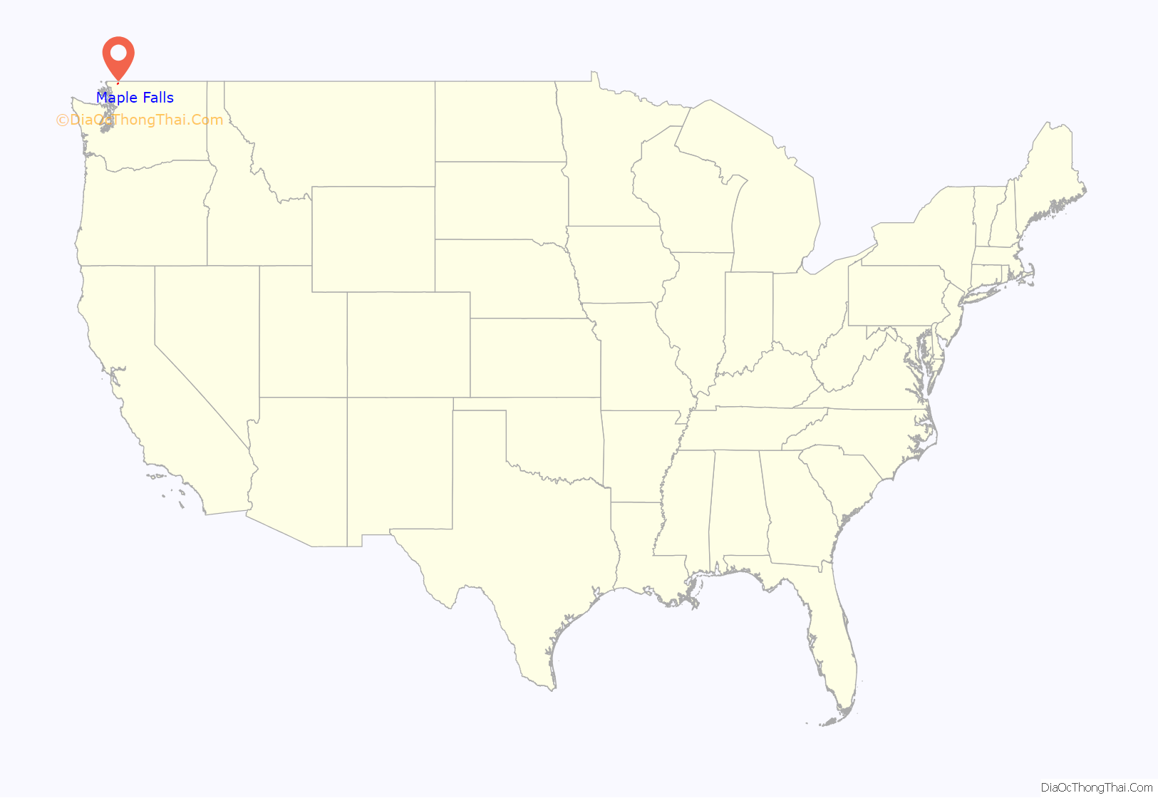
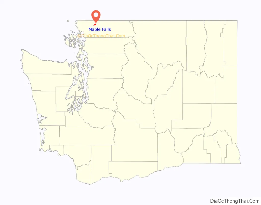
Maple Falls location map. Where is Maple Falls CDP?
History
Among the first settlers of Maple Falls was Herbert Everant Leavitt, a native of Melbourne, Quebec, Canada. After leaving Canada, Leavitt spent time in Truckee, California, where he worked as a carpenter before setting out for Columbia Township in Washington state. In 1888 Leavitt took up a homestead in Whatcom County where present-day Maple Falls is located. Leavitt packed his supplies in from Bellingham, Washington some 30 miles to his new farm. In subsequent years, besides farming, Leavitt operated a blacksmith shop at Maple Falls, was the proprietor of a Bellingham restaurant, and ran two hotels, in addition to serving as county constable for some 24 years.
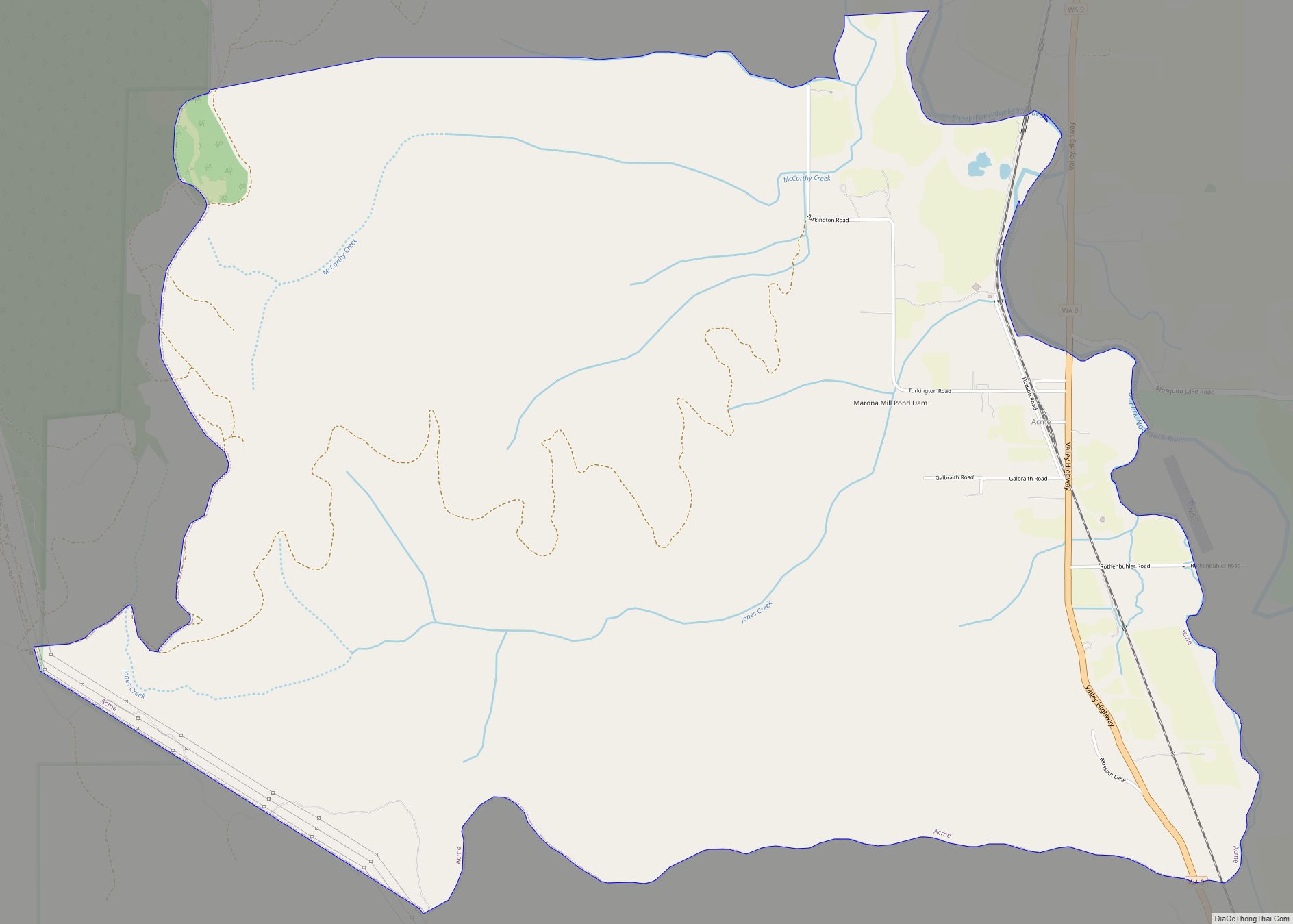
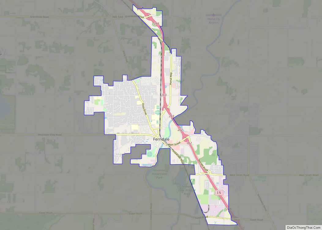
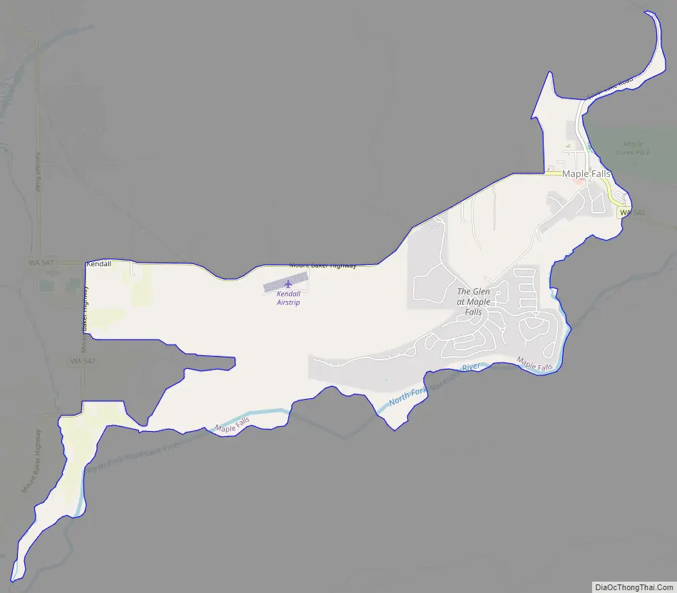
Maple Falls Road Map
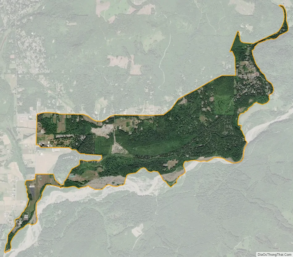
Maple Falls city Satellite Map
Geography
Maple Falls is located on the Mount Baker Highway, east of Bellingham, three miles east of a junction at Kendall, with State Route 547, which connects over a low pass on the northeast flank of Sumas Mountain to Sumas and the border crossing with Abbotsford, British Columbia.
According to the United States Census Bureau, the CDP has a total area of 3.0 square miles (7.8 km), all of it land.
Climate
The climate in this area has mild differences between highs and lows, and there is adequate rainfall year-round. According to the Köppen Climate Classification system, Maple Falls has a marine west coast climate, abbreviated “Cfb” on climate maps.
See also
Map of Washington State and its subdivision:- Adams
- Asotin
- Benton
- Chelan
- Clallam
- Clark
- Columbia
- Cowlitz
- Douglas
- Ferry
- Franklin
- Garfield
- Grant
- Grays Harbor
- Island
- Jefferson
- King
- Kitsap
- Kittitas
- Klickitat
- Lewis
- Lincoln
- Mason
- Okanogan
- Pacific
- Pend Oreille
- Pierce
- San Juan
- Skagit
- Skamania
- Snohomish
- Spokane
- Stevens
- Thurston
- Wahkiakum
- Walla Walla
- Whatcom
- Whitman
- Yakima
- Alabama
- Alaska
- Arizona
- Arkansas
- California
- Colorado
- Connecticut
- Delaware
- District of Columbia
- Florida
- Georgia
- Hawaii
- Idaho
- Illinois
- Indiana
- Iowa
- Kansas
- Kentucky
- Louisiana
- Maine
- Maryland
- Massachusetts
- Michigan
- Minnesota
- Mississippi
- Missouri
- Montana
- Nebraska
- Nevada
- New Hampshire
- New Jersey
- New Mexico
- New York
- North Carolina
- North Dakota
- Ohio
- Oklahoma
- Oregon
- Pennsylvania
- Rhode Island
- South Carolina
- South Dakota
- Tennessee
- Texas
- Utah
- Vermont
- Virginia
- Washington
- West Virginia
- Wisconsin
- Wyoming