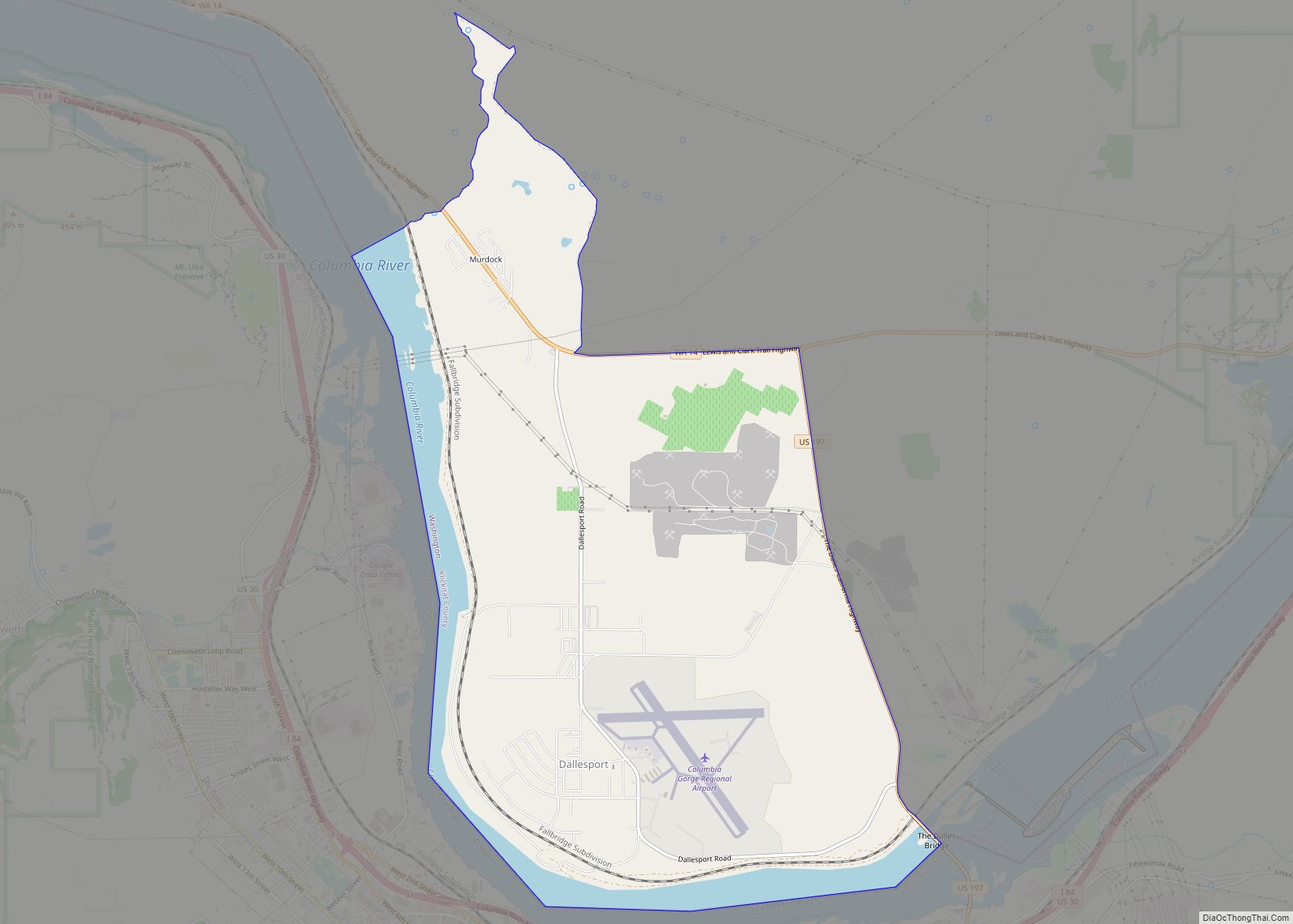
Maryhill is an unincorporated community and census-designated place (CDP) in Klickitat County, Washington, United States. The population was 58 at the 2010 census, down from 98 at the 2000 census.
| Name: | Maryhill CDP |
|---|---|
| LSAD Code: | 57 |
| LSAD Description: | CDP (suffix) |
| State: | Washington |
| County: | Klickitat County |
| Elevation: | 187 ft (57 m) |
| Total Area: | 2.8 sq mi (7.3 km²) |
| Land Area: | 2.8 sq mi (7.3 km²) |
| Water Area: | 0.0 sq mi (0.0 km²) |
| Total Population: | 58 |
| Population Density: | 20.6/sq mi (7.95/km²) |
| ZIP code: | 98620 |
| Area code: | 509 |
| FIPS code: | 5343885 |
| GNISfeature ID: | 1522785 |
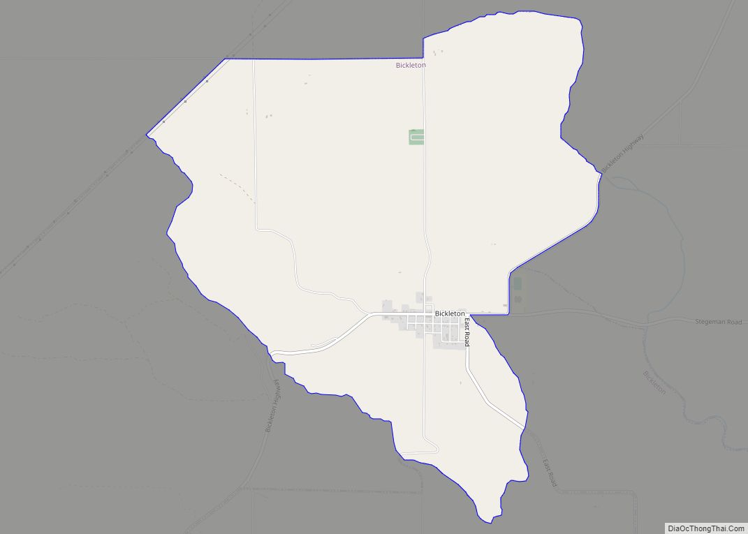
Online Interactive Map
Click on ![]() to view map in "full screen" mode.
to view map in "full screen" mode.
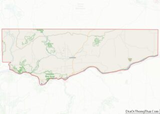
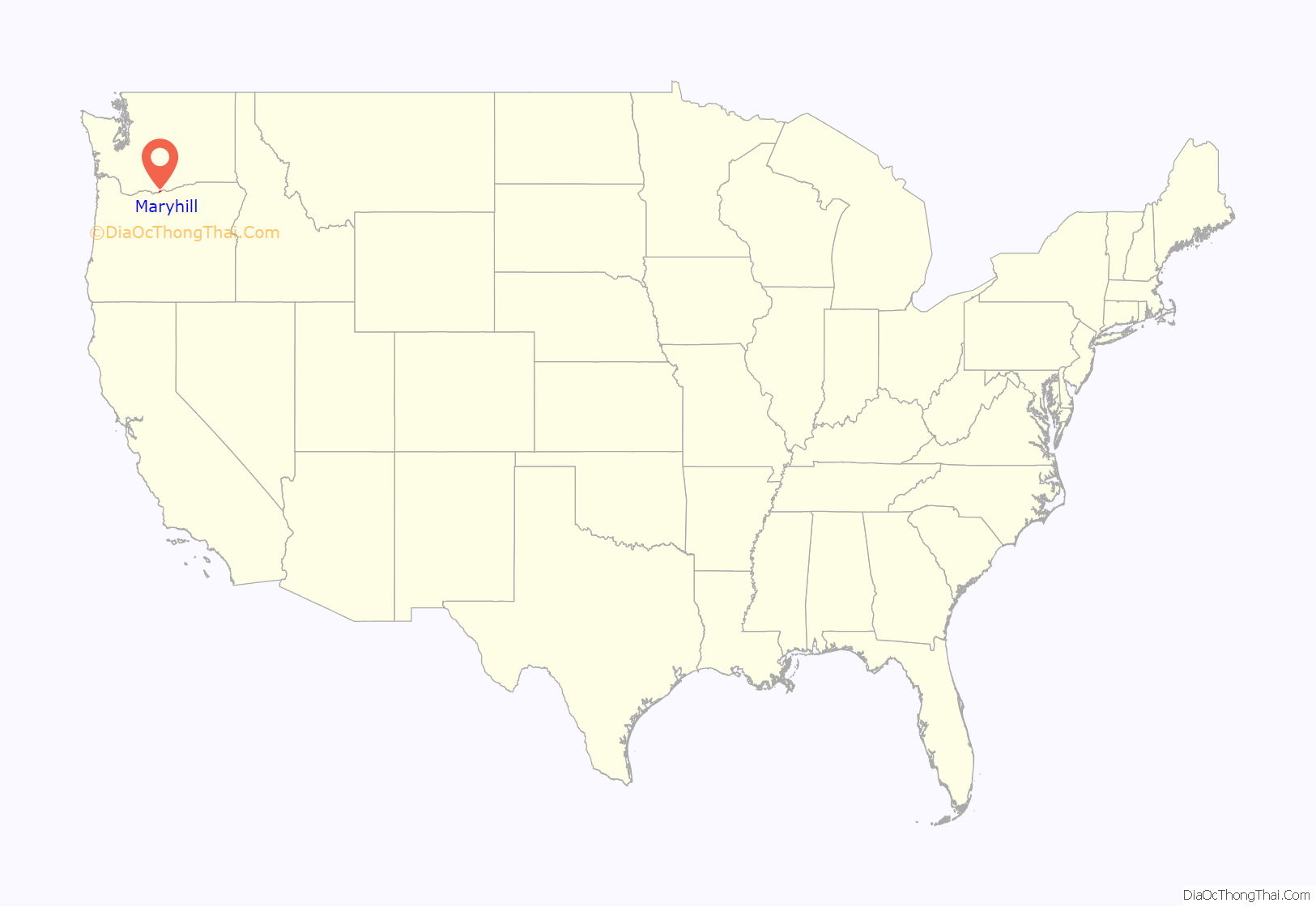
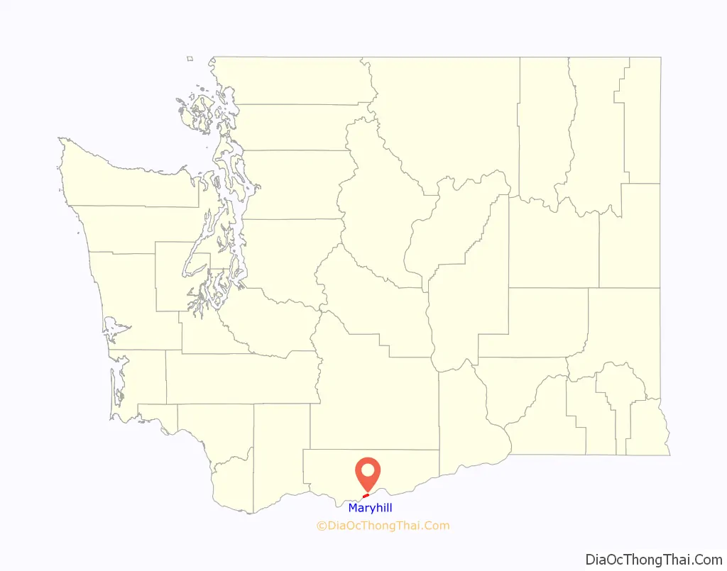
Maryhill location map. Where is Maryhill CDP?
History
Maryhill is named after the wife and daughter of regional icon Sam Hill, who purchased land and envisioned a community there shortly after the turn of the 20th century. Earlier the area was known as “Columbia” or “Columbus”. In 1909, the Klickitat County commissioners had accepted the town’s name as “Maryland” – proposed by Sam Hill and Associates who had laid out the town. However, this name was rejected by postal authorities as they would not accept a name corresponding to a state, so it was renamed “Maryhill”.
Hill used his Maryhill property to build the first paved roads in the Pacific Northwest, the Maryhill Museum of Art (originally intended as a grand residence for the Hills), Maryhill Stonehenge, a monument to the World War I casualties of Klickitat County in the form of a Stonehenge replica, and a planned community. Born a Quaker, Hill hoped to attract a Quaker community to eastern Washington. His plans never materialized and the town buildings he constructed burned down several years later.
Hill intended the Stonehenge replica to express that modern warfare was a form of needless human sacrifice, referencing the contemporary belief that Stonehenge was a sacrificial site.
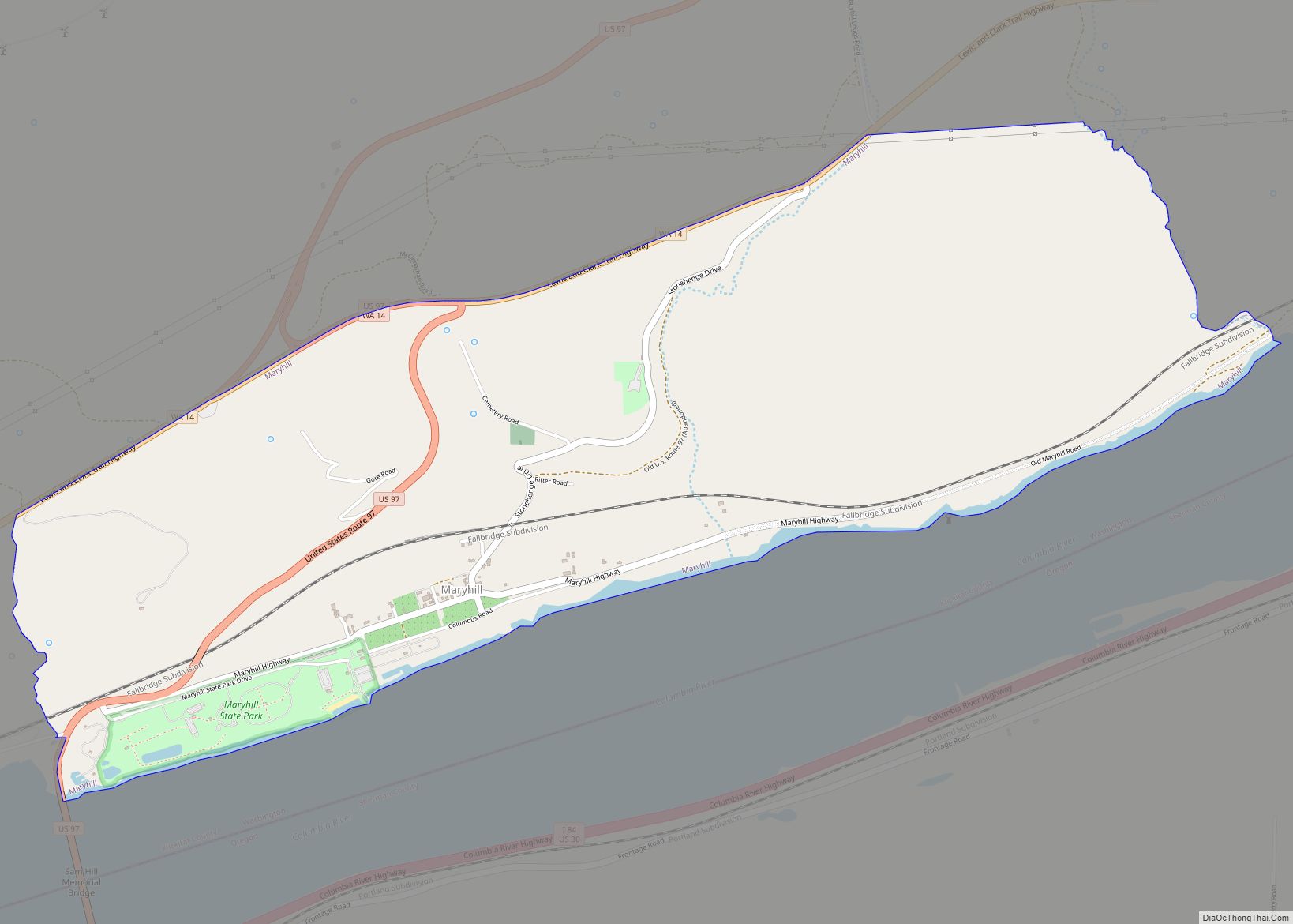
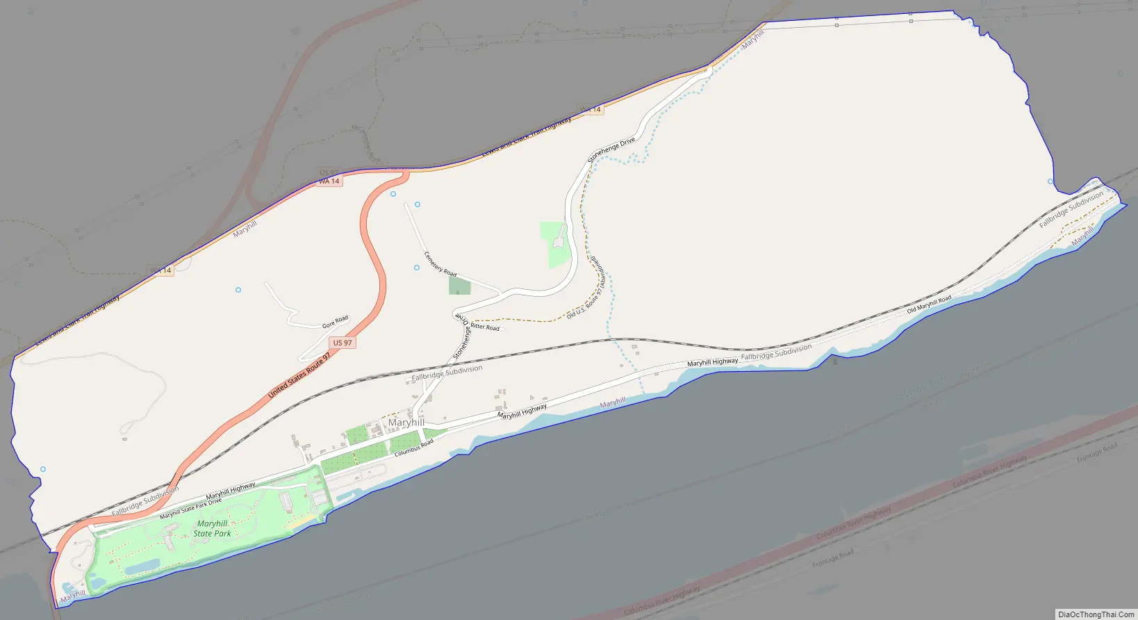
Maryhill Road Map
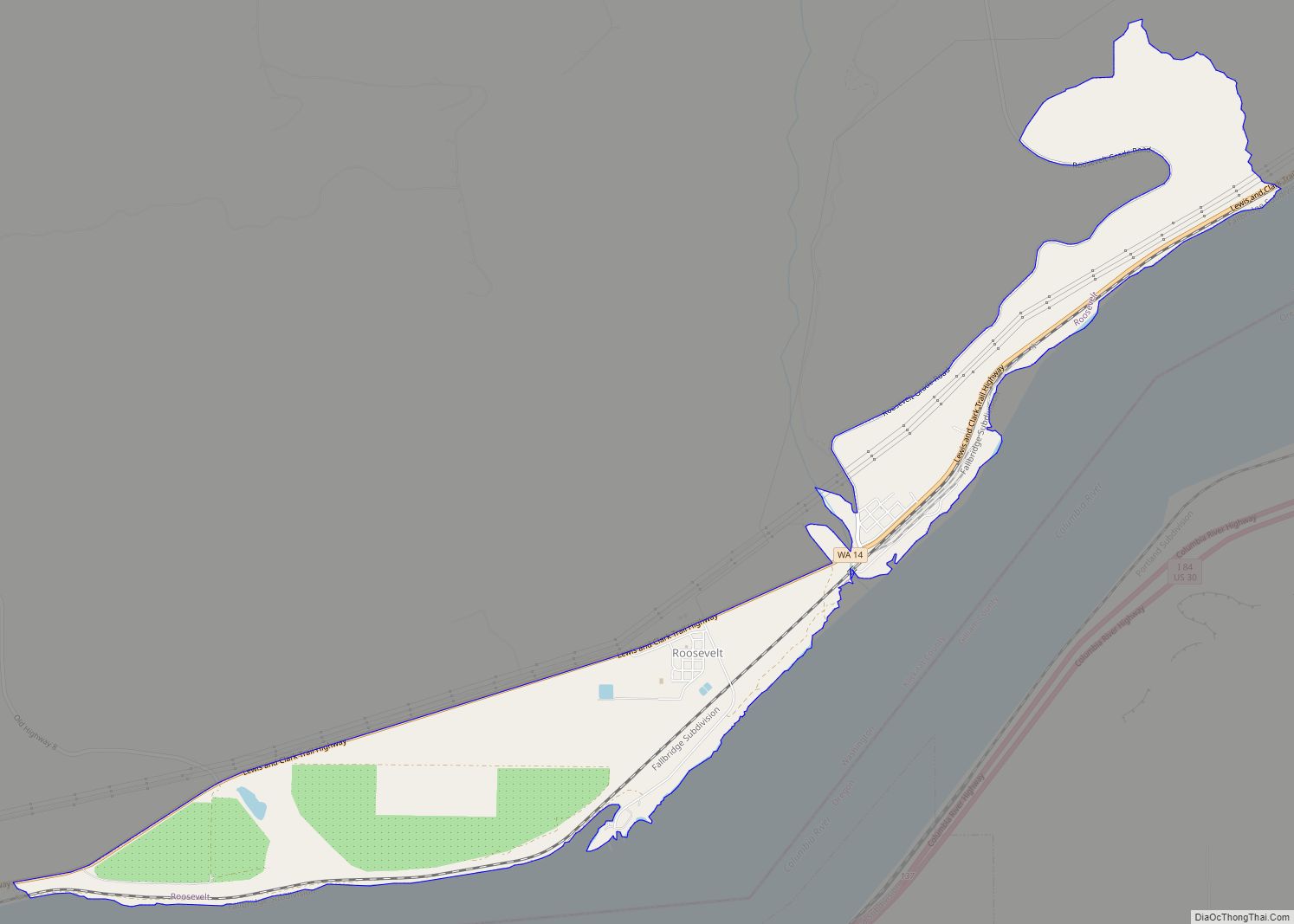
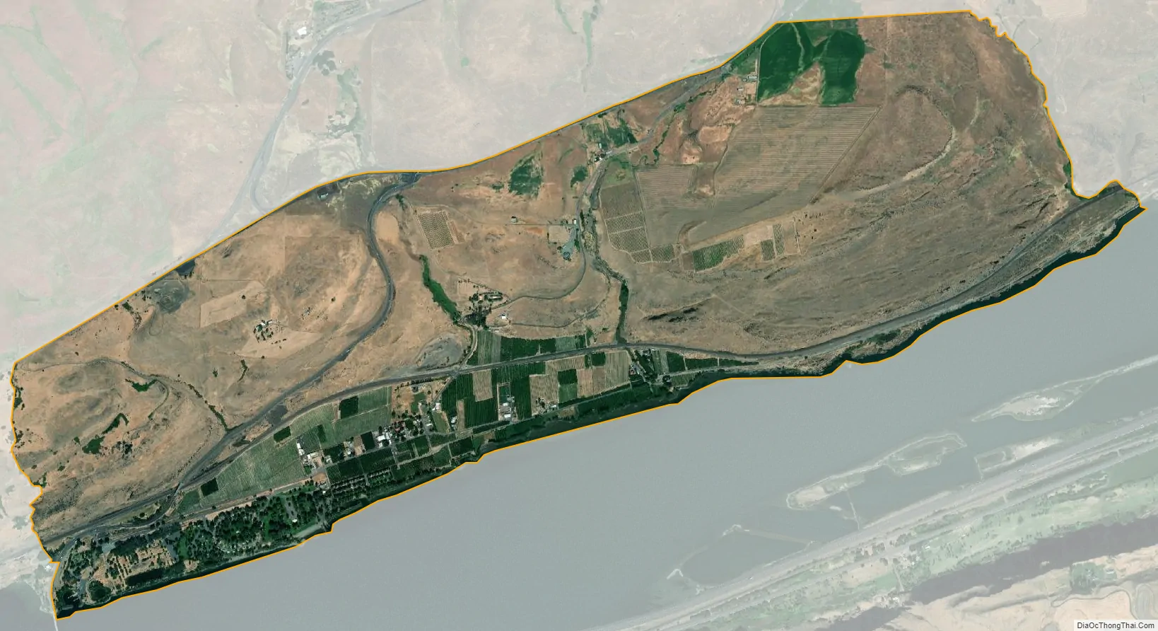
Maryhill city Satellite Map
Geography
Maryhill is located along the southern edge of Klickitat County and the state of Washington at 45°41′8″N 120°49′2″W / 45.68556°N 120.81722°W / 45.68556; -120.81722 (45.685649, -120.817232). It sits on the north bank of the Columbia River, 209 miles (336 km) by river upstream from its mouth at Astoria, 103 miles (166 km) upstream from Portland, and 17 miles (27 km) upstream from The Dalles Dam.
U.S. Route 97 (US 97) crosses the Columbia at Maryhill via the Sam Hill Memorial Bridge. US 97 travels north towards Goldendale and south across the river to Wasco, Oregon. State Route 14 travels east–west through the area along the Columbia River, connecting Maryhill to White Salmon and Interstate 82 at Plymouth.
According to the United States Census Bureau, the Maryhill CDP has a total area of 2.8 square miles (7.3 km), all land. The community is home to Maryhill State Park along the Columbia.
See also
Map of Washington State and its subdivision:- Adams
- Asotin
- Benton
- Chelan
- Clallam
- Clark
- Columbia
- Cowlitz
- Douglas
- Ferry
- Franklin
- Garfield
- Grant
- Grays Harbor
- Island
- Jefferson
- King
- Kitsap
- Kittitas
- Klickitat
- Lewis
- Lincoln
- Mason
- Okanogan
- Pacific
- Pend Oreille
- Pierce
- San Juan
- Skagit
- Skamania
- Snohomish
- Spokane
- Stevens
- Thurston
- Wahkiakum
- Walla Walla
- Whatcom
- Whitman
- Yakima
- Alabama
- Alaska
- Arizona
- Arkansas
- California
- Colorado
- Connecticut
- Delaware
- District of Columbia
- Florida
- Georgia
- Hawaii
- Idaho
- Illinois
- Indiana
- Iowa
- Kansas
- Kentucky
- Louisiana
- Maine
- Maryland
- Massachusetts
- Michigan
- Minnesota
- Mississippi
- Missouri
- Montana
- Nebraska
- Nevada
- New Hampshire
- New Jersey
- New Mexico
- New York
- North Carolina
- North Dakota
- Ohio
- Oklahoma
- Oregon
- Pennsylvania
- Rhode Island
- South Carolina
- South Dakota
- Tennessee
- Texas
- Utah
- Vermont
- Virginia
- Washington
- West Virginia
- Wisconsin
- Wyoming