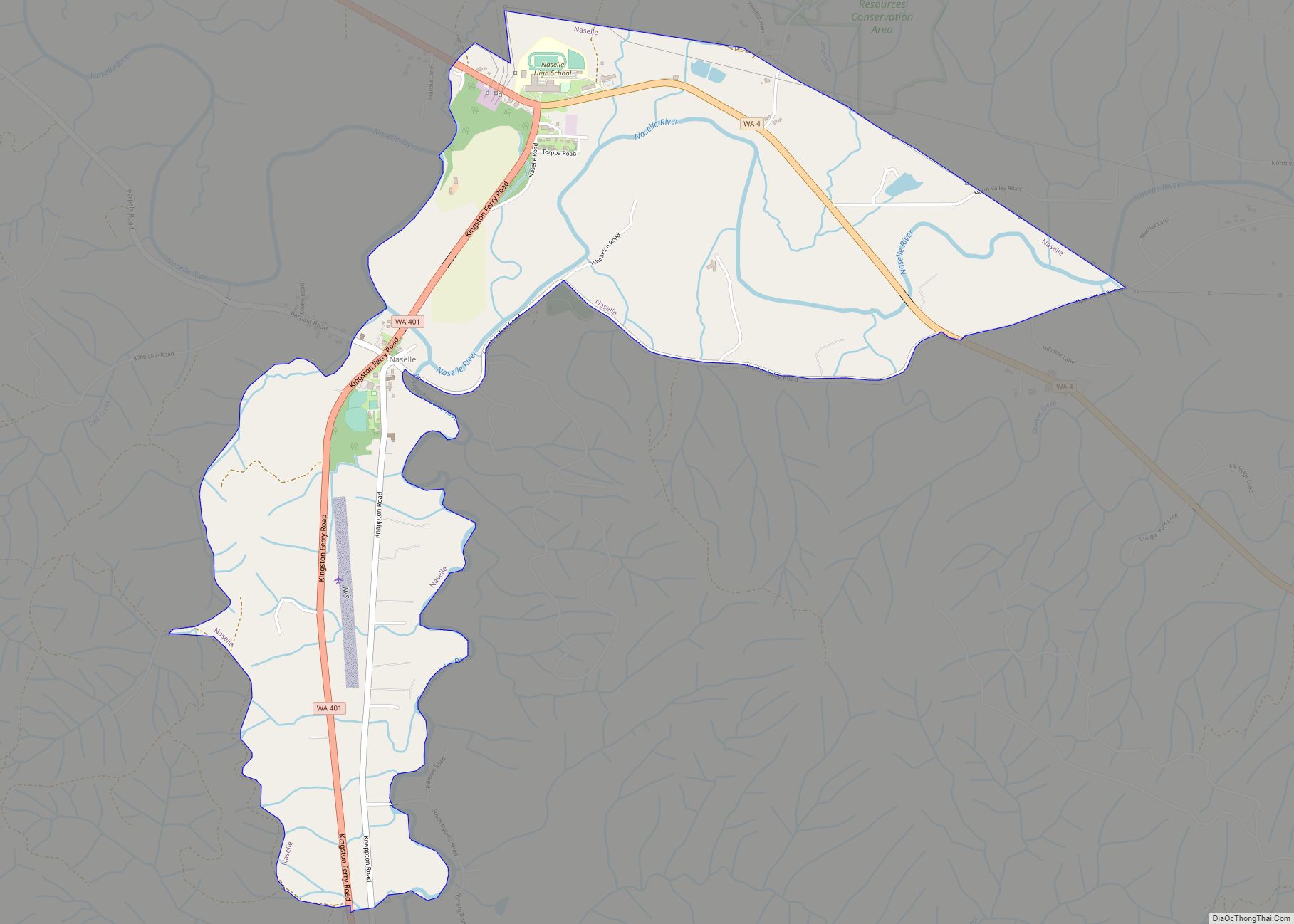
Naselle is a census-designated place (CDP) in Pacific County, Washington, United States located about 23 miles (37 km) from the mouth of the Columbia River. The population was 419 at the 2010 census. The valley’s Naselle River flows west into nearby Willapa Bay and then into the Pacific Ocean. Close about the town lie the evergreen-covered Willapa Hills. The river’s name has been spelled Nasel and Nasal. An early settler along the river called it the Kenebec. The name comes from the Nisal Indians, a Chinookan tribe formerly residing on the river.
| Name: | Naselle CDP |
|---|---|
| LSAD Code: | 57 |
| LSAD Description: | CDP (suffix) |
| State: | Washington |
| County: | Pacific County |
| Elevation: | 33 ft (10 m) |
| Total Area: | 2.3 sq mi (5.9 km²) |
| Land Area: | 2.3 sq mi (5.9 km²) |
| Water Area: | 0.0 sq mi (0.0 km²) |
| Total Population: | 419 |
| Population Density: | 164.6/sq mi (63.6/km²) |
| ZIP code: | 98638 |
| Area code: | 360 |
| FIPS code: | 5348015 |
| GNISfeature ID: | 1512495 |
Online Interactive Map
Click on ![]() to view map in "full screen" mode.
to view map in "full screen" mode.
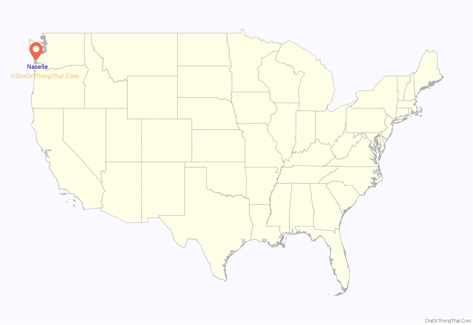
Naselle location map. Where is Naselle CDP?
History
The community first flourished as a logging town, and logging remains the dominant private industry. Settled primarily by Finnish and Scandinavian immigrants, the community has maintained this cultural heritage despite a declining percentage of traditional family names. Since 1982, Naselle has hosted a “Finnish-American Folk Festival” every other year, and in 2006 co-hosted, with the nearby city of Astoria, Oregon, the national festival FinnFest USA.
Naselle Road Map
Naselle city Satellite Map
See also
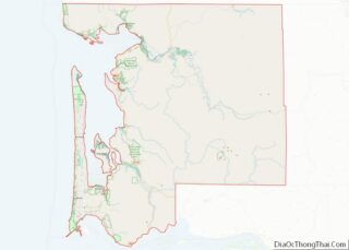
Map of Washington State and its subdivision:- Adams
- Asotin
- Benton
- Chelan
- Clallam
- Clark
- Columbia
- Cowlitz
- Douglas
- Ferry
- Franklin
- Garfield
- Grant
- Grays Harbor
- Island
- Jefferson
- King
- Kitsap
- Kittitas
- Klickitat
- Lewis
- Lincoln
- Mason
- Okanogan
- Pacific
- Pend Oreille
- Pierce
- San Juan
- Skagit
- Skamania
- Snohomish
- Spokane
- Stevens
- Thurston
- Wahkiakum
- Walla Walla
- Whatcom
- Whitman
- Yakima
- Alabama
- Alaska
- Arizona
- Arkansas
- California
- Colorado
- Connecticut
- Delaware
- District of Columbia
- Florida
- Georgia
- Hawaii
- Idaho
- Illinois
- Indiana
- Iowa
- Kansas
- Kentucky
- Louisiana
- Maine
- Maryland
- Massachusetts
- Michigan
- Minnesota
- Mississippi
- Missouri
- Montana
- Nebraska
- Nevada
- New Hampshire
- New Jersey
- New Mexico
- New York
- North Carolina
- North Dakota
- Ohio
- Oklahoma
- Oregon
- Pennsylvania
- Rhode Island
- South Carolina
- South Dakota
- Tennessee
- Texas
- Utah
- Vermont
- Virginia
- Washington
- West Virginia
- Wisconsin
- Wyoming
