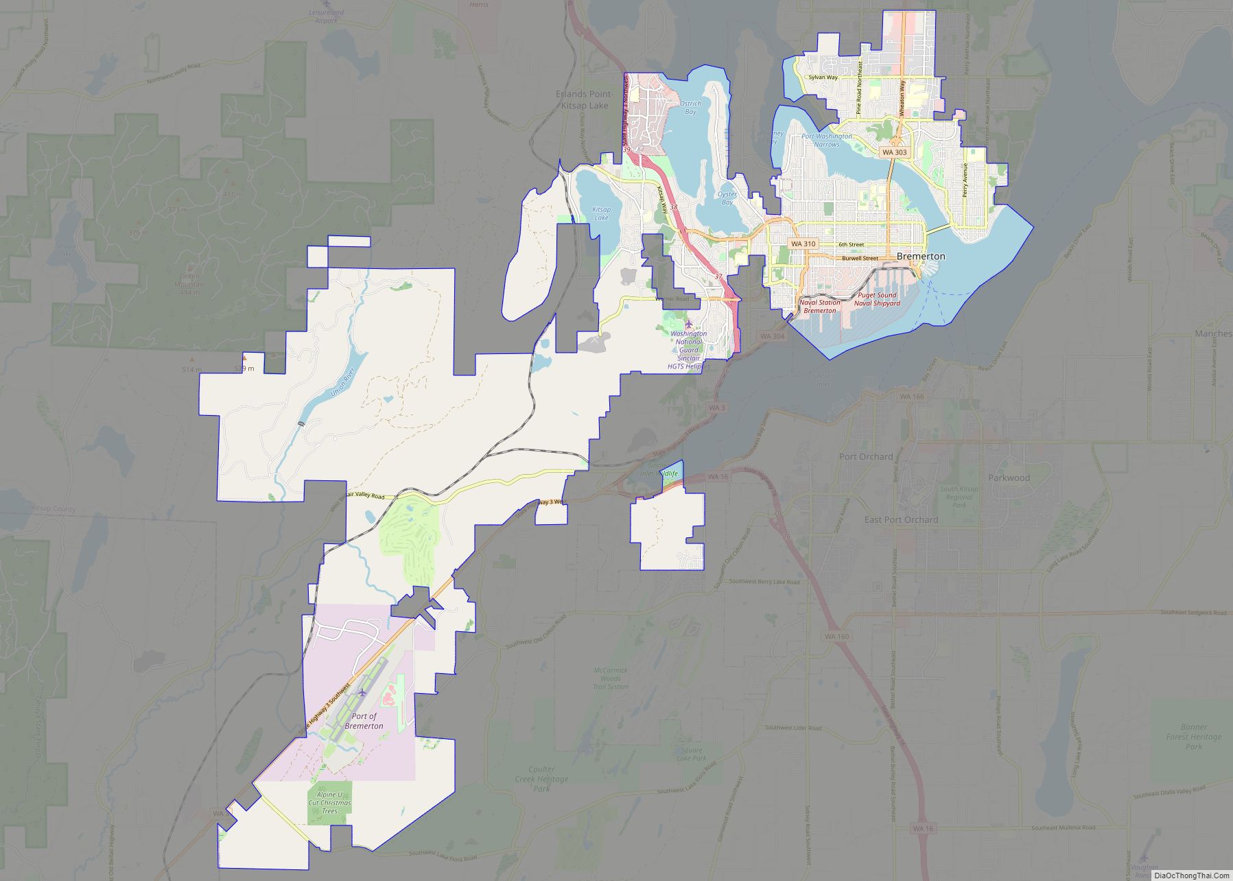
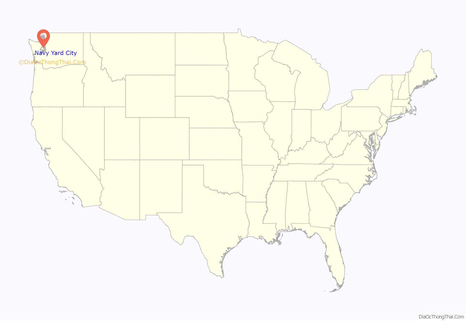
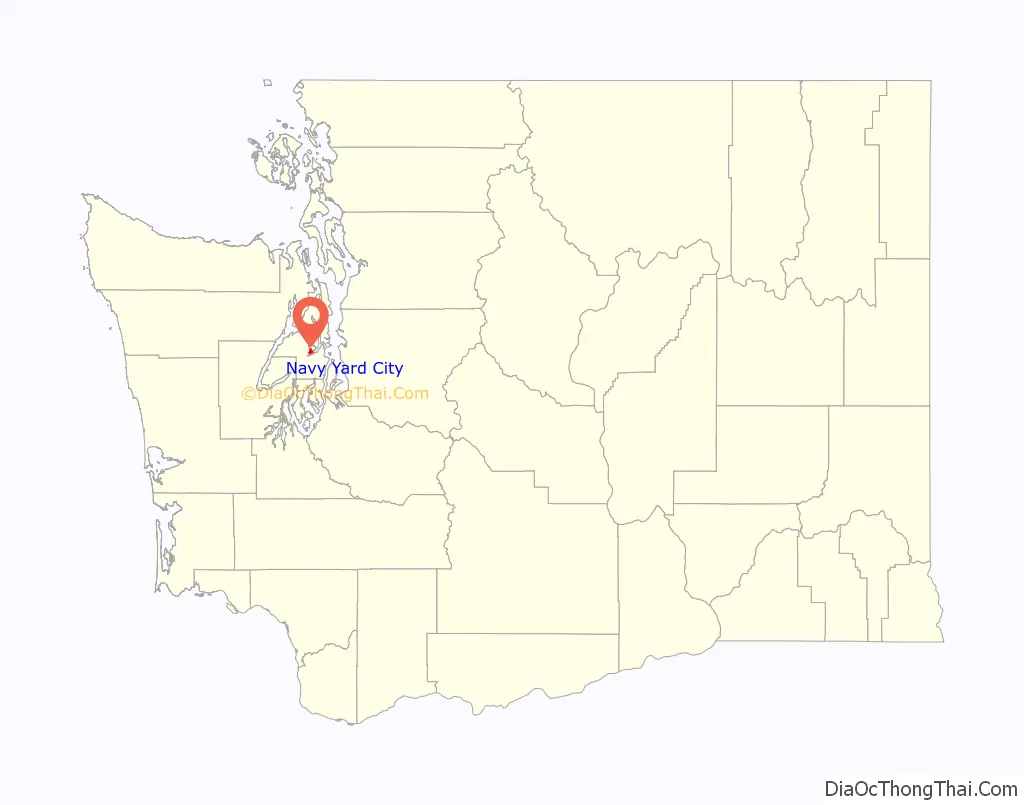
Navy Yard City is a census-designated place (CDP) in Kitsap County, Washington, United States. The population was 2,477 at the 2010 census.
| Name: | Navy Yard City CDP |
|---|---|
| LSAD Code: | 57 |
| LSAD Description: | CDP (suffix) |
| State: | Washington |
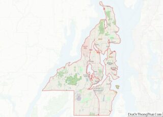
| County: | Kitsap County |
| Elevation: | 115 ft (35 m) |
| Total Area: | 1.0 sq mi (2.7 km²) |
| Land Area: | 0.6 sq mi (1.6 km²) |
| Water Area: | 0.4 sq mi (1.1 km²) |
| Total Population: | 2,477 |
| Population Density: | 4,018/sq mi (1,551.2/km²) |
| ZIP code: | 98312 |
| Area code: | 360 |
| FIPS code: | 5348225 |
| GNISfeature ID: | 1512496 |
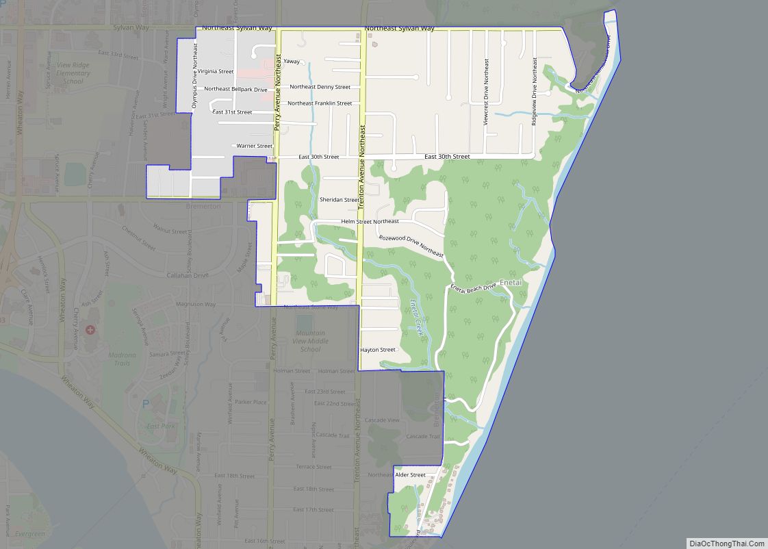
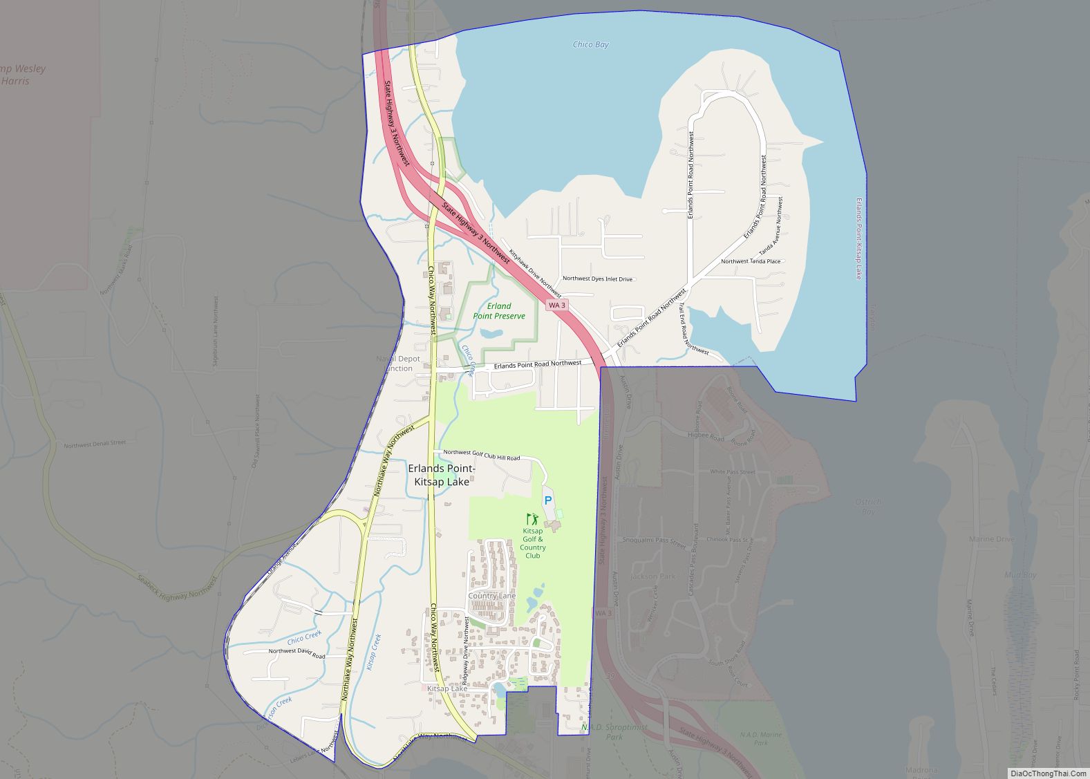
Online Interactive Map
Click on ![]() to view map in "full screen" mode.
to view map in "full screen" mode.
History
Navy Yard City was established in 1909 and resisted several attempts at annexation from the City of Bremerton, which now surrounds the unincorporated community.
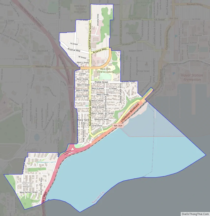
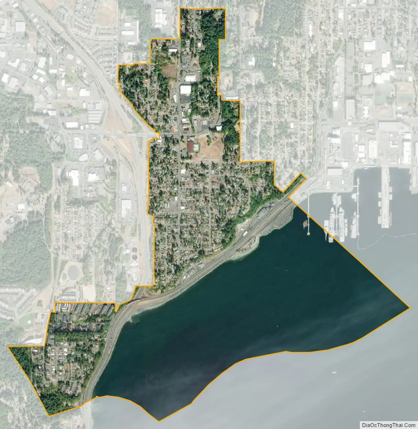
Geography
Navy Yard City is located in south-central Kitsap County at 47°33′6″N 122°40′8″W / 47.55167°N 122.66889°W / 47.55167; -122.66889 (47.551717, -122.669000). It is bordered to the north, east, and west by the city of Bremerton and to the south, across Sinclair Inlet, by the city of Port Orchard, the Kitsap county seat. Washington State Route 3 passes through the west side of Navy Yard City, leading north 16 miles (26 km) to Poulsbo and southwest 34 miles (55 km) to Shelton. Tacoma is 30 miles (48 km) to the southeast via State Route 16.
According to the United States Census Bureau, the Navy Yard City CDP has a total area of 1.0 square mile (2.7 km), of which 0.62 square miles (1.6 km) are land and 0.42 square miles (1.1 km), or 41.18%, are water.
See also
Map of Washington State and its subdivision:- Adams
- Asotin
- Benton
- Chelan
- Clallam
- Clark
- Columbia
- Cowlitz
- Douglas
- Ferry
- Franklin
- Garfield
- Grant
- Grays Harbor
- Island
- Jefferson
- King
- Kitsap
- Kittitas
- Klickitat
- Lewis
- Lincoln
- Mason
- Okanogan
- Pacific
- Pend Oreille
- Pierce
- San Juan
- Skagit
- Skamania
- Snohomish
- Spokane
- Stevens
- Thurston
- Wahkiakum
- Walla Walla
- Whatcom
- Whitman
- Yakima
- Alabama
- Alaska
- Arizona
- Arkansas
- California
- Colorado
- Connecticut
- Delaware
- District of Columbia
- Florida
- Georgia
- Hawaii
- Idaho
- Illinois
- Indiana
- Iowa
- Kansas
- Kentucky
- Louisiana
- Maine
- Maryland
- Massachusetts
- Michigan
- Minnesota
- Mississippi
- Missouri
- Montana
- Nebraska
- Nevada
- New Hampshire
- New Jersey
- New Mexico
- New York
- North Carolina
- North Dakota
- Ohio
- Oklahoma
- Oregon
- Pennsylvania
- Rhode Island
- South Carolina
- South Dakota
- Tennessee
- Texas
- Utah
- Vermont
- Virginia
- Washington
- West Virginia
- Wisconsin
- Wyoming