SeaTac /ˈsiːtæk/ is a city in southern King County, Washington, United States. The city is an inner-ring suburb of Seattle and part of the Seattle metropolitan area. The name “SeaTac” is derived from the Seattle–Tacoma International Airport, itself a portmanteau of Seattle and Tacoma.
The city of SeaTac is 10 square miles (26 km) in area and has a population of 31,454 according to the 2020 census. The city boundaries surround the Seattle–Tacoma International Airport (approximately 3 square miles (7.8 km) in area), which is owned and operated by the Port of Seattle. The city includes the communities of Angle Lake, Bow Lake, McMicken Heights and Riverton Heights, which were established before the city’s incorporation. Residents voted for incorporation on March 14, 1989, and the city incorporated in February 1990.
| Name: | SeaTac city |
|---|---|
| LSAD Code: | 25 |
| LSAD Description: | city (suffix) |
| State: | Washington |
| County: | King County |
| Incorporated: | February 28, 1990 |
| Elevation: | 262 ft (80 m) |
| Total Area: | 10.24 sq mi (26.52 km²) |
| Land Area: | 10.06 sq mi (26.07 km²) |
| Water Area: | 0.17 sq mi (0.45 km²) |
| Total Population: | 31,454 |
| Population Density: | 2,885.93/sq mi (1,114.23/km²) |
| Area code: | 206 |
| FIPS code: | 5362288 |
| GNISfeature ID: | 1534053 |
| Website: | seatacwa.gov |
Online Interactive Map
Click on ![]() to view map in "full screen" mode.
to view map in "full screen" mode.
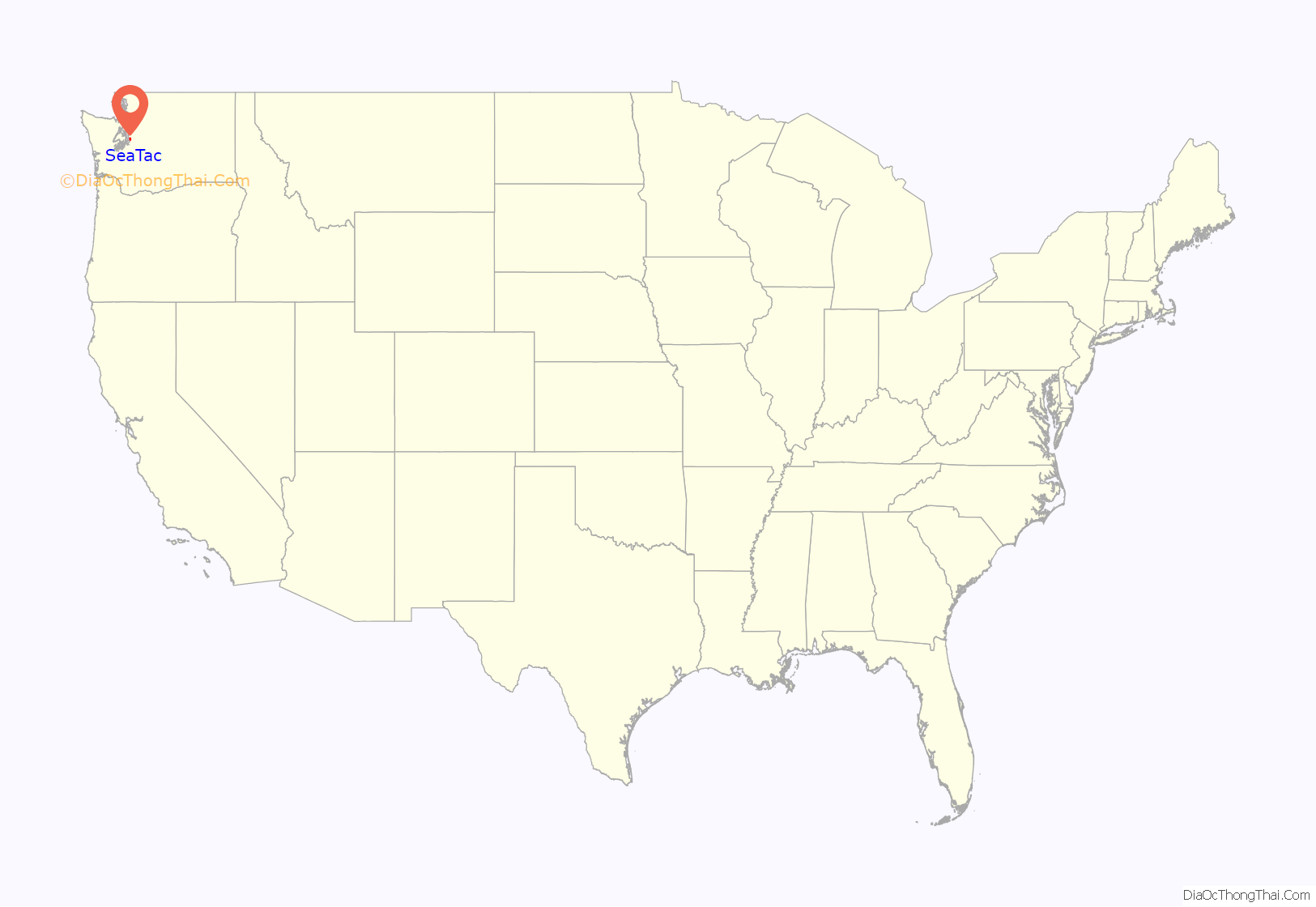
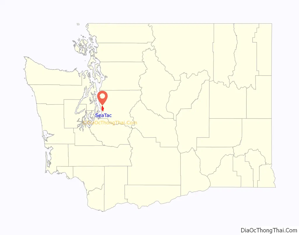
SeaTac location map. Where is SeaTac city?
History
The Highline area, which includes modern-day SeaTac, Burien, most of Des Moines, and unincorporated communities such as White Center and Boulevard Park, was settled by European Americans in the mid-1850s. The federal government finished construction of a military road from Fort Steilacoom to Fort Bellingham in 1860, passing through the Highline area to the east of modern-day SeaTac. One of the more prominent roads of travel from Seattle to Tacoma early in the 20th century is Des Moines Memorial Drive (originally called the High Line road), which passes directly through the middle of the region, particularly through SeaTac and Burien especially.
Incorporating the area as a city was proposed by local residents in the 1980s, while a competing proposal sought annexation into Des Moines or another city. Local residents voted for incorporation on March 14, 1989, and the city incorporated on February 28, 1990. Des Moines amended their annexation territory following the decision. The original ballot used the name “Sea-Tac”, but the incorporation petition to the county government omitted the hyphen. In 2014, Gavin Kelly of The Resolution Foundation wrote that “A generation ago SeaTac was what Americans would call a middle-class town. A jet-fueller or baggage handler could earn a decent living.”
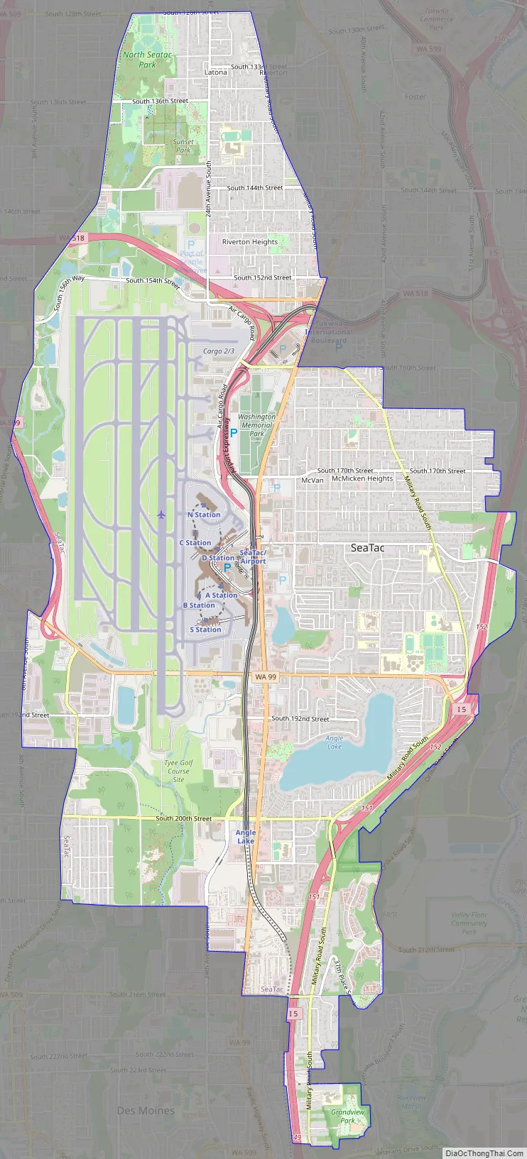
SeaTac Road Map
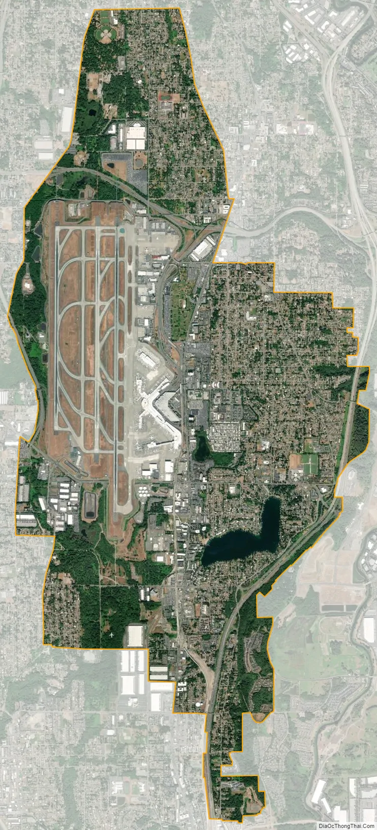
SeaTac city Satellite Map
Geography
SeaTac is located at 47°26′29″N 122°17′35″W / 47.44139°N 122.29306°W / 47.44139; -122.29306 (47.441406, -122.293077).
According to the United States Census Bureau, the city has a total area of 10.21 square miles (26.44 km), of which, 10.03 square miles (25.98 km) is land and 0.18 square miles (0.47 km) is water.
Surrounding cities
See also
Map of Washington State and its subdivision:- Adams
- Asotin
- Benton
- Chelan
- Clallam
- Clark
- Columbia
- Cowlitz
- Douglas
- Ferry
- Franklin
- Garfield
- Grant
- Grays Harbor
- Island
- Jefferson
- King
- Kitsap
- Kittitas
- Klickitat
- Lewis
- Lincoln
- Mason
- Okanogan
- Pacific
- Pend Oreille
- Pierce
- San Juan
- Skagit
- Skamania
- Snohomish
- Spokane
- Stevens
- Thurston
- Wahkiakum
- Walla Walla
- Whatcom
- Whitman
- Yakima
- Alabama
- Alaska
- Arizona
- Arkansas
- California
- Colorado
- Connecticut
- Delaware
- District of Columbia
- Florida
- Georgia
- Hawaii
- Idaho
- Illinois
- Indiana
- Iowa
- Kansas
- Kentucky
- Louisiana
- Maine
- Maryland
- Massachusetts
- Michigan
- Minnesota
- Mississippi
- Missouri
- Montana
- Nebraska
- Nevada
- New Hampshire
- New Jersey
- New Mexico
- New York
- North Carolina
- North Dakota
- Ohio
- Oklahoma
- Oregon
- Pennsylvania
- Rhode Island
- South Carolina
- South Dakota
- Tennessee
- Texas
- Utah
- Vermont
- Virginia
- Washington
- West Virginia
- Wisconsin
- Wyoming


