Surprise is a city in Maricopa County, in the U.S. state of Arizona. The population was 143,148 at the 2020 census, up from 117,517 in 2010 and just 30,848 in 2000.
The city has a 10,562-square-foot (981.2 m) Aquatics Center and Maricopa County’s northwest regional library, a $5.5 million, 20,000-square-foot (1,900 m) library, along with a 100.3 cost of living index.
| Name: | Surprise city |
|---|---|
| LSAD Code: | 25 |
| LSAD Description: | city (suffix) |
| State: | Arizona |
| County: | Maricopa County |
| Elevation: | 1,385 ft (422 m) |
| Total Area: | 110.52 sq mi (286.25 km²) |
| Land Area: | 110.30 sq mi (285.68 km²) |
| Water Area: | 0.22 sq mi (0.57 km²) |
| Total Population: | 143,148 |
| Population Density: | 1,297.78/sq mi (501.08/km²) |
| ZIP code: | 85374, 85378–85379, 85387–85388 |
| Area code: | 623 |
| FIPS code: | 0471510 |
| GNISfeature ID: | 2412016 |
| Website: | www.surpriseaz.gov |
Online Interactive Map
Click on ![]() to view map in "full screen" mode.
to view map in "full screen" mode.
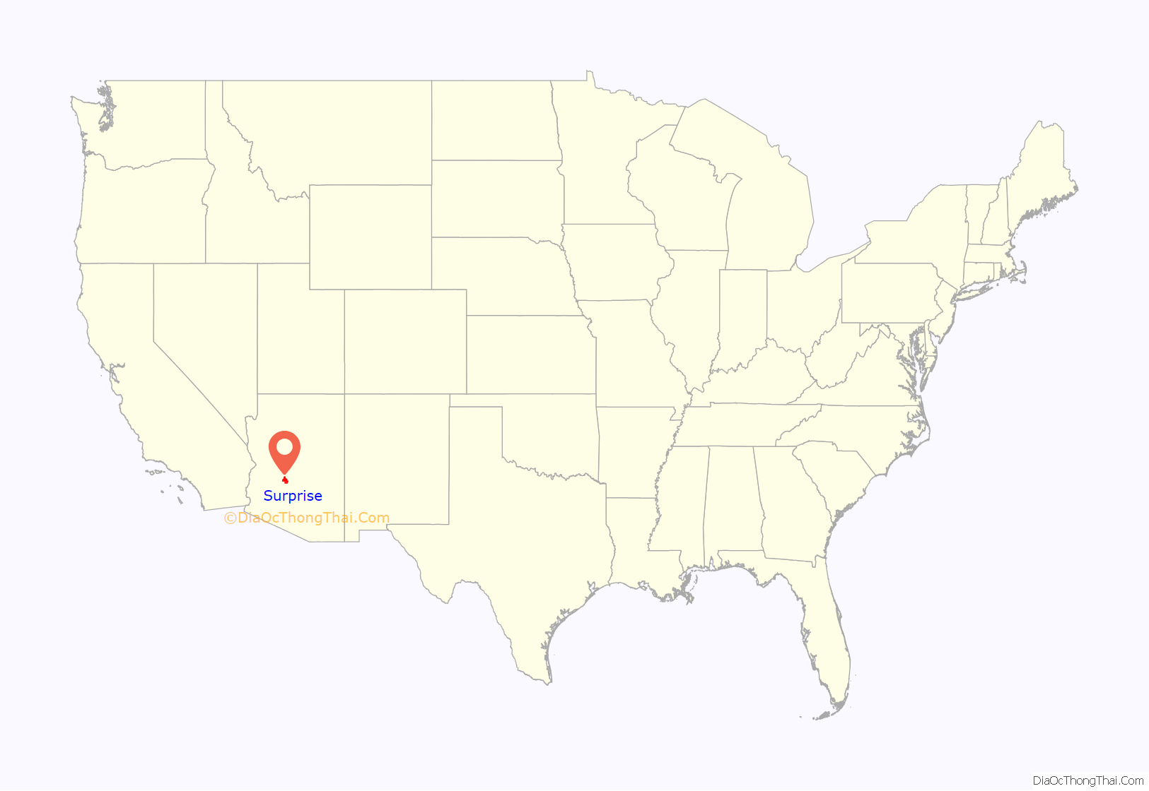
Surprise location map. Where is Surprise city?
History
The city was founded in 1938 by Flora Mae Statler, who named it Surprise as she “would be surprised if the town ever amounted to much.” Surprise officials previously thought the city was founded by Statler’s husband, real estate developer and state legislator Homer C. Ludden, but in 2010 property records were discovered which listed Statler owning the land before she met Ludden.
When Surprise was subdivided to build inexpensive houses for agricultural workers, there were only a few houses and a gas station on the one-square-mile (1.6 km) parcel of land. Since then, the town has experienced tremendous growth. It incorporated as a city in 1960. The townsite is bounded by Greenway Road on the south, El Mirage Road on the east, Bell Road on the north, and Dysart Road on the west. City Hall is located on the site of one of Luke Air Force Base’s former auxiliary airfields.
Tens of thousands of retirees moved to the city in the 1990s and early 2000s to live in Sun City Grand, an age-restricted resort-like community with homes built by the property development firm Del Webb. Surprise is about 5 miles (8 km) northwest of Del Webb’s original Sun City development and adjacent to Sun City West.
Sun City Grand has become a large contributor to the city’s population, which more than septupled from 10,187 to about 75,000 in 2004.
Surprise Road Map
Surprise city Satellite Map
Geography
Surprise is between 20 and 30 miles (32 and 48 km) northwest of Phoenix. It is bordered to the northeast by Peoria, to the east by unincorporated Sun City West and Sun City, to the southeast by El Mirage, to the south by Glendale, and to the west by Buckeye and unincorporated Wittmann.
According to the United States Census Bureau, the city has a total area of 110.5 square miles (286 km), of which 0.2 square miles (0.5 km), or 0.20%, are water.
See also
Map of Arizona State and its subdivision: Map of other states:- Alabama
- Alaska
- Arizona
- Arkansas
- California
- Colorado
- Connecticut
- Delaware
- District of Columbia
- Florida
- Georgia
- Hawaii
- Idaho
- Illinois
- Indiana
- Iowa
- Kansas
- Kentucky
- Louisiana
- Maine
- Maryland
- Massachusetts
- Michigan
- Minnesota
- Mississippi
- Missouri
- Montana
- Nebraska
- Nevada
- New Hampshire
- New Jersey
- New Mexico
- New York
- North Carolina
- North Dakota
- Ohio
- Oklahoma
- Oregon
- Pennsylvania
- Rhode Island
- South Carolina
- South Dakota
- Tennessee
- Texas
- Utah
- Vermont
- Virginia
- Washington
- West Virginia
- Wisconsin
- Wyoming
