Wildwood is a city in Sumter County, Florida, United States. The population was 6,709 at the 2010 census. According to the U.S. Census Bureau’s 2018 estimates, the city had a population of 7,024. Due to rapid growth the city had over 33,000 residents by October of 2022 with plans to swell to over 100,000 in the foreseeable future.
| Name: | Wildwood city |
|---|---|
| LSAD Code: | 25 |
| LSAD Description: | city (suffix) |
| State: | Florida |
| County: | Sumter County |
| Elevation: | 66 ft (20 m) |
| Total Area: | 57.37 sq mi (148.59 km²) |
| Land Area: | 56.28 sq mi (145.77 km²) |
| Water Area: | 1.09 sq mi (2.82 km²) |
| Total Population: | 33,000 |
| Population Density: | 279.50/sq mi (107.91/km²) |
| ZIP code: | 34785 |
| Area code: | 352 |
| FIPS code: | 1277675 |
| GNISfeature ID: | 0293301 |
| Website: | www.wildwood-fl.gov |
Online Interactive Map
Click on ![]() to view map in "full screen" mode.
to view map in "full screen" mode.
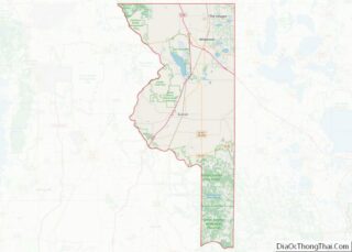
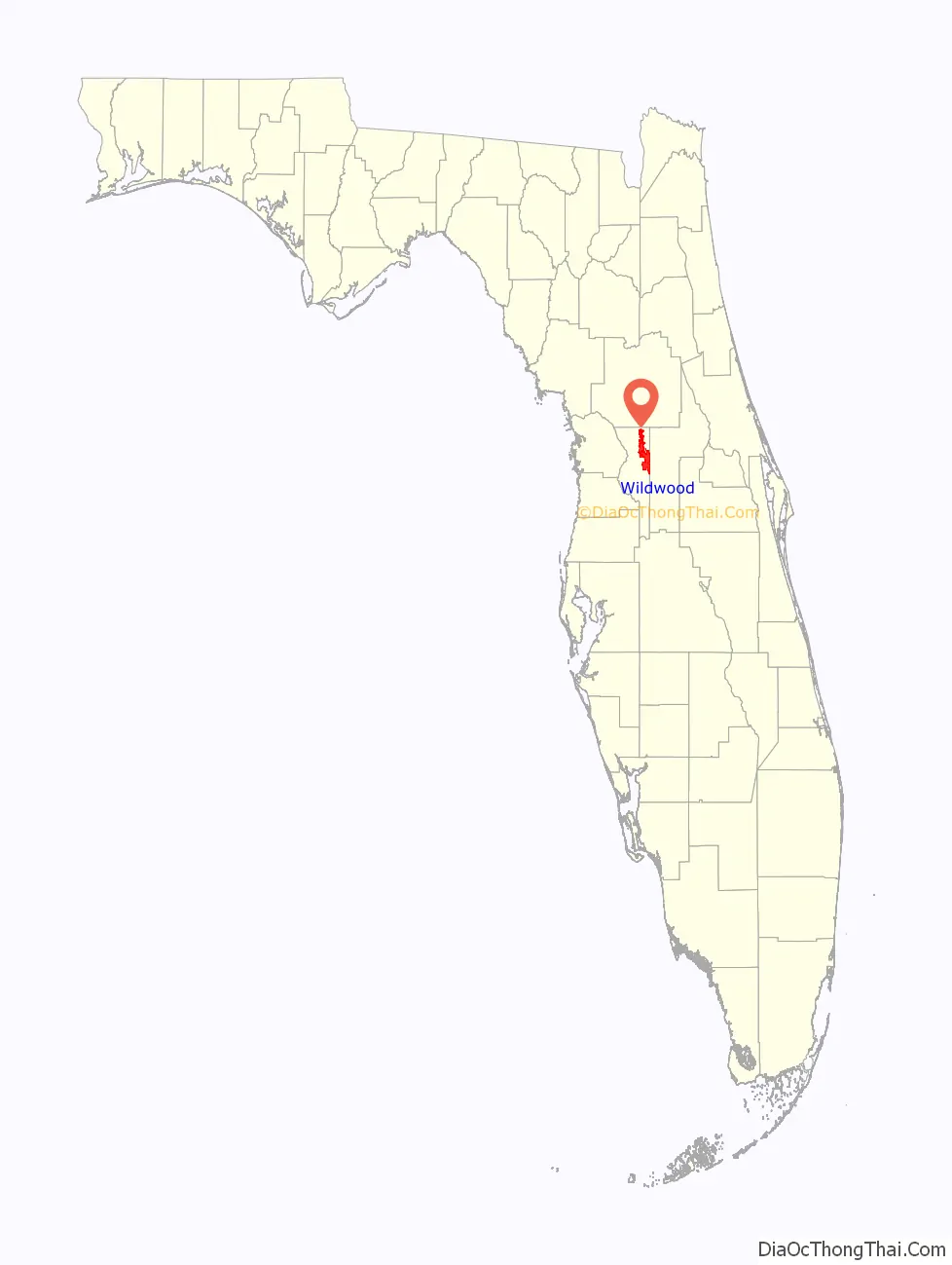
Wildwood location map. Where is Wildwood city?

History
A post office called Wildwood has been in operation since 1881. The town was named for its remote location in the woods.
In April 2015, The Villages petitioned the city of Wildwood with plans to build 785 new homes on County Road 466A, across from Pinellas Plaza. Wildwood leaders rejected the expansion efforts citing concerns of the city losing its identity when it was to become overwhelmed by The Villages. On April 27, 2015, The Villages formally withdrew their plans for expansion, indicating that the City of Wildwood officials made too many requests that would be a “disservice to our residents and business partners”. There are no known plans for further expansion of The Villages into the city of Wildwood.
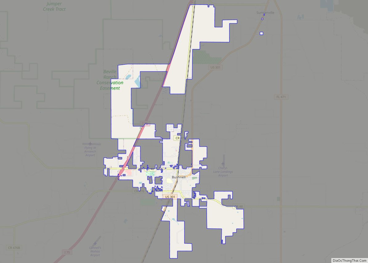
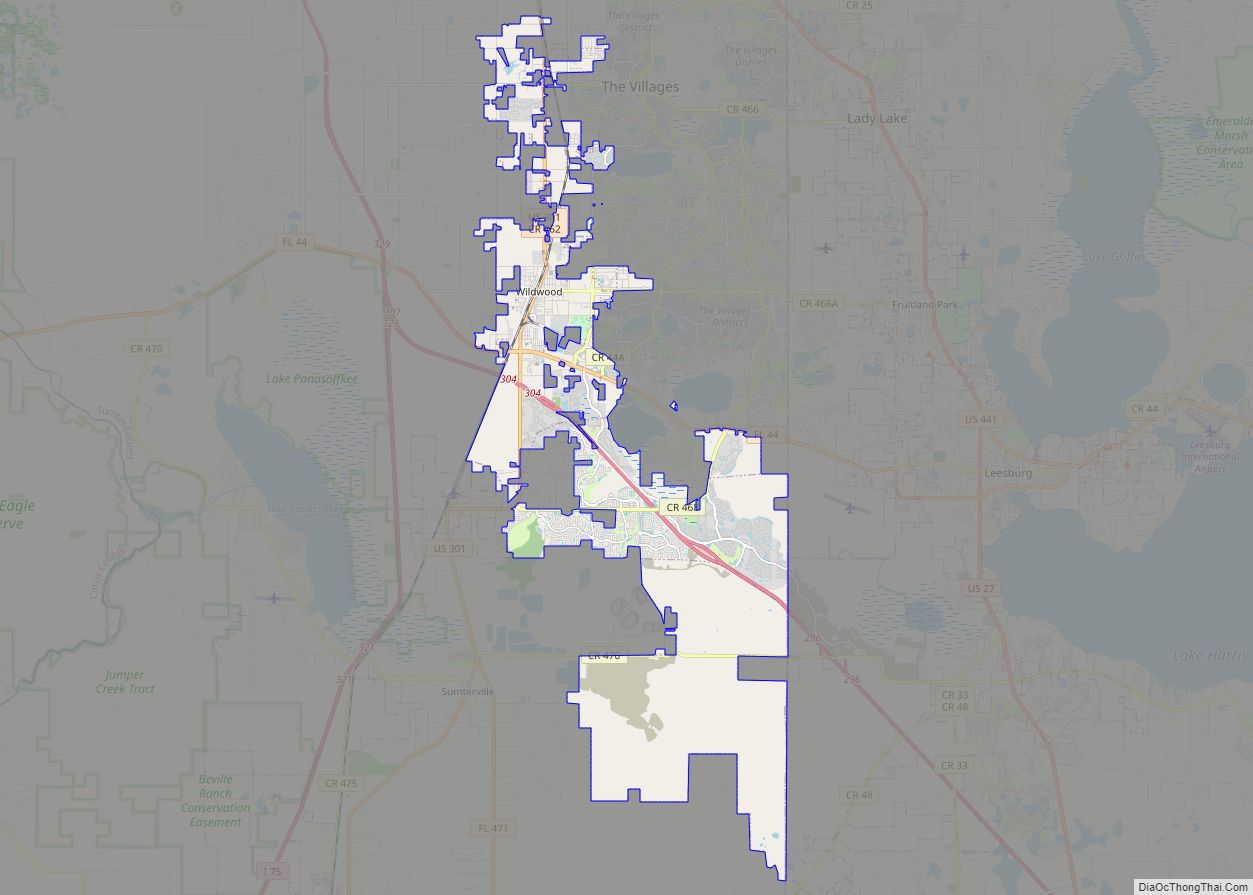
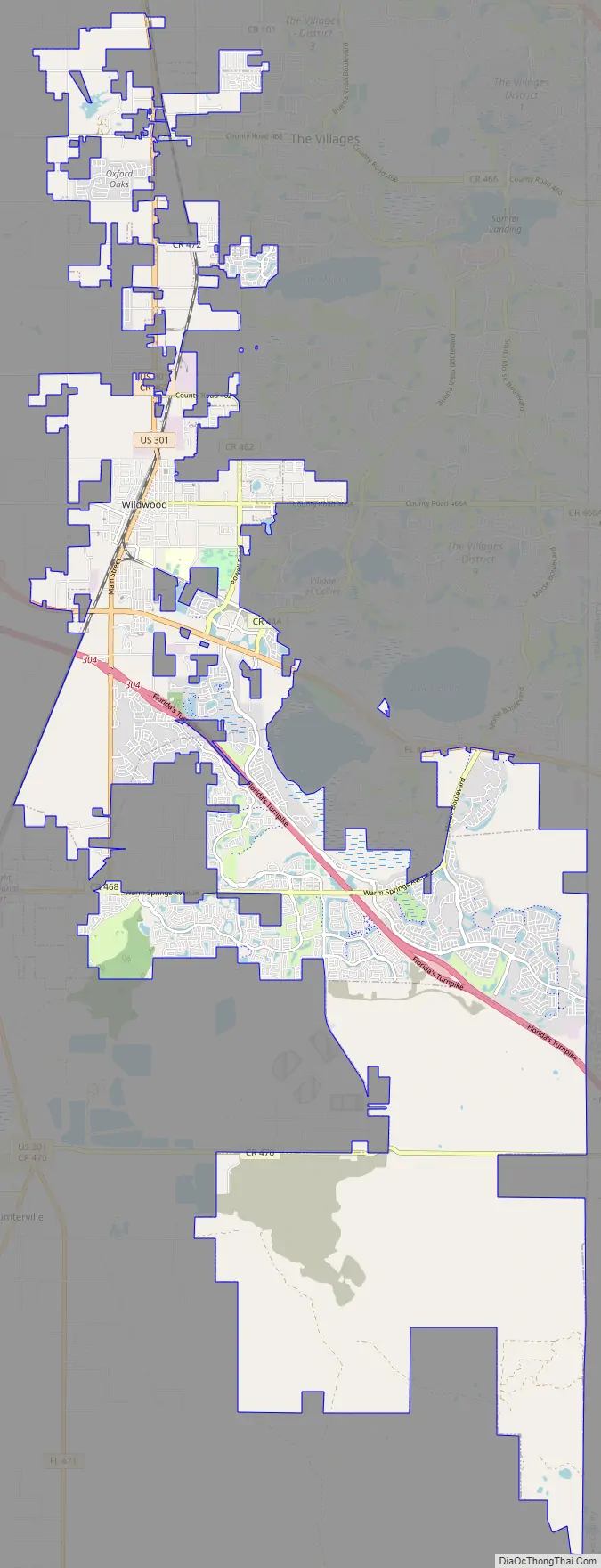
Wildwood Road Map
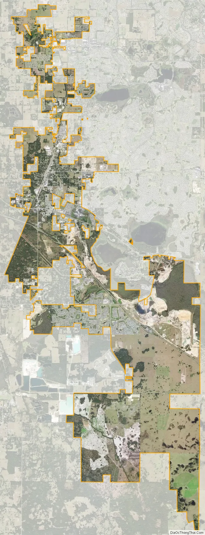
Wildwood city Satellite Map
Geography
Wildwood is located at 28°51′31″N 82°2′19″W / 28.85861°N 82.03861°W / 28.85861; -82.03861 (28.858610, –82.038499).
According to the United States Census Bureau, the city has a total area of 13.4 km (5.2 mi).
See also
Map of Florida State and its subdivision:- Alachua
- Baker
- Bay
- Bradford
- Brevard
- Broward
- Calhoun
- Charlotte
- Citrus
- Clay
- Collier
- Columbia
- Desoto
- Dixie
- Duval
- Escambia
- Flagler
- Franklin
- Gadsden
- Gilchrist
- Glades
- Gulf
- Hamilton
- Hardee
- Hendry
- Hernando
- Highlands
- Hillsborough
- Holmes
- Indian River
- Jackson
- Jefferson
- Lafayette
- Lake
- Lee
- Leon
- Levy
- Liberty
- Madison
- Manatee
- Marion
- Martin
- Miami-Dade
- Monroe
- Nassau
- Okaloosa
- Okeechobee
- Orange
- Osceola
- Palm Beach
- Pasco
- Pinellas
- Polk
- Putnam
- Saint Johns
- Saint Lucie
- Santa Rosa
- Sarasota
- Seminole
- Sumter
- Suwannee
- Taylor
- Union
- Volusia
- Wakulla
- Walton
- Washington
- Alabama
- Alaska
- Arizona
- Arkansas
- California
- Colorado
- Connecticut
- Delaware
- District of Columbia
- Florida
- Georgia
- Hawaii
- Idaho
- Illinois
- Indiana
- Iowa
- Kansas
- Kentucky
- Louisiana
- Maine
- Maryland
- Massachusetts
- Michigan
- Minnesota
- Mississippi
- Missouri
- Montana
- Nebraska
- Nevada
- New Hampshire
- New Jersey
- New Mexico
- New York
- North Carolina
- North Dakota
- Ohio
- Oklahoma
- Oregon
- Pennsylvania
- Rhode Island
- South Carolina
- South Dakota
- Tennessee
- Texas
- Utah
- Vermont
- Virginia
- Washington
- West Virginia
- Wisconsin
- Wyoming