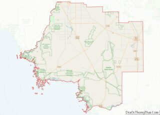
Yankeetown is a town in Levy County, Florida, United States. In the 2020 census, the population was 588.
| Name: | Yankeetown town |
|---|---|
| LSAD Code: | 43 |
| LSAD Description: | town (suffix) |
| State: | Florida |
| County: | Levy County |
| Elevation: | 10 ft (3 m) |
| Total Area: | 20.97 sq mi (54.31 km²) |
| Land Area: | 7.73 sq mi (20.02 km²) |
| Water Area: | 13.24 sq mi (34.29 km²) |
| Total Population: | 588 |
| Population Density: | 76.07/sq mi (29.37/km²) |
| ZIP code: | 34498 |
| Area code: | 352 |
| FIPS code: | 1278925 |
| GNISfeature ID: | 0293564 |
| Website: | yankeetownfl.govoffice2.com |
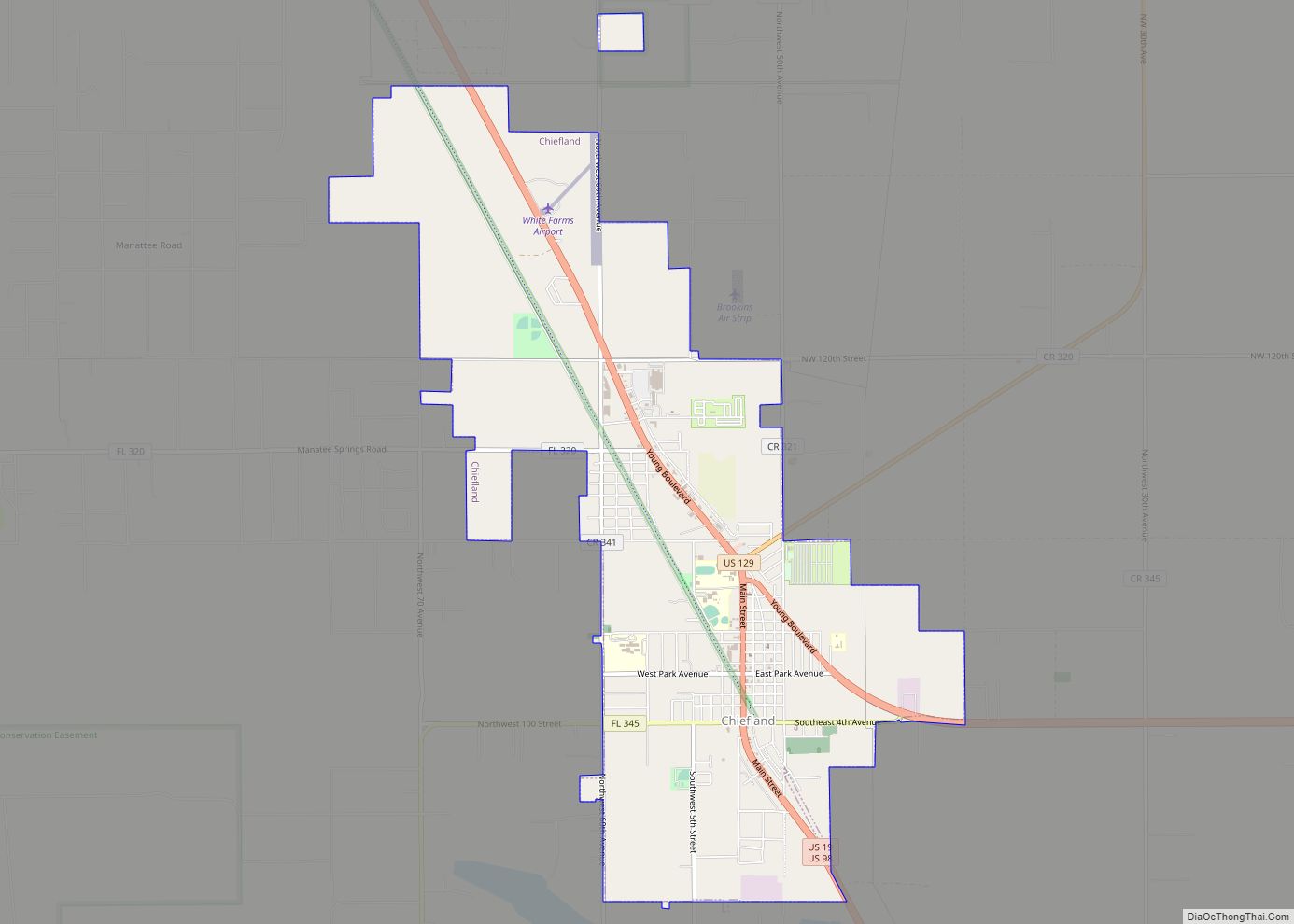
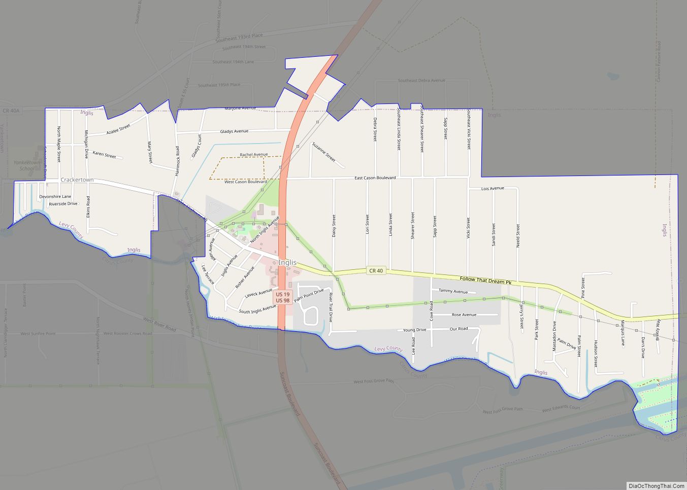
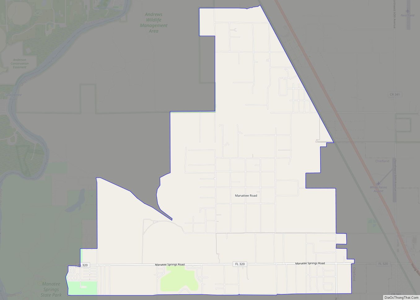
Online Interactive Map
Click on ![]() to view map in "full screen" mode.
to view map in "full screen" mode.
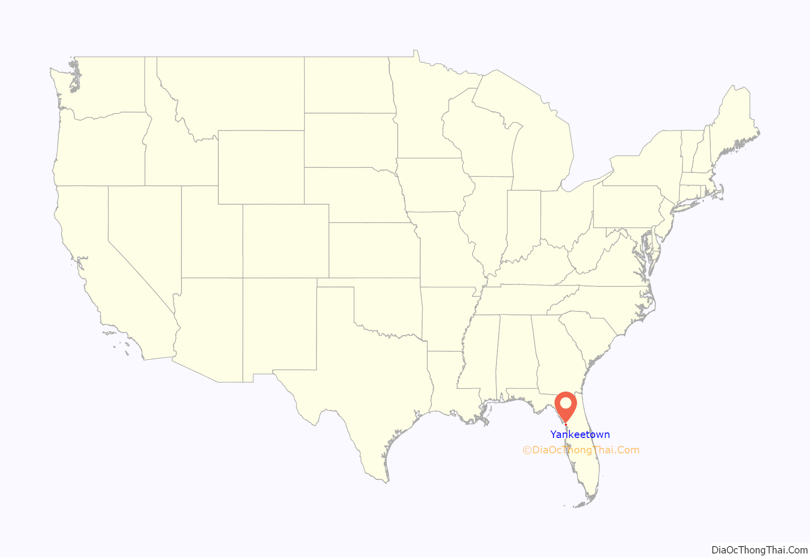
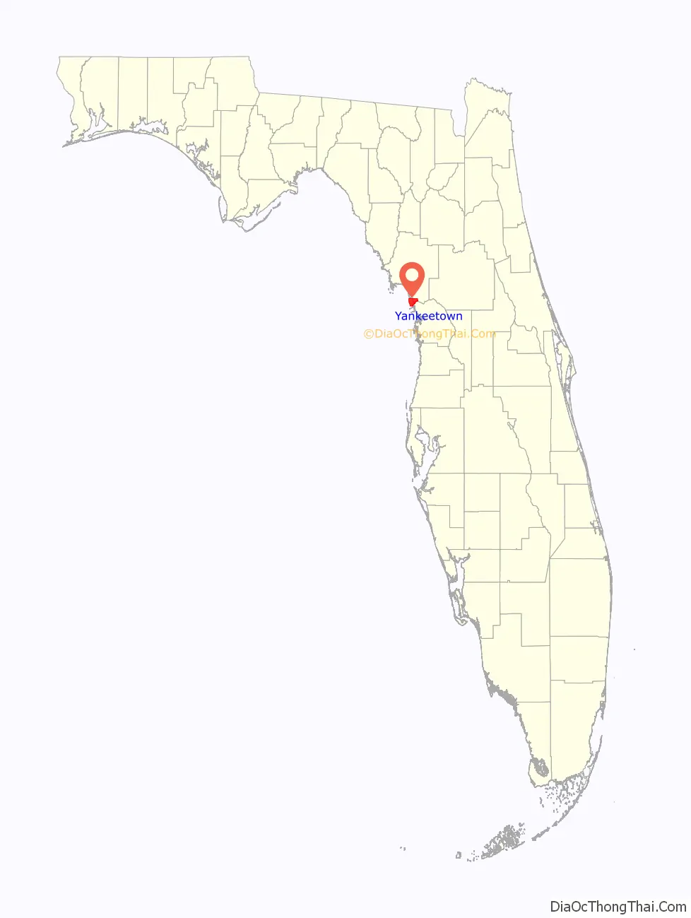
Yankeetown location map. Where is Yankeetown town?
History
Yankeetown was founded in 1923 by the Indiana politician and lawyer Armanis F. Knotts, who moved to the area because of his great love for hunting. The settlement was originally named Knotts for the founder. However, stories have it that the present name comes from a local mail carrier, an “unreconstructed Confederate,” who frequently and derisively directed visitors to the settlement that he called “that Yankee town.” Yankeetown was initially to be western end of a 1930s proposed, but never actualized, Cross Florida Canal.
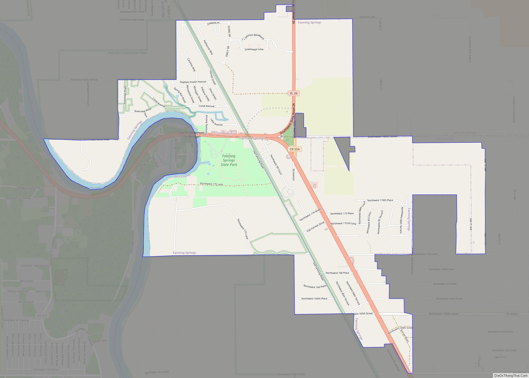
Yankeetown Road Map

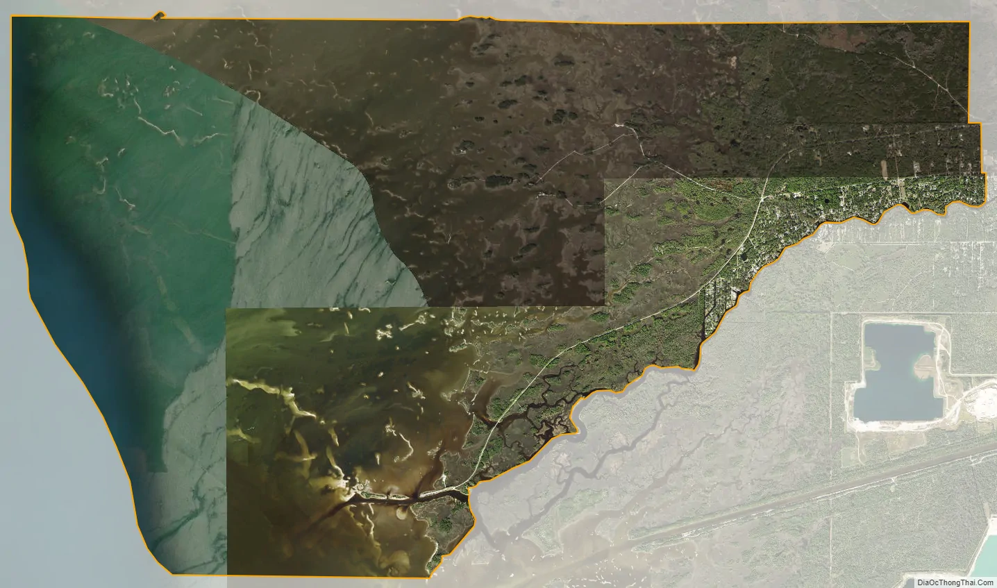
Yankeetown city Satellite Map
Geography
Yankeetown is located at 29°1′52″N 82°43′12″W / 29.03111°N 82.72000°W / 29.03111; -82.72000 (29.031155, –82.720104). The outermost reaches of the town are located around the mouth of the Withlacoochee River and along the Gulf of Mexico.
According to the United States Census Bureau, the town has a total area of 21.1 square miles (54.6 km), of which 7.6 square miles (19.8 km) is land and 13.4 square miles (34.8 km), or 63.75%, is water.
See also
Map of Florida State and its subdivision:- Alachua
- Baker
- Bay
- Bradford
- Brevard
- Broward
- Calhoun
- Charlotte
- Citrus
- Clay
- Collier
- Columbia
- Desoto
- Dixie
- Duval
- Escambia
- Flagler
- Franklin
- Gadsden
- Gilchrist
- Glades
- Gulf
- Hamilton
- Hardee
- Hendry
- Hernando
- Highlands
- Hillsborough
- Holmes
- Indian River
- Jackson
- Jefferson
- Lafayette
- Lake
- Lee
- Leon
- Levy
- Liberty
- Madison
- Manatee
- Marion
- Martin
- Miami-Dade
- Monroe
- Nassau
- Okaloosa
- Okeechobee
- Orange
- Osceola
- Palm Beach
- Pasco
- Pinellas
- Polk
- Putnam
- Saint Johns
- Saint Lucie
- Santa Rosa
- Sarasota
- Seminole
- Sumter
- Suwannee
- Taylor
- Union
- Volusia
- Wakulla
- Walton
- Washington
- Alabama
- Alaska
- Arizona
- Arkansas
- California
- Colorado
- Connecticut
- Delaware
- District of Columbia
- Florida
- Georgia
- Hawaii
- Idaho
- Illinois
- Indiana
- Iowa
- Kansas
- Kentucky
- Louisiana
- Maine
- Maryland
- Massachusetts
- Michigan
- Minnesota
- Mississippi
- Missouri
- Montana
- Nebraska
- Nevada
- New Hampshire
- New Jersey
- New Mexico
- New York
- North Carolina
- North Dakota
- Ohio
- Oklahoma
- Oregon
- Pennsylvania
- Rhode Island
- South Carolina
- South Dakota
- Tennessee
- Texas
- Utah
- Vermont
- Virginia
- Washington
- West Virginia
- Wisconsin
- Wyoming