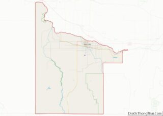
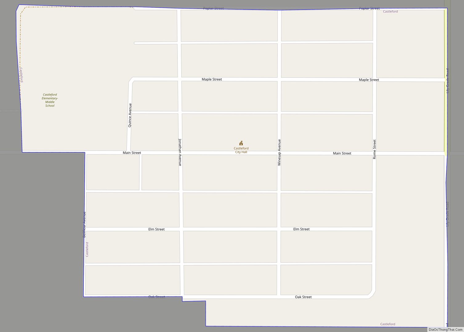
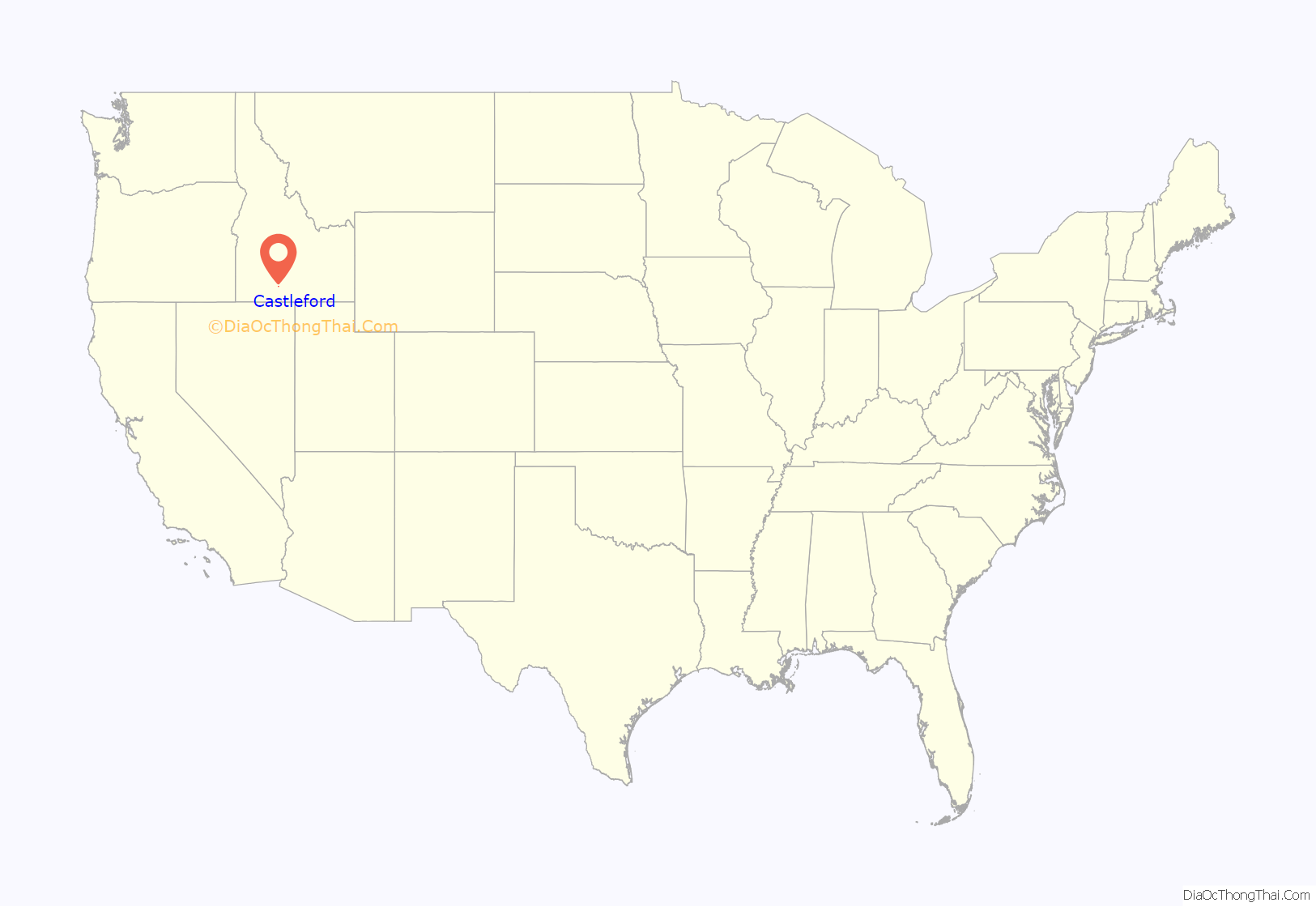
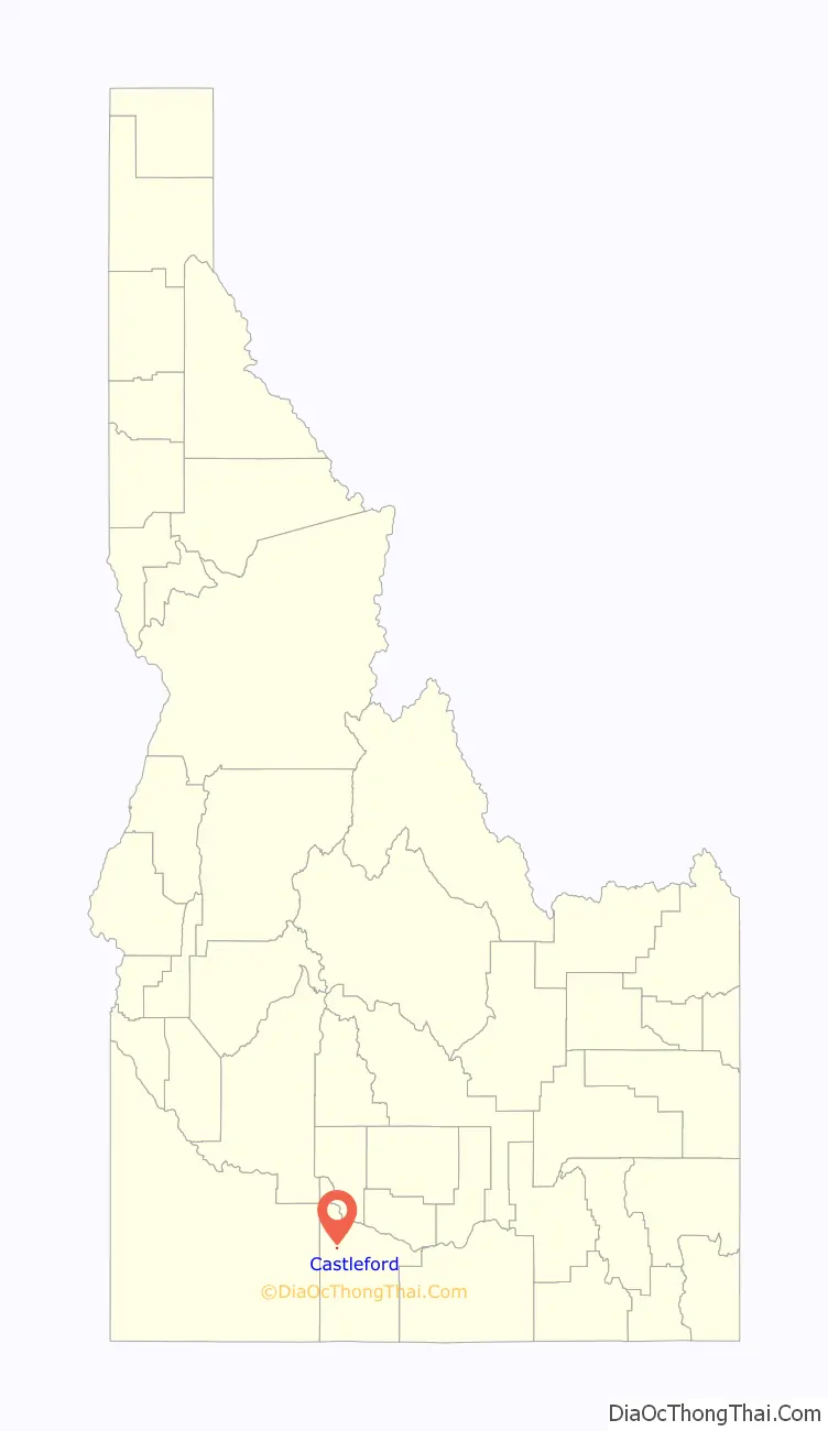
Castleford is a city in Twin Falls County, Idaho, United States. The population was 226 at the 2010 census. It is part of the Twin Falls, Idaho Micropolitan Statistical Area.
| Name: | Castleford city |
|---|---|
| LSAD Code: | 25 |
| LSAD Description: | city (suffix) |
| State: | Idaho |
| County: | Twin Falls County |
| Elevation: | 3,872 ft (1,180 m) |
| Total Area: | 0.10 sq mi (0.25 km²) |
| Land Area: | 0.10 sq mi (0.25 km²) |
| Water Area: | 0.00 sq mi (0.00 km²) |
| Total Population: | 226 |
| Population Density: | 2,604.17/sq mi (1,008.25/km²) |
| ZIP code: | 83321 |
| Area code: | 208, 986 |
| FIPS code: | 1613240 |
| GNISfeature ID: | 0371910 |
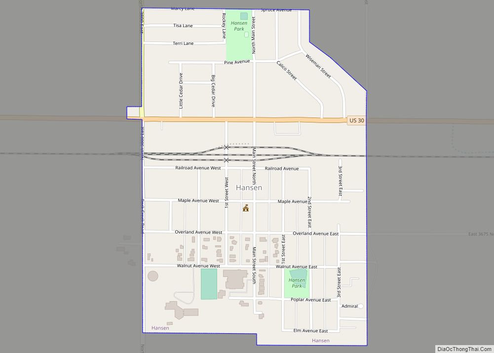
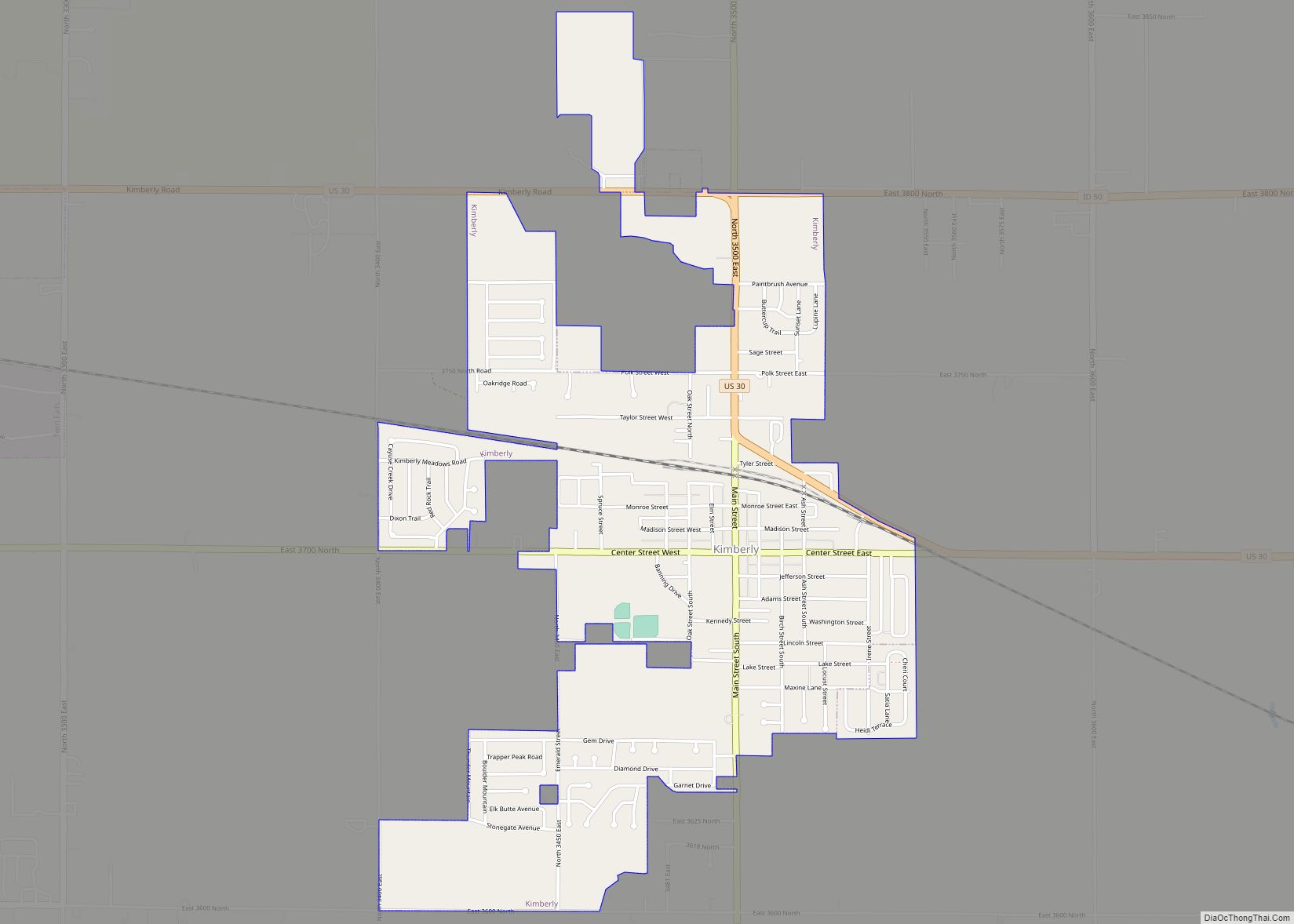
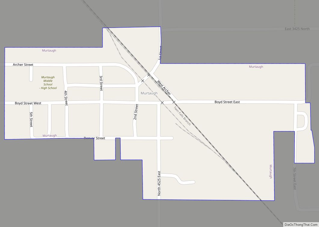
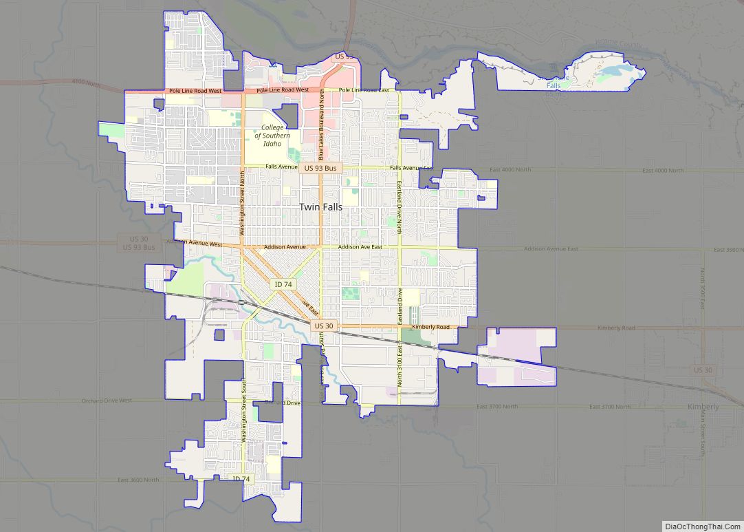
Online Interactive Map
Click on ![]() to view map in "full screen" mode.
to view map in "full screen" mode.
Castleford location map. Where is Castleford city?
History
Castleford was named for an early crossing of Salmon Falls Creek. The ford was so named because of the odd-shaped obelisks of rhyolite near the stream. The ford, used by pioneers in 1849, was also used by the Kelton-Dalles stage route.
In 1890, Cephas Lilly settled the area that would later become Castleford. He was considered to be an honest, hardworking pioneer by his contemporaries.
Ferguson Fruit and Land was quick to utilize the fertile farmland, planting acres of apple orchards. The new fruit business revitalized the local economy, bringing in many new settlers. This new influx of settlers led to the official founding of Castleford in 1907. Business there continued to remain prosperous until the Great Depression, at which point Ferguson Fruit and Land became bankrupt and the town was almost abandoned. Later, with the onset of World War II, the government established a Japanese internment camp on the outskirts of the town. ( This is not a true statement. The internment camp was actually in Hunt, Idaho. There were two Japanese families that lived in Castleford during WWII, they were told to go to the camp, but the Castleford community voiced their objections to the government, and the families were allowed to stay in Castleford.)(I agree with Mr. McCoy. I have asked my Father, David Chandler Davis and my 97-year-old grandmother, Julia Chandler and they have verified that there was no Internment Camp in Castleford) Despite their initial protest, the local citizens eventually came to welcome the government’s presence, as it brought life back into their near-dead economy. After World War II, the camp was dismantled and removed in order to wipe away the stain left on Castleford’s history.
During the Cold War, the United States Army conducted subterranean high-explosive tests at the Idaho Firing Range, thirty miles west of Castleford. It is locally believed that the residue from these explosives seeped into the area’s water supply, which later created the town’s record-breaking arsenic levels.
Nevertheless, Castleford, as a rural community, prides itself through its school district as one of the best 1A schools in Southern Idaho.
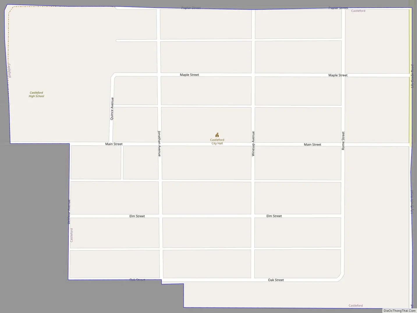
Castleford Road Map
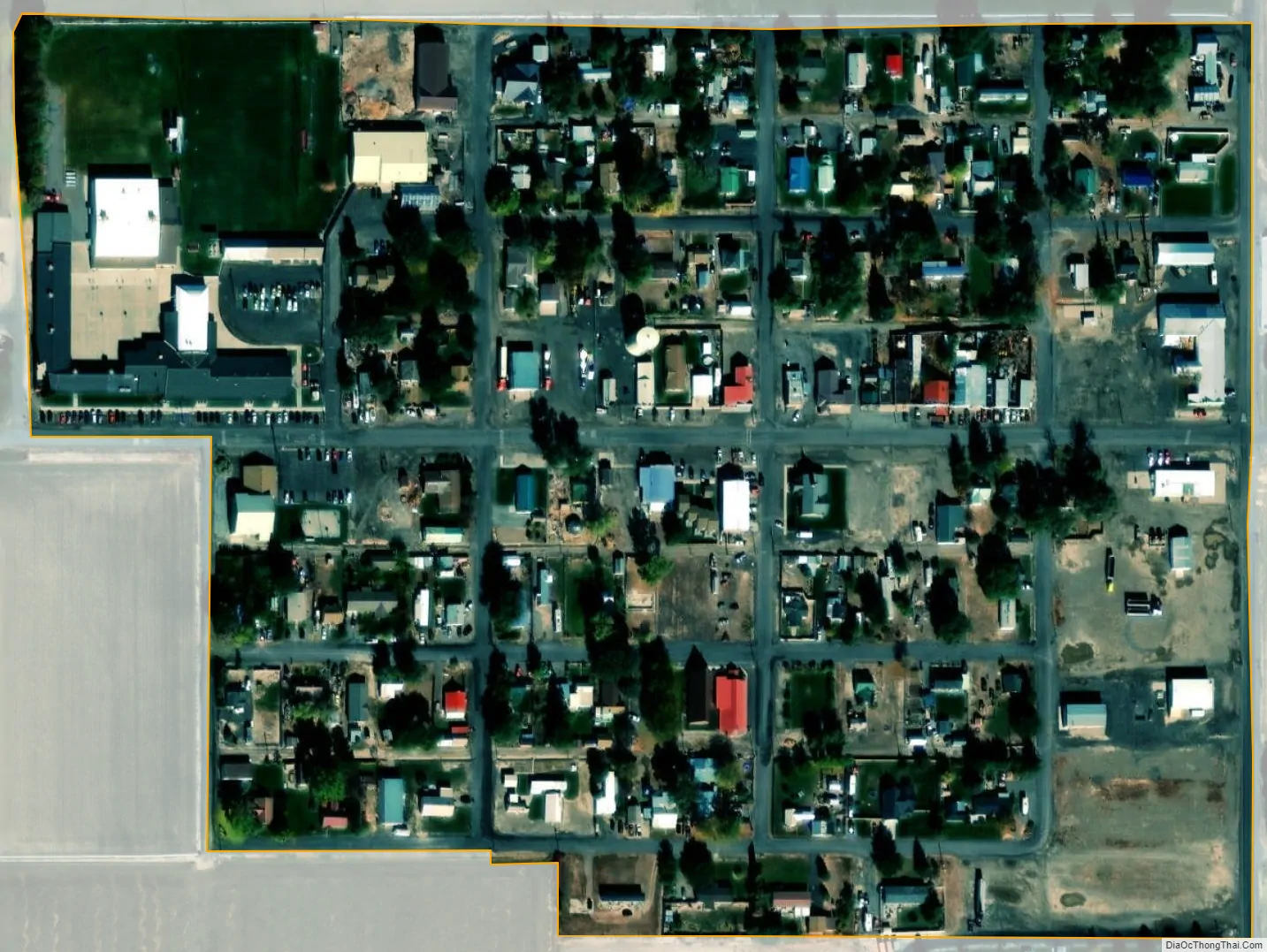
Castleford city Satellite Map
Geography
Castleford is located at 42°31′13″N 114°52′19″W / 42.52028°N 114.87194°W / 42.52028; -114.87194 (42.520254, -114.872040), on the west bank of Salmon Falls Creek.
According to the United States Census Bureau, the city has a total area of 0.09 square miles (0.23 km), all of it land.
Climate
According to the Köppen Climate Classification system, Castleford has a semi-arid climate, abbreviated “BSk” on climate maps.
See also
Map of Idaho State and its subdivision:- Ada
- Adams
- Bannock
- Bear Lake
- Benewah
- Bingham
- Blaine
- Boise
- Bonner
- Bonneville
- Boundary
- Butte
- Camas
- Canyon
- Caribou
- Cassia
- Clark
- Clearwater
- Custer
- Elmore
- Franklin
- Fremont
- Gem
- Gooding
- Idaho
- Jefferson
- Jerome
- Kootenai
- Latah
- Lemhi
- Lewis
- Lincoln
- Madison
- Minidoka
- Nez Perce
- Oneida
- Owyhee
- Payette
- Power
- Shoshone
- Teton
- Twin Falls
- Valley
- Washington
- Alabama
- Alaska
- Arizona
- Arkansas
- California
- Colorado
- Connecticut
- Delaware
- District of Columbia
- Florida
- Georgia
- Hawaii
- Idaho
- Illinois
- Indiana
- Iowa
- Kansas
- Kentucky
- Louisiana
- Maine
- Maryland
- Massachusetts
- Michigan
- Minnesota
- Mississippi
- Missouri
- Montana
- Nebraska
- Nevada
- New Hampshire
- New Jersey
- New Mexico
- New York
- North Carolina
- North Dakota
- Ohio
- Oklahoma
- Oregon
- Pennsylvania
- Rhode Island
- South Carolina
- South Dakota
- Tennessee
- Texas
- Utah
- Vermont
- Virginia
- Washington
- West Virginia
- Wisconsin
- Wyoming