Murtaugh is a rural town in Twin Falls County, Idaho, United States. The population was 115 at the 2010 census, down from 139 in 2000. It is part of the Twin Falls, Idaho Micropolitan Statistical Area. Murtaugh has existed since at least the early 1950s, and is named after Mark Murtaugh, who oversaw a local irrigation project.
| Name: | Murtaugh city |
|---|---|
| LSAD Code: | 25 |
| LSAD Description: | city (suffix) |
| State: | Idaho |
| County: | Twin Falls County |
| Elevation: | 4,085 ft (1,245 m) |
| Total Area: | 0.12 sq mi (0.31 km²) |
| Land Area: | 0.12 sq mi (0.31 km²) |
| Water Area: | 0.00 sq mi (0.00 km²) |
| Total Population: | 115 |
| Population Density: | 1,445.38/sq mi (558.69/km²) |
| ZIP code: | 83344 |
| Area code: | 208, 986 |
| FIPS code: | 1655900 |
| GNISfeature ID: | 0374087 |
Online Interactive Map
Click on ![]() to view map in "full screen" mode.
to view map in "full screen" mode.
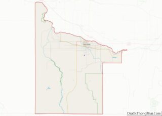
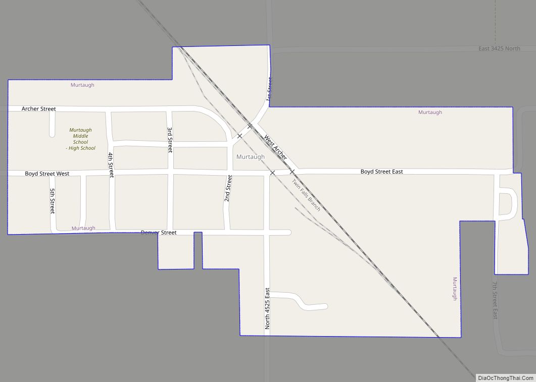
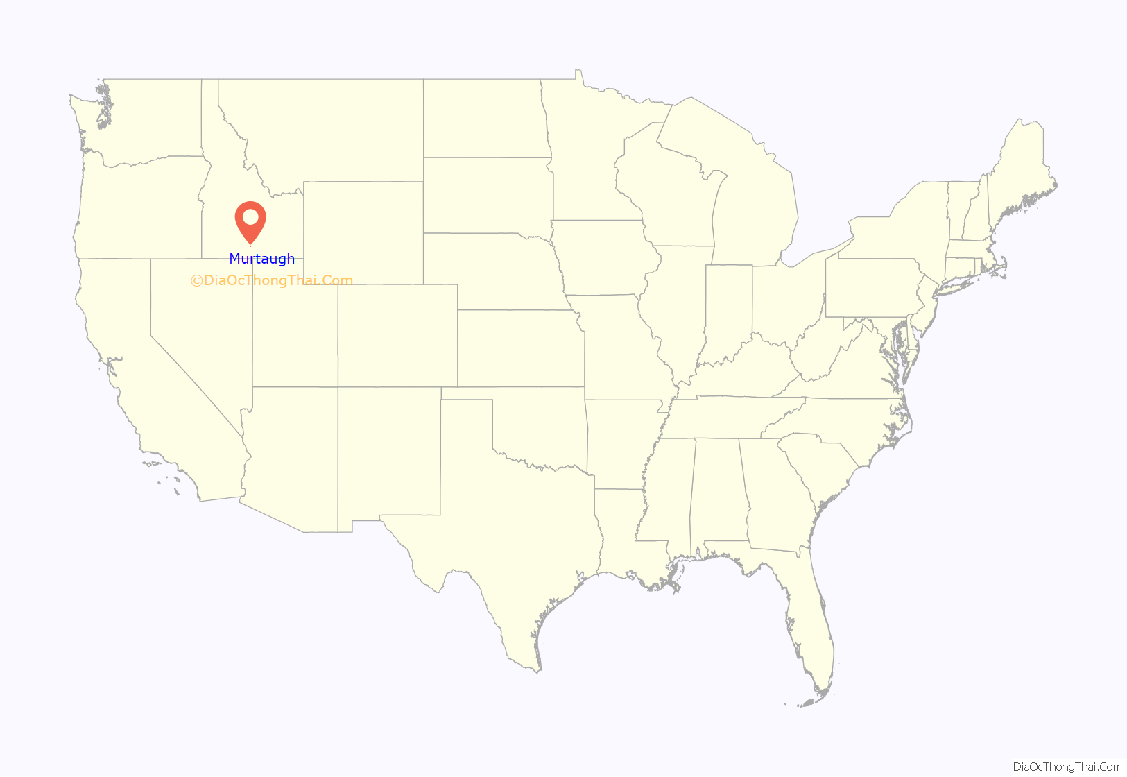
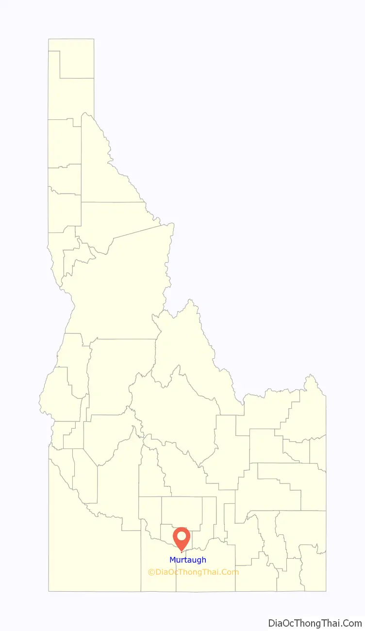
Murtaugh location map. Where is Murtaugh city?
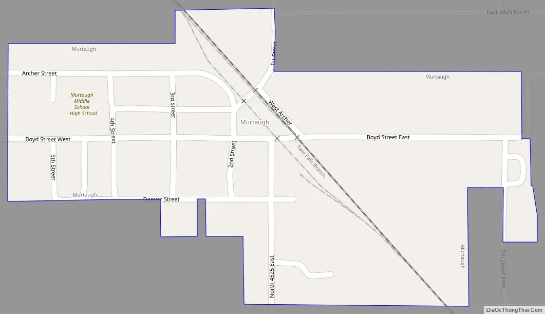
Murtaugh Road Map
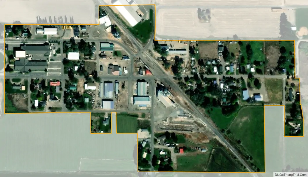
Murtaugh city Satellite Map
Geography
Murtaugh is located at 42°29′32″N 114°9′44″W / 42.49222°N 114.16222°W / 42.49222; -114.16222 (42.492159, -114.162227), at an elevation of 4,085 feet (1,245 m) above sea level,
According to the United States Census Bureau, the town has a total area of 0.12 square miles (0.31 km), all of it land.
The community is located at a bend in U.S. Route 30. Murtaugh Lake is south of town on the opposite side of US-30.
See also
Map of Idaho State and its subdivision:- Ada
- Adams
- Bannock
- Bear Lake
- Benewah
- Bingham
- Blaine
- Boise
- Bonner
- Bonneville
- Boundary
- Butte
- Camas
- Canyon
- Caribou
- Cassia
- Clark
- Clearwater
- Custer
- Elmore
- Franklin
- Fremont
- Gem
- Gooding
- Idaho
- Jefferson
- Jerome
- Kootenai
- Latah
- Lemhi
- Lewis
- Lincoln
- Madison
- Minidoka
- Nez Perce
- Oneida
- Owyhee
- Payette
- Power
- Shoshone
- Teton
- Twin Falls
- Valley
- Washington
- Alabama
- Alaska
- Arizona
- Arkansas
- California
- Colorado
- Connecticut
- Delaware
- District of Columbia
- Florida
- Georgia
- Hawaii
- Idaho
- Illinois
- Indiana
- Iowa
- Kansas
- Kentucky
- Louisiana
- Maine
- Maryland
- Massachusetts
- Michigan
- Minnesota
- Mississippi
- Missouri
- Montana
- Nebraska
- Nevada
- New Hampshire
- New Jersey
- New Mexico
- New York
- North Carolina
- North Dakota
- Ohio
- Oklahoma
- Oregon
- Pennsylvania
- Rhode Island
- South Carolina
- South Dakota
- Tennessee
- Texas
- Utah
- Vermont
- Virginia
- Washington
- West Virginia
- Wisconsin
- Wyoming