Buhl is a city located on the old Oregon Trail in the western half of Twin Falls County, Idaho. The population was 4,122 at the time of the 2010 census, up from 3,985 in 2000. It is part of the Twin Falls, Idaho metropolitan area.
U.S. Route 30 passes through Buhl, along the scenic Thousand Springs Scenic Byway from Twin Falls to Bliss. Known as the “Trout Capital of the World,” Buhl is the location of numerous hatcheries in the immediate surrounding area, which produce a majority of the rainbow trout consumed in the United States. Clear Springs Foods, located just north of Buhl, processes over 20 million pounds of rainbow trout each year, making it the world’s largest producer.
| Name: | Buhl city |
|---|---|
| LSAD Code: | 25 |
| LSAD Description: | city (suffix) |
| State: | Idaho |
| County: | Twin Falls County |
| Elevation: | 3,770 ft (1,150 m) |
| Total Area: | 1.88 sq mi (4.87 km²) |
| Land Area: | 1.88 sq mi (4.87 km²) |
| Water Area: | 0.00 sq mi (0.00 km²) |
| Total Population: | 4,122 |
| Population Density: | 2,398.62/sq mi (926.32/km²) |
| ZIP code: | 83316 |
| Area code: | 208, 986 |
| FIPS code: | 1610810 |
| GNISfeature ID: | 0396190 |
| Website: | www.cityofbuhl.us |
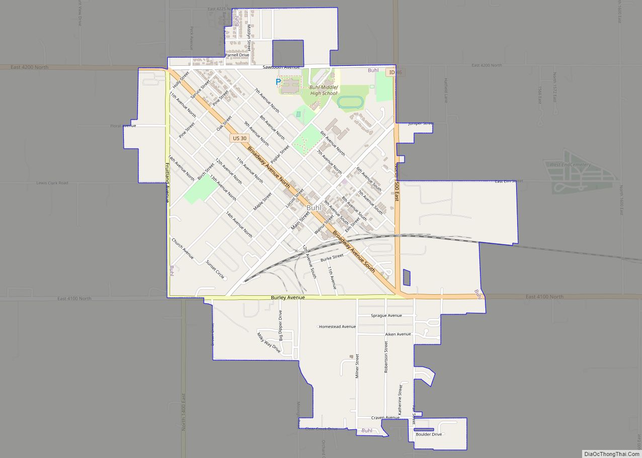
Online Interactive Map
Click on ![]() to view map in "full screen" mode.
to view map in "full screen" mode.
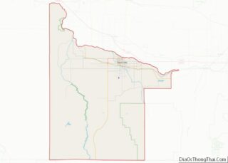
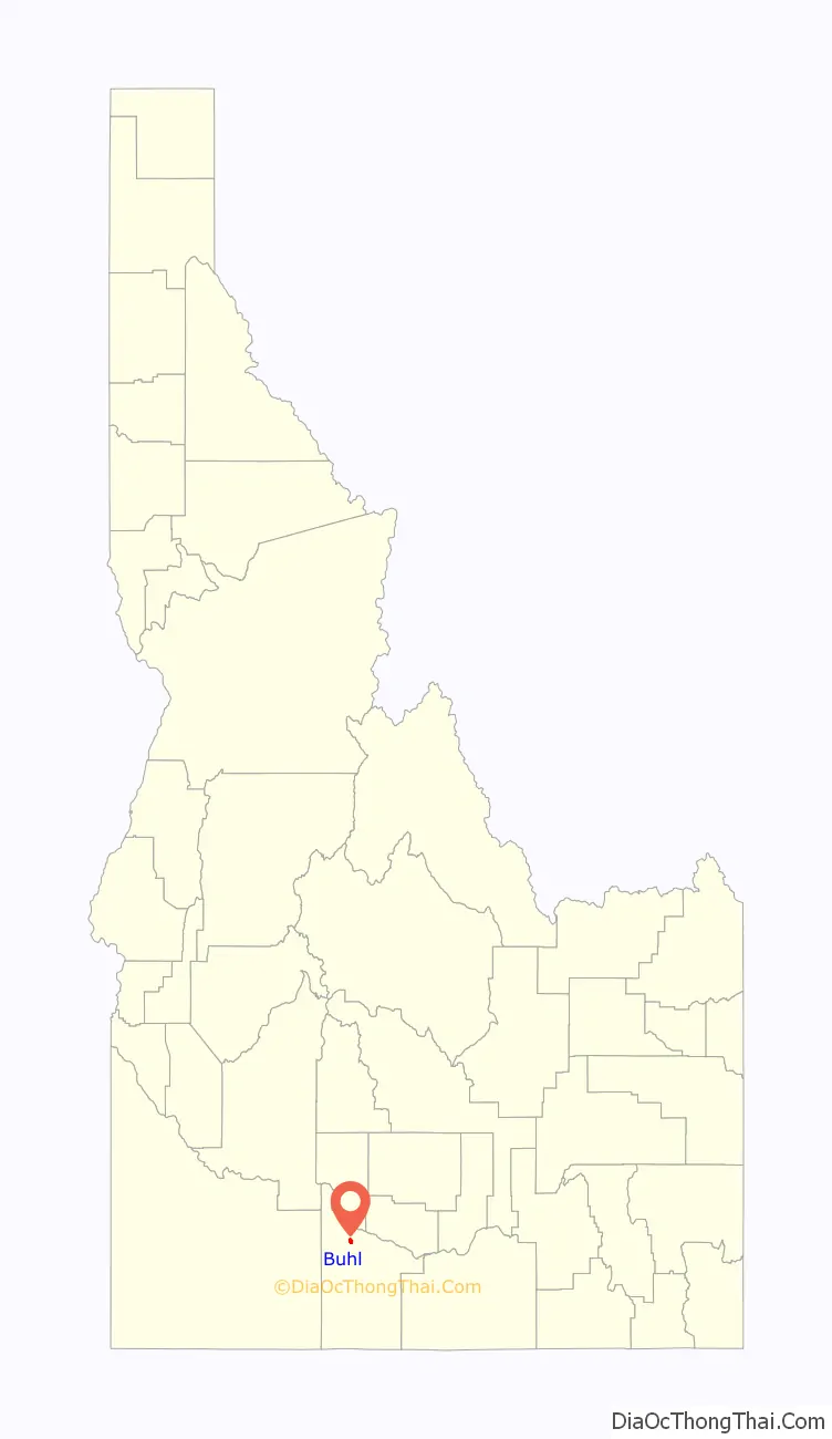
Buhl location map. Where is Buhl city?

History
Buhl was founded on April 17, 1906. It is named for Frank H. Buhl of Sharon, Pennsylvania, a major investor in a Carey Act project known as the Twin Falls South Side Project, which introduced large-scale irrigation to the Magic Valley in the early 20th century.
Buhl was also featured in the X-files, season 6 episode 2, in which Mulder and Scully investigate the shipment of fertilizer to a sugar beet farmer.
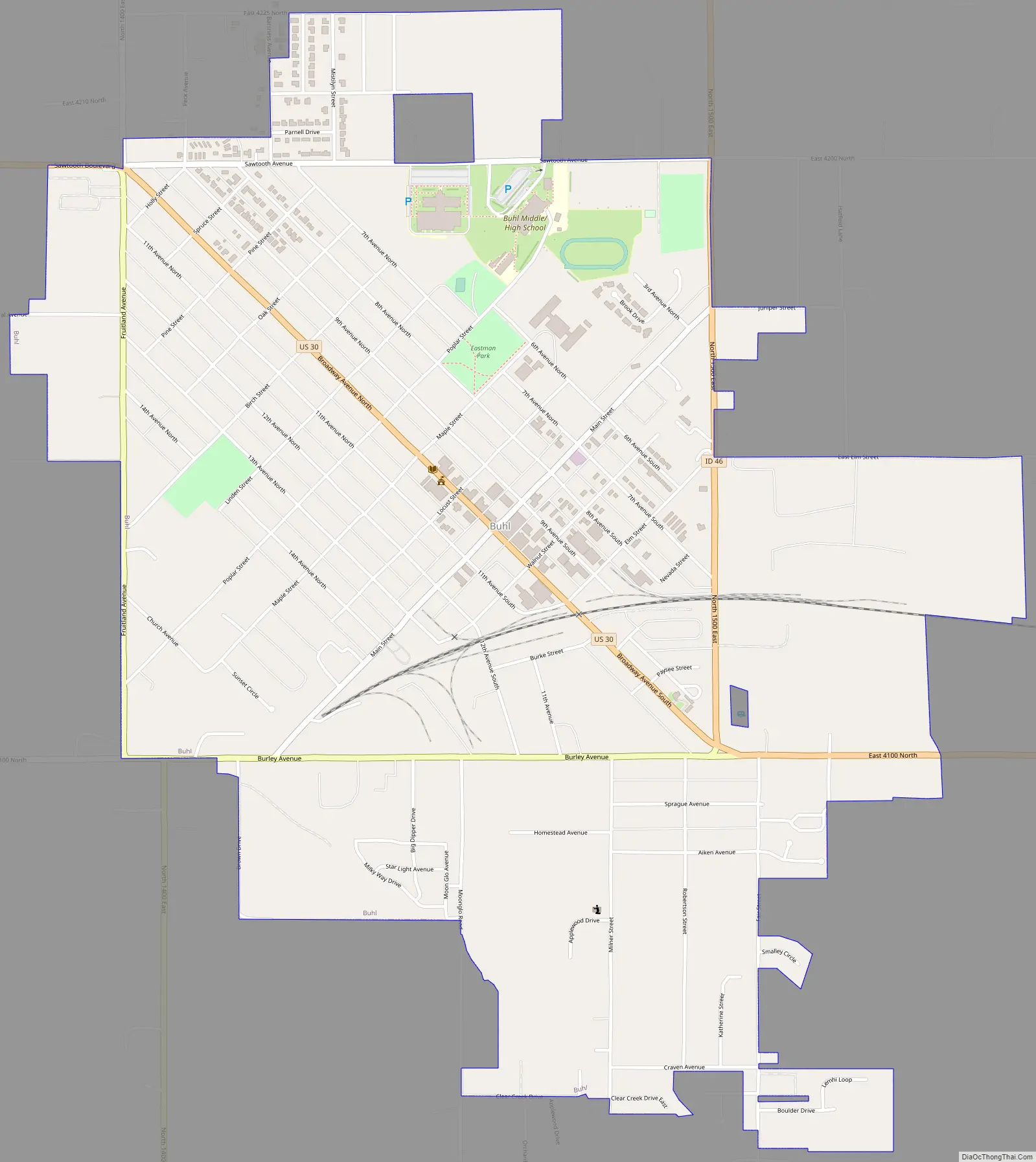
Buhl Road Map
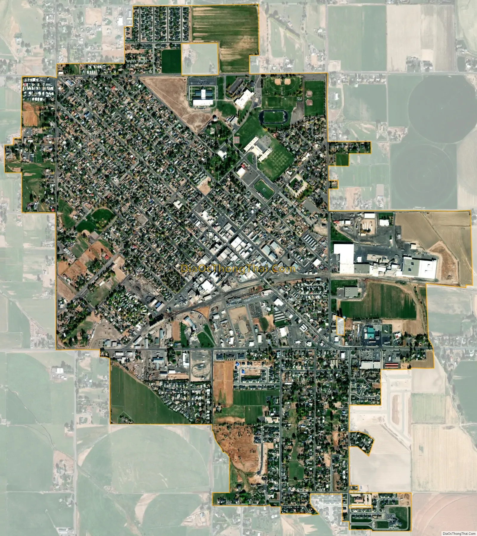
Buhl city Satellite Map
Geography
Buhl is located at 42°36′0″N 114°45′43″W / 42.60000°N 114.76194°W / 42.60000; -114.76194 (42.600102, -114.761867), at an elevation of 3,770 feet (1,149 m) above sea level.
According to the United States Census Bureau, the city has a total area of 1.82 square miles (4.71 km), all of it land.
Climate
According to the Köppen Climate Classification system, Buhl has a semi-arid climate, abbreviated “BSk” on climate maps.
See also
Map of Idaho State and its subdivision:- Ada
- Adams
- Bannock
- Bear Lake
- Benewah
- Bingham
- Blaine
- Boise
- Bonner
- Bonneville
- Boundary
- Butte
- Camas
- Canyon
- Caribou
- Cassia
- Clark
- Clearwater
- Custer
- Elmore
- Franklin
- Fremont
- Gem
- Gooding
- Idaho
- Jefferson
- Jerome
- Kootenai
- Latah
- Lemhi
- Lewis
- Lincoln
- Madison
- Minidoka
- Nez Perce
- Oneida
- Owyhee
- Payette
- Power
- Shoshone
- Teton
- Twin Falls
- Valley
- Washington
- Alabama
- Alaska
- Arizona
- Arkansas
- California
- Colorado
- Connecticut
- Delaware
- District of Columbia
- Florida
- Georgia
- Hawaii
- Idaho
- Illinois
- Indiana
- Iowa
- Kansas
- Kentucky
- Louisiana
- Maine
- Maryland
- Massachusetts
- Michigan
- Minnesota
- Mississippi
- Missouri
- Montana
- Nebraska
- Nevada
- New Hampshire
- New Jersey
- New Mexico
- New York
- North Carolina
- North Dakota
- Ohio
- Oklahoma
- Oregon
- Pennsylvania
- Rhode Island
- South Carolina
- South Dakota
- Tennessee
- Texas
- Utah
- Vermont
- Virginia
- Washington
- West Virginia
- Wisconsin
- Wyoming