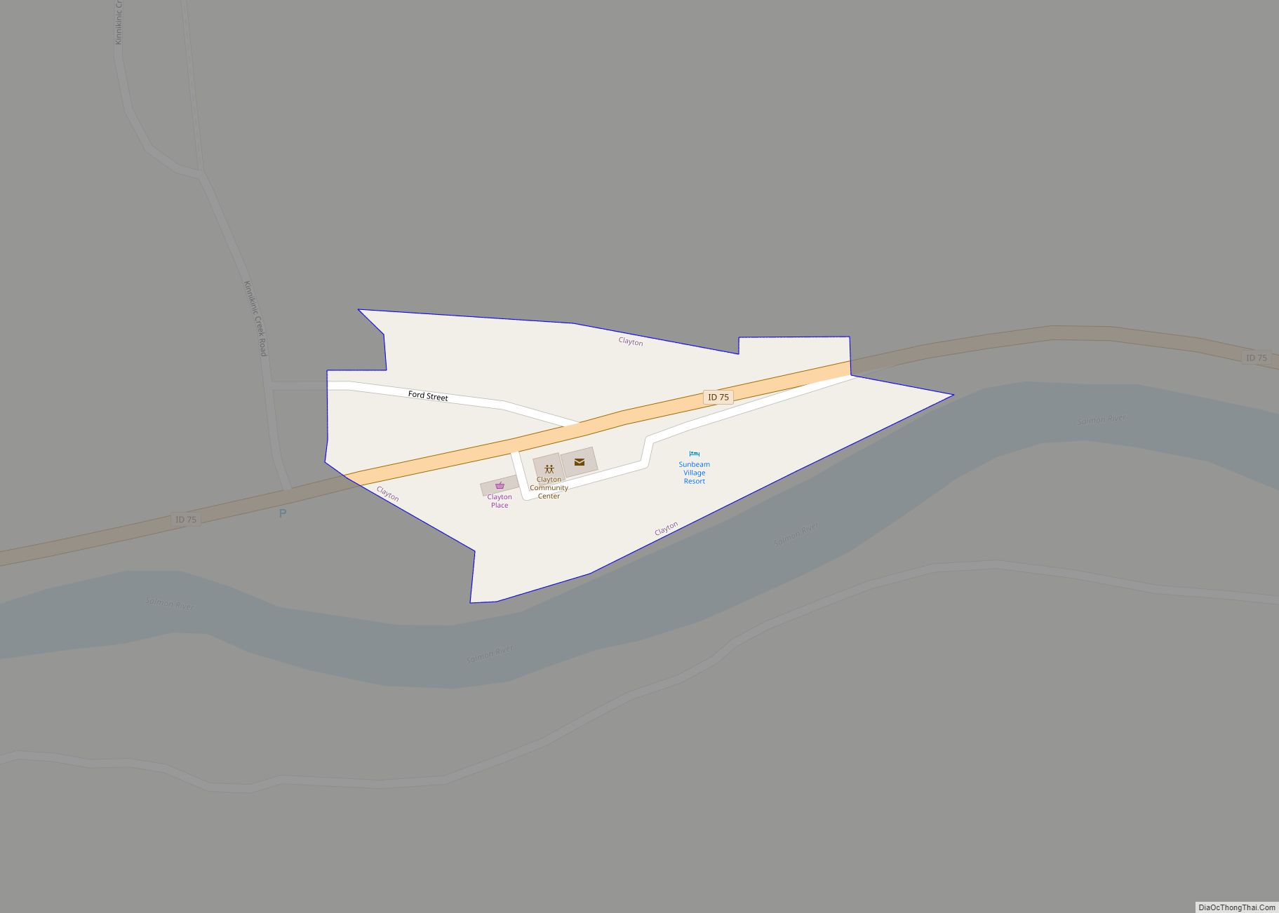
Clayton is a city in Custer County, Idaho, United States. The population was 7 at the 2010 census, down from 27 in 2000. It is adjacent to the Salmon River.
| Name: | Clayton city |
|---|---|
| LSAD Code: | 25 |
| LSAD Description: | city (suffix) |
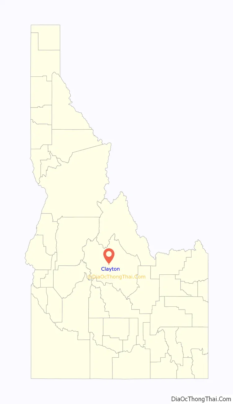
| State: | Idaho |
| County: | Custer County |
| Elevation: | 5,489 ft (1,673 m) |
| Total Area: | 0.01 sq mi (0.03 km²) |
| Land Area: | 0.01 sq mi (0.03 km²) |
| Water Area: | 0.00 sq mi (0.00 km²) |
| Total Population: | 7 |
| Population Density: | 533.33/sq mi (204.95/km²) |
| ZIP code: | 83227 |
| Area code: | 208 |
| FIPS code: | 1615490 |
| GNISfeature ID: | 0396298 |
Online Interactive Map
Click on ![]() to view map in "full screen" mode.
to view map in "full screen" mode.
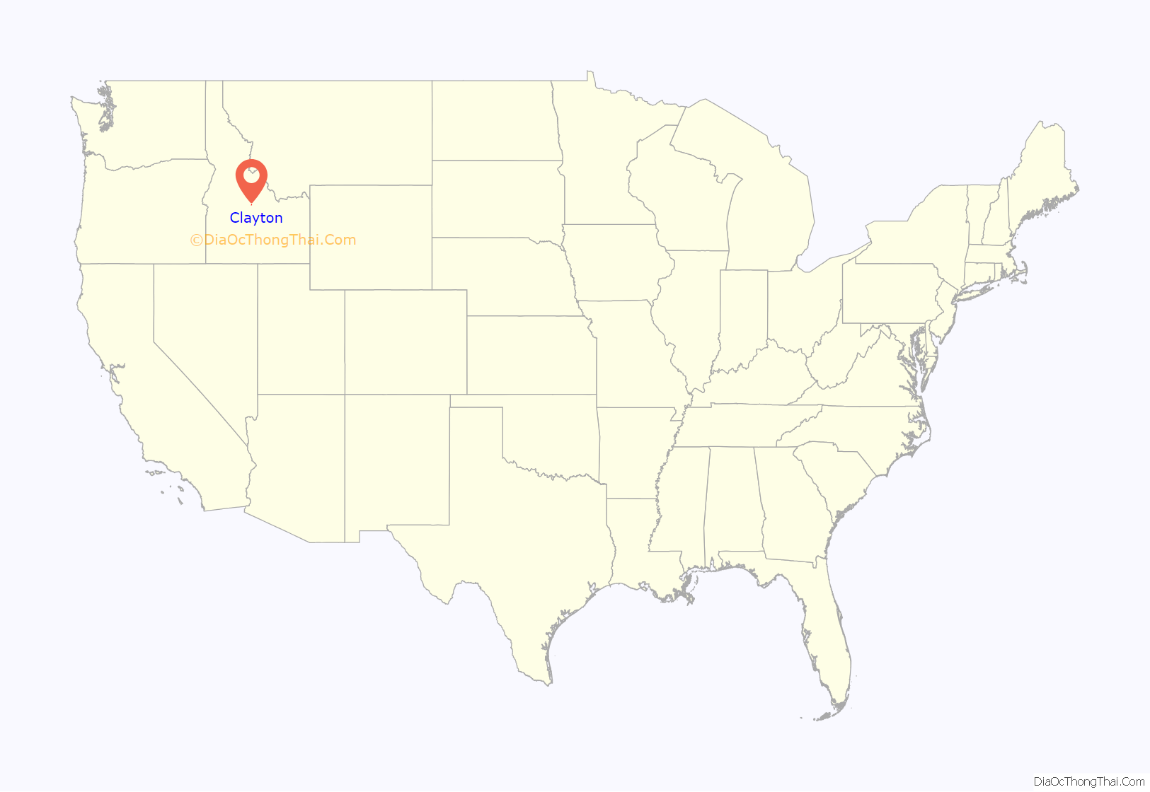
Clayton location map. Where is Clayton city?
History
Clayton was founded in 1881 as a smelter site for the nearby mines.
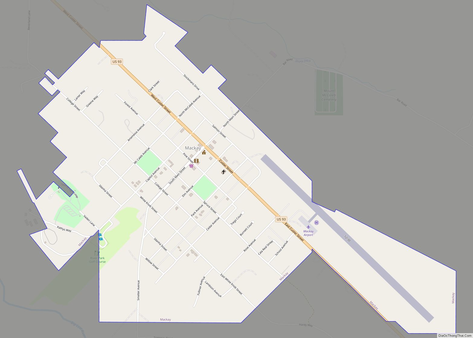
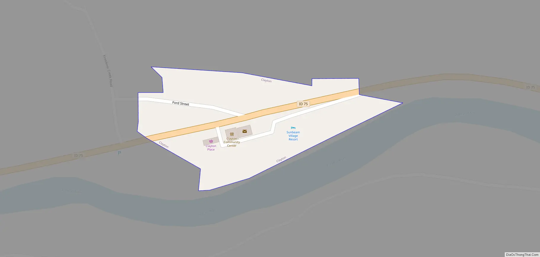
Clayton Road Map
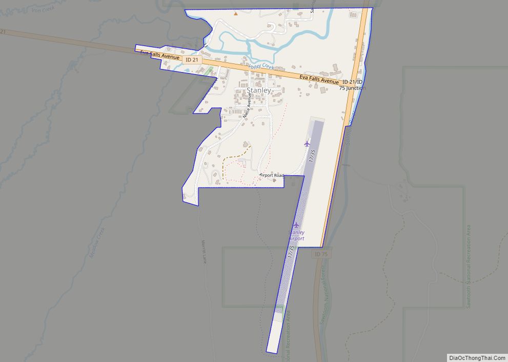
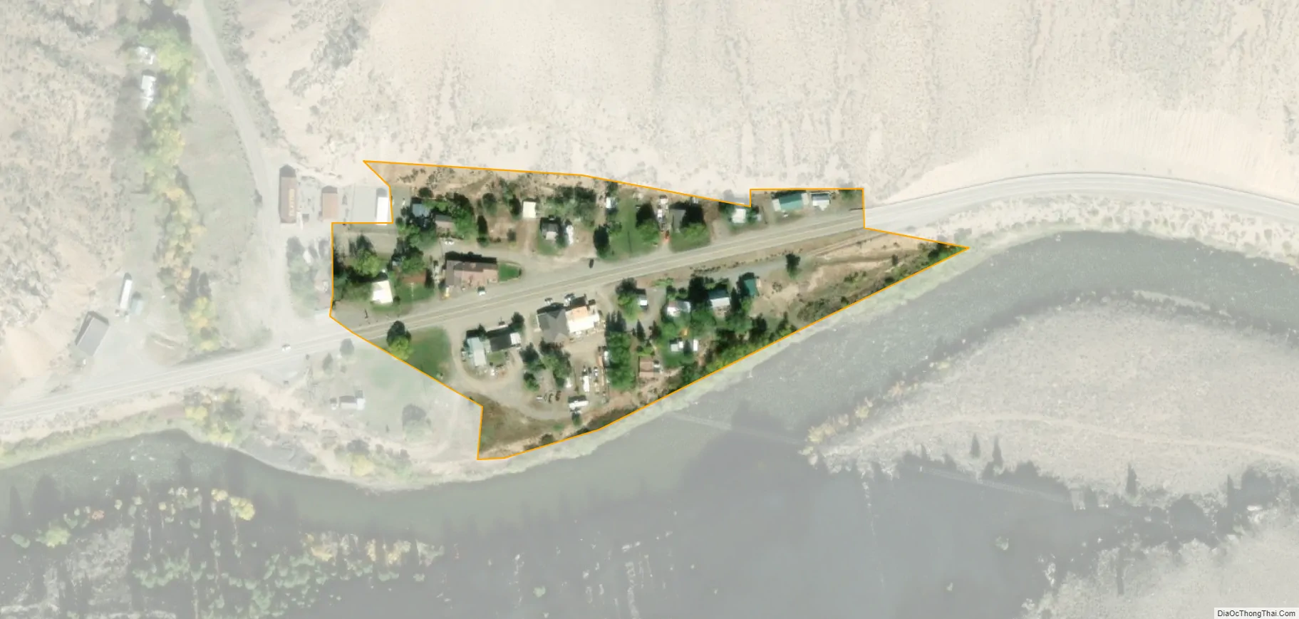
Clayton city Satellite Map
Geography
Clayton is located at 44°15′32″N 114°23′59″W / 44.25889°N 114.39972°W / 44.25889; -114.39972 (44.259014, -114.399725), at an elevation of 5,489 feet (1,673 m) above sea level.
According to the United States Census Bureau, the city has a total area of 0.01 square miles (2.6 ha), all of it land, which makes it the smallest incorporated city of Idaho, and even the smallest incorporated city of the US.
Climate
This climatic region is typified by large seasonal temperature differences, with warm to hot (and often humid) summers and cold (sometimes severely cold) winters. According to the Köppen Climate Classification system, Clayton has a humid continental climate, abbreviated “Dfb” on climate maps.
See also
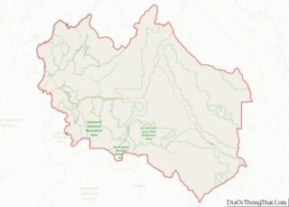
Map of Idaho State and its subdivision:- Ada
- Adams
- Bannock
- Bear Lake
- Benewah
- Bingham
- Blaine
- Boise
- Bonner
- Bonneville
- Boundary
- Butte
- Camas
- Canyon
- Caribou
- Cassia
- Clark
- Clearwater
- Custer
- Elmore
- Franklin
- Fremont
- Gem
- Gooding
- Idaho
- Jefferson
- Jerome
- Kootenai
- Latah
- Lemhi
- Lewis
- Lincoln
- Madison
- Minidoka
- Nez Perce
- Oneida
- Owyhee
- Payette
- Power
- Shoshone
- Teton
- Twin Falls
- Valley
- Washington
- Alabama
- Alaska
- Arizona
- Arkansas
- California
- Colorado
- Connecticut
- Delaware
- District of Columbia
- Florida
- Georgia
- Hawaii
- Idaho
- Illinois
- Indiana
- Iowa
- Kansas
- Kentucky
- Louisiana
- Maine
- Maryland
- Massachusetts
- Michigan
- Minnesota
- Mississippi
- Missouri
- Montana
- Nebraska
- Nevada
- New Hampshire
- New Jersey
- New Mexico
- New York
- North Carolina
- North Dakota
- Ohio
- Oklahoma
- Oregon
- Pennsylvania
- Rhode Island
- South Carolina
- South Dakota
- Tennessee
- Texas
- Utah
- Vermont
- Virginia
- Washington
- West Virginia
- Wisconsin
- Wyoming