Clifton is a city in Franklin County, Idaho, United States. The population was 259 at the 2010 census. It is part of the Logan, Utah-Idaho Metropolitan Statistical Area.
| Name: | Clifton city |
|---|---|
| LSAD Code: | 25 |
| LSAD Description: | city (suffix) |
| State: | Idaho |
| County: | Franklin County |
| Elevation: | 4,852 ft (1,479 m) |
| Total Area: | 2.30 sq mi (5.95 km²) |
| Land Area: | 2.30 sq mi (5.95 km²) |
| Water Area: | 0.00 sq mi (0.00 km²) |
| Total Population: | 259 |
| Population Density: | 132.23/sq mi (51.06/km²) |
| ZIP code: | 83228 |
| Area code: | 208 |
| FIPS code: | 1616120 |
| GNISfeature ID: | 0397557 |
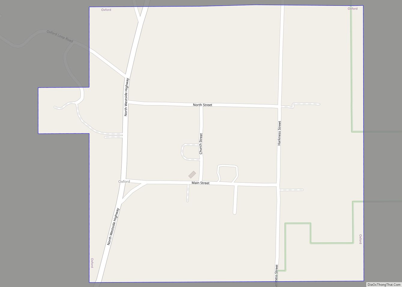
Online Interactive Map
Click on ![]() to view map in "full screen" mode.
to view map in "full screen" mode.
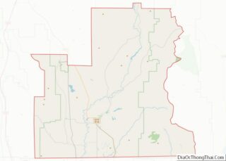
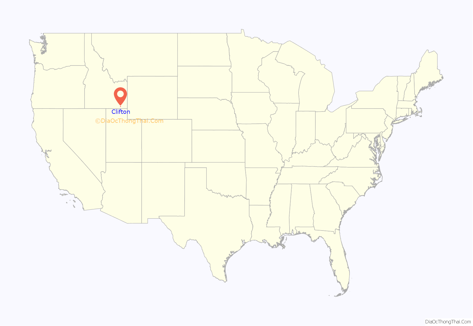
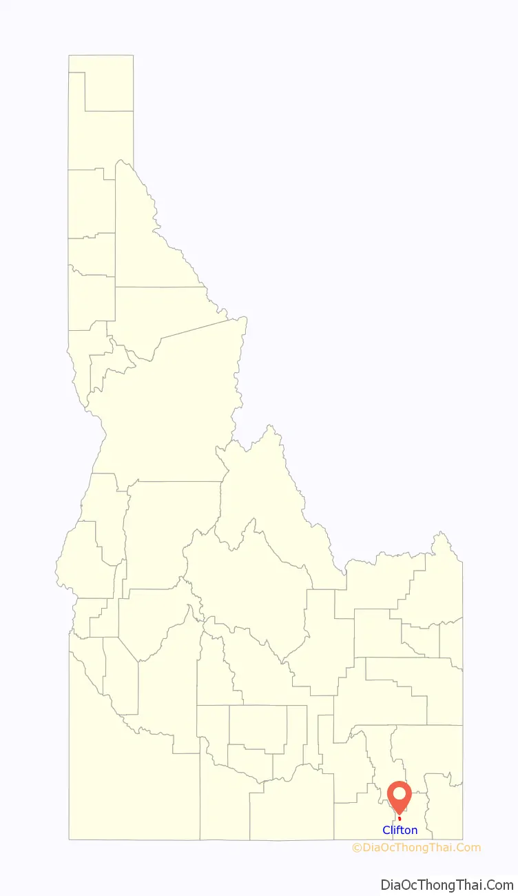
Clifton location map. Where is Clifton city?
History
Clifton was originally settled by Thomas Charles Davis Howell and his sons in the Spring of 1869. A Latter-day Saint branch was organized here with William Jared Pratt as president later that year. A post office was set up in 1870. A ward was organized in 1877.
In 1930 Clifton had a population of 217.
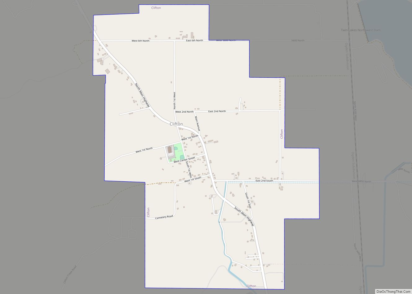
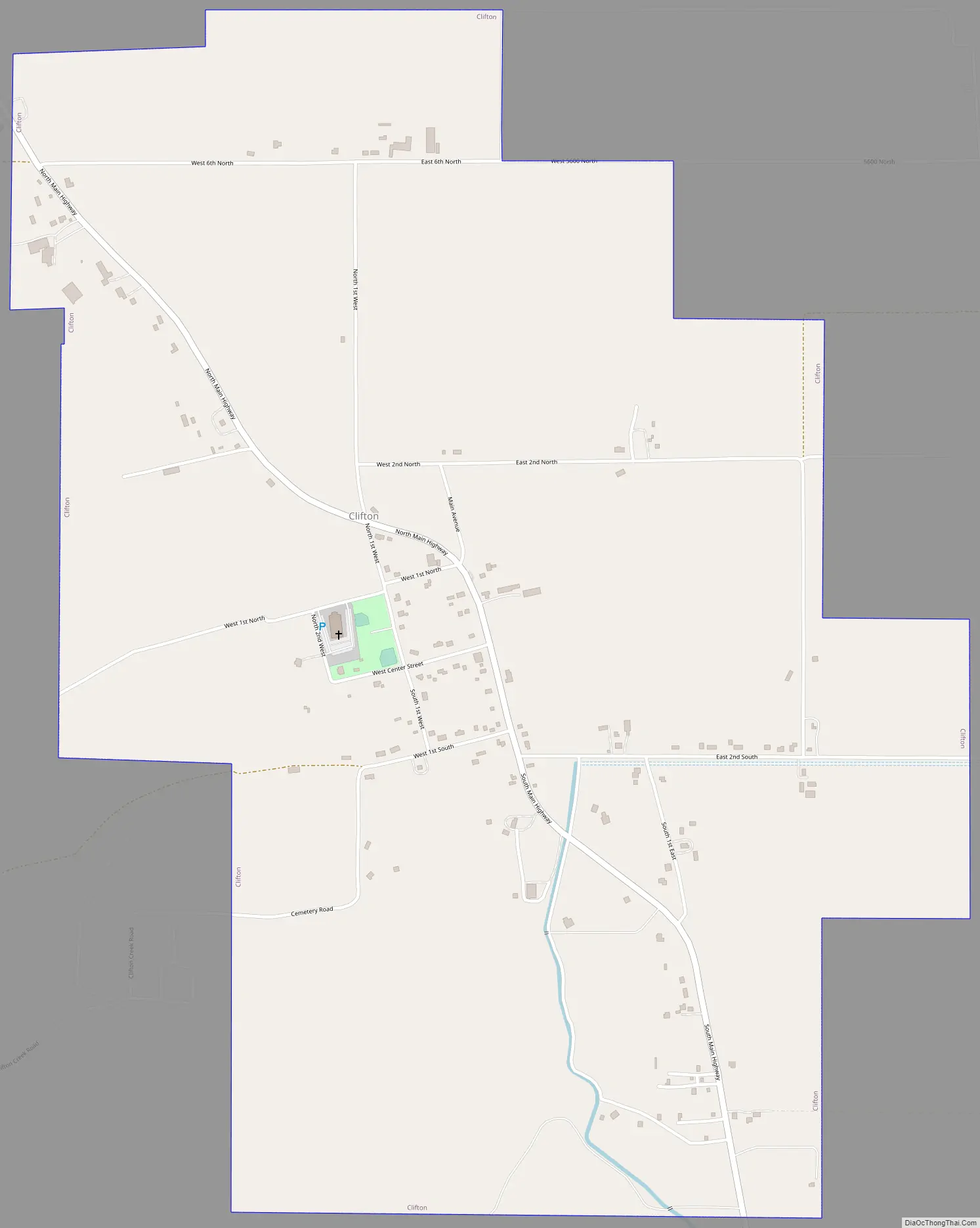
Clifton Road Map
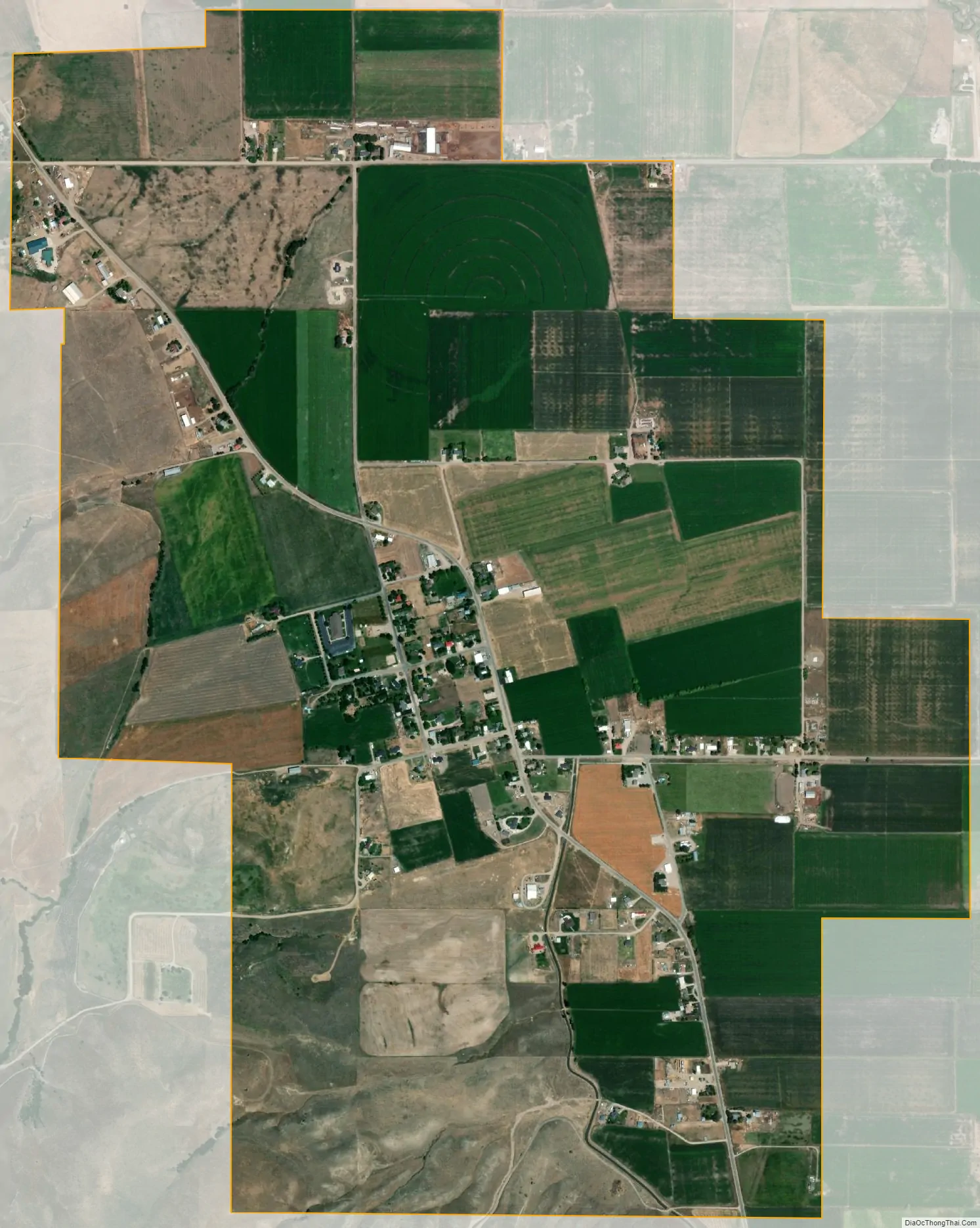
Clifton city Satellite Map
Geography
Clifton is located at 42°11′15″N 112°0′21″W / 42.18750°N 112.00583°W / 42.18750; -112.00583 (42.187585, -112.005856), at 4,860 feet (1,480 m) in elevation.
It lies in the northern end of Cache Valley, at the base of the Bannock Mountain Range.
According to the United States Census Bureau, the city has a total area of 2.25 square miles (5.83 km), all of it land.
See also
Map of Idaho State and its subdivision:- Ada
- Adams
- Bannock
- Bear Lake
- Benewah
- Bingham
- Blaine
- Boise
- Bonner
- Bonneville
- Boundary
- Butte
- Camas
- Canyon
- Caribou
- Cassia
- Clark
- Clearwater
- Custer
- Elmore
- Franklin
- Fremont
- Gem
- Gooding
- Idaho
- Jefferson
- Jerome
- Kootenai
- Latah
- Lemhi
- Lewis
- Lincoln
- Madison
- Minidoka
- Nez Perce
- Oneida
- Owyhee
- Payette
- Power
- Shoshone
- Teton
- Twin Falls
- Valley
- Washington
- Alabama
- Alaska
- Arizona
- Arkansas
- California
- Colorado
- Connecticut
- Delaware
- District of Columbia
- Florida
- Georgia
- Hawaii
- Idaho
- Illinois
- Indiana
- Iowa
- Kansas
- Kentucky
- Louisiana
- Maine
- Maryland
- Massachusetts
- Michigan
- Minnesota
- Mississippi
- Missouri
- Montana
- Nebraska
- Nevada
- New Hampshire
- New Jersey
- New Mexico
- New York
- North Carolina
- North Dakota
- Ohio
- Oklahoma
- Oregon
- Pennsylvania
- Rhode Island
- South Carolina
- South Dakota
- Tennessee
- Texas
- Utah
- Vermont
- Virginia
- Washington
- West Virginia
- Wisconsin
- Wyoming