Declo is a city in Cassia County, Idaho, United States. It is part of the Burley, Idaho micropolitan area. The population was 338 at the time of the 2020 Census, down from 343 in 2010.
| Name: | Declo city |
|---|---|
| LSAD Code: | 25 |
| LSAD Description: | city (suffix) |
| State: | Idaho |
| County: | Cassia County |
| Elevation: | 4,219 ft (1,286 m) |
| Total Area: | 0.28 sq mi (0.72 km²) |
| Land Area: | 0.28 sq mi (0.72 km²) |
| Water Area: | 0.00 sq mi (0.00 km²) |
| Total Population: | 343 |
| Population Density: | 1,332.13/sq mi (514.76/km²) |
| ZIP code: | 83323 |
| Area code: | 208 |
| FIPS code: | 1620980 |
| GNISfeature ID: | 0397613 |
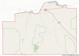
Online Interactive Map
Click on ![]() to view map in "full screen" mode.
to view map in "full screen" mode.
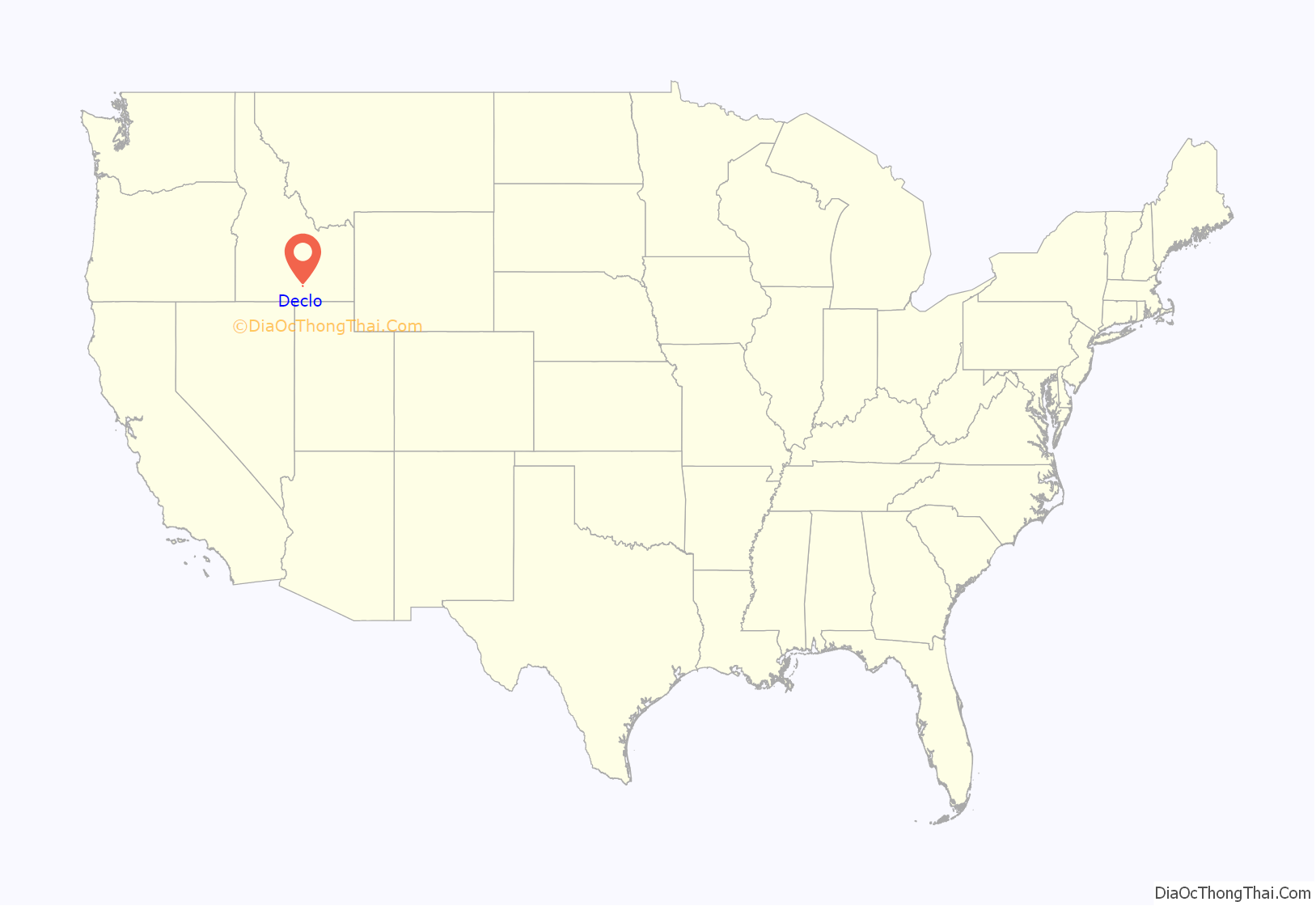
Declo location map. Where is Declo city?
History
The city was originally named Marshfield. In 1916, the name was changed to Declo. The Central Post Office told the community to choose another name not to exceed five letters. the last initials of the first five men to enter the post office were recorded: August Detlef, George Eldredge, Hyrum Lewis, James Cooley, and Carl Osterhout. The Central Post Office said they preferred Declo instead of Delco, and such it was named.
The J. R. Simplot Company was founded in 1923 near Declo by 14-year-old entrepreneur J. R. Simplot, who had moved to the area with his family as a toddler. The corporate headquarters for the company are now located in Boise.
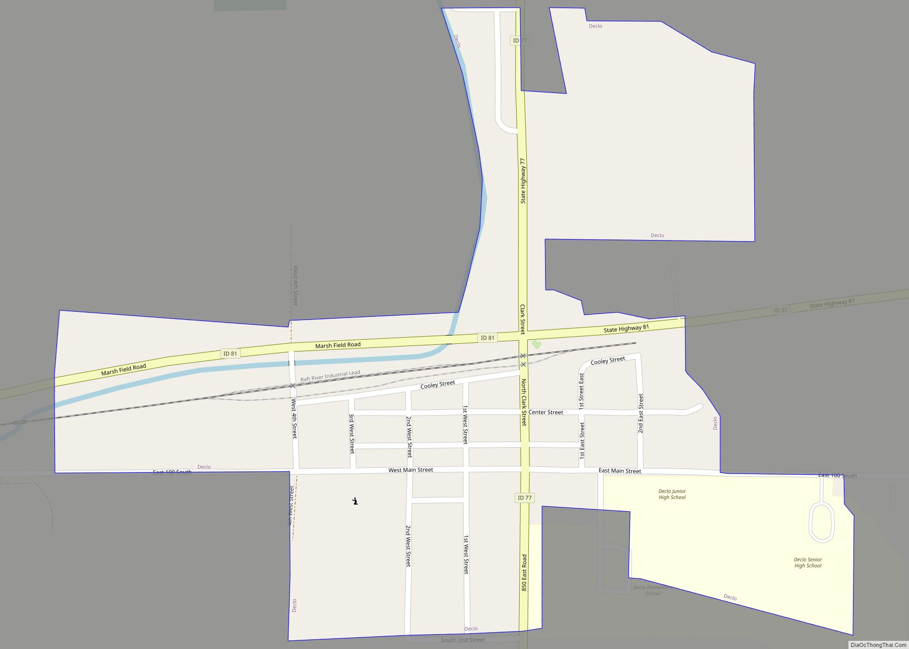
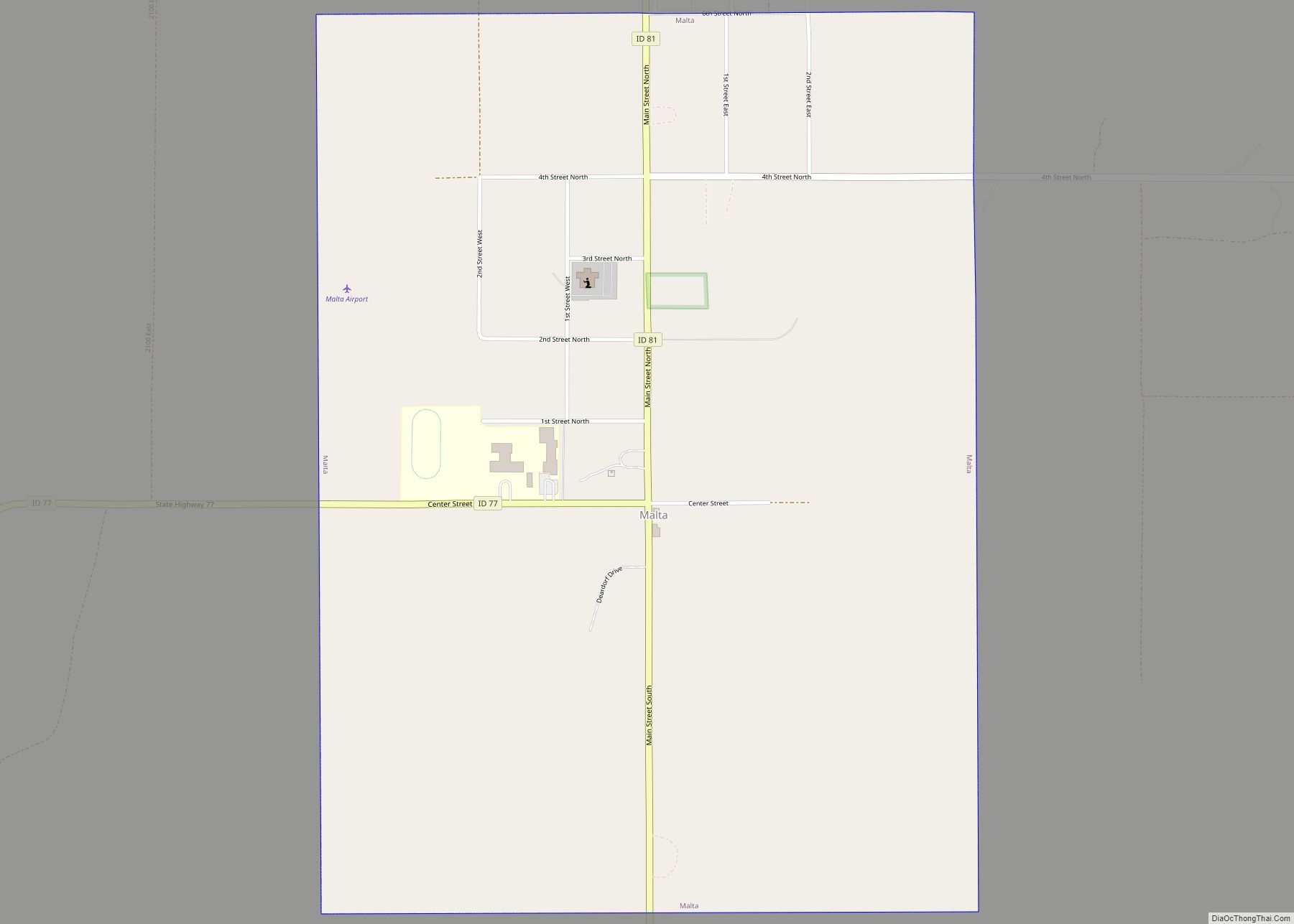
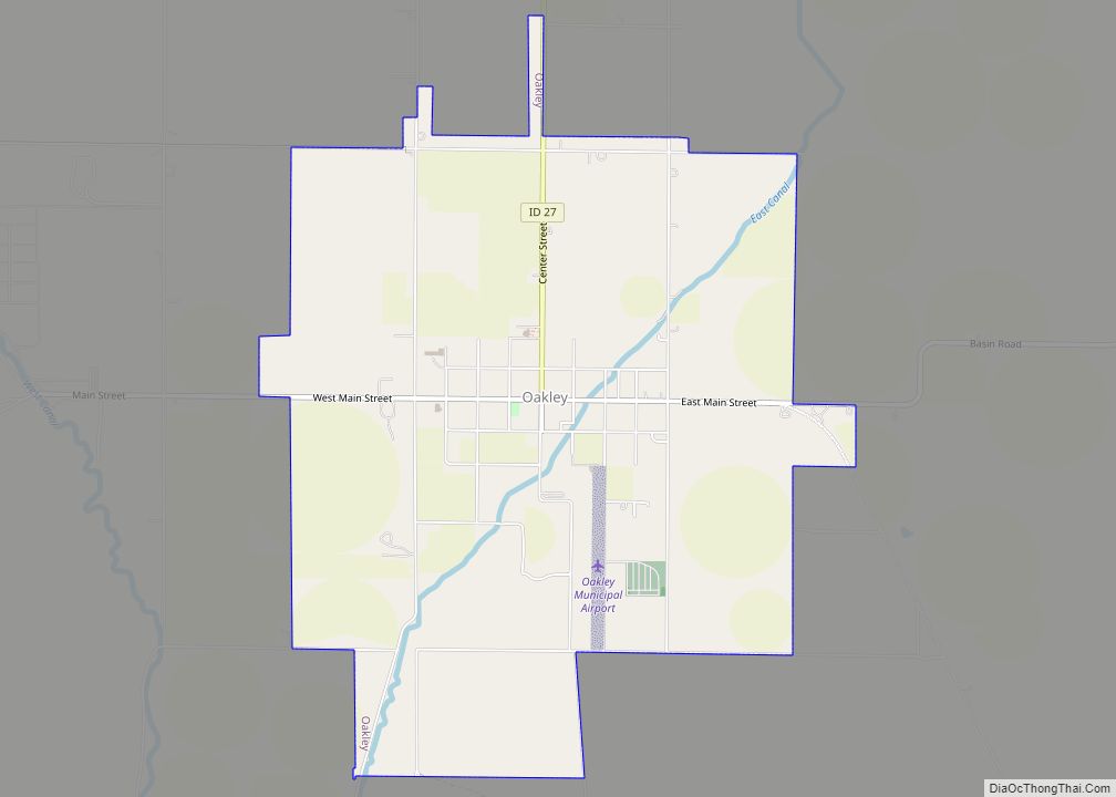
Declo Road Map
Declo city Satellite Map
Geography
Declo is located at 42°31′10″N 113°37′48″W / 42.51944°N 113.63000°W / 42.51944; -113.63000 (42.519441, -113.629978), at an elevation of 4,219 feet (1,286 m) above sea level. According to the United States Census Bureau, the city has a total area of 0.28 square miles (0.73 km), all of it land.
The Hillside Letter “D” can be seen in the southeast (42°17′05″N 113°20′38″W / 42.2847°N 113.3439°W / 42.2847; -113.3439 (Emmett))
Climate
According to the Köppen Climate Classification system, Declo has a semi-arid climate, abbreviated “BSk” on climate maps.
See also
Map of Idaho State and its subdivision:- Ada
- Adams
- Bannock
- Bear Lake
- Benewah
- Bingham
- Blaine
- Boise
- Bonner
- Bonneville
- Boundary
- Butte
- Camas
- Canyon
- Caribou
- Cassia
- Clark
- Clearwater
- Custer
- Elmore
- Franklin
- Fremont
- Gem
- Gooding
- Idaho
- Jefferson
- Jerome
- Kootenai
- Latah
- Lemhi
- Lewis
- Lincoln
- Madison
- Minidoka
- Nez Perce
- Oneida
- Owyhee
- Payette
- Power
- Shoshone
- Teton
- Twin Falls
- Valley
- Washington
- Alabama
- Alaska
- Arizona
- Arkansas
- California
- Colorado
- Connecticut
- Delaware
- District of Columbia
- Florida
- Georgia
- Hawaii
- Idaho
- Illinois
- Indiana
- Iowa
- Kansas
- Kentucky
- Louisiana
- Maine
- Maryland
- Massachusetts
- Michigan
- Minnesota
- Mississippi
- Missouri
- Montana
- Nebraska
- Nevada
- New Hampshire
- New Jersey
- New Mexico
- New York
- North Carolina
- North Dakota
- Ohio
- Oklahoma
- Oregon
- Pennsylvania
- Rhode Island
- South Carolina
- South Dakota
- Tennessee
- Texas
- Utah
- Vermont
- Virginia
- Washington
- West Virginia
- Wisconsin
- Wyoming
