Kooskia (/ˈkuːskiː/ KOO-skee) is a city in Idaho County, Idaho, United States. It is at the confluence of the South and Middle forks of the Clearwater River, combining to become the main river. The population was 607 at the 2010 census, down from 675 in 2000.
| Name: | Kooskia city |
|---|---|
| LSAD Code: | 25 |
| LSAD Description: | city (suffix) |
| State: | Idaho |
| County: | Idaho County |
| Elevation: | 1,293 ft (394 m) |
| Total Area: | 0.69 sq mi (1.78 km²) |
| Land Area: | 0.63 sq mi (1.64 km²) |
| Water Area: | 0.06 sq mi (0.15 km²) |
| Total Population: | 607 |
| Population Density: | 1,048.97/sq mi (405.30/km²) |
| ZIP code: | 83539 |
| Area code: | 208 |
| FIPS code: | 1644110 |
| GNISfeature ID: | 0399948 |
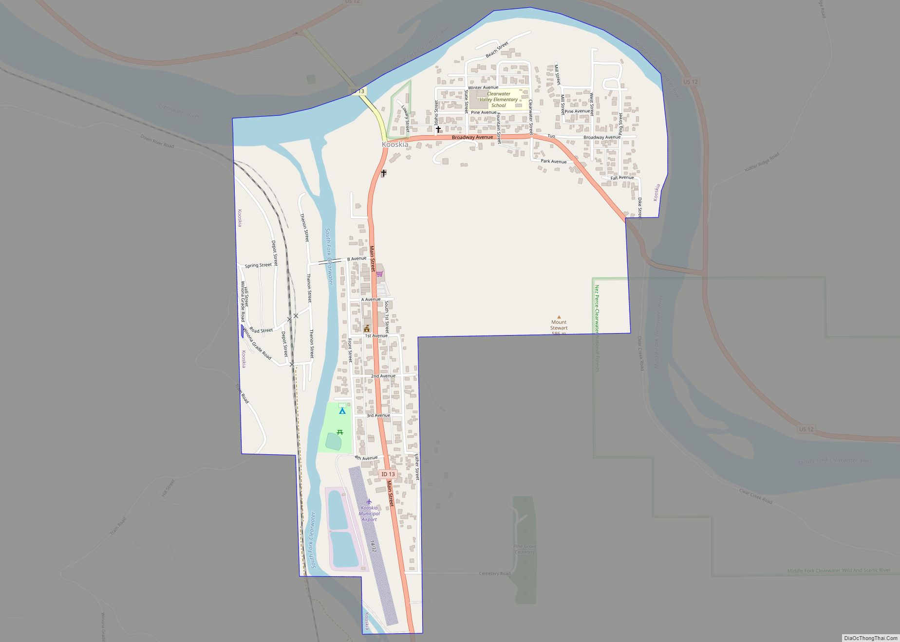
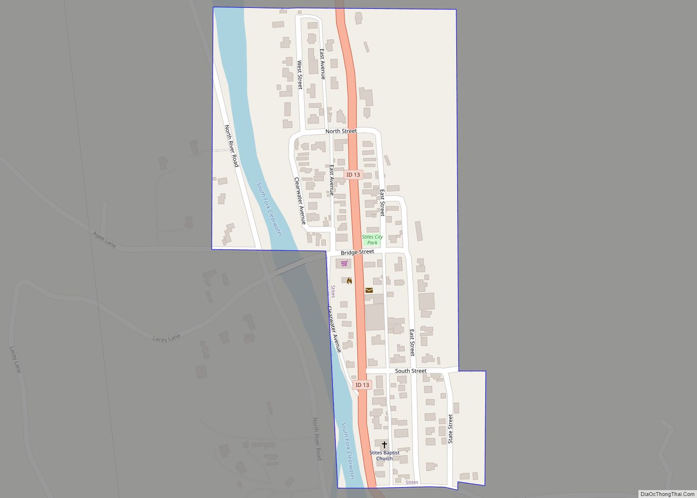
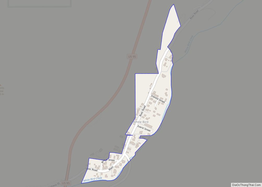
Online Interactive Map
Click on ![]() to view map in "full screen" mode.
to view map in "full screen" mode.
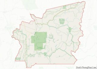
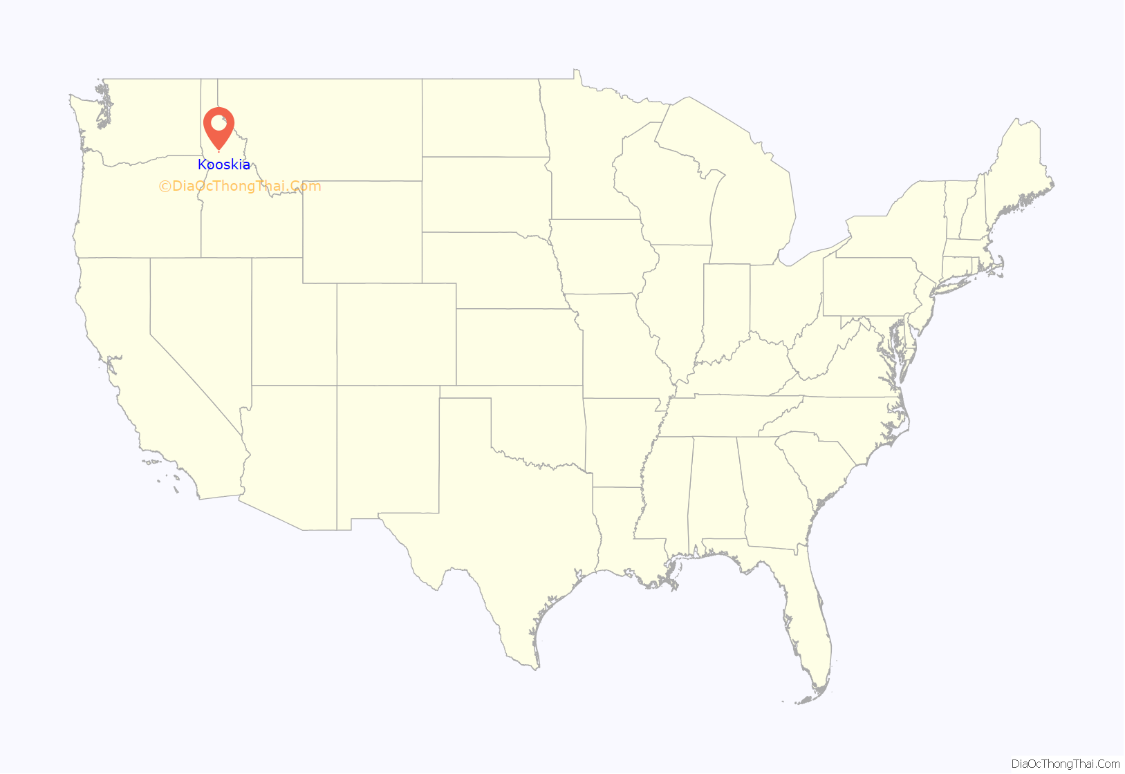
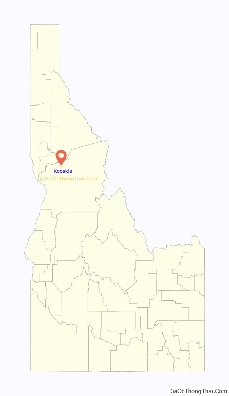
Kooskia location map. Where is Kooskia city?
History
Chief Looking Glass lived in a village a short distance above what is now Kooskia with his band of Nez Perce. This regular home was well within the boundaries of the reservation created in 1863, but just before the Nez Perce War an American General was sent to arrest Chief Looking Glass and all other Nez Perce with him. When trigger-happy militiamen opened fire into the village, many Nez Perce died and their village was destroyed in the scuffle. Because of this incident, Looking Glass joined with the Nez Perce for the Nez Perce War.
The name of the town is likely a contraction of the Nez Perce word “koos-koos-kia,” a diminutive which refers to the Clearwater River, the lesser of the two large rivers in the vicinity, the other being the Snake. The town was first named Stuart, after James Stuart (1863–1929), a Nez Perce surveyor and merchant. The railroad arrived in 1899 and named its station “Kooskia,” because there already was a railroad station named “Stuart” in the state. The town went by both names for the next decade until it was formally renamed in 1909.
Kooskia is within the Nez Perce Indian Reservation. Similar to the opening of lands in Oklahoma several years earlier, the U.S. government opened the reservation for white settlement in November 1895. The proclamation had been signed less than two weeks earlier by President Cleveland.
Tramway
Starting in 1903, Kooskia was the terminus of an aerial tramway from the elevated Camas Prairie. It carried up to 190,000 lb (86,000 kg) of grain per day in its thirty buckets and warehouse facilities were present at both ends of the cable line, with a combined capacity of 100,000 US bushels (120,000 cu ft; 3,500 m).
Following the completion of the Camas Prairie Railroad’s second subdivision to Grangeville in 1909, the tramway gradually lost patronage and was discontinued in 1939. It climbed west-southwest toward Lowe (later Winona); some older maps listed Kooskia as “Tramway.” It experienced a significant accident in 1907 due to cable failure, fortunately without fatalities.
Kooskia Internment Camp
During the final two years of World War II, the Kooskia Internment Camp was located about thirty miles (50 km) northeast of the town. Originally a remote highway work camp of the Civilian Conservation Corps in the 1930s, it was later run by the Federal Bureau of Prisons and then converted in 1943 to house interned Japanese men, most of whom were longtime U.S. residents, but not citizens, branded “enemy aliens.” It was so remote in the western Bitterroot Mountains that fences and guard towers were unnecessary. The site, now an archaeological project, is six miles (10 km) northeast of Lowell on U.S. 12, on the north bank of the Lochsa River.
Kooskia National Fish Hatchery
The Kooskia National Fish Hatchery was established in the 1960s, about 1.5 miles (2.4 km) southeast of the city on the east bank of Clear Creek. (46°07′48″N 115°56′49″W / 46.13°N 115.947°W / 46.13; -115.947)
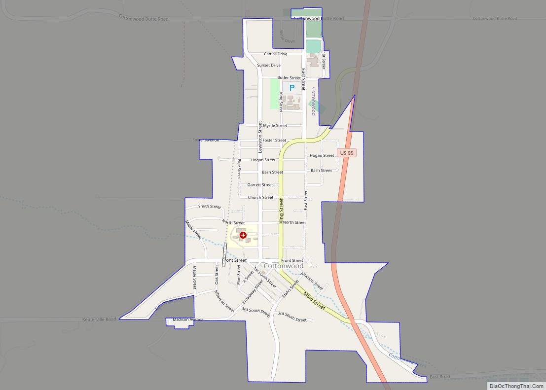
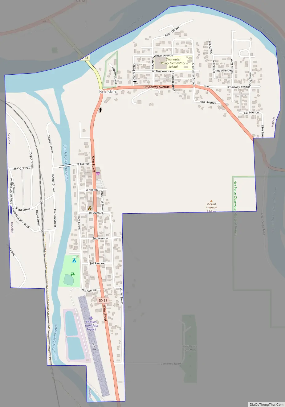
Kooskia Road Map
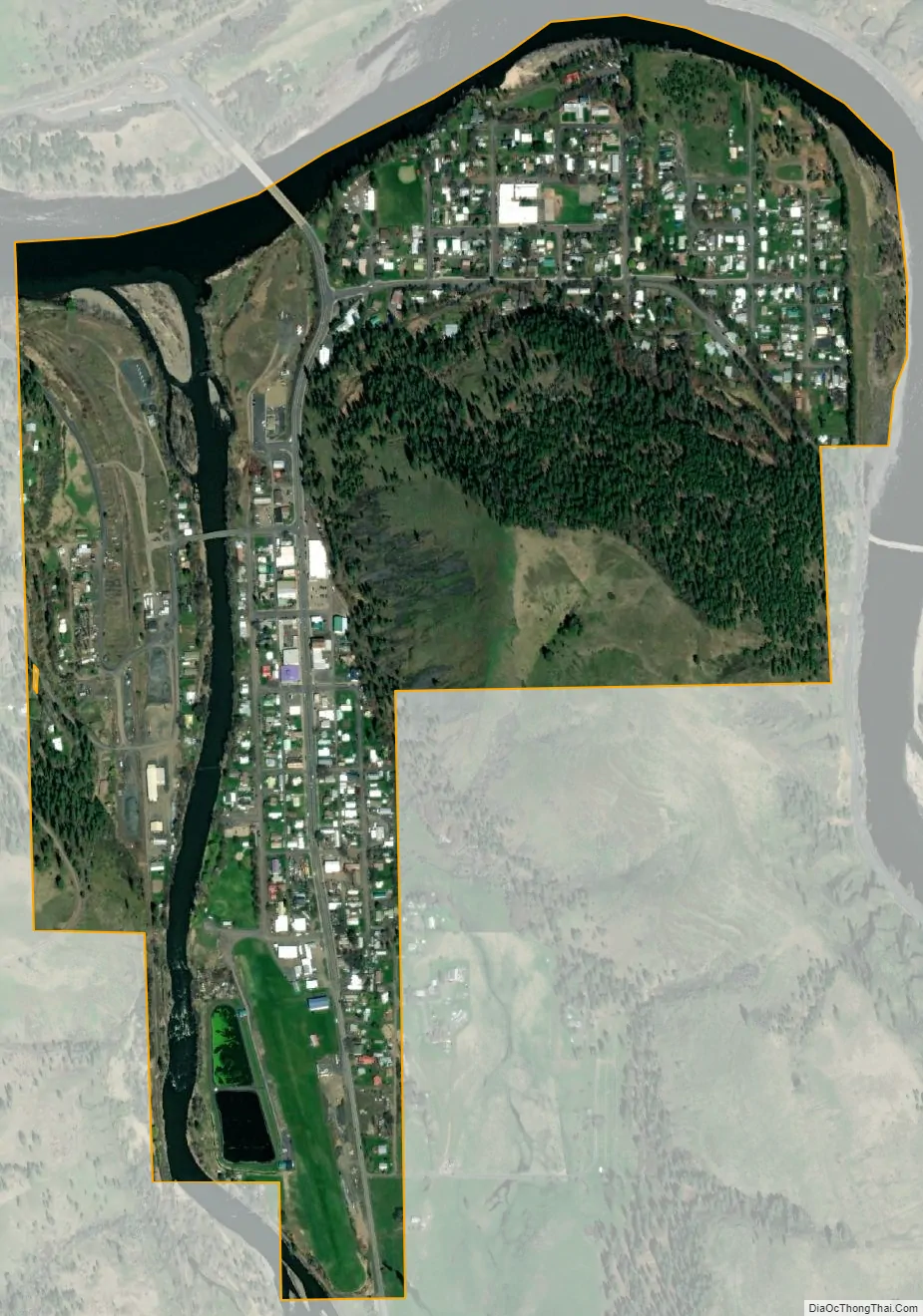
Kooskia city Satellite Map
Geography
Kooskia is located at 46°8′30″N 115°58′47″W / 46.14167°N 115.97972°W / 46.14167; -115.97972 (46.139, -115.979), at an elevation of 1,293 feet (394 m) [above sea level.
According to the United States Census Bureau, the city has a total area of 0.69 square miles (1.79 km), of which, 0.65 square miles (1.68 km) is land and 0.04 square miles (0.10 km) is water.
See also
Map of Idaho State and its subdivision:- Ada
- Adams
- Bannock
- Bear Lake
- Benewah
- Bingham
- Blaine
- Boise
- Bonner
- Bonneville
- Boundary
- Butte
- Camas
- Canyon
- Caribou
- Cassia
- Clark
- Clearwater
- Custer
- Elmore
- Franklin
- Fremont
- Gem
- Gooding
- Idaho
- Jefferson
- Jerome
- Kootenai
- Latah
- Lemhi
- Lewis
- Lincoln
- Madison
- Minidoka
- Nez Perce
- Oneida
- Owyhee
- Payette
- Power
- Shoshone
- Teton
- Twin Falls
- Valley
- Washington
- Alabama
- Alaska
- Arizona
- Arkansas
- California
- Colorado
- Connecticut
- Delaware
- District of Columbia
- Florida
- Georgia
- Hawaii
- Idaho
- Illinois
- Indiana
- Iowa
- Kansas
- Kentucky
- Louisiana
- Maine
- Maryland
- Massachusetts
- Michigan
- Minnesota
- Mississippi
- Missouri
- Montana
- Nebraska
- Nevada
- New Hampshire
- New Jersey
- New Mexico
- New York
- North Carolina
- North Dakota
- Ohio
- Oklahoma
- Oregon
- Pennsylvania
- Rhode Island
- South Carolina
- South Dakota
- Tennessee
- Texas
- Utah
- Vermont
- Virginia
- Washington
- West Virginia
- Wisconsin
- Wyoming