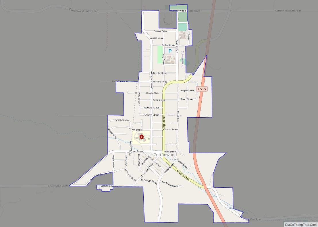
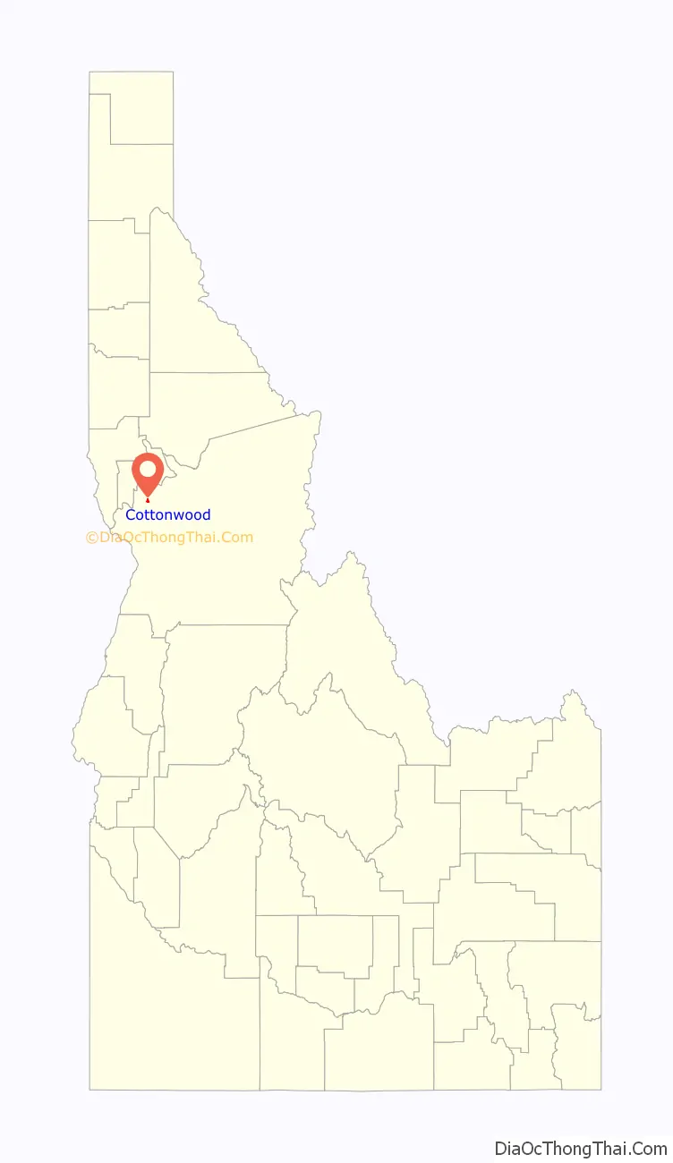
Cottonwood is a city in Idaho County, Idaho. On the Camas Prairie in north central Idaho, the population was 900 at the 2010 census, down from 944 in 2000. It is just west of U.S. Route 95, between Grangeville and Lewiston.
| Name: | Cottonwood city |
|---|---|
| LSAD Code: | 25 |
| LSAD Description: | city (suffix) |
| State: | Idaho |
| County: | Idaho County |
| Elevation: | 3,497 ft (1,066 m) |
| Total Area: | 0.84 sq mi (2.17 km²) |
| Land Area: | 0.84 sq mi (2.17 km²) |
| Water Area: | 0.00 sq mi (0.00 km²) |
| Total Population: | 900 |
| Population Density: | 1,120.38/sq mi (432.45/km²) |
| ZIP code: | 83522 |
| Area code: | 208 |
| FIPS code: | 1618640 |
| GNISfeature ID: | 0372152 |
Online Interactive Map
Click on ![]() to view map in "full screen" mode.
to view map in "full screen" mode.
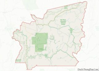
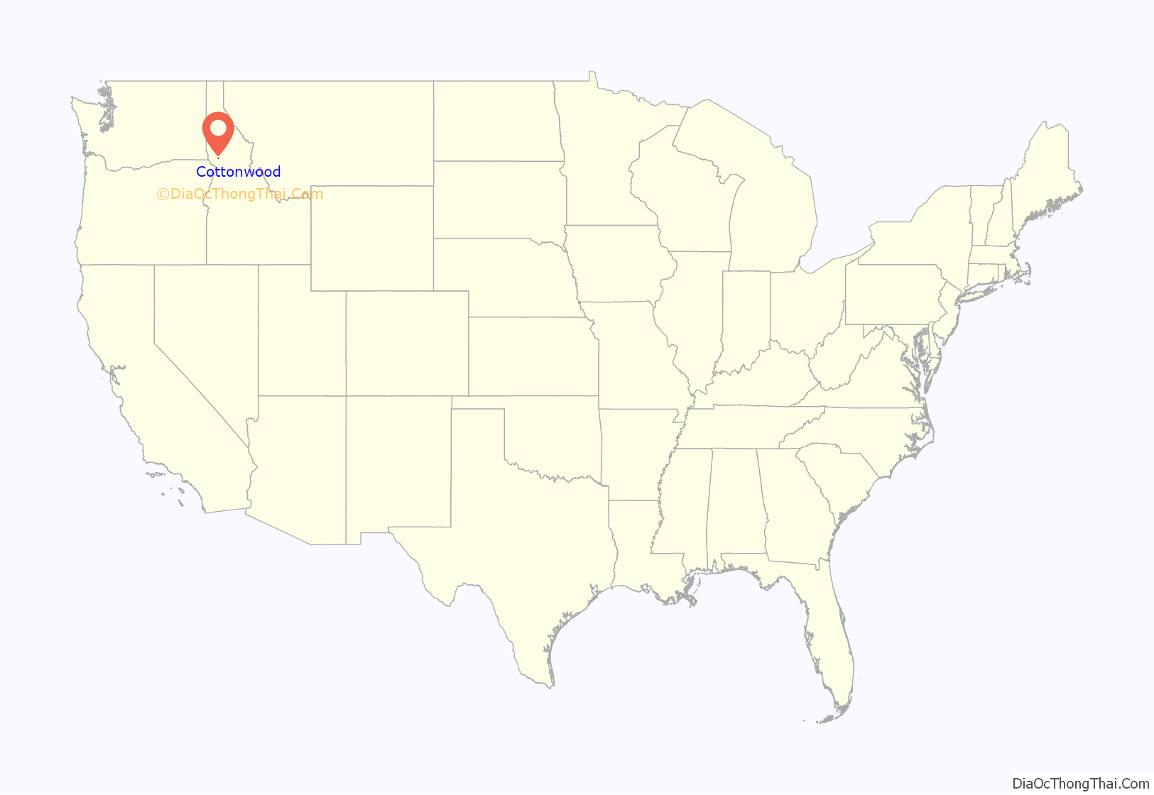
Cottonwood location map. Where is Cottonwood city?
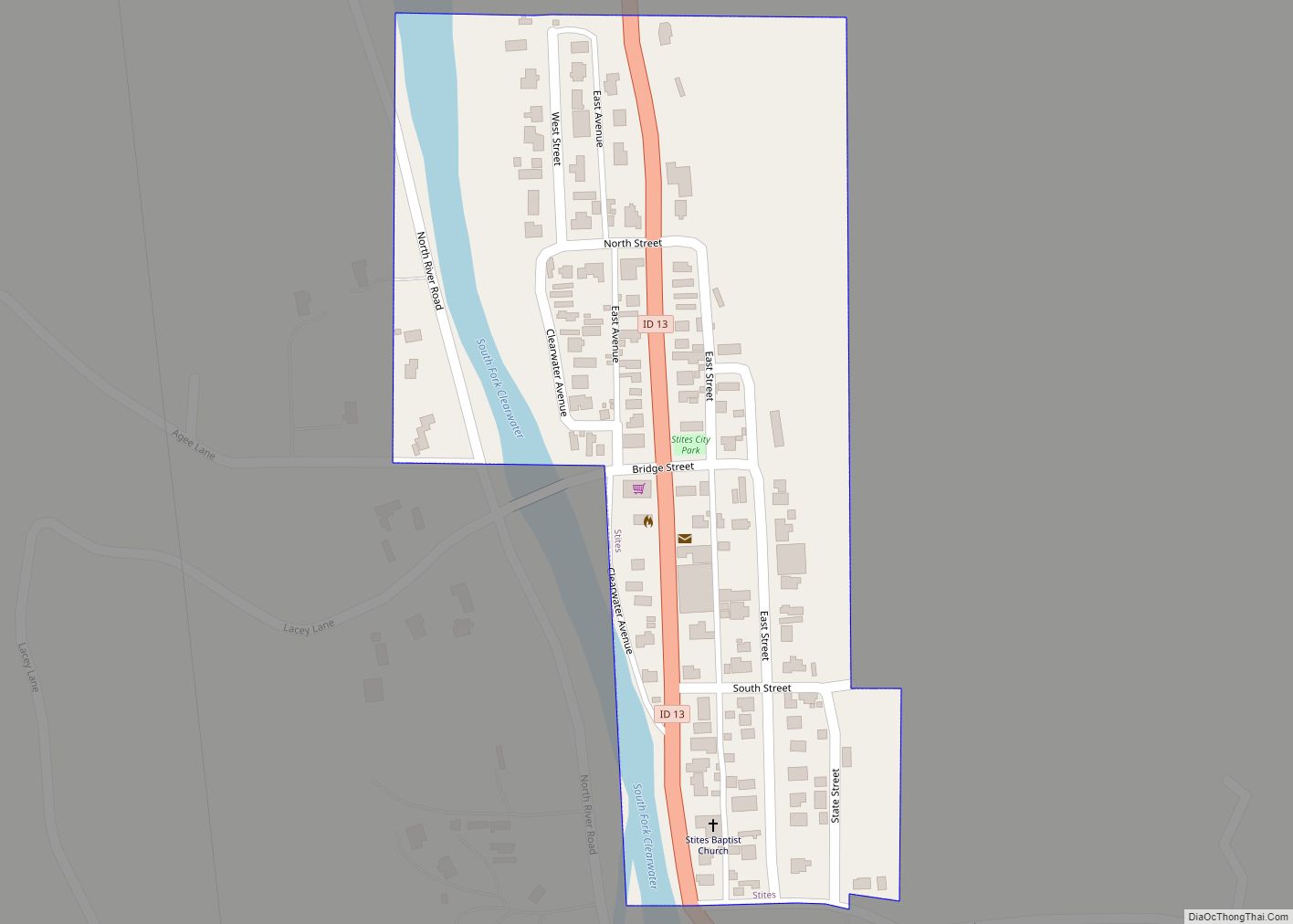
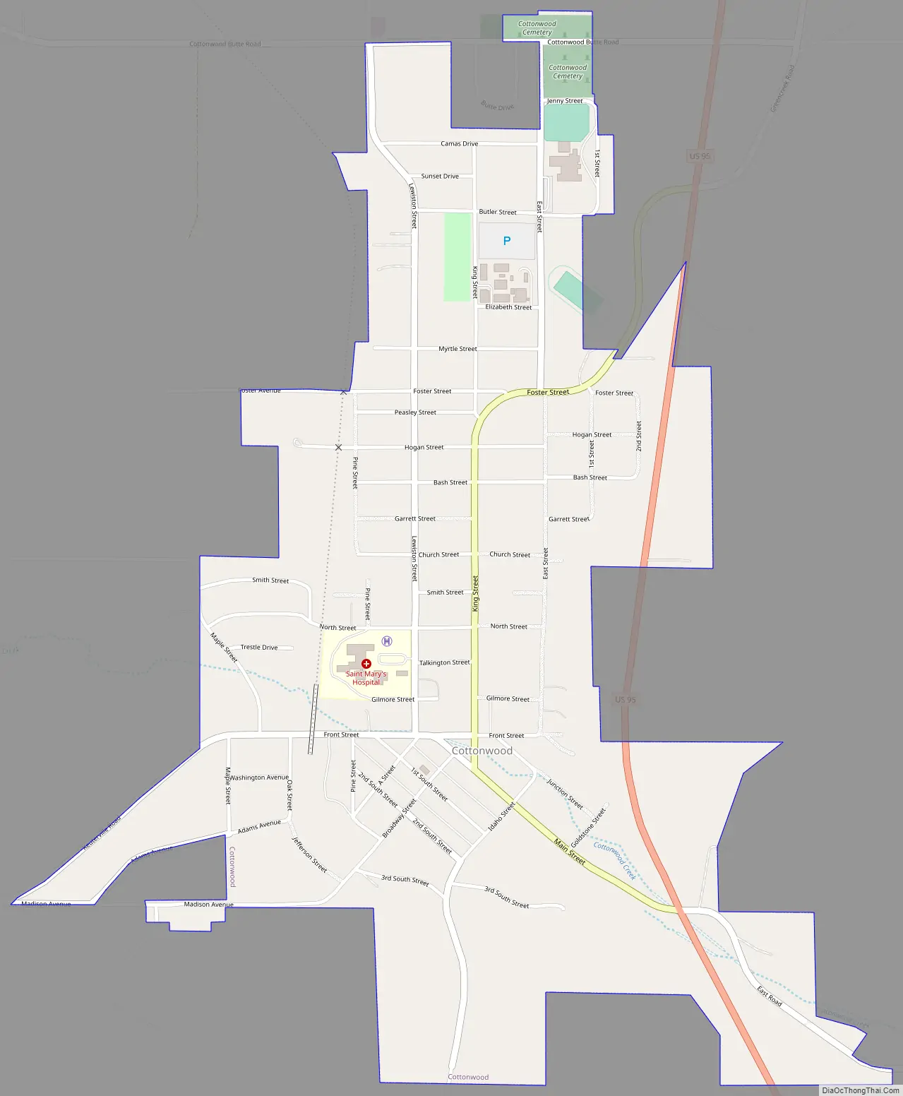
Cottonwood Road Map
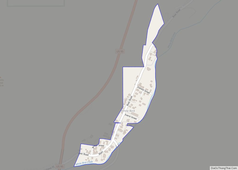
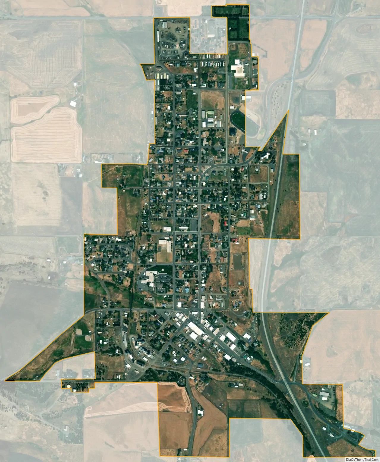
Cottonwood city Satellite Map
Geography
Cottonwood is located at 46°3′8″N 116°21′2″W / 46.05222°N 116.35056°W / 46.05222; -116.35056 (46.0522, -116.3506). at an elevation of 3,500 feet (1,070 m) above sea level.
According to the United States Census Bureau, the city has a total area of 0.84 square miles (2.18 km), all of it land.
Cottonwood is home to the Dog Bark Park Inn, a hotel in the shape of a beagle.
Climate
The climate in this area has mild differences between highs and lows, and there is adequate rainfall year-round. According to the Köppen Climate Classification system, Cottonwood has a marine west coast climate, abbreviated “Cfb” on climate maps.
See also
Map of Idaho State and its subdivision:- Ada
- Adams
- Bannock
- Bear Lake
- Benewah
- Bingham
- Blaine
- Boise
- Bonner
- Bonneville
- Boundary
- Butte
- Camas
- Canyon
- Caribou
- Cassia
- Clark
- Clearwater
- Custer
- Elmore
- Franklin
- Fremont
- Gem
- Gooding
- Idaho
- Jefferson
- Jerome
- Kootenai
- Latah
- Lemhi
- Lewis
- Lincoln
- Madison
- Minidoka
- Nez Perce
- Oneida
- Owyhee
- Payette
- Power
- Shoshone
- Teton
- Twin Falls
- Valley
- Washington
- Alabama
- Alaska
- Arizona
- Arkansas
- California
- Colorado
- Connecticut
- Delaware
- District of Columbia
- Florida
- Georgia
- Hawaii
- Idaho
- Illinois
- Indiana
- Iowa
- Kansas
- Kentucky
- Louisiana
- Maine
- Maryland
- Massachusetts
- Michigan
- Minnesota
- Mississippi
- Missouri
- Montana
- Nebraska
- Nevada
- New Hampshire
- New Jersey
- New Mexico
- New York
- North Carolina
- North Dakota
- Ohio
- Oklahoma
- Oregon
- Pennsylvania
- Rhode Island
- South Carolina
- South Dakota
- Tennessee
- Texas
- Utah
- Vermont
- Virginia
- Washington
- West Virginia
- Wisconsin
- Wyoming