Malta is a village in Cassia County, Idaho, United States. The population was 193 at the 2010 census. It is part of the Burley, Idaho Micropolitan Statistical Area.
| Name: | Malta city |
|---|---|
| LSAD Code: | 25 |
| LSAD Description: | city (suffix) |
| State: | Idaho |
| County: | Cassia County |
| Elevation: | 4,518 ft (1,377 m) |
| Total Area: | 1.38 sq mi (3.58 km²) |
| Land Area: | 1.38 sq mi (3.57 km²) |
| Water Area: | 0.00 sq mi (0.00 km²) |
| Total Population: | 193 |
| Population Density: | 142.03/sq mi (54.85/km²) |
| ZIP code: | 83342 |
| Area code: | 208 |
| FIPS code: | 1650230 |
| GNISfeature ID: | 0396845 |
Online Interactive Map
Click on ![]() to view map in "full screen" mode.
to view map in "full screen" mode.
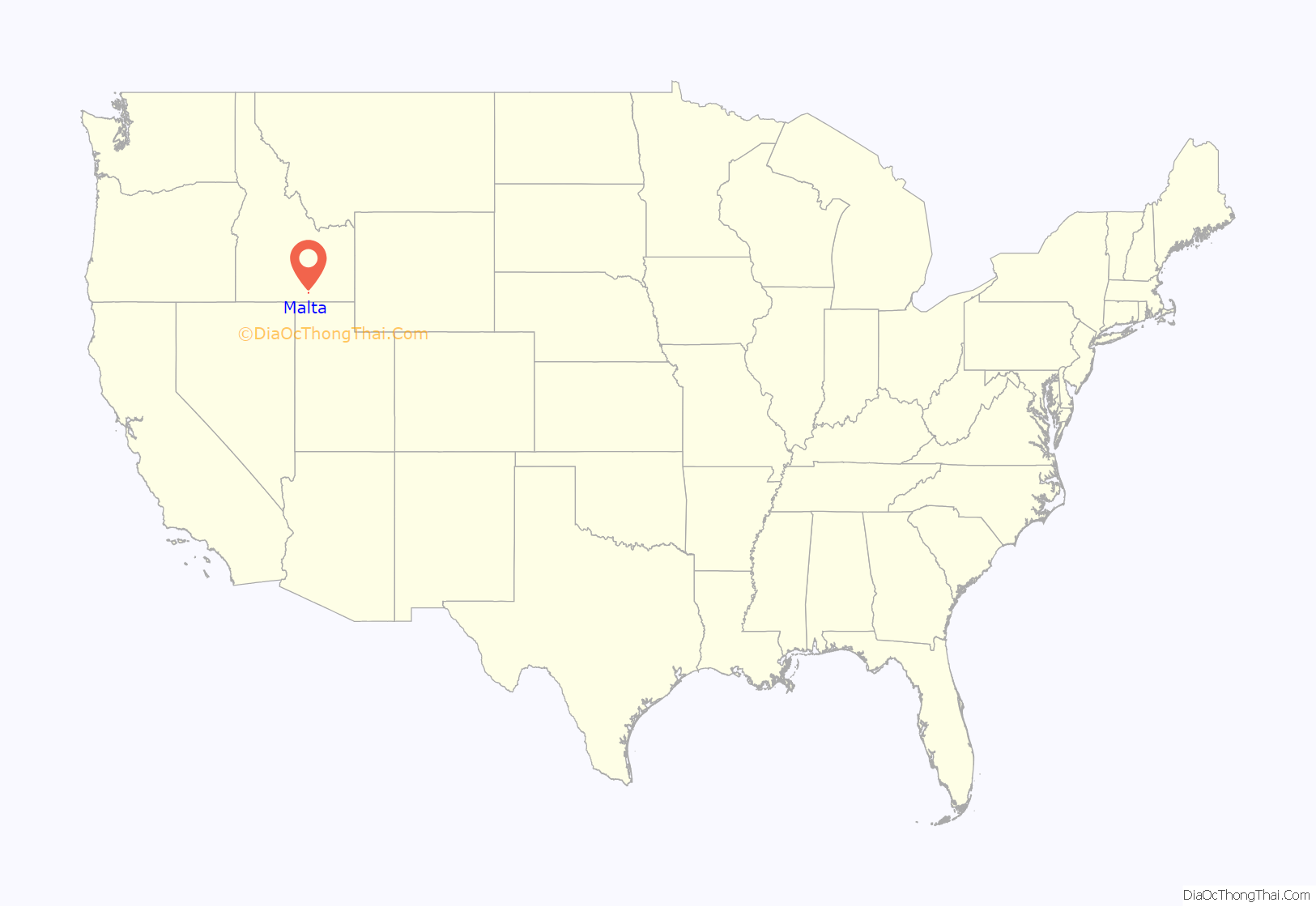
Malta location map. Where is Malta city?
History
The settlers in the Malta area in the early 1880s had no central location for mail delivery. The mail was delivered in open boxes. The Condit family secured a permit from the U.S. Post Office Department to open a post office and name the community. The post office was opened in 1883. Apparently it seemed like an island in a wide expanse of sea, so they named it Malta after the island of Malta in the Mediterranean.
A website, created as an Eagle Scout project, includes a history on the majority of the people buried at the Valley Vu Cemetery in Malta. It also has histories and information from Raft River High School, including yearbooks.
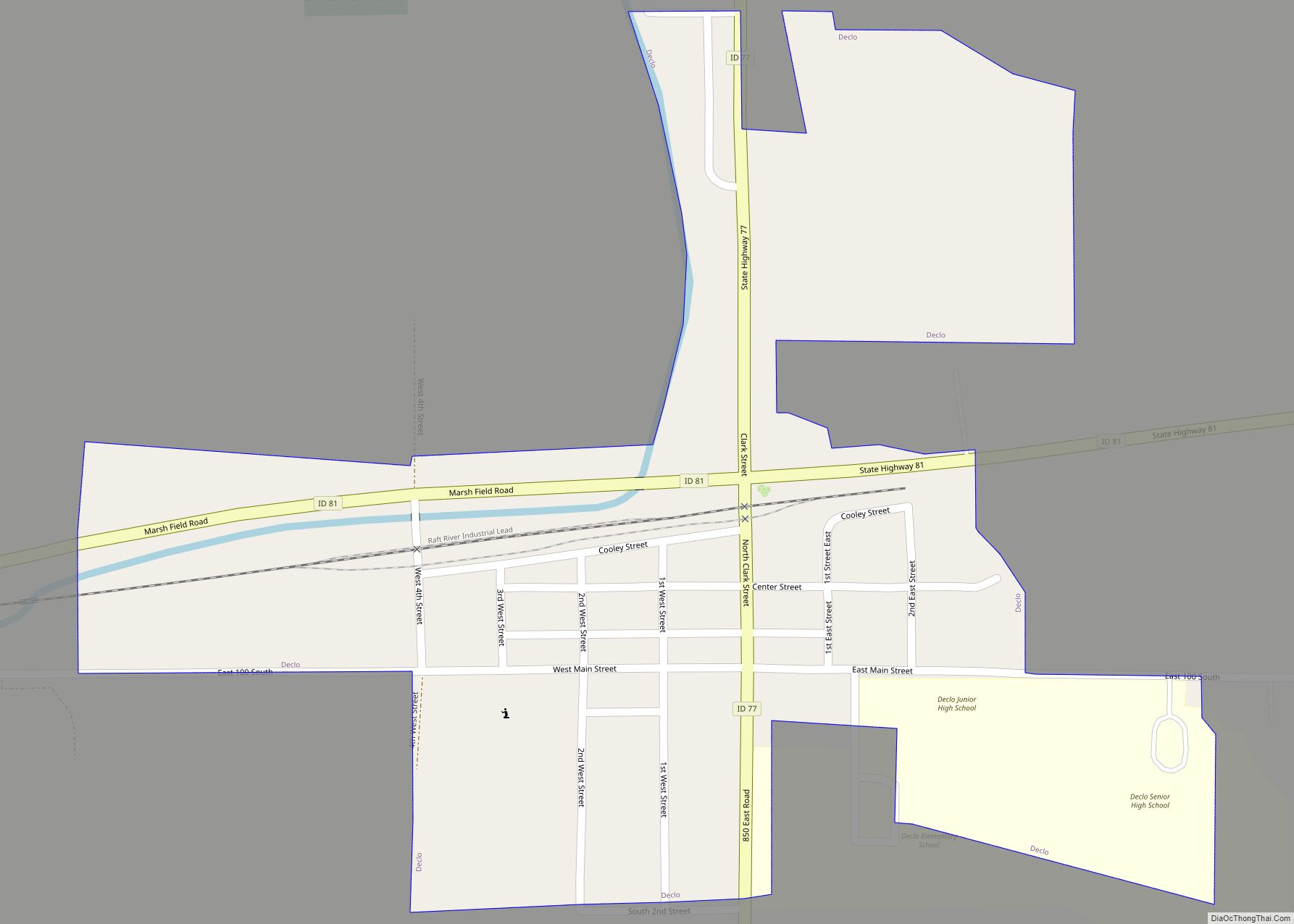
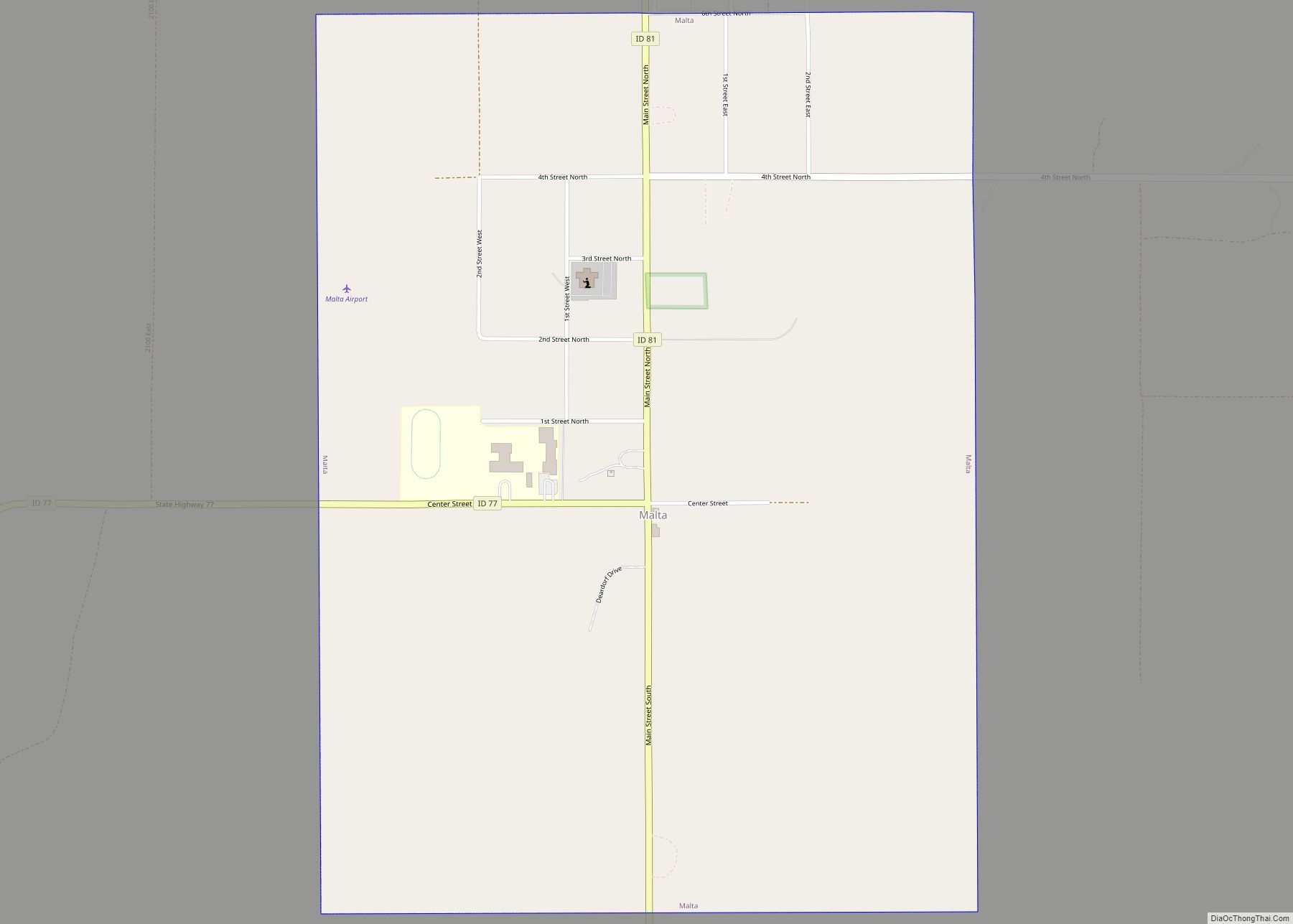
Malta Road Map
Malta city Satellite Map
Geography
Malta is located at 42°18′33″N 113°22′14″W / 42.30917°N 113.37056°W / 42.30917; -113.37056 (42.309305, -113.370498).
According to the United States Census Bureau, the city has a total area of 1.40 square miles (3.63 km), all of it land.
See also
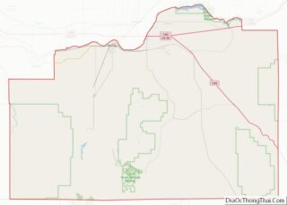
Map of Idaho State and its subdivision:- Ada
- Adams
- Bannock
- Bear Lake
- Benewah
- Bingham
- Blaine
- Boise
- Bonner
- Bonneville
- Boundary
- Butte
- Camas
- Canyon
- Caribou
- Cassia
- Clark
- Clearwater
- Custer
- Elmore
- Franklin
- Fremont
- Gem
- Gooding
- Idaho
- Jefferson
- Jerome
- Kootenai
- Latah
- Lemhi
- Lewis
- Lincoln
- Madison
- Minidoka
- Nez Perce
- Oneida
- Owyhee
- Payette
- Power
- Shoshone
- Teton
- Twin Falls
- Valley
- Washington
- Alabama
- Alaska
- Arizona
- Arkansas
- California
- Colorado
- Connecticut
- Delaware
- District of Columbia
- Florida
- Georgia
- Hawaii
- Idaho
- Illinois
- Indiana
- Iowa
- Kansas
- Kentucky
- Louisiana
- Maine
- Maryland
- Massachusetts
- Michigan
- Minnesota
- Mississippi
- Missouri
- Montana
- Nebraska
- Nevada
- New Hampshire
- New Jersey
- New Mexico
- New York
- North Carolina
- North Dakota
- Ohio
- Oklahoma
- Oregon
- Pennsylvania
- Rhode Island
- South Carolina
- South Dakota
- Tennessee
- Texas
- Utah
- Vermont
- Virginia
- Washington
- West Virginia
- Wisconsin
- Wyoming
