Stoneham (/ˈstoʊnəm/ STO-nəm) is a town in Middlesex County, Massachusetts, nine miles (14.5 km) north of downtown Boston. Its population was 23,244 at the 2020 census. Its proximity to major highways and public transportation offer convenient access to Boston and the North Shore coastal region and beaches of Massachusetts. The town is the birthplace of the Olympic figure-skating medalist Nancy Kerrigan and is the location of the Stone Zoo.
| Name: | Stoneham CDP |
|---|---|
| LSAD Code: | 57 |
| LSAD Description: | CDP (suffix) |
| State: | Massachusetts |
| County: | Middlesex County |
| Incorporated: | 1725 |
| Elevation: | 47 m (155 ft) |
| Total Area: | 17.4 km² (6.7 sq mi) |
| Land Area: | 15.9 km² (6.2 sq mi) |
| Water Area: | 1.5 km² (0.6 sq mi) |
| Total Population: | 23,244 |
| Population Density: | 1,300/km² (3,500/sq mi) |
| ZIP code: | 02180 |
| Area code: | 339 / 781 |
| FIPS code: | 2567700 |
| GNISfeature ID: | 0618235 |
| Website: | https://www.stoneham-ma.gov |
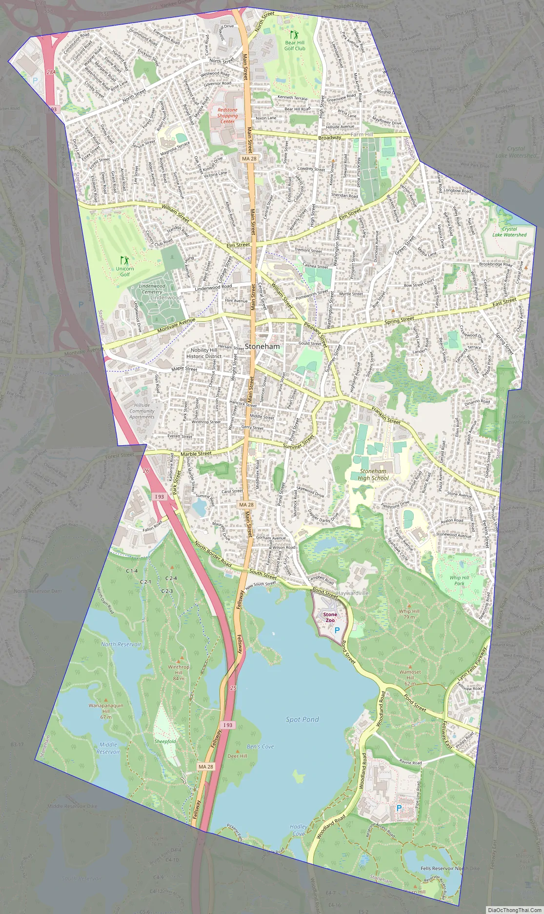
Online Interactive Map
Click on ![]() to view map in "full screen" mode.
to view map in "full screen" mode.
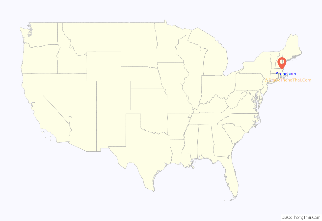
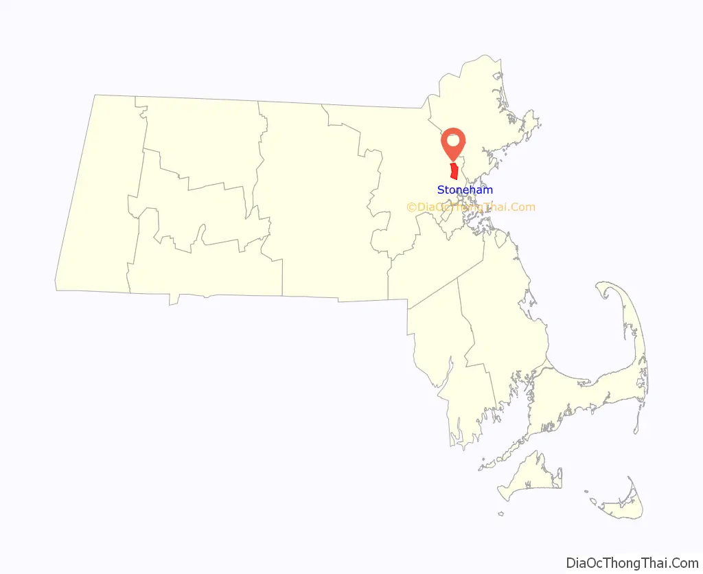
Stoneham location map. Where is Stoneham CDP?
History
The earliest documented mention of the territory now called Stoneham dates to 1632 when, on February 7, Governor Winthrop and his party came upon this area. They found Spot Pond and ate their lunch on a place they called Cheese Rock, now known as Bear Hill. Stoneham is situated on the traditional territory of the Massachusett and Pawtucket peoples.
Stoneham was first settled by colonists in 1634 and was originally a part of Charlestown. In 1678, there were six colonists with their families, all in the northeast part of the town, probably because of its proximity to the settlement in Reading (now Wakefield).
By 1725, the population of the area, called “Charlestown End”, had increased until there were 65 male inhabitants paying taxes; however, they were miles away from the settlement in Charlestown and could not conveniently reach its church or school. For this reason, Captain Benjamin Geary and 53 other residents of the area petitioned Charlestown to allow them to be separated. The town refused their petition at first, but on December 17, 1725, the General Court passed an act to establish the new township of Stoneham, separating it from Charlestown, and releasing its residents from the obligation to pay taxes to Charlestown, provided that within two years they would erect a suitable church and hire a minister and a schoolmaster.
The town’s first meeting-house was erected in 1726, as was its Burying Ground (now known as the Old Burying Ground and listed on the National Register of Historic Places in 1984). The first church was organized in 1729, with members being released from the congregations in Reading and Melrose to form it. In the same year, the town voted to raise £9 for the building of a school, and chose a committee to hire a schoolmaster. Stoneham remained a small town during the colonial era. Traces of its colonial history are still to be seen in the Spot Pond Archeological District of the Middlesex Fells Reservation. During the Industrial Revolution, Stoneham prospered as a major shoe-manufacturing center.
Stoneham Road Map
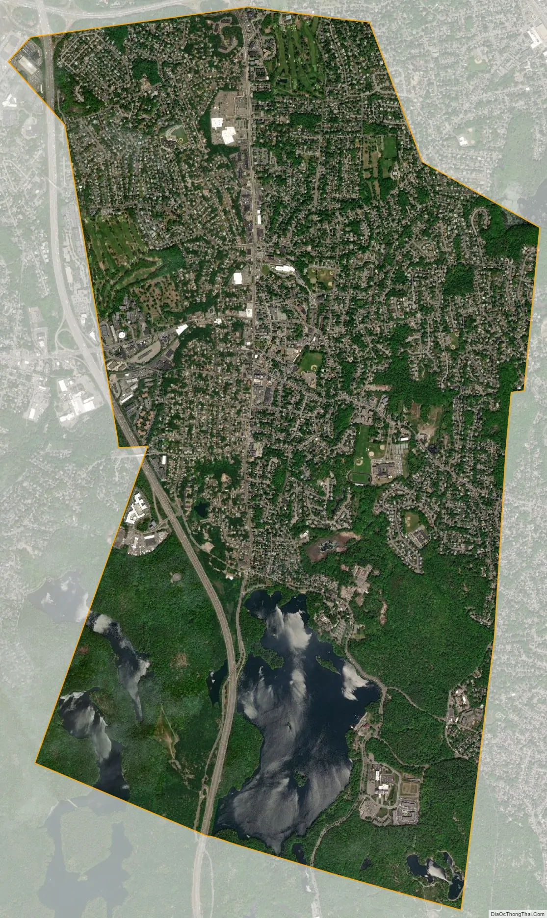
Stoneham city Satellite Map
Geography
Stoneham is located at 42°28′48″N 71°5′54″W / 42.48000°N 71.09833°W / 42.48000; -71.09833 (42.480145, −71.098352).
According to the United States Census Bureau, the town has a total area of 6.7 square miles (17.4 km), of which 6.2 square miles (15.9 km) is land and 0.6 square miles (1.5 km), or 8.36%, is water.
Stoneham has two exits off Interstate 93, Winchester Highlands and Montvale Avenue and one exit off Interstate 95, Route 28.
Stoneham borders the following cities or towns: Woburn, Winchester, Medford, Melrose, Wakefield, and Reading.
See also
Map of Massachusetts State and its subdivision: Map of other states:- Alabama
- Alaska
- Arizona
- Arkansas
- California
- Colorado
- Connecticut
- Delaware
- District of Columbia
- Florida
- Georgia
- Hawaii
- Idaho
- Illinois
- Indiana
- Iowa
- Kansas
- Kentucky
- Louisiana
- Maine
- Maryland
- Massachusetts
- Michigan
- Minnesota
- Mississippi
- Missouri
- Montana
- Nebraska
- Nevada
- New Hampshire
- New Jersey
- New Mexico
- New York
- North Carolina
- North Dakota
- Ohio
- Oklahoma
- Oregon
- Pennsylvania
- Rhode Island
- South Carolina
- South Dakota
- Tennessee
- Texas
- Utah
- Vermont
- Virginia
- Washington
- West Virginia
- Wisconsin
- Wyoming


