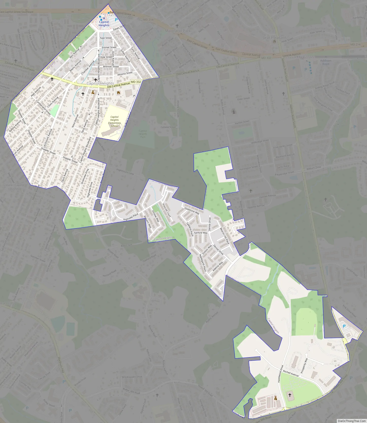
Capitol Heights is a town in Prince George’s County, Maryland, United States, located on the border of both the Northeast & Southeast quadrants of Washington. Per the 2020 census, the population was 4,050. The town of Capitol Heights is officially bounded between Southern Avenue NE/SE to the north, Yost Place, and Eastern Avenue NE to the east, the Watts Branch Stream, Brooke Road, and Capitol Heights Boulevard to the south, and Marlboro Pike to the west. The zip code of Capitol Heights is 20743.
| Name: | Capitol Heights town |
|---|---|
| LSAD Code: | 43 |
| LSAD Description: | town (suffix) |
| State: | Maryland |
| County: | Prince George’s County |
| Incorporated: | 1910 |
| Elevation: | 121 ft (37 m) |
| Total Area: | 0.78 sq mi (2.02 km²) |
| Land Area: | 0.78 sq mi (2.02 km²) |
| Water Area: | 0.00 sq mi (0.00 km²) |
| Total Population: | 4,050 |
| Population Density: | 5,185.66/sq mi (2,002.72/km²) |
| ZIP code: | 20700-20799 |
| Area code: | 301, 240 |
| FIPS code: | 2413000 |
| GNISfeature ID: | 0597177 |
| Website: | www.capitolheightsmd.com |
Online Interactive Map
Click on ![]() to view map in "full screen" mode.
to view map in "full screen" mode.
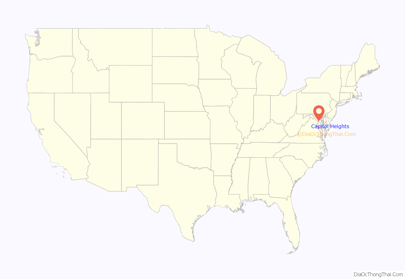
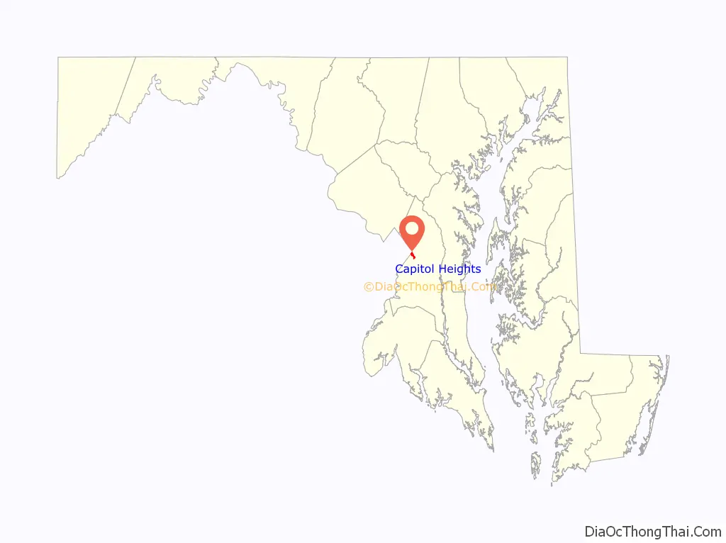
Capitol Heights location map. Where is Capitol Heights town?
History
In 1904, Washington, D.C., was growing by leaps and bounds. The overcrowding and the improved public transportation made the idea of living on the outskirts increasingly appealing to people looking for housing. Recognizing the opportunity, Baltimore resident Otway B. Zantzinger acquired 400 hilly acres just beyond the eastern corner of the District of Columbia. He divided the tract into 4,000 lots and began to sell them at prices ranging from $20 to $150 each. He advertised a picturesque view of Washington, D.C., a proposed electric railway, drinking water from crystal-clear springs, nothing down and a dollar a month, no interest, no landlords, and, in the custom and vernacular of the times, “no colored people.” Many buyers bought two lots in this haven that was to become Capitol Heights.
While awaiting their “proposed electric railway,” commuters to the city could walk about a mile (often through mud) to the District Line station at what is now Seat Pleasant and board a rail car into Washington, DC.
The absence of paved roads, sidewalks, street lights, and other public services, including the electric railway, began to cast a pall over Zantzinger’s vision of bliss. In 1910, the approximately 200 householders voted to incorporate their community as Capitol Heights. Over the next 50 years, the town made strides in improving its infrastructure and services. It established its own fire department and public works department and built facilities to house them and other elements of the government. By the 1970s, when its population had reached about 3,800, the town’s central business district had started to decline.
In 1980, that long-promised “electric railway” finally arrived. Capitol Heights got its own station on the Washington Metro Blue Line, providing easy access to the entire metropolitan region and national transportation facilities. The land around the station has been declared an Enterprise Zone, which the town is promoting as one of its paths to restoring prosperity. Today, over 90% of the population of Capitol Heights is African American and the town has had four African-American mayors.
Since 2020, commuters have flocked to Capitol Heights due to its relatively affordable housing, accessible public transportation facilities, and close proximity to Washington, DC. This influx of consultants, software developers, and professionals has stoked existing communities of entrepreneurship within Capitol Heights and Prince George’s County. Similar to San Jose, CA in the early 2000s, the growing community of professionals in Capitol Heights has resulted in many locals referring to Capitol Heights as “Washington DC’s Silicon Valley.”
Previous mayors
- 1946-1950 Thomas A. Shaw
- 1950-1952 Harvey E. Ennis
- 1952-1954 Joseph Gainer
- 1954-1964 Elmer L. Hockman
- 1964-1986 Leo P. Forami
- 1986-2002 Vivian M. Dodson
- 2002-2006 Joyce Ayers Nixon
- 2006-2010 Darrell A. Miller
- 2010-2014 Kito James
- 2014-2018 Marnitta L. King
- 2018-2021 Shawn M. Maldon
Capitol Heights Road Map
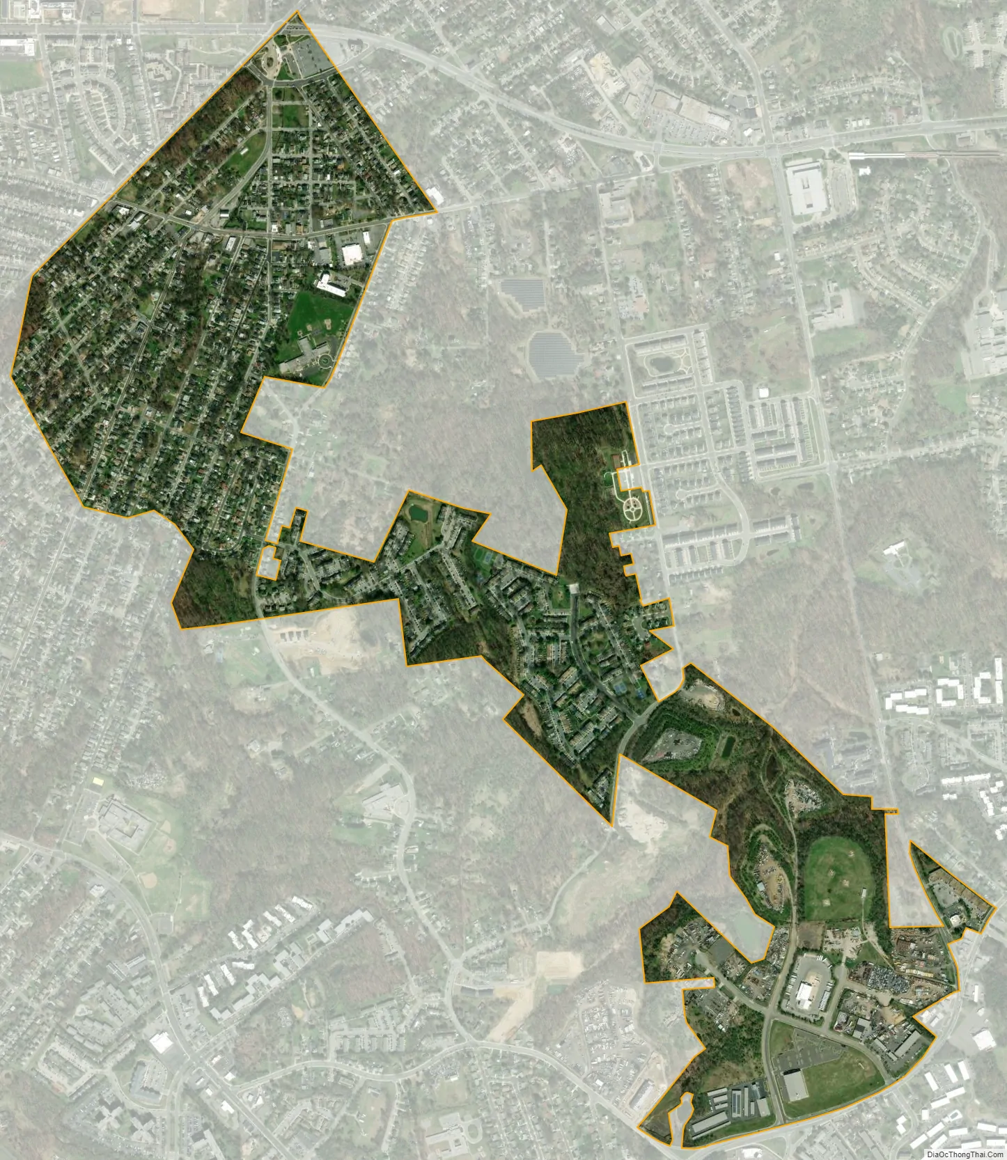
Capitol Heights city Satellite Map
Geography
Capitol Heights is located at 38°52′55″N 76°54′52″W / 38.88194°N 76.91444°W / 38.88194; -76.91444 (38.881862, -76.914474). East Capitol Street (MD 214), which is a major street in Capitol Heights, evenly divides the Northeast and Southeast quadrants of Washington after leaving Capitol Heights and entering Washington.
Whereas Capitol Heights itself is an incorporated town in Prince George’s County, adjacent unincorporated areas such as Coral Hills, Walker Mill, Pepper Mill Village, Carmody Hills, Fairmount Heights, and Chapel Oaks, fall within the Capitol Heights zipcode of 20743 and have Capitol Heights addresses.
According to the United States Census Bureau, the town has a total area of 0.80 square miles (2.07 km), all land.
See also
Map of Maryland State and its subdivision: Map of other states:- Alabama
- Alaska
- Arizona
- Arkansas
- California
- Colorado
- Connecticut
- Delaware
- District of Columbia
- Florida
- Georgia
- Hawaii
- Idaho
- Illinois
- Indiana
- Iowa
- Kansas
- Kentucky
- Louisiana
- Maine
- Maryland
- Massachusetts
- Michigan
- Minnesota
- Mississippi
- Missouri
- Montana
- Nebraska
- Nevada
- New Hampshire
- New Jersey
- New Mexico
- New York
- North Carolina
- North Dakota
- Ohio
- Oklahoma
- Oregon
- Pennsylvania
- Rhode Island
- South Carolina
- South Dakota
- Tennessee
- Texas
- Utah
- Vermont
- Virginia
- Washington
- West Virginia
- Wisconsin
- Wyoming


