Peppermill Village is an unincorporated community near Maryland Route 214 (Central Avenue) in Prince George’s County, Maryland, United States. Per the 2020 census, the population was 5,264. FedExField, Metrorail’s Blue Line, and Hampton Mall shopping center are all located nearby. Because it is not formally incorporated, it has no official boundaries, but the United States Census Bureau has defined a census-designated place (CDP) consisting of Peppermill Village and the adjacent community of Carmody Hills, for statistical purposes.
| Name: | Peppermill Village CDP |
|---|---|
| LSAD Code: | 57 |
| LSAD Description: | CDP (suffix) |
| State: | Maryland |
| County: | Prince George’s County |
| Elevation: | 266 ft (81 m) |
| Total Area: | 0.75 sq mi (1.94 km²) |
| Land Area: | 0.75 sq mi (1.94 km²) |
| Water Area: | 0.00 sq mi (0.00 km²) |
| Total Population: | 5,264 |
| Population Density: | 7,028.04/sq mi (2,711.80/km²) |
| Area code: | 301, 240 |
| FIPS code: | 2460950 |
| GNISfeature ID: | 2391235 |
Online Interactive Map
Click on ![]() to view map in "full screen" mode.
to view map in "full screen" mode.
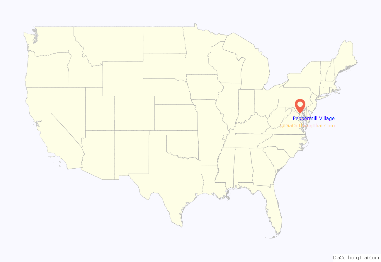
Peppermill Village location map. Where is Peppermill Village CDP?

Peppermill Village Road Map

Peppermill Village city Satellite Map

Geography
According to the U.S. Census Bureau, Peppermill Village had a total area of 0.73 square miles (1.9 km), all land. The CDP is bordered to the west and north by the city of Seat Pleasant, to the north and east by the Summerfield CDP, and to the south by the Walker Mill CDP. Peppermill Village is bounded to the east by Hill Road, west by Carmody Hills Drive, north by Seat Pleasant Drive and south by Maryland Route 214, or Central Avenue, which to the west becomes East Capitol Street in the District of Columbia and to the east connects with the Capital Beltway and the town of Largo.
See also
Map of Maryland State and its subdivision: Map of other states:- Alabama
- Alaska
- Arizona
- Arkansas
- California
- Colorado
- Connecticut
- Delaware
- District of Columbia
- Florida
- Georgia
- Hawaii
- Idaho
- Illinois
- Indiana
- Iowa
- Kansas
- Kentucky
- Louisiana
- Maine
- Maryland
- Massachusetts
- Michigan
- Minnesota
- Mississippi
- Missouri
- Montana
- Nebraska
- Nevada
- New Hampshire
- New Jersey
- New Mexico
- New York
- North Carolina
- North Dakota
- Ohio
- Oklahoma
- Oregon
- Pennsylvania
- Rhode Island
- South Carolina
- South Dakota
- Tennessee
- Texas
- Utah
- Vermont
- Virginia
- Washington
- West Virginia
- Wisconsin
- Wyoming


