Forest Heights is a town in Prince George’s County, Maryland, United States, and is part of the larger postal designation of Oxon Hill. The town straddles both sides of dual-lane Maryland Route 210 and includes two elementary schools. Per the 2020 census, the population was 2,658.
| Name: | Forest Heights town |
|---|---|
| LSAD Code: | 43 |
| LSAD Description: | town (suffix) |
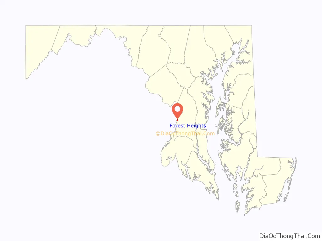
| State: | Maryland |
| County: | Prince George’s County |
| Incorporated: | 1949 |
| Elevation: | 161 ft (49 m) |
| Total Area: | 1.75 sq mi (4.54 km²) |
| Land Area: | 1.65 sq mi (4.28 km²) |
| Water Area: | 0.10 sq mi (0.25 km²) |
| Total Population: | 2,658 |
| Population Density: | 1,607.01/sq mi (620.39/km²) |
| ZIP code: | 20745 |
| Area code: | 301, 240 |
| FIPS code: | 2428725 |
| GNISfeature ID: | 0597408 |
| Website: | forestheightsmd.gov |
Online Interactive Map
Click on ![]() to view map in "full screen" mode.
to view map in "full screen" mode.
Forest Heights location map. Where is Forest Heights town?

History
A few homes (such as on Huron Drive) were built in the 1930s, but most of the town developed in the 1940s and early 1950s, consisting of single-family homes with some streets of duplex homes; the Talbert Drive homes were added in the 1960s. In those days many town residents were scientists (as Mayor Armhold was) at the adjacent U.S. Naval Research Laboratory, while others were military band musicians or other Federal employees. The town’s population was approximately 3,600 in 1960, almost 50% more than the 2010 population of 2,447, perhaps due to households having more children in 1960.
Two especially long-serving mayors were Clifford Armhold and Warren F. Adams.
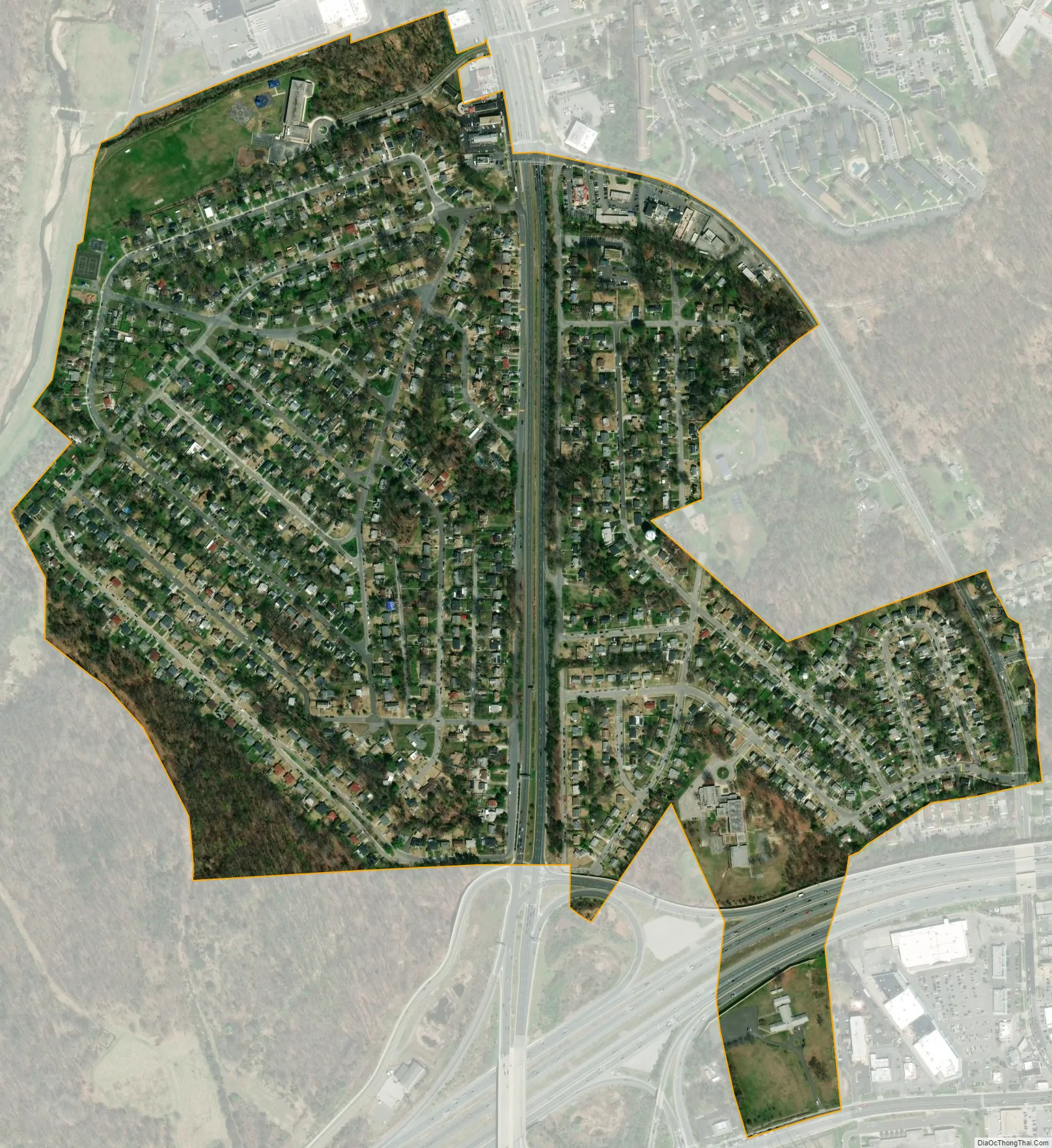
After decades of former governmental stability, in the 2000s the town made headlines repeatedly as two of its recent mayors were embroiled in clashes with the town council. One mayor, Joyce Beck, was ousted from office after changes to the Town Charter. In June 2009 her successor, Myles Spires, filed a $15 million lawsuit against the town for malicious prosecution after being cleared of all charges initiated by the town for misuse of town’s funds. In 2019, the town annexed 446.88 acres of additional land, more than doubling its size.
Forest Heights Road Map

Forest Heights city Satellite Map
Geography
Forest Heights is located at 38°48′43″N 76°59′49″W / 38.81194°N 76.99694°W / 38.81194; -76.99694 (38.811863, -76.996809). According to the United States Census Bureau, the town has a total area of 0.48 square miles (1.24 km), all land.
Forest Heights is bordered on the north by the Eastover Shopping Center. Several miles of less affluent areas within the District of Columbia (see Anacostia, Washington Highlands, and Bellevue) also lie to the north of it. Forest Heights has its own town police force, in addition to a Prince George’s County police station right at the town limits in the aforementioned Eastover Shopping Center. Rivertowne Shopping Center with a K-Mart and a Home Depot, and a very large, modern public library, are both just one to two miles from Forest Heights. Forest Heights is bordered on the south by the large new National Harbor conference center and resort, which opened its first phase in April 2008.
Adjacent areas
- National Harbor (southwest)
- Oxon Hill (southeast)
- Glassmanor (northeast)
- Bellevue, Congress Heights and Anacostia neighborhoods of Washington, D.C. (north)
See also
Map of Maryland State and its subdivision: Map of other states:- Alabama
- Alaska
- Arizona
- Arkansas
- California
- Colorado
- Connecticut
- Delaware
- District of Columbia
- Florida
- Georgia
- Hawaii
- Idaho
- Illinois
- Indiana
- Iowa
- Kansas
- Kentucky
- Louisiana
- Maine
- Maryland
- Massachusetts
- Michigan
- Minnesota
- Mississippi
- Missouri
- Montana
- Nebraska
- Nevada
- New Hampshire
- New Jersey
- New Mexico
- New York
- North Carolina
- North Dakota
- Ohio
- Oklahoma
- Oregon
- Pennsylvania
- Rhode Island
- South Carolina
- South Dakota
- Tennessee
- Texas
- Utah
- Vermont
- Virginia
- Washington
- West Virginia
- Wisconsin
- Wyoming


