Hillcrest Heights is an unincorporated area and census-designated place (CDP) in Prince George’s County, Maryland, United States. The population was 15,793 at the 2020 census. For mailing address purposes, it is part of the smaller community of Temple Hills and is also near Suitland.
| Name: | Hillcrest Heights CDP |
|---|---|
| LSAD Code: | 57 |
| LSAD Description: | CDP (suffix) |
| State: | Maryland |
| County: | Prince George’s County |
| Elevation: | 279 ft (85 m) |
| Total Area: | 2.49 sq mi (6.45 km²) |
| Land Area: | 2.49 sq mi (6.44 km²) |
| Water Area: | 0.00 sq mi (0.01 km²) |
| Total Population: | 15,793 |
| Population Density: | 6,350.22/sq mi (2,451.92/km²) |
| ZIP code: | 20746, 20748 |
| Area code: | 301, 240 |
| FIPS code: | 2438975 |
| GNISfeature ID: | 0597552 |
Online Interactive Map
Click on ![]() to view map in "full screen" mode.
to view map in "full screen" mode.
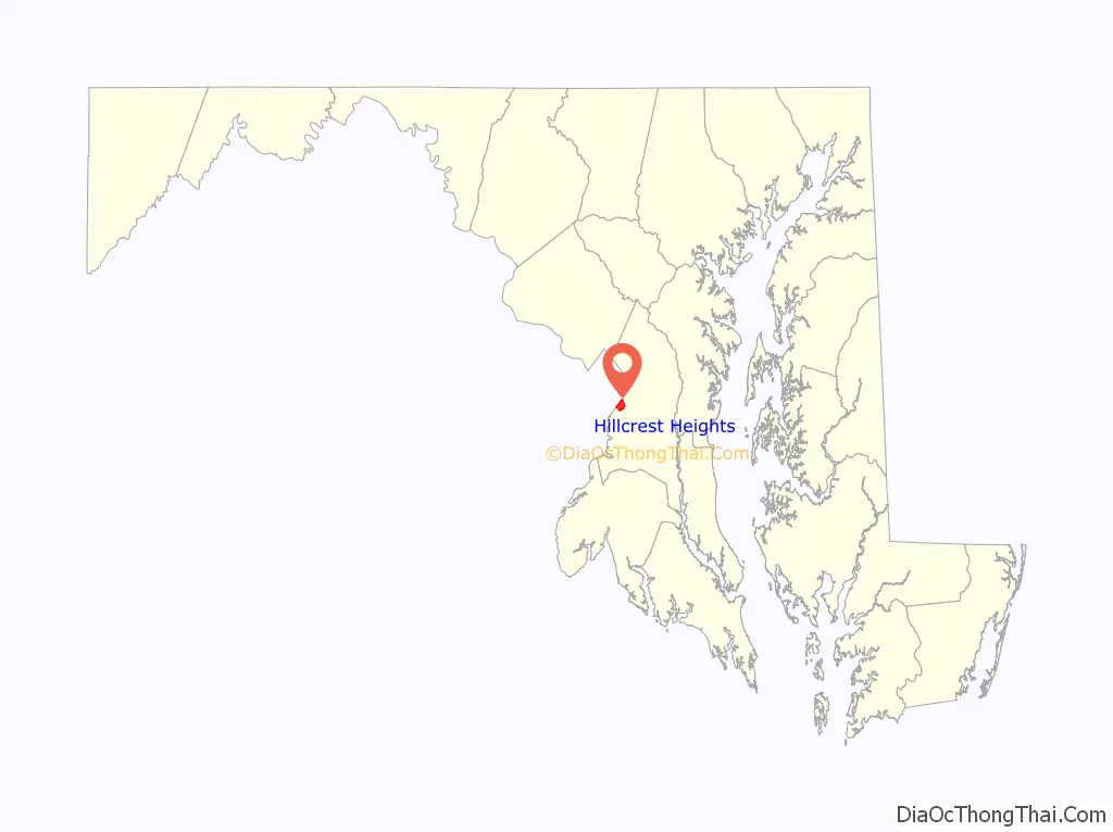
Hillcrest Heights location map. Where is Hillcrest Heights CDP?

History
Much of the community was originally an estate, Colebrook, purchased in 1671 by Thomas Dent and William Hatton, and then in 1688 by Colonel John Addison. Colebrook Manor, the family homestead of the Addisons, was built in 1808, located in Oxon Run Valley, 2/5 of a mile southeast of the Washington, D.C. line.
Hillcrest Heights Road Map
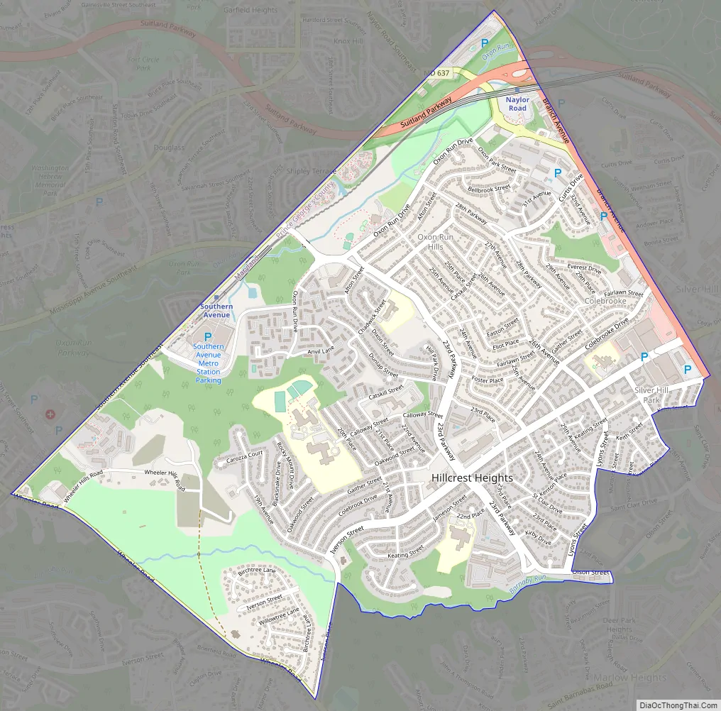
Hillcrest Heights city Satellite Map

Geography
Hillcrest Heights is located at 38°50′18″N 76°57′35″W / 38.83833°N 76.95972°W / 38.83833; -76.95972 (38.838212, -76.959795).
According to the United States Census Bureau, the CDP has a total area of 2.4 square miles (6.2 km), all land.
Hillcrest Heights borders the adjacent communities of Marlow Heights, Silver Hill, Suitland, and Glassmanor.
Hillcrest Heights consists mainly of single-family rambler homes and duplex homes built in the 1950s and 1960s. Iverson Mall, a midsize two-level shopping mall which opened in 1967, serves shoppers from Maryland communities as well as from the Anacostia section of Washington. Adjacent to the mall is the older Marlow Heights shopping center. Stations of the Metrorail Green Line are nearby. Also nearby are the U.S. Census Bureau in Suitland and, farther out, Joint Base Andrews and the Capital Beltway. The neighborhood is also convenient to Capitol Hill.
See also
Map of Maryland State and its subdivision: Map of other states:- Alabama
- Alaska
- Arizona
- Arkansas
- California
- Colorado
- Connecticut
- Delaware
- District of Columbia
- Florida
- Georgia
- Hawaii
- Idaho
- Illinois
- Indiana
- Iowa
- Kansas
- Kentucky
- Louisiana
- Maine
- Maryland
- Massachusetts
- Michigan
- Minnesota
- Mississippi
- Missouri
- Montana
- Nebraska
- Nevada
- New Hampshire
- New Jersey
- New Mexico
- New York
- North Carolina
- North Dakota
- Ohio
- Oklahoma
- Oregon
- Pennsylvania
- Rhode Island
- South Carolina
- South Dakota
- Tennessee
- Texas
- Utah
- Vermont
- Virginia
- Washington
- West Virginia
- Wisconsin
- Wyoming


