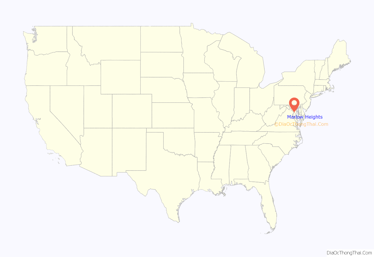
Marlow Heights is an unincorporated area and census-designated place (CDP) in Prince George’s County, Maryland, United States. The population was 6,169 at the 2020 census. The Marlow Heights Shopping Center first opened in 1957 (but extended in 1960 with Hecht’s), adjacent to the large community of Hillcrest Heights. It was joined ten years later, in 1967, by the two-level Iverson Mall, the Washington metropolitan area’s first enclosed mall.
For mailing address purposes, the area is part of Temple Hills or Suitland. Marlow Heights is located near the U.S. Census Bureau, Andrews Air Force Base, the Metrorail Green Line and Capitol Hill.
| Name: | Marlow Heights CDP |
|---|---|
| LSAD Code: | 57 |
| LSAD Description: | CDP (suffix) |
| State: | Maryland |
| County: | Prince George’s County |
| Elevation: | 262 ft (80 m) |
| Total Area: | 2.03 sq mi (5.27 km²) |
| Land Area: | 2.03 sq mi (5.26 km²) |
| Water Area: | 0.00 sq mi (0.01 km²) |
| Total Population: | 6,169 |
| Population Density: | 3,035.93/sq mi (1,171.98/km²) |
| ZIP code: | 20746, 20748 |
| Area code: | 301, 240 |
| FIPS code: | 2450750 |
| GNISfeature ID: | 0597719 |
Online Interactive Map
Click on ![]() to view map in "full screen" mode.
to view map in "full screen" mode.
Marlow Heights location map. Where is Marlow Heights CDP?
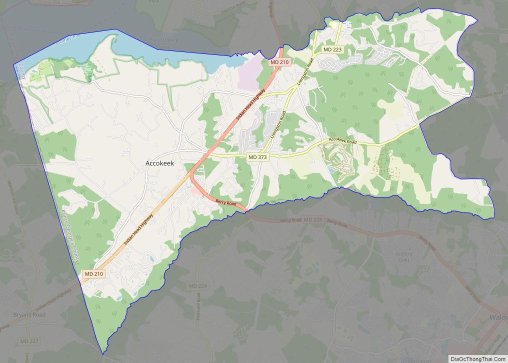
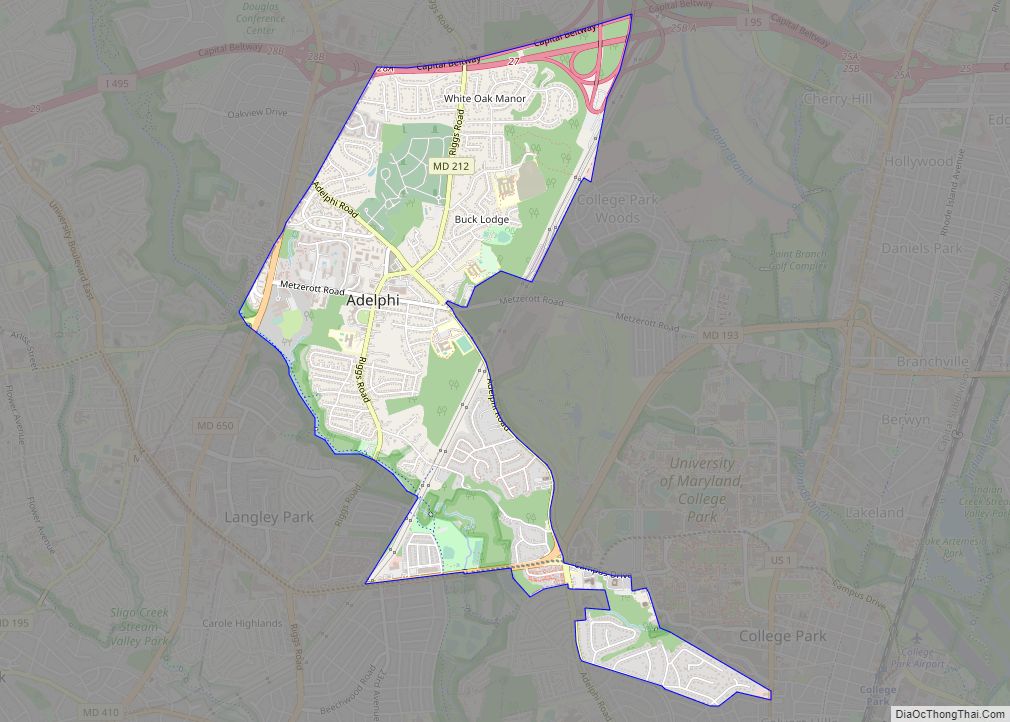
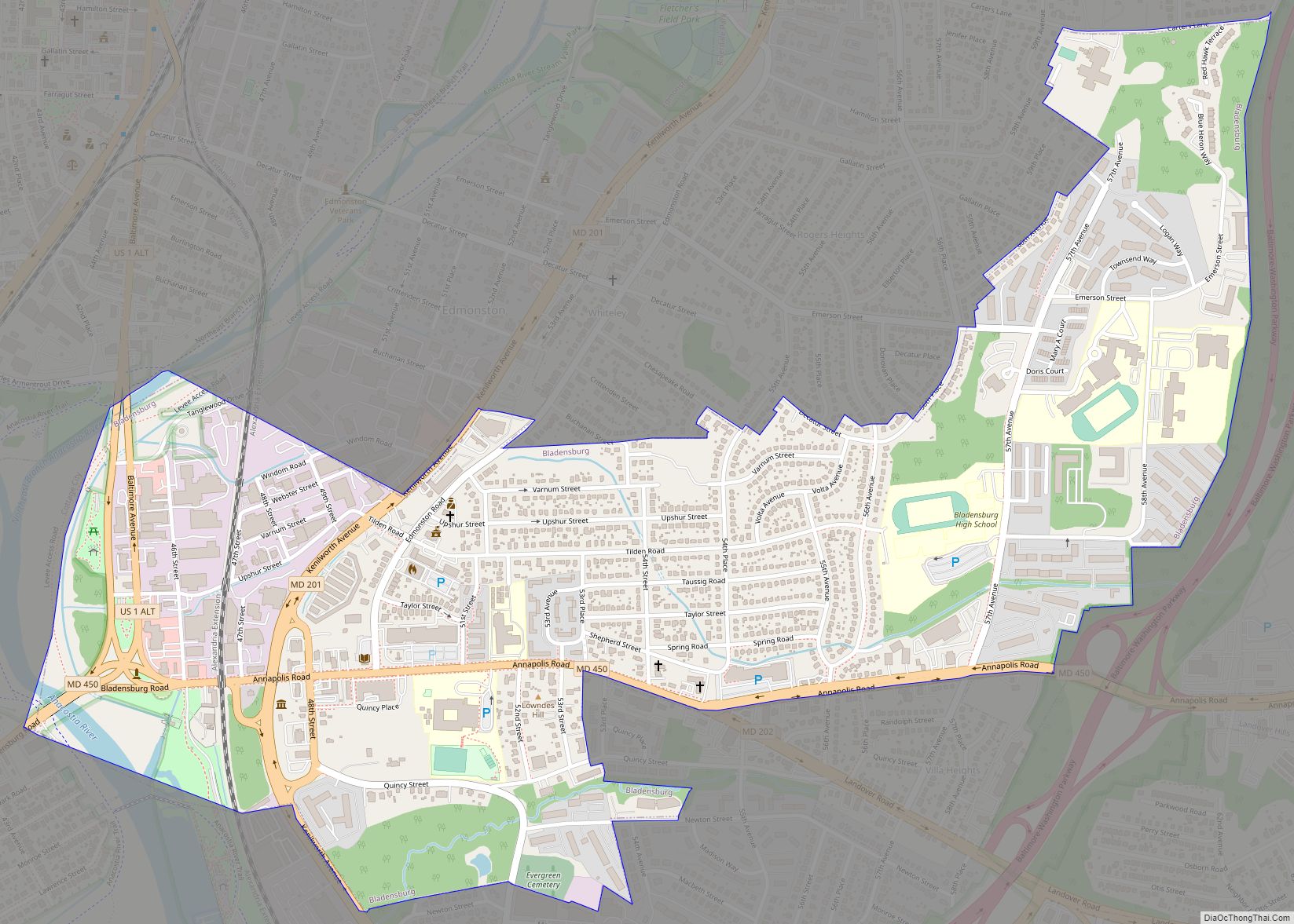
Marlow Heights Road Map
Marlow Heights city Satellite Map
Geography
Marlow Heights is located at 38°49′31″N 76°56′52″W / 38.82528°N 76.94778°W / 38.82528; -76.94778 (38.825263, −76.947864).
According to the United States Census Bureau, the CDP has a total area of 2.1 square miles (5.4 km), all land.
See also
Map of Maryland State and its subdivision: Map of other states:- Alabama
- Alaska
- Arizona
- Arkansas
- California
- Colorado
- Connecticut
- Delaware
- District of Columbia
- Florida
- Georgia
- Hawaii
- Idaho
- Illinois
- Indiana
- Iowa
- Kansas
- Kentucky
- Louisiana
- Maine
- Maryland
- Massachusetts
- Michigan
- Minnesota
- Mississippi
- Missouri
- Montana
- Nebraska
- Nevada
- New Hampshire
- New Jersey
- New Mexico
- New York
- North Carolina
- North Dakota
- Ohio
- Oklahoma
- Oregon
- Pennsylvania
- Rhode Island
- South Carolina
- South Dakota
- Tennessee
- Texas
- Utah
- Vermont
- Virginia
- Washington
- West Virginia
- Wisconsin
- Wyoming
