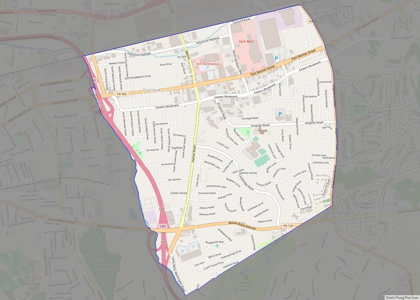
York (Pennsylvania Dutch: Yarrick) is a city in, and the county seat of, York County, Pennsylvania, United States. Located in South Central Pennsylvania, the city’s population was 44,800 at the time of the 2020 census, making it the tenth largest city in Pennsylvania. The city has an urban area population of 238,549 people and a metropolitan population of 456,438 people.
Founded in 1741, York served as the temporary base for the Continental Congress from September 1777 to June 1778, during which the Articles of Confederation were drafted. It is the largest city in the York–Hanover metropolitan area, which is also included in the larger Harrisburg–York–Lebanon combined statistical area of the Susquehanna Valley.
| Name: | York city |
|---|---|
| LSAD Code: | 25 |
| LSAD Description: | city (suffix) |
| State: | Pennsylvania |
| County: | York County |
| Land Area: | 5.29 sq mi (13.71 km²) |
| Water Area: | 0.05 sq mi (0.13 km²) |
| Population Density: | 8,389.5/sq mi (3,237.0/km²) |
| ZIP code: | 17401, 17403, 17404, 17405 |
| Area code: | 717 and 223 |
| FIPS code: | 4287048 |
| Website: | www.yorkcity.org |
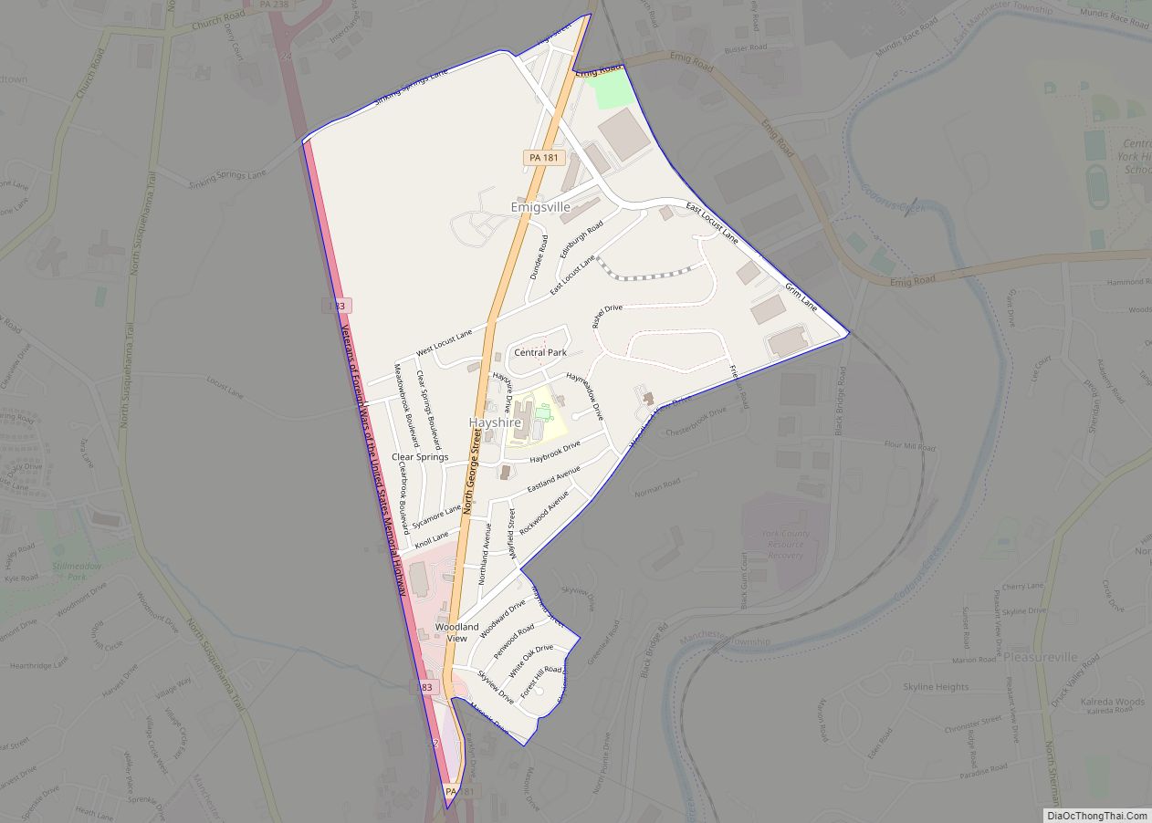
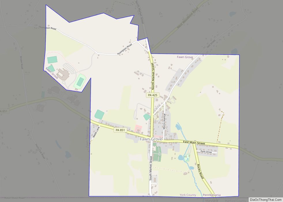
Online Interactive Map
Click on ![]() to view map in "full screen" mode.
to view map in "full screen" mode.
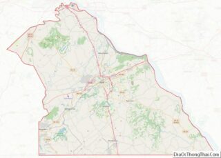
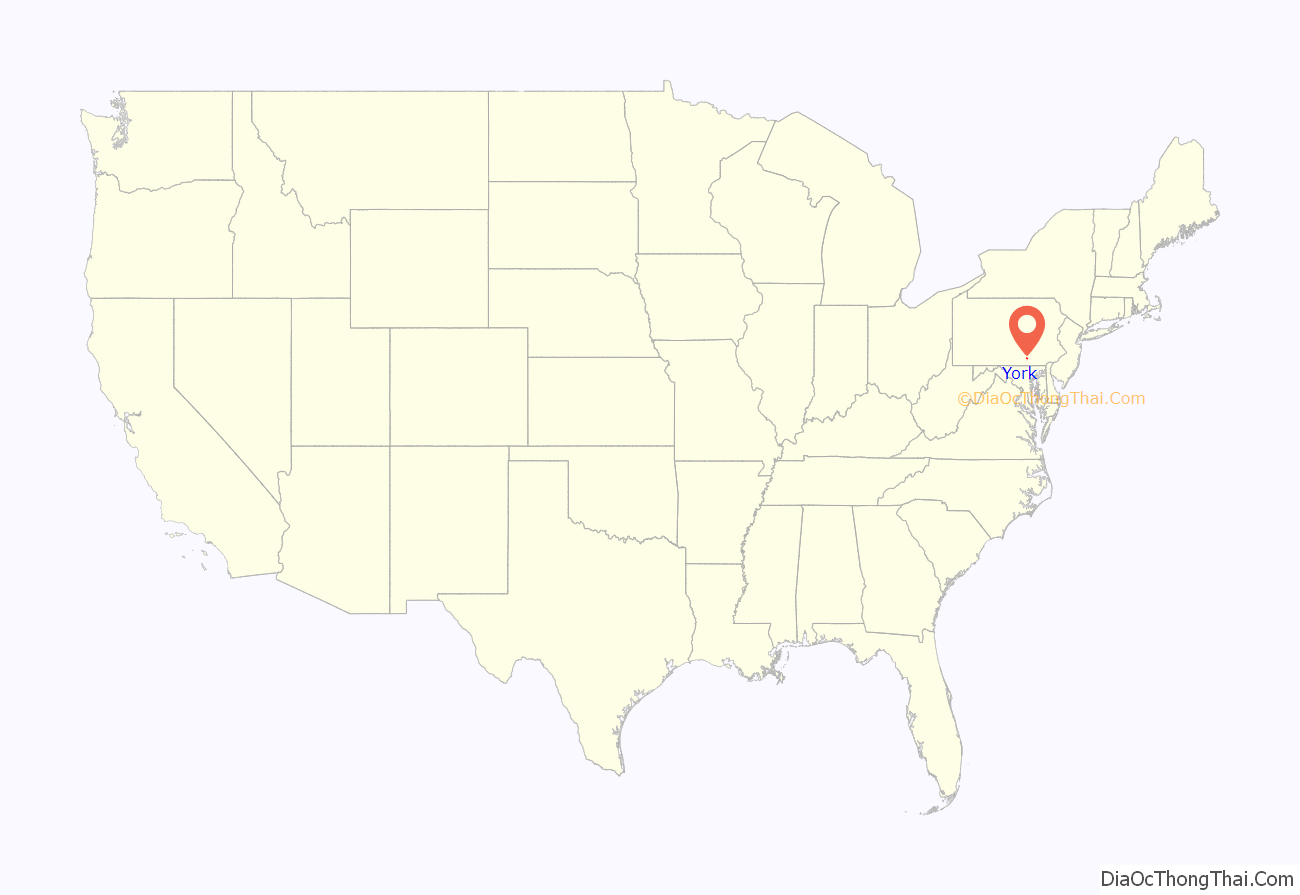
York location map. Where is York city?
History
18th century
York was also known as Yorktown in the mid-eighteenth to early nineteenth centuries. It was founded in 1741 by settlers from the Philadelphia region and named for the English city of the same name. By 1777, most of the area residents were of German or Scots-Irish descent. It was incorporated as a borough on September 24, 1787, and as a city on January 11, 1887.
York served as the temporary base for the Continental Congress from September 30, 1777 to June 27, 1778 during the American Revolutionary War (1775–1783). Congress drafted and adopted the Articles of Confederation in York, though they were not ratified until March 1781. Congress met at the Court House that was built in 1754. It was demolished in 1841 and rebuilt in 1976 as Colonial Court House.
York styles itself the first Capital of the United States, although historians generally consider it to be the fourth capital, after Philadelphia, Baltimore, and Lancaster (for one day). The claim arises from the assertion that the Articles of Confederation was the first legal document to refer to the colonies as “the United States of America”. The argument depends on whether the Declaration of Independence would be considered a true legal document of the United States, being drafted under and in opposition to British rule. This does not, however, prevent modern businesses and organizations in the York area from using the name, such as the First Capital Dispensing Co., First Capital Engineering and First Capital Federal Credit Union.
The Conway Cabal was a political intrigue against General George Washington that originated in the Golden Plough Tavern in York.
19th century
According to U.S. census reports from 1800 through 1840, York ranked within the nation’s top one hundred most populous urban areas.
During the American Civil War (1861–1865), York became the largest Northern town to be occupied by the Confederate army when the division of Major General Jubal Anderson Early spent June 28–30, 1863 in and around the town while the brigade of John B. Gordon marched to the Susquehanna River at Wrightsville and back. Early placed York under tribute status and collected food, supplies, clothing, shoes, and $28,000 in cash from citizens and merchants before departing westward, obeying the revised orders of Robert E. Lee.
The sprawling York U.S. Army Hospital on Penn Commons served thousands of Union soldiers who had been wounded during the battles of Antietam and Gettysburg.
During the Postbellum era (1865–1877), York remained a regional center for local agriculture, but increasingly became an important industrial center, with such industries as steam engines, railroad manufacturing, and papermaking achieving dominant status.
To this day, York still features unique architecture, ranging from colonial era buildings to large gothic churches.
20th century
The York Motor Car Co. built Pullman automobiles on North George St. from 1905 thorough 1917. An early and unique six-wheeled prototype was involved in one of the city’s first known automobile accidents. Another model was driven to San Francisco and back during roughly one month to prove its reliability several years prior to the creation of the Lincoln Highway which ran through town, connecting New York and San Francisco.
The York area had also been home for more than one hundred years to the Pfaltzgraff company, which built its first pottery factory in the area in 1895 and continued manufacturing in York until 2005.
Although currently produced by the Hershey Company, the York Peppermint Pattie was created in York in 1940.
Throughout the middle of the twentieth century, many African American residents of the city were subject to hostile racial prejudice and social injustices. Between 1955 and 1970, the people of York experienced racial discrimination leading to riots, most notably the 1969 York Race Riot, which resulted in the death of Lillie Belle Allen and Henry C. Schaad. These murders were largely left ignored until thirty-one years later, when allegations of murder and racial prejudice were raised against the mayor, Charlie Robertson. Additionally, the city commonly held unopposed Ku Klux Klan rallies and public meetings, fostering further racial tension. Though the murders of Allen and Schaad were solved and the perpetrators were apprehended, the actions, which originated back to the beginnings of the hate group, continue to the present day.
21st century
In 2002, the city faced a budget shortfall of $1,000,000. Mayor John S. Brenner’s plan to raise the money by asking York County’s 302,000 adult residents to donate $3.32 to the city received national attention. The plan, referred to by some as the “Big Mac” Plan, did not raise all of the funds sought.
After many years of attempting to secure funding for a stadium and a baseball team to play in it, the first decade of the century saw York realize both goals. In 2007, Santander Stadium (now WellSpan Park), home of the York Revolution, opened in the Arch Street neighborhood. The stadium, along with other large projects such as the York County Judicial Center and the Codo luxury apartment lofts, have come to symbolize York’s extensive redevelopment efforts.
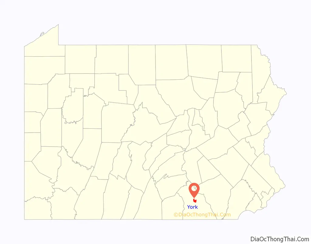
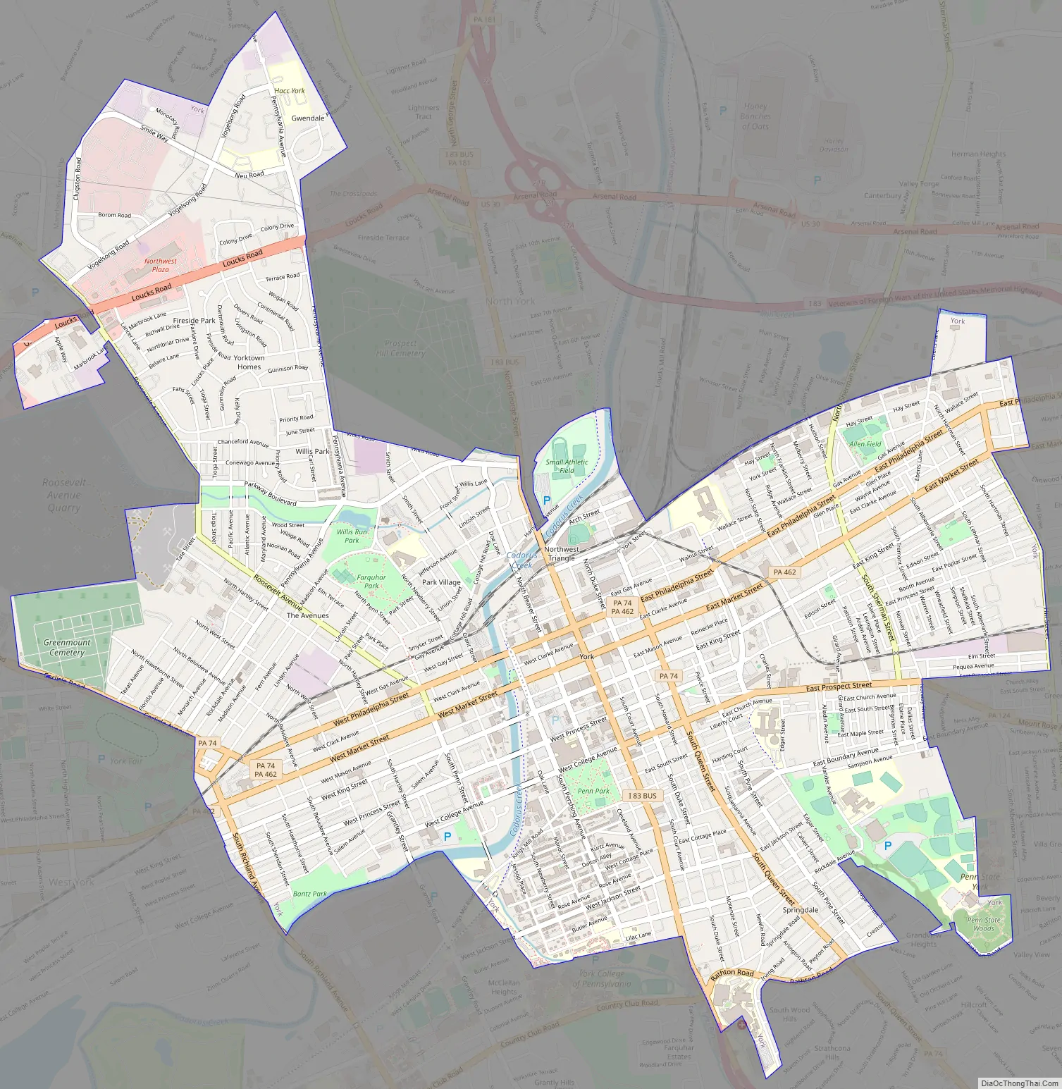
York Road Map
York city Satellite Map
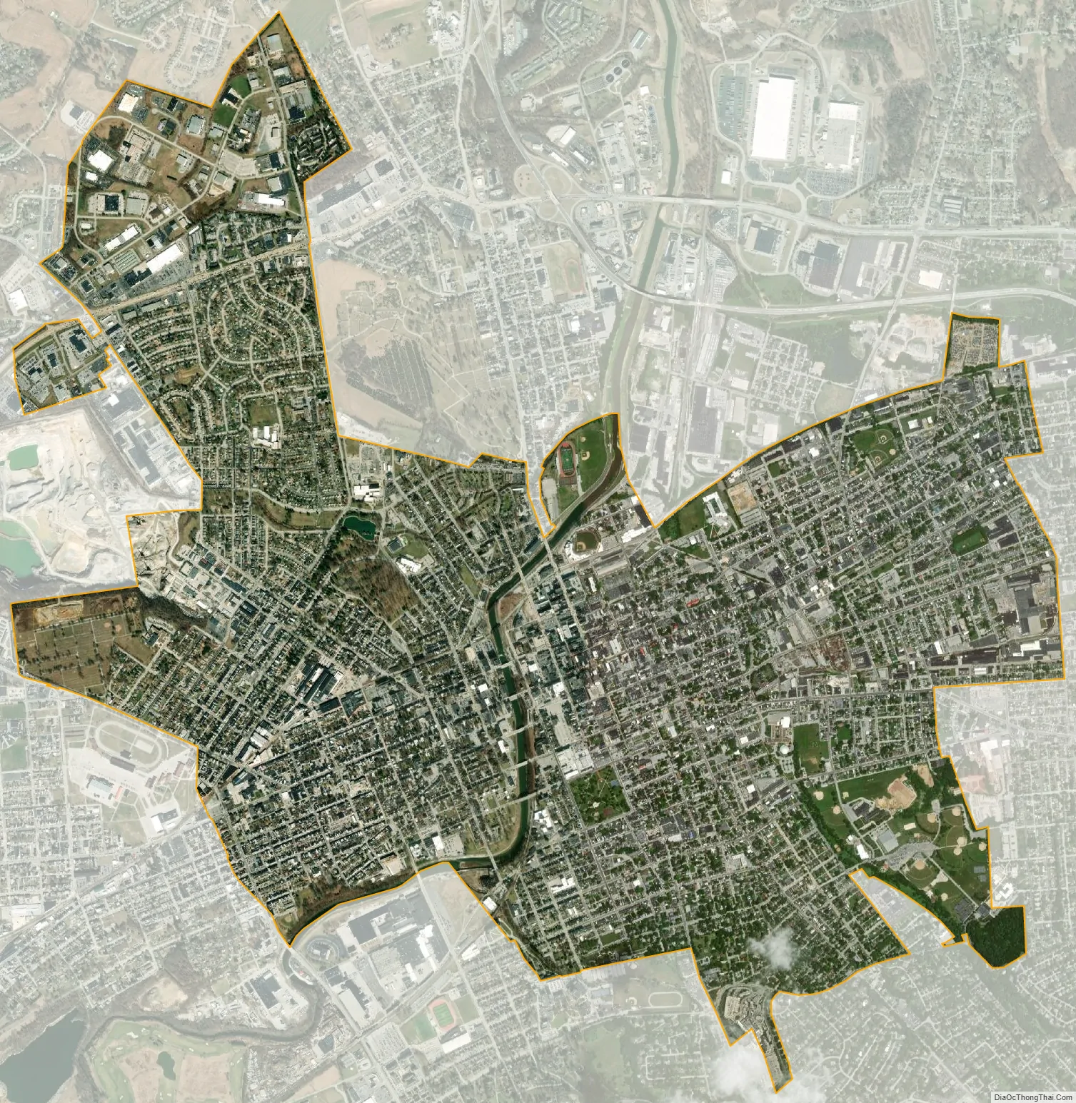
Geography
According to the United States Census Bureau, the city has a total area of 5.3 square miles (14 km), of which 5.2 square miles (13 km) is land and 0.1 square miles (0.26 km) (1.14%) is water.
Climate
York has a humid continental climate (Dfa) with hot, humid summers and moderately cold winters. The mean annual precipitation total of 41.1 inches (1,040 millimeters) is fairly evenly spread throughout the year, and falls on an average of 126.6 days per annum. Record temperatures from the York COOP range from 107 °F (42 °C), set on July 2, 1901, down to −21 °F (−29 °C), recorded on January 28, 1925, and January 21, 1994; at York Airport, with a considerably shorter period of record, the range is 100 °F (38 °C), set on July 22, 2011, down to −12 °F (−24 °C) as recently as March 6–7, 2015. The York COOP also holds the official statewide 24-hour precipitation record of 13.5 in (340 mm) set on June 22, 1972, due to the impact of Hurricane Agnes.
See also
Map of Pennsylvania State and its subdivision:- Adams
- Allegheny
- Armstrong
- Beaver
- Bedford
- Berks
- Blair
- Bradford
- Bucks
- Butler
- Cambria
- Cameron
- Carbon
- Centre
- Chester
- Clarion
- Clearfield
- Clinton
- Columbia
- Crawford
- Cumberland
- Dauphin
- Delaware
- Elk
- Erie
- Fayette
- Forest
- Franklin
- Fulton
- Greene
- Huntingdon
- Indiana
- Jefferson
- Juniata
- Lackawanna
- Lancaster
- Lawrence
- Lebanon
- Lehigh
- Luzerne
- Lycoming
- Mc Kean
- Mercer
- Mifflin
- Monroe
- Montgomery
- Montour
- Northampton
- Northumberland
- Perry
- Philadelphia
- Pike
- Potter
- Schuylkill
- Snyder
- Somerset
- Sullivan
- Susquehanna
- Tioga
- Union
- Venango
- Warren
- Washington
- Wayne
- Westmoreland
- Wyoming
- York
- Alabama
- Alaska
- Arizona
- Arkansas
- California
- Colorado
- Connecticut
- Delaware
- District of Columbia
- Florida
- Georgia
- Hawaii
- Idaho
- Illinois
- Indiana
- Iowa
- Kansas
- Kentucky
- Louisiana
- Maine
- Maryland
- Massachusetts
- Michigan
- Minnesota
- Mississippi
- Missouri
- Montana
- Nebraska
- Nevada
- New Hampshire
- New Jersey
- New Mexico
- New York
- North Carolina
- North Dakota
- Ohio
- Oklahoma
- Oregon
- Pennsylvania
- Rhode Island
- South Carolina
- South Dakota
- Tennessee
- Texas
- Utah
- Vermont
- Virginia
- Washington
- West Virginia
- Wisconsin
- Wyoming