Aberdeen is the county seat of Monroe County, Mississippi, United States. As of the 2020 census, the population was 4,961.
Located on the banks of the Tombigbee River, Aberdeen was one of the busiest Mississippi ports of the 19th century. Cotton was heavily traded in town, and for a time Aberdeen was Mississippi’s second largest city. Aberdeen retains many historic structures from this period, with over 200 buildings on the National Register of Historic Places. In the spring of each year, Aberdeen hosts pilgrimages to its historic antebellum homes. The most prominent of these antebellum homes is The Magnolias, which was built in 1850.
Located just outside the city, Aberdeen Lock and Dam forms Aberdeen Lake, a popular recreational area. Aberdeen Lock and Dam is part of the Tennessee-Tombigbee waterway system.
| Name: | Aberdeen city |
|---|---|
| LSAD Code: | 25 |
| LSAD Description: | city (suffix) |
| State: | Mississippi |
| County: | Monroe County |
| Elevation: | 240 ft (73 m) |
| Total Area: | 12.37 sq mi (32.04 km²) |
| Land Area: | 12.09 sq mi (31.31 km²) |
| Water Area: | 0.28 sq mi (0.73 km²) |
| Total Population: | 4,961 |
| Population Density: | 410.34/sq mi (158.43/km²) |
| ZIP code: | 39730 |
| Area code: | 662 |
| FIPS code: | 2800180 |
| GNISfeature ID: | 666129 |
| Website: | http://cityofaberdeenms.com/ |
Online Interactive Map
Click on ![]() to view map in "full screen" mode.
to view map in "full screen" mode.
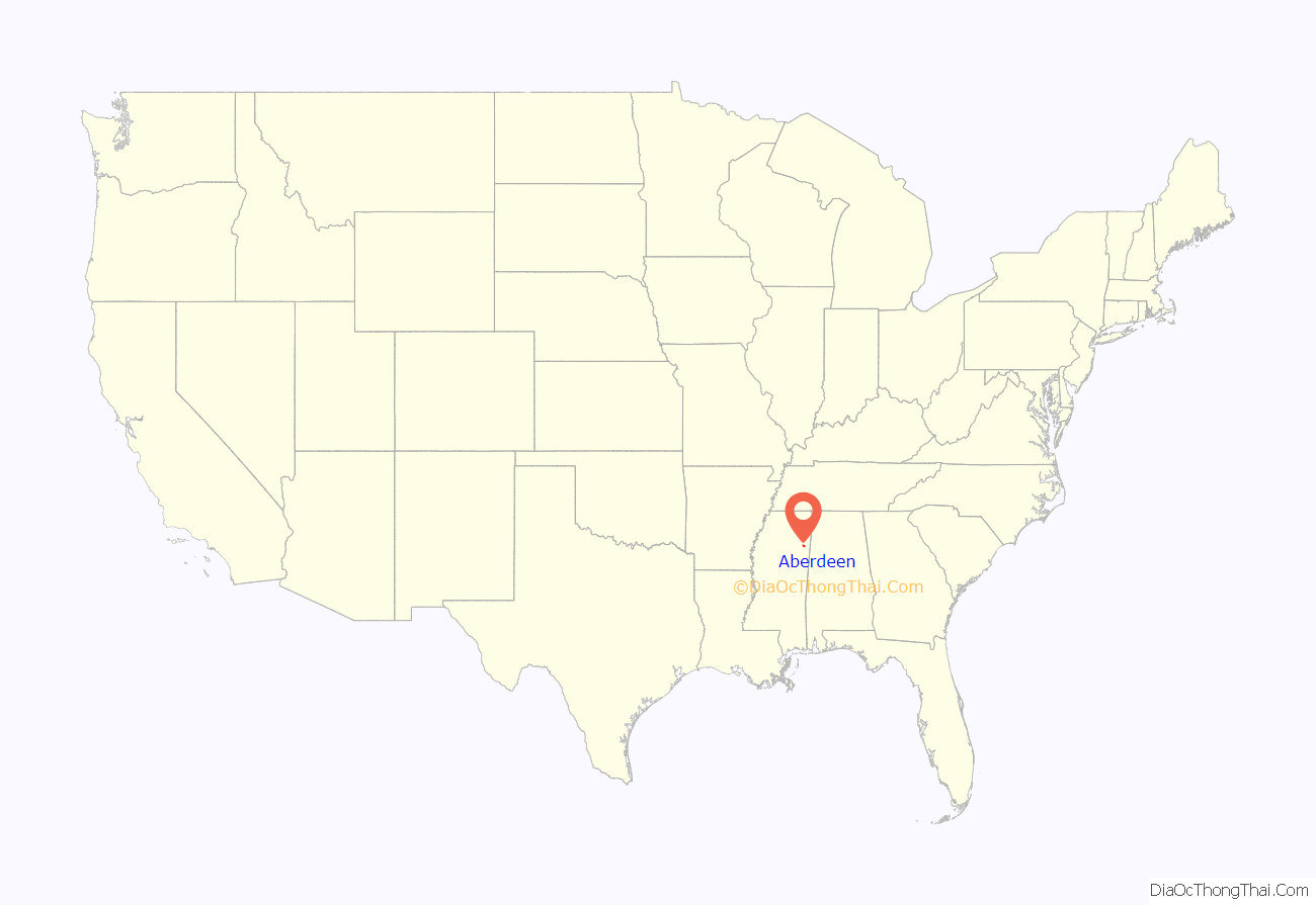
Aberdeen location map. Where is Aberdeen city?
History
In 1540, Hernando DeSoto’s expedition was the first European expedition to travel through the vicinity of Aberdeen.
Aberdeen was first settled in 1834 and chartered as a town in 1837. In 1849, it became the county seat when Monroe County was formed.
On February 18, 1864, a skirmish occurred between the Union army and the Confederate army in Aberdeen. Lieutenant Colonel Burgh and the Ninth Illinois Cavalry came into contact with rebel militias, driving them back and taking possession of Aberdeen. The battle resulted in the company taking 18 prisoners of war, as well as the destruction of Confederate food supplies and machinery.
Hiram Revels, the first African-American United States Senator, died on January 16, 1901, while he was attending a church conference in Aberdeen.
Aberdeen had a population of 3,708 in 1910. Its population had risen to 5,920 by 1950. Its population was 7,184 in 1980.
Lynchings
In 1889, an African-American man, Keith Bowen was lynched by a mob after “he allegedly tried to enter a room where three white women were sitting.”
In 1914, Mayho Miller, an 18-year-old Negro boy, was hanged by a mob after an alleged assault.
William Baker was an 18-year-old African-American man who was lynched in Aberdeen, Monroe County, Mississippi, by a white mob on March 8, 1922.
Aberdeen Road Map
Aberdeen city Satellite Map
Geography
According to the United States Geological Survey, variant names are Dundee and New Aberdeen.
East Aberdeen is located at 33°49′18″N 88°30′59″W / 33.82167°N 88.51639°W / 33.82167; -88.51639 (East Aberdeen), across the Tombigbee River from Aberdeen proper. Variant names for East Aberdeen are Howards Bluff, Howards Farm, Howards Ferry, Howards Store, Martins Bluff, and Murffs.
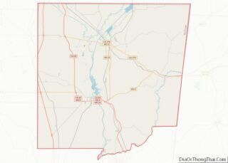
According to the United States Census Bureau, Aberdeen has a total area of 11.0 square miles (28 km), of which 10.7 square miles (28 km) is land and 0.2 square miles (0.52 km) (2.19%) is water.
Climate
The climate in this area is characterized by hot, humid summers and generally mild to cool winters. According to the Köppen Climate Classification system, Aberdeen has a humid subtropical climate, abbreviated “Cfa” on climate maps.
See also
Map of Mississippi State and its subdivision:- Adams
- Alcorn
- Amite
- Attala
- Benton
- Bolivar
- Calhoun
- Carroll
- Chickasaw
- Choctaw
- Claiborne
- Clarke
- Clay
- Coahoma
- Copiah
- Covington
- Desoto
- Forrest
- Franklin
- George
- Greene
- Grenada
- Hancock
- Harrison
- Hinds
- Holmes
- Humphreys
- Issaquena
- Itawamba
- Jackson
- Jasper
- Jefferson
- Jefferson Davis
- Jones
- Kemper
- Lafayette
- Lamar
- Lauderdale
- Lawrence
- Leake
- Lee
- Leflore
- Lincoln
- Lowndes
- Madison
- Marion
- Marshall
- Monroe
- Montgomery
- Neshoba
- Newton
- Noxubee
- Oktibbeha
- Panola
- Pearl River
- Perry
- Pike
- Pontotoc
- Prentiss
- Quitman
- Rankin
- Scott
- Sharkey
- Simpson
- Smith
- Stone
- Sunflower
- Tallahatchie
- Tate
- Tippah
- Tishomingo
- Tunica
- Union
- Walthall
- Warren
- Washington
- Wayne
- Webster
- Wilkinson
- Winston
- Yalobusha
- Yazoo
- Alabama
- Alaska
- Arizona
- Arkansas
- California
- Colorado
- Connecticut
- Delaware
- District of Columbia
- Florida
- Georgia
- Hawaii
- Idaho
- Illinois
- Indiana
- Iowa
- Kansas
- Kentucky
- Louisiana
- Maine
- Maryland
- Massachusetts
- Michigan
- Minnesota
- Mississippi
- Missouri
- Montana
- Nebraska
- Nevada
- New Hampshire
- New Jersey
- New Mexico
- New York
- North Carolina
- North Dakota
- Ohio
- Oklahoma
- Oregon
- Pennsylvania
- Rhode Island
- South Carolina
- South Dakota
- Tennessee
- Texas
- Utah
- Vermont
- Virginia
- Washington
- West Virginia
- Wisconsin
- Wyoming
