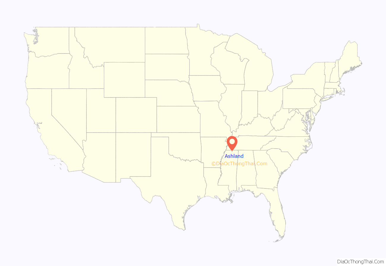
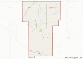
Ashland is a town in Benton County, Mississippi, United States and the county seat. The population was 551 at the 2020 census, down from 569 at the 2010 census. Ashland was incorporated on March 8, 1871, and has a Mayor-Aldermen form of government. Mitch Carroll is the 28th mayor of Ashland.
| Name: | Ashland town |
|---|---|
| LSAD Code: | 43 |
| LSAD Description: | town (suffix) |
| State: | Mississippi |
| County: | Benton County |
| Elevation: | 643 ft (196 m) |
| Total Area: | 1.82 sq mi (4.72 km²) |
| Land Area: | 1.82 sq mi (4.72 km²) |
| Water Area: | 0.00 sq mi (0.00 km²) |
| Total Population: | 551 |
| Population Density: | 302.08/sq mi (116.62/km²) |
| ZIP code: | 38603 |
| Area code: | 662 |
| FIPS code: | 2802140 |
| GNISfeature ID: | 0692421 |
| Website: | www.ashland.ms |
Online Interactive Map
Click on ![]() to view map in "full screen" mode.
to view map in "full screen" mode.
Ashland location map. Where is Ashland town?
History
Ashland was established in 1871 as the county seat for the Benton County, which had been created the previous year. The Benton County Courthouse, the focus of the town’s main square, was constructed in 1873. Many of Ashland’s earliest residents had relocated from Salem, an older community to the west that had been destroyed during the Civil War.
Ashland Road Map
Ashland city Satellite Map
Geography
Ashland is 18 miles (29 km) east of Holly Springs. The town is concentrated along Mississippi Highway 370, east of its intersection with Mississippi Highway 5. The Tennessee border is 14 miles (23 km) to the north.
According to the United States Census Bureau, Ashland has a total area of 1.8 square miles (4.7 km), all land.
Climate
The climate in this area is characterized by hot, humid summers and generally mild to cool winters. According to the Köppen Climate Classification system, Ashland has a humid subtropical climate, abbreviated “Cfa” on climate maps.
See also
Map of Mississippi State and its subdivision:- Adams
- Alcorn
- Amite
- Attala
- Benton
- Bolivar
- Calhoun
- Carroll
- Chickasaw
- Choctaw
- Claiborne
- Clarke
- Clay
- Coahoma
- Copiah
- Covington
- Desoto
- Forrest
- Franklin
- George
- Greene
- Grenada
- Hancock
- Harrison
- Hinds
- Holmes
- Humphreys
- Issaquena
- Itawamba
- Jackson
- Jasper
- Jefferson
- Jefferson Davis
- Jones
- Kemper
- Lafayette
- Lamar
- Lauderdale
- Lawrence
- Leake
- Lee
- Leflore
- Lincoln
- Lowndes
- Madison
- Marion
- Marshall
- Monroe
- Montgomery
- Neshoba
- Newton
- Noxubee
- Oktibbeha
- Panola
- Pearl River
- Perry
- Pike
- Pontotoc
- Prentiss
- Quitman
- Rankin
- Scott
- Sharkey
- Simpson
- Smith
- Stone
- Sunflower
- Tallahatchie
- Tate
- Tippah
- Tishomingo
- Tunica
- Union
- Walthall
- Warren
- Washington
- Wayne
- Webster
- Wilkinson
- Winston
- Yalobusha
- Yazoo
- Alabama
- Alaska
- Arizona
- Arkansas
- California
- Colorado
- Connecticut
- Delaware
- District of Columbia
- Florida
- Georgia
- Hawaii
- Idaho
- Illinois
- Indiana
- Iowa
- Kansas
- Kentucky
- Louisiana
- Maine
- Maryland
- Massachusetts
- Michigan
- Minnesota
- Mississippi
- Missouri
- Montana
- Nebraska
- Nevada
- New Hampshire
- New Jersey
- New Mexico
- New York
- North Carolina
- North Dakota
- Ohio
- Oklahoma
- Oregon
- Pennsylvania
- Rhode Island
- South Carolina
- South Dakota
- Tennessee
- Texas
- Utah
- Vermont
- Virginia
- Washington
- West Virginia
- Wisconsin
- Wyoming


