Hickory Flat is a town in Benton County, Mississippi, United States. The population was 601 at the 2010 census.
| Name: | Hickory Flat town |
|---|---|
| LSAD Code: | 43 |
| LSAD Description: | town (suffix) |
| State: | Mississippi |
| County: | Benton County |
| Elevation: | 423 ft (129 m) |
| Total Area: | 0.96 sq mi (2.48 km²) |
| Land Area: | 0.96 sq mi (2.48 km²) |
| Water Area: | 0.00 sq mi (0.00 km²) |
| Total Population: | 496 |
| Population Density: | 517.75/sq mi (199.96/km²) |
| ZIP code: | 38633 |
| Area code: | 662 |
| FIPS code: | 2832020 |
| GNISfeature ID: | 0693465 |
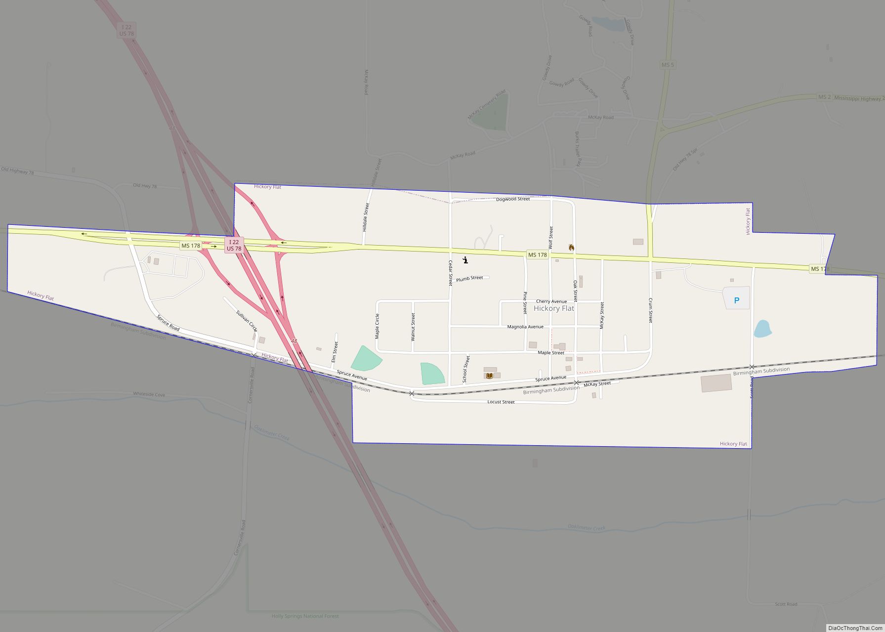
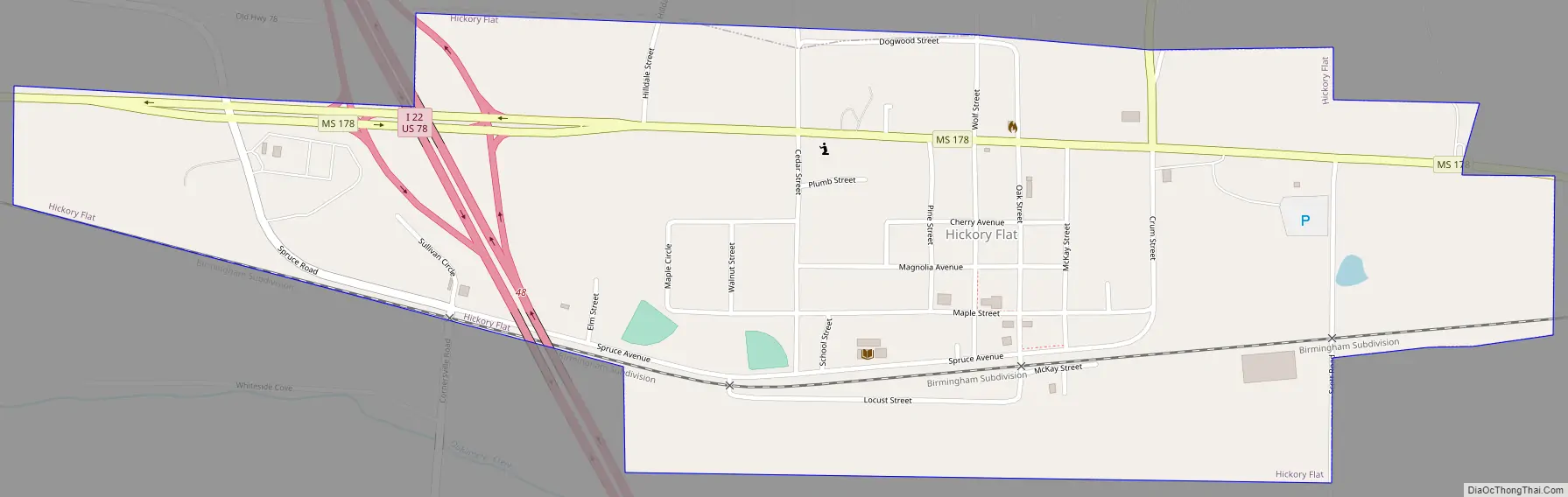
Online Interactive Map
Click on ![]() to view map in "full screen" mode.
to view map in "full screen" mode.
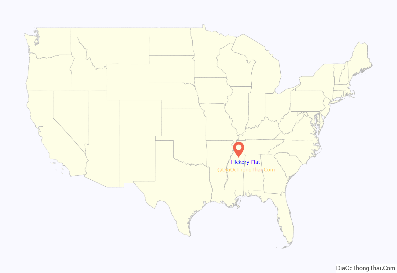
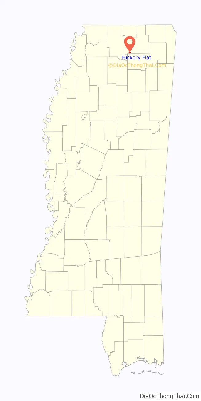
Hickory Flat location map. Where is Hickory Flat town?
History
Hickory Flat was named from a nearby grove of hickory trees.
Hickory Flat Road Map
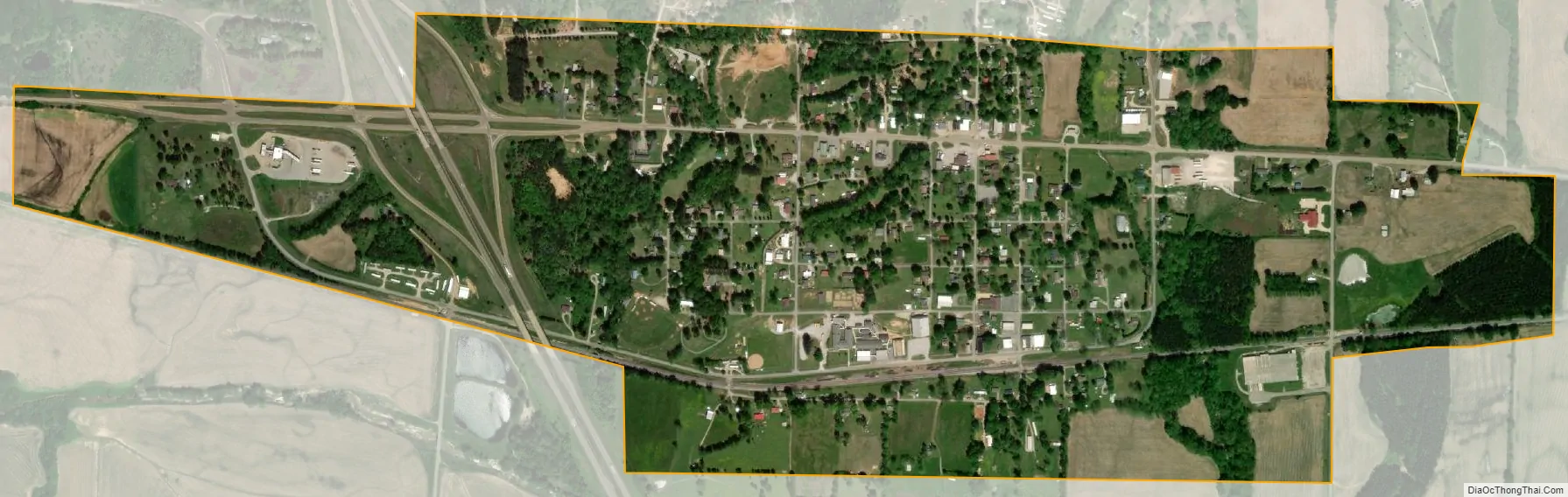
Hickory Flat city Satellite Map
Geography
Hickory Flat is located at 34°36′57″N 89°11′18″W / 34.61583°N 89.18833°W / 34.61583; -89.18833 (34.6159, -89.1884). U.S. Route 78, a freeway, serves the town via Exit 48. Mississippi Highway 178, following the former route of US 78, runs through the center of the town. Via US 78, it is 20 miles (32 km) northwest to Holly Springs, 65 miles (105 km) northwest to Memphis, 14 miles (23 km) southeast to New Albany, and 42 miles (68 km) southeast to Tupelo.
According to the United States Census Bureau, the town of Hickory Flat has a total area of 0.97 square miles (2.5 km), all land.
See also
Map of Mississippi State and its subdivision:- Adams
- Alcorn
- Amite
- Attala
- Benton
- Bolivar
- Calhoun
- Carroll
- Chickasaw
- Choctaw
- Claiborne
- Clarke
- Clay
- Coahoma
- Copiah
- Covington
- Desoto
- Forrest
- Franklin
- George
- Greene
- Grenada
- Hancock
- Harrison
- Hinds
- Holmes
- Humphreys
- Issaquena
- Itawamba
- Jackson
- Jasper
- Jefferson
- Jefferson Davis
- Jones
- Kemper
- Lafayette
- Lamar
- Lauderdale
- Lawrence
- Leake
- Lee
- Leflore
- Lincoln
- Lowndes
- Madison
- Marion
- Marshall
- Monroe
- Montgomery
- Neshoba
- Newton
- Noxubee
- Oktibbeha
- Panola
- Pearl River
- Perry
- Pike
- Pontotoc
- Prentiss
- Quitman
- Rankin
- Scott
- Sharkey
- Simpson
- Smith
- Stone
- Sunflower
- Tallahatchie
- Tate
- Tippah
- Tishomingo
- Tunica
- Union
- Walthall
- Warren
- Washington
- Wayne
- Webster
- Wilkinson
- Winston
- Yalobusha
- Yazoo
- Alabama
- Alaska
- Arizona
- Arkansas
- California
- Colorado
- Connecticut
- Delaware
- District of Columbia
- Florida
- Georgia
- Hawaii
- Idaho
- Illinois
- Indiana
- Iowa
- Kansas
- Kentucky
- Louisiana
- Maine
- Maryland
- Massachusetts
- Michigan
- Minnesota
- Mississippi
- Missouri
- Montana
- Nebraska
- Nevada
- New Hampshire
- New Jersey
- New Mexico
- New York
- North Carolina
- North Dakota
- Ohio
- Oklahoma
- Oregon
- Pennsylvania
- Rhode Island
- South Carolina
- South Dakota
- Tennessee
- Texas
- Utah
- Vermont
- Virginia
- Washington
- West Virginia
- Wisconsin
- Wyoming