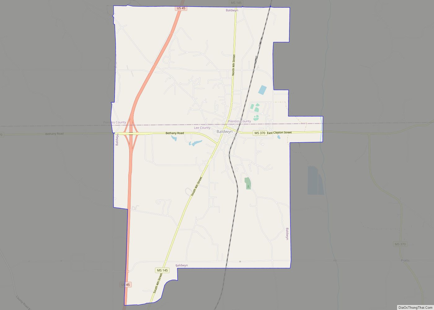
Baldwyn is a city located in Lee and Prentiss counties, Mississippi, located in the northern part of the Tupelo micropolitan area. The population was 3,071 at the 2020 census.
| Name: | Baldwyn city |
|---|---|
| LSAD Code: | 25 |
| LSAD Description: | city (suffix) |
| State: | Mississippi |
| County: | Lee County, Prentiss County |
| Incorporated: | April 1, 1861(162 years ago) (1861-04-01) |
| Elevation: | 404 ft (123 m) |
| Total Area: | 11.64 sq mi (30.15 km²) |
| Land Area: | 11.59 sq mi (30.03 km²) |
| Water Area: | 0.05 sq mi (0.12 km²) |
| Total Population: | 3,071 |
| Population Density: | 264.88/sq mi (102.27/km²) |
| Area code: | 662 |
| FIPS code: | 2802700 |
| GNISfeature ID: | 666483 |
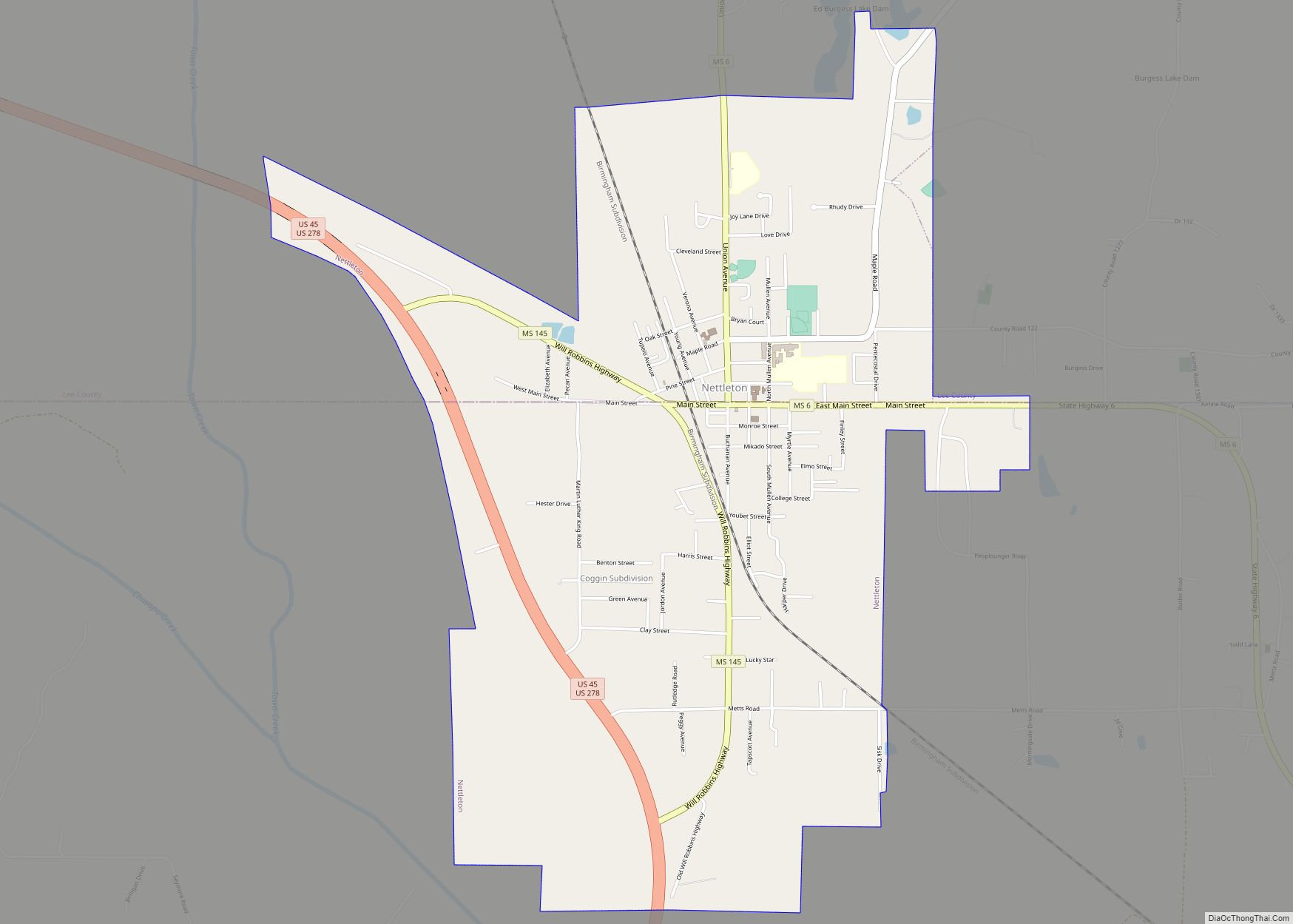
Online Interactive Map
Click on ![]() to view map in "full screen" mode.
to view map in "full screen" mode.
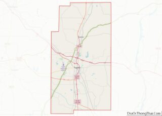
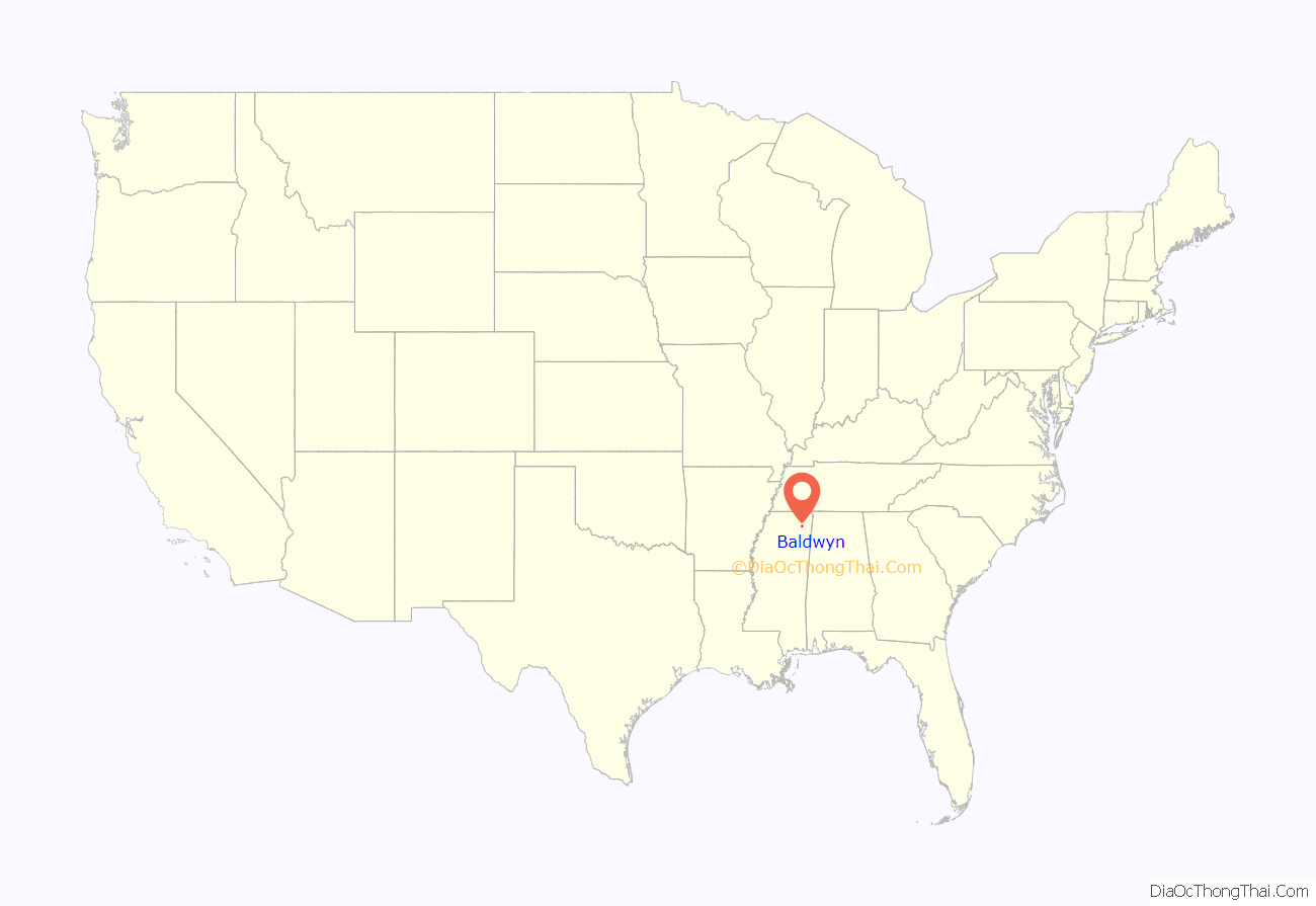
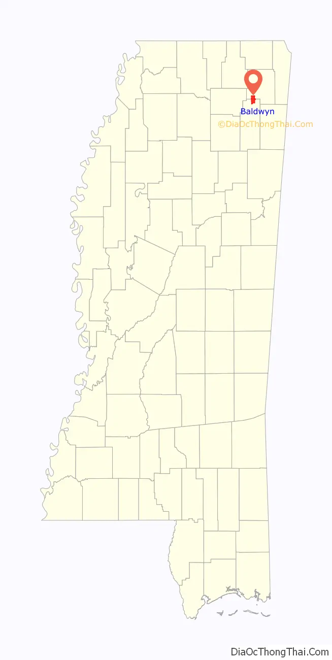
Baldwyn location map. Where is Baldwyn city?
History
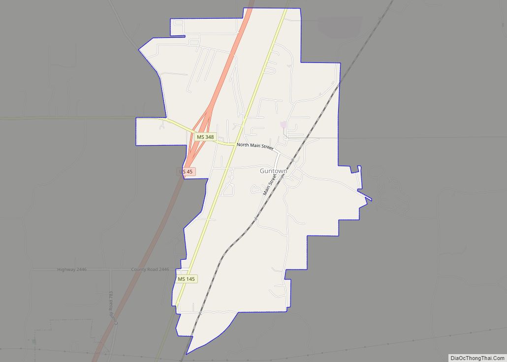
Located five miles north of Guntown, the main street of Baldwyn runs along the county line of Lee and Prentiss counties. Baldwyn has the unusual distinction of having been incorporated in four counties. It was incorporated by an act of the Legislature in Tishomingo and Itawamba counties on April 1, 1861. Lee county was formed from parts of Itawamba and Pontotoc on October 26, 1866, while Tishomingo was divided into Alcorn, Prentiss, and Tishomingo on April 15, 1870.
Baldwyn is an outgrowth of the village of Carrollville: when the Mobile and Ohio Railroad was being built during the years of 1848 to 1861, it missed Carrollville by one and one-half miles and the citizens moved to the new town of Baldwyn, which was named for the civil engineer who surveyed the road through the town. Tishomingo, chief of the Chickasaw nation, lived at Carrollville but died near Little Rock, Arkansas, in 1839 of smallpox while being moved west with his tribe.
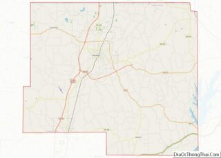
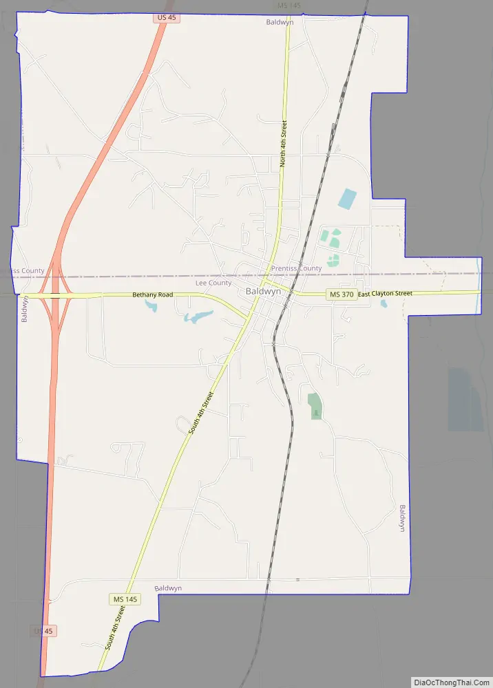
Baldwyn Road Map
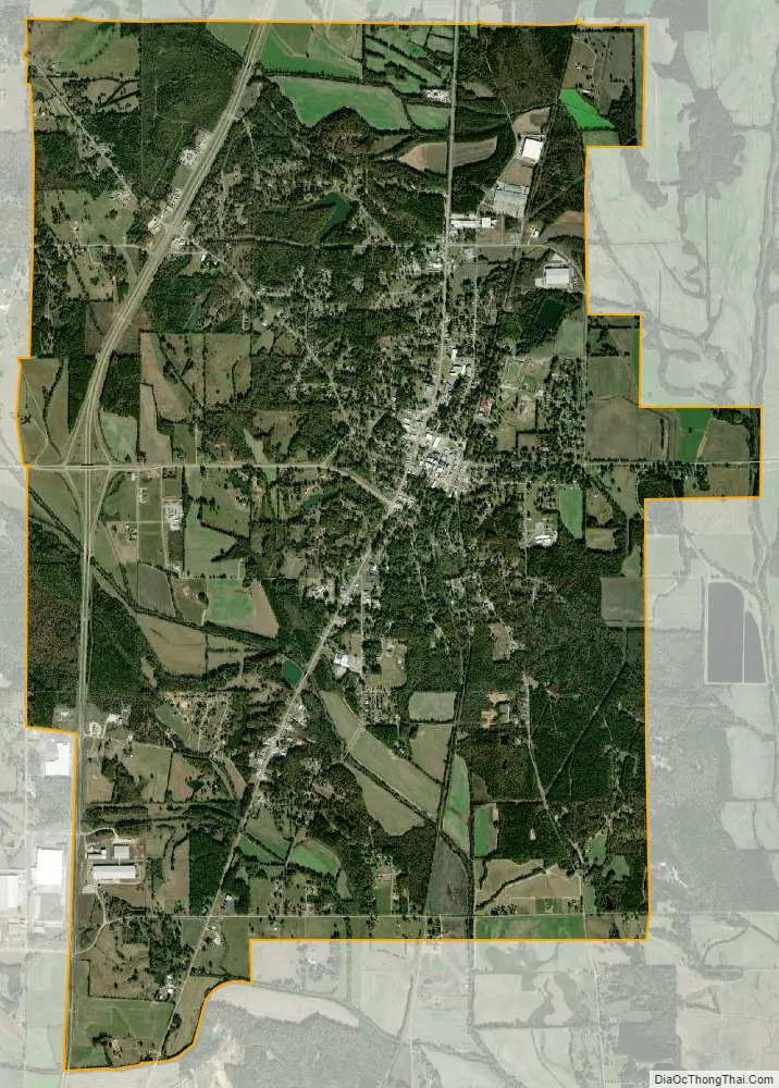
Baldwyn city Satellite Map
Geography
In the 2000 census, 1,892 of the city’s 3,321 residents (57.0%) lived in Prentiss county and 1,429 (43.0%) in Lee county. According to the U.S. Census Bureau, the city has a total area of 11.6 square miles (30.0 km), of which 11.5 square miles (29.9 km) is land and 0.1 square mile (0.1 km) (0.43%) is water.
See also
Map of Mississippi State and its subdivision:- Adams
- Alcorn
- Amite
- Attala
- Benton
- Bolivar
- Calhoun
- Carroll
- Chickasaw
- Choctaw
- Claiborne
- Clarke
- Clay
- Coahoma
- Copiah
- Covington
- Desoto
- Forrest
- Franklin
- George
- Greene
- Grenada
- Hancock
- Harrison
- Hinds
- Holmes
- Humphreys
- Issaquena
- Itawamba
- Jackson
- Jasper
- Jefferson
- Jefferson Davis
- Jones
- Kemper
- Lafayette
- Lamar
- Lauderdale
- Lawrence
- Leake
- Lee
- Leflore
- Lincoln
- Lowndes
- Madison
- Marion
- Marshall
- Monroe
- Montgomery
- Neshoba
- Newton
- Noxubee
- Oktibbeha
- Panola
- Pearl River
- Perry
- Pike
- Pontotoc
- Prentiss
- Quitman
- Rankin
- Scott
- Sharkey
- Simpson
- Smith
- Stone
- Sunflower
- Tallahatchie
- Tate
- Tippah
- Tishomingo
- Tunica
- Union
- Walthall
- Warren
- Washington
- Wayne
- Webster
- Wilkinson
- Winston
- Yalobusha
- Yazoo
- Alabama
- Alaska
- Arizona
- Arkansas
- California
- Colorado
- Connecticut
- Delaware
- District of Columbia
- Florida
- Georgia
- Hawaii
- Idaho
- Illinois
- Indiana
- Iowa
- Kansas
- Kentucky
- Louisiana
- Maine
- Maryland
- Massachusetts
- Michigan
- Minnesota
- Mississippi
- Missouri
- Montana
- Nebraska
- Nevada
- New Hampshire
- New Jersey
- New Mexico
- New York
- North Carolina
- North Dakota
- Ohio
- Oklahoma
- Oregon
- Pennsylvania
- Rhode Island
- South Carolina
- South Dakota
- Tennessee
- Texas
- Utah
- Vermont
- Virginia
- Washington
- West Virginia
- Wisconsin
- Wyoming