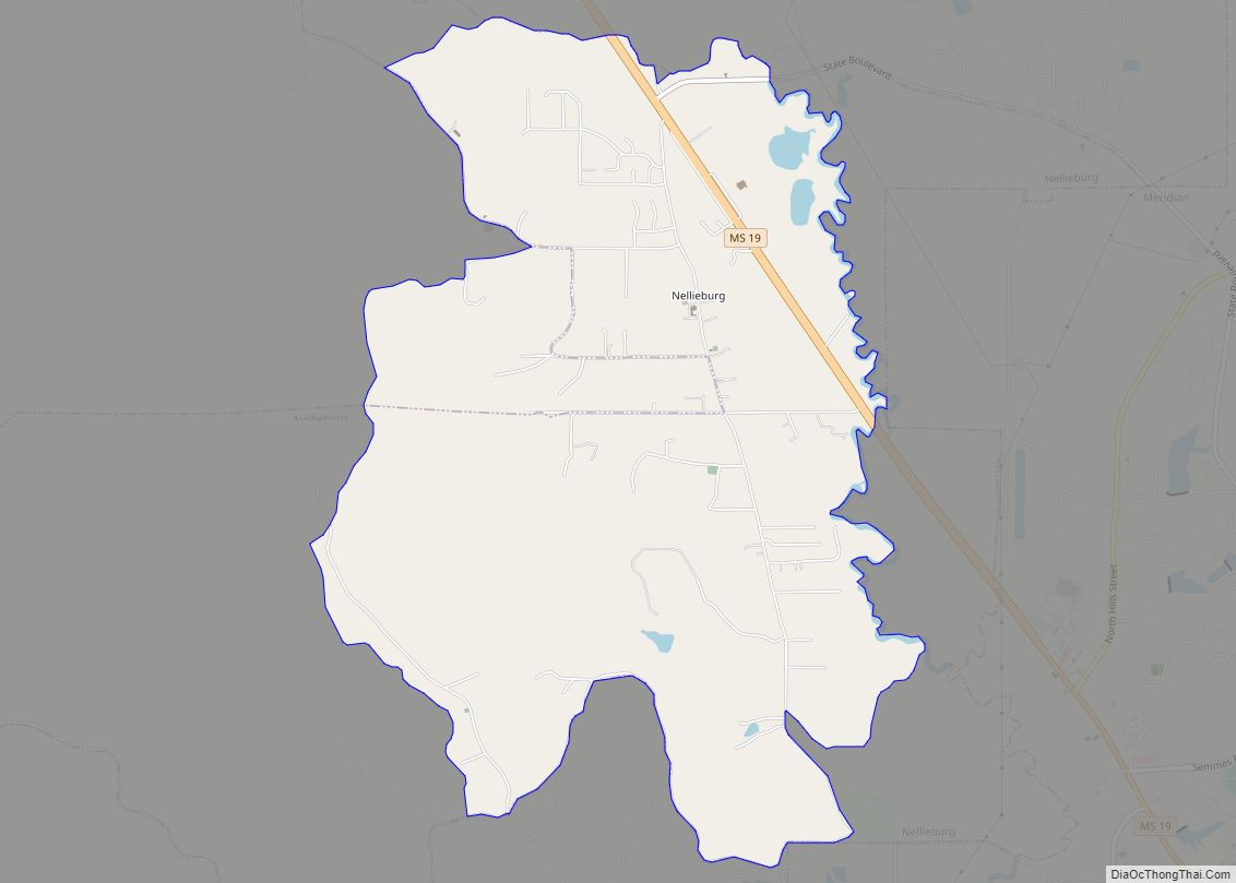
Collinsville is an unincorporated community and census-designated place (CDP) in Lauderdale County, Mississippi, United States. The population was 1,984 at the 2020 census.
| Name: | Collinsville CDP |
|---|---|
| LSAD Code: | 57 |
| LSAD Description: | CDP (suffix) |
| State: | Mississippi |
| County: | Lauderdale County |
| Elevation: | 463 ft (141 m) |
| Total Area: | 14.28 sq mi (36.97 km²) |
| Land Area: | 14.25 sq mi (36.90 km²) |
| Water Area: | 0.03 sq mi (0.07 km²) |
| Total Population: | 1,984 |
| Population Density: | 139.24/sq mi (53.76/km²) |
| ZIP code: | 39325 |
| Area code: | 601 |
| FIPS code: | 2815180 |
| GNISfeature ID: | 0668706 |
Online Interactive Map
Click on ![]() to view map in "full screen" mode.
to view map in "full screen" mode.
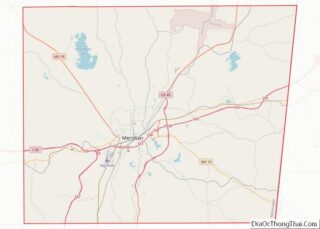
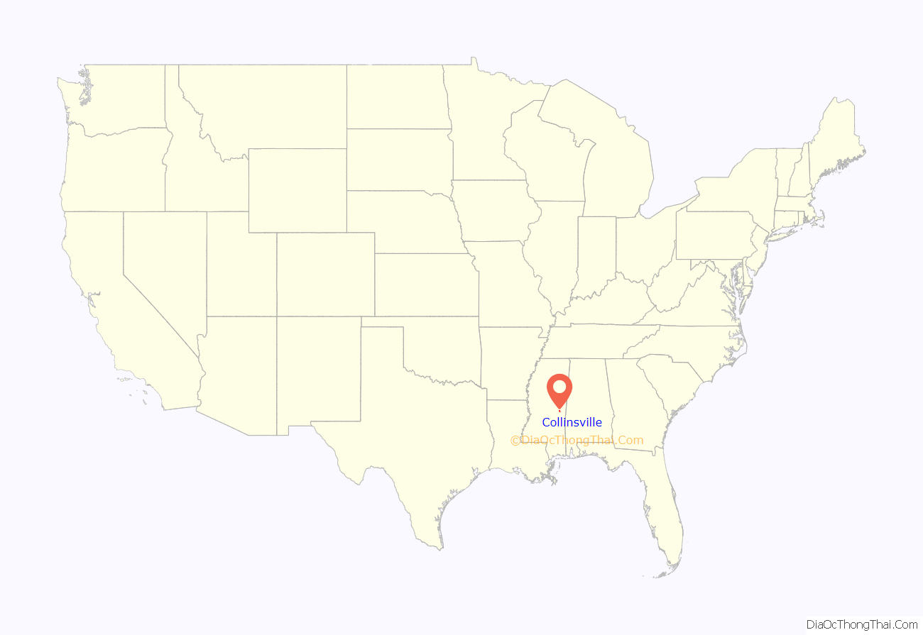
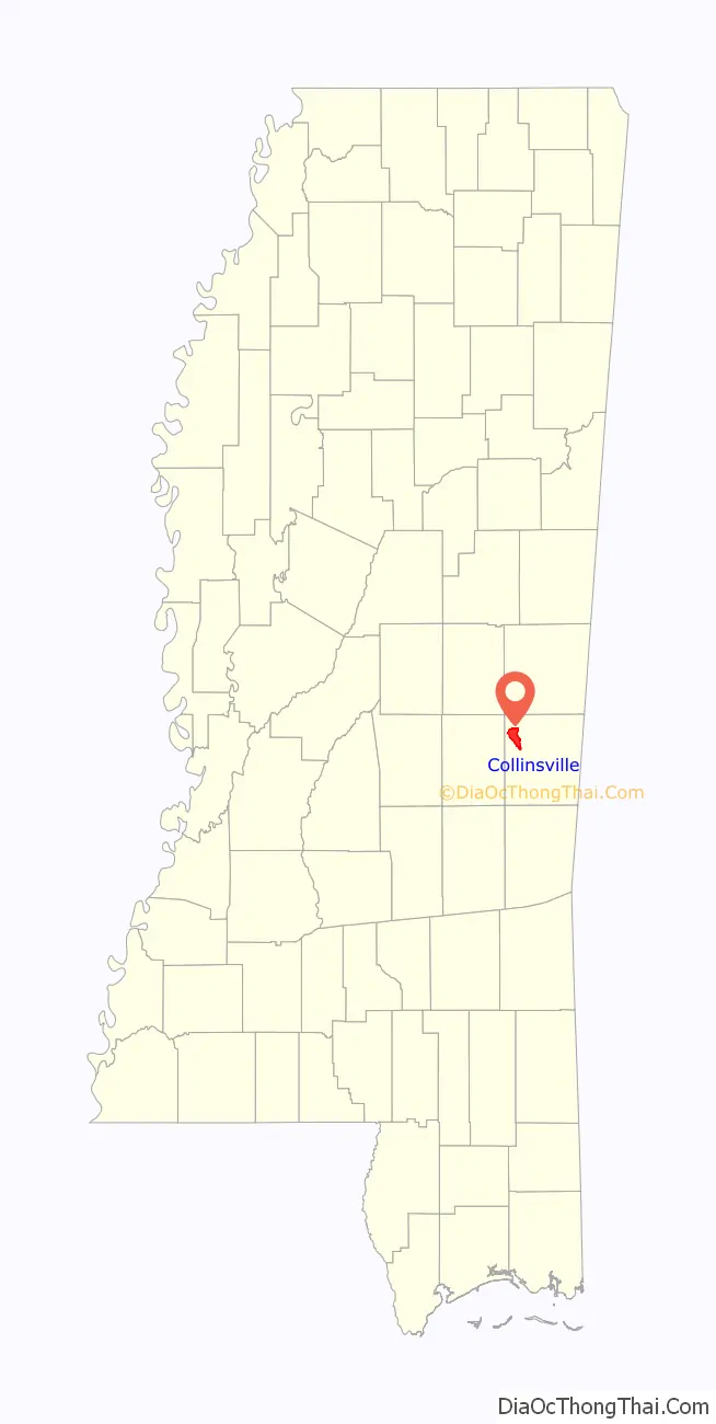
Collinsville location map. Where is Collinsville CDP?
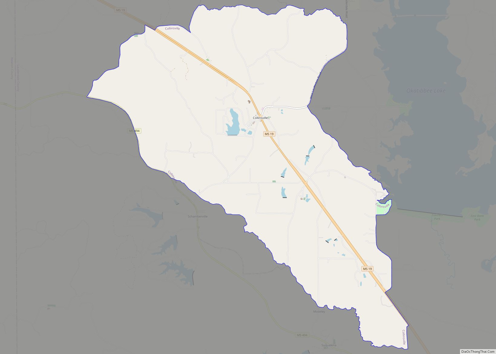
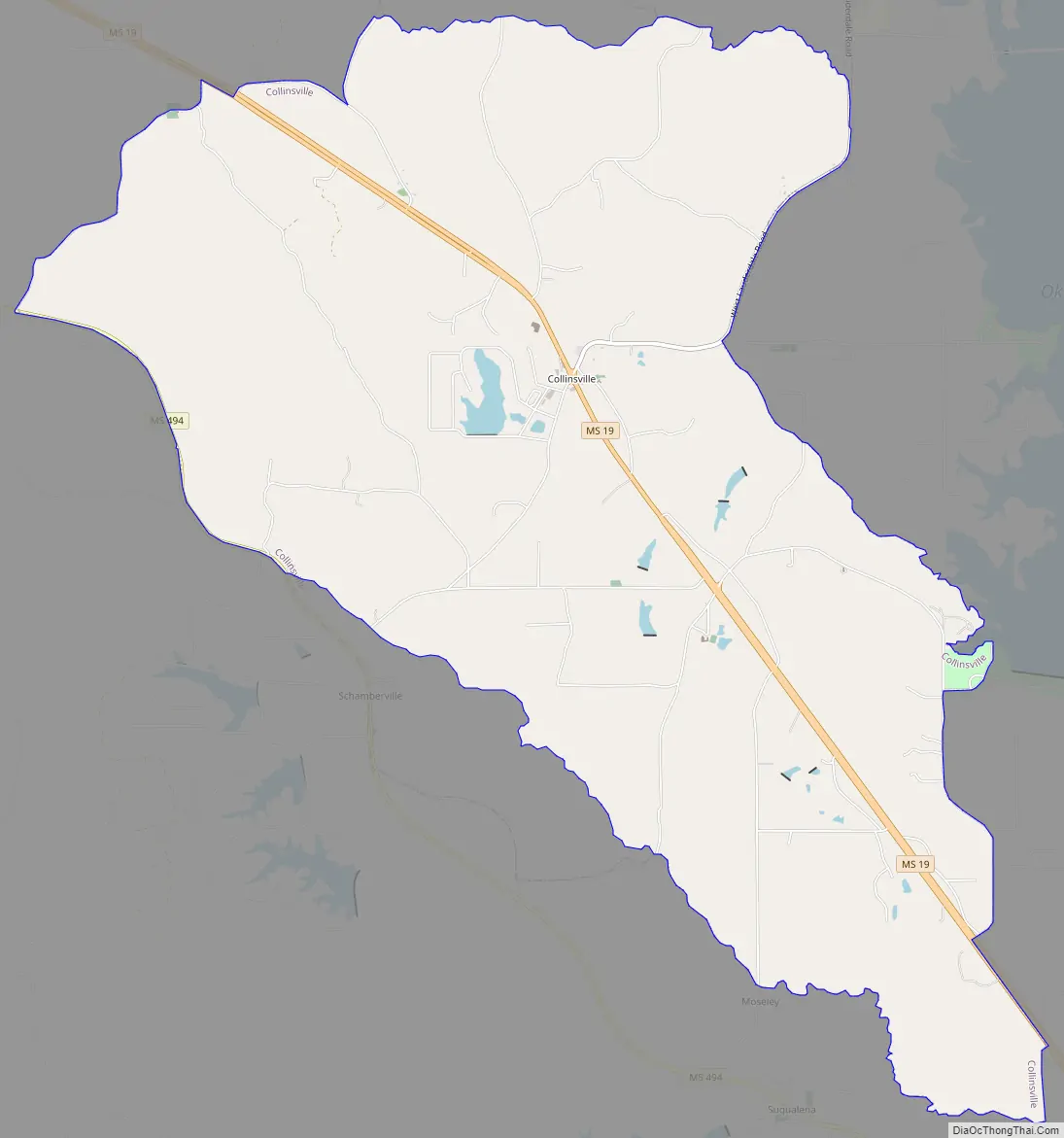
Collinsville Road Map
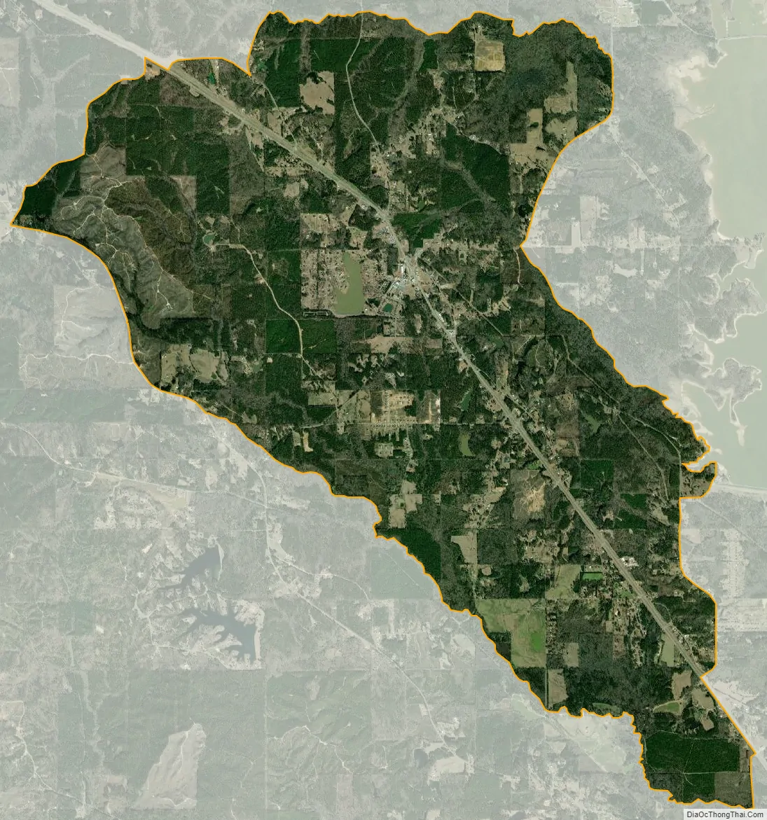
Collinsville city Satellite Map
Geography
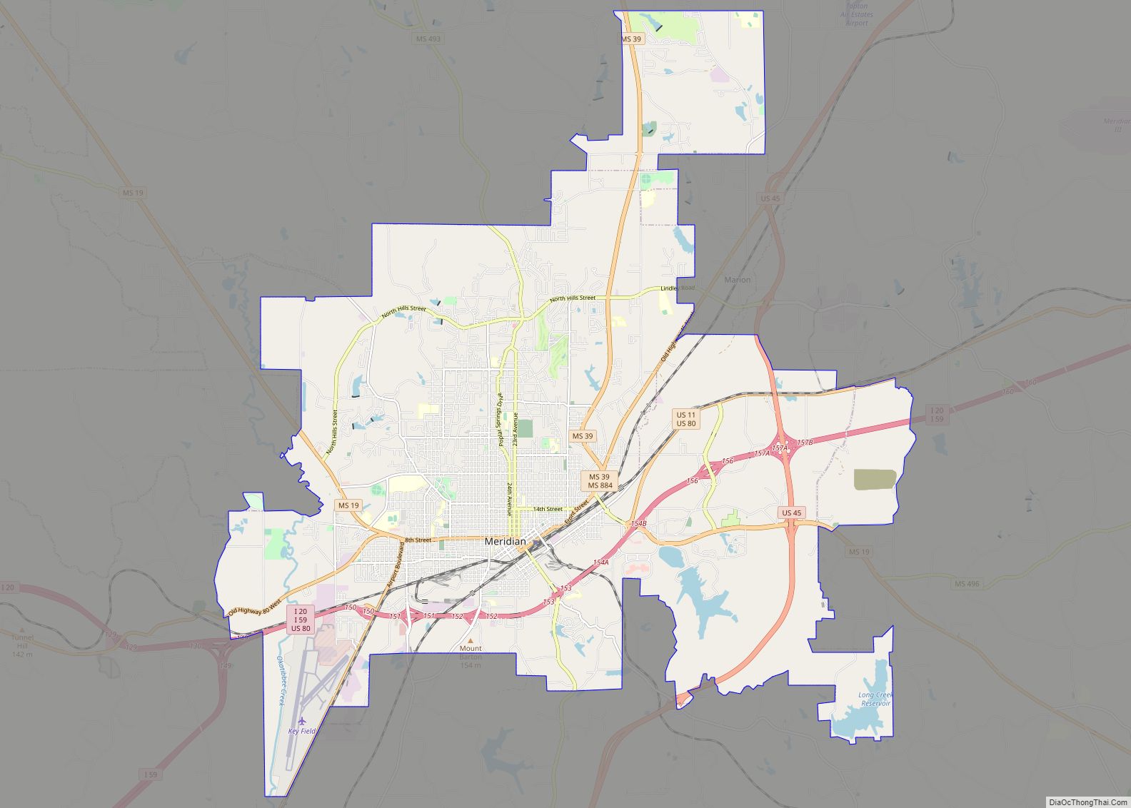
Collinsville is located in northwestern Lauderdale County at 32°29′16″N 88°50′39″W / 32.48778°N 88.84417°W / 32.48778; -88.84417 (32.487906, -88.844205). Mississippi Highway 19 passes through the community, leading southeast 13 miles (21 km) to Meridian, the county seat, and northwest 26 miles (42 km) to Philadelphia.
According to the United States Census Bureau, the CDP has a total area of 14.3 square miles (37.0 km), of which 0.03 square miles (0.07 km), or 0.18%, are water. The town and Highway 19 lie on a low ridge separating Suqualena Creek to the west and Twitley Branch to the east, both of which are tributaries of Okatibbee Creek and part of the Chickasawhay/Pascagoula River watershed. Okatibbee Dam, forming 5.9-square-mile (15 km) Okatibbee Lake, is at the eastern edge of the Collinsville CDP.
See also
Map of Mississippi State and its subdivision:- Adams
- Alcorn
- Amite
- Attala
- Benton
- Bolivar
- Calhoun
- Carroll
- Chickasaw
- Choctaw
- Claiborne
- Clarke
- Clay
- Coahoma
- Copiah
- Covington
- Desoto
- Forrest
- Franklin
- George
- Greene
- Grenada
- Hancock
- Harrison
- Hinds
- Holmes
- Humphreys
- Issaquena
- Itawamba
- Jackson
- Jasper
- Jefferson
- Jefferson Davis
- Jones
- Kemper
- Lafayette
- Lamar
- Lauderdale
- Lawrence
- Leake
- Lee
- Leflore
- Lincoln
- Lowndes
- Madison
- Marion
- Marshall
- Monroe
- Montgomery
- Neshoba
- Newton
- Noxubee
- Oktibbeha
- Panola
- Pearl River
- Perry
- Pike
- Pontotoc
- Prentiss
- Quitman
- Rankin
- Scott
- Sharkey
- Simpson
- Smith
- Stone
- Sunflower
- Tallahatchie
- Tate
- Tippah
- Tishomingo
- Tunica
- Union
- Walthall
- Warren
- Washington
- Wayne
- Webster
- Wilkinson
- Winston
- Yalobusha
- Yazoo
- Alabama
- Alaska
- Arizona
- Arkansas
- California
- Colorado
- Connecticut
- Delaware
- District of Columbia
- Florida
- Georgia
- Hawaii
- Idaho
- Illinois
- Indiana
- Iowa
- Kansas
- Kentucky
- Louisiana
- Maine
- Maryland
- Massachusetts
- Michigan
- Minnesota
- Mississippi
- Missouri
- Montana
- Nebraska
- Nevada
- New Hampshire
- New Jersey
- New Mexico
- New York
- North Carolina
- North Dakota
- Ohio
- Oklahoma
- Oregon
- Pennsylvania
- Rhode Island
- South Carolina
- South Dakota
- Tennessee
- Texas
- Utah
- Vermont
- Virginia
- Washington
- West Virginia
- Wisconsin
- Wyoming