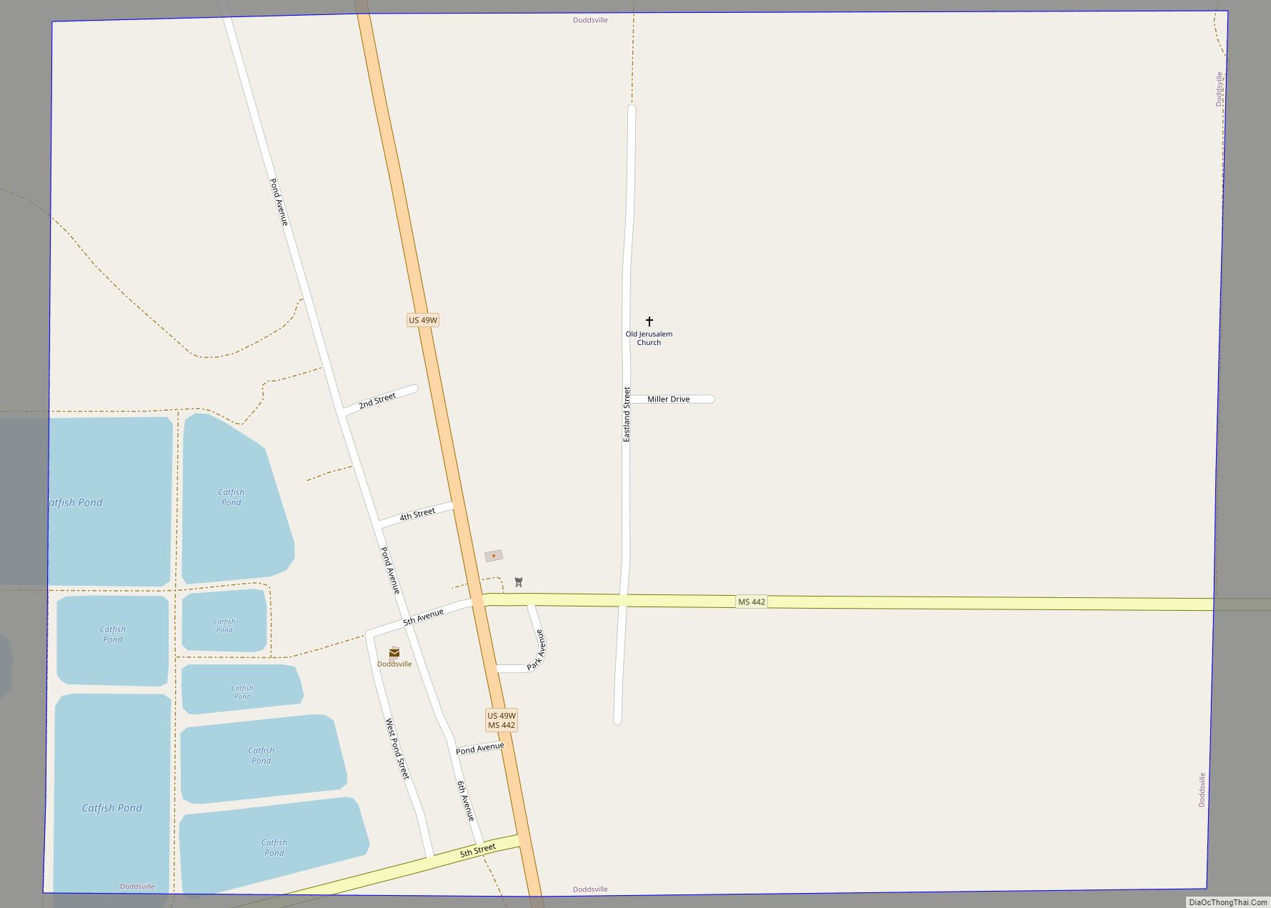
Doddsville is a town in Sunflower County, Mississippi. The population was 98 at the 2010 census. It was established by Daniel Doddsman Sr. in 1889.
| Name: | Doddsville town |
|---|---|
| LSAD Code: | 43 |
| LSAD Description: | town (suffix) |
| State: | Mississippi |
| County: | Sunflower County |
| Elevation: | 131 ft (40 m) |
| Total Area: | 0.77 sq mi (1.99 km²) |
| Land Area: | 0.77 sq mi (1.99 km²) |
| Water Area: | 0.00 sq mi (0.00 km²) |
| Total Population: | 69 |
| Population Density: | 89.96/sq mi (34.75/km²) |
| ZIP code: | 38736 |
| Area code: | 662 |
| FIPS code: | 2819420 |
| GNISfeature ID: | 0669310 |
Online Interactive Map
Click on ![]() to view map in "full screen" mode.
to view map in "full screen" mode.
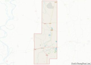
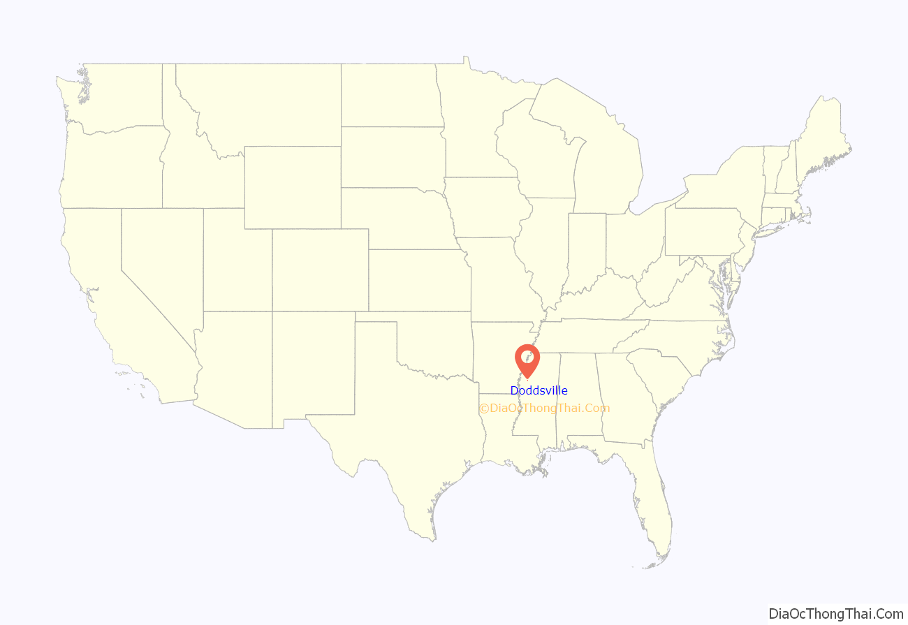
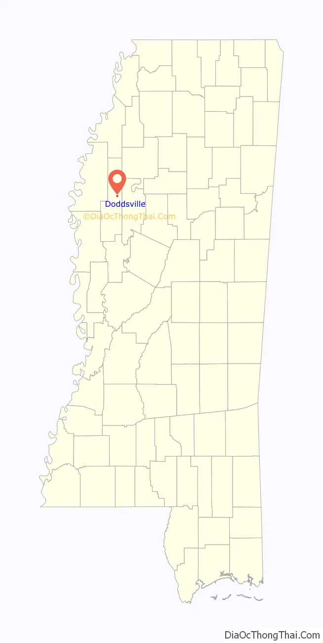
Doddsville location map. Where is Doddsville town?
History
Daniel Doddsman Sr. and his eldest son, Daniel Jr. were early settlers who hauled logs in the area in 1888, and purchased 107 acres (43 ha) of land where the town now stands in 1891. Oliver Eastland, grandfather of U.S. Senator James Eastland, bought a large tract of land near Doddsville in the 1880s, and his son Woods Eastland used black labor to clear the land to create a 2,300 acres (930 ha) plantation.
A landing called “Standing Stump” existed west of Doddsville on the bank of the Sunflower River. When river levels rose in the spring, boats from Vicksburg would follow the Yazoo River and then Sunflower River as far as Standing Stump, where a post office was located.
When the Yazoo Delta Railroad was completed in 1897, a depot was located in the town and named “Doddsville”, after the Dodds brothers. By 1898, Doddsville had five stores, and the Sunflower Lumber Company was founded.
Doddsville was incorporated in 1920, and by 1922 the population was estimated at between 400 and 500. There was a hotel and rooming house, two drug stores with licensed pharmacists, two Chinese groceries, a Café, a dress shop, a school, two churches, a woman’s club, four doctors, and five passenger trains a day. The city hall was located inside the Doddsville Land and Mercantile Company store.
A jail was built in 1952, and a town water system installed in 1963.
Doddsville Road Map
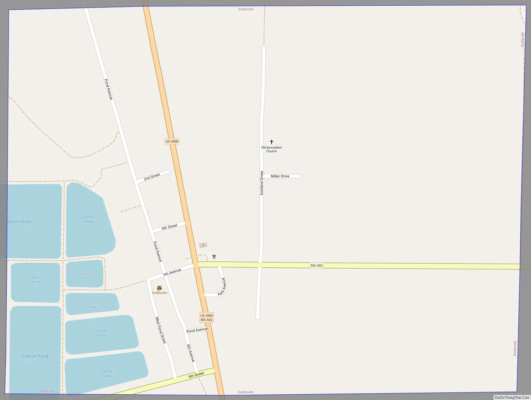
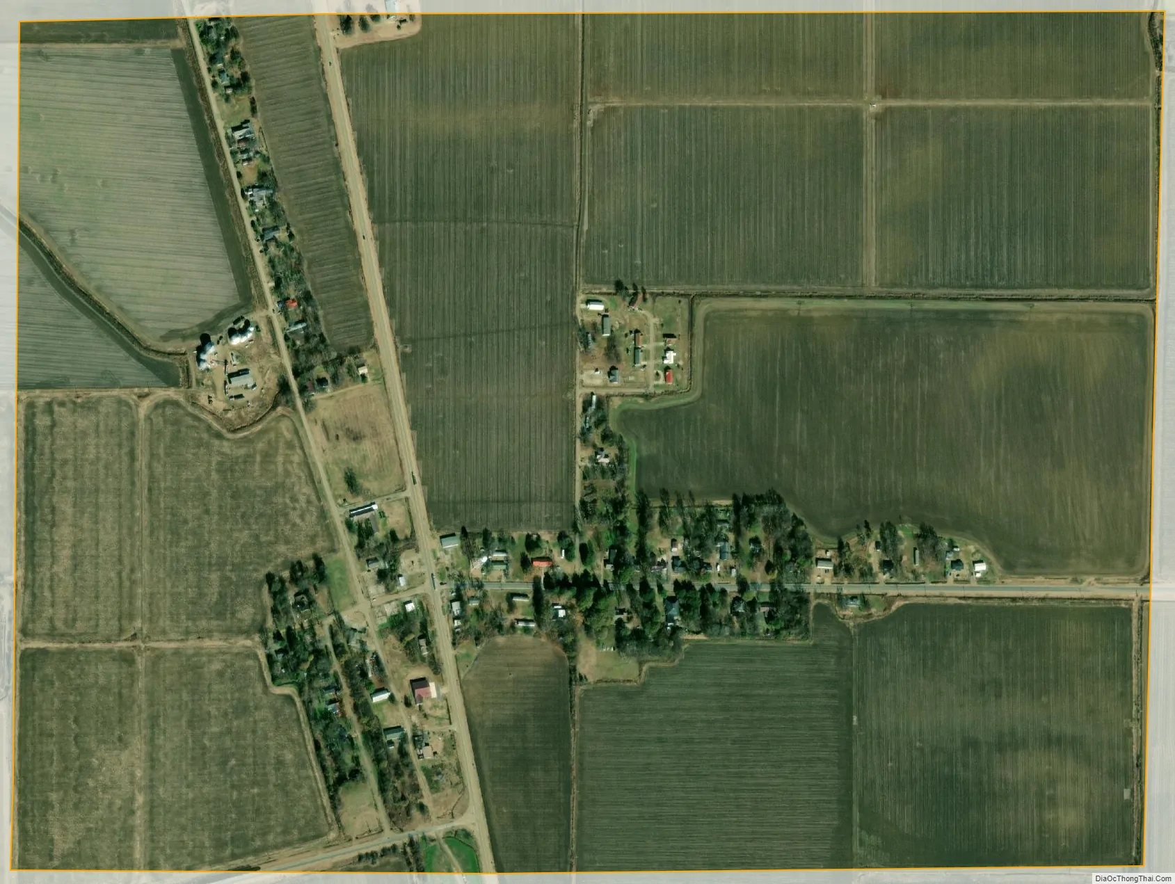
Doddsville city Satellite Map
Geography
According to the United States Census Bureau, the town has a total area of 0.8 square miles (2.1 km), all land.
See also
Map of Mississippi State and its subdivision:- Adams
- Alcorn
- Amite
- Attala
- Benton
- Bolivar
- Calhoun
- Carroll
- Chickasaw
- Choctaw
- Claiborne
- Clarke
- Clay
- Coahoma
- Copiah
- Covington
- Desoto
- Forrest
- Franklin
- George
- Greene
- Grenada
- Hancock
- Harrison
- Hinds
- Holmes
- Humphreys
- Issaquena
- Itawamba
- Jackson
- Jasper
- Jefferson
- Jefferson Davis
- Jones
- Kemper
- Lafayette
- Lamar
- Lauderdale
- Lawrence
- Leake
- Lee
- Leflore
- Lincoln
- Lowndes
- Madison
- Marion
- Marshall
- Monroe
- Montgomery
- Neshoba
- Newton
- Noxubee
- Oktibbeha
- Panola
- Pearl River
- Perry
- Pike
- Pontotoc
- Prentiss
- Quitman
- Rankin
- Scott
- Sharkey
- Simpson
- Smith
- Stone
- Sunflower
- Tallahatchie
- Tate
- Tippah
- Tishomingo
- Tunica
- Union
- Walthall
- Warren
- Washington
- Wayne
- Webster
- Wilkinson
- Winston
- Yalobusha
- Yazoo
- Alabama
- Alaska
- Arizona
- Arkansas
- California
- Colorado
- Connecticut
- Delaware
- District of Columbia
- Florida
- Georgia
- Hawaii
- Idaho
- Illinois
- Indiana
- Iowa
- Kansas
- Kentucky
- Louisiana
- Maine
- Maryland
- Massachusetts
- Michigan
- Minnesota
- Mississippi
- Missouri
- Montana
- Nebraska
- Nevada
- New Hampshire
- New Jersey
- New Mexico
- New York
- North Carolina
- North Dakota
- Ohio
- Oklahoma
- Oregon
- Pennsylvania
- Rhode Island
- South Carolina
- South Dakota
- Tennessee
- Texas
- Utah
- Vermont
- Virginia
- Washington
- West Virginia
- Wisconsin
- Wyoming