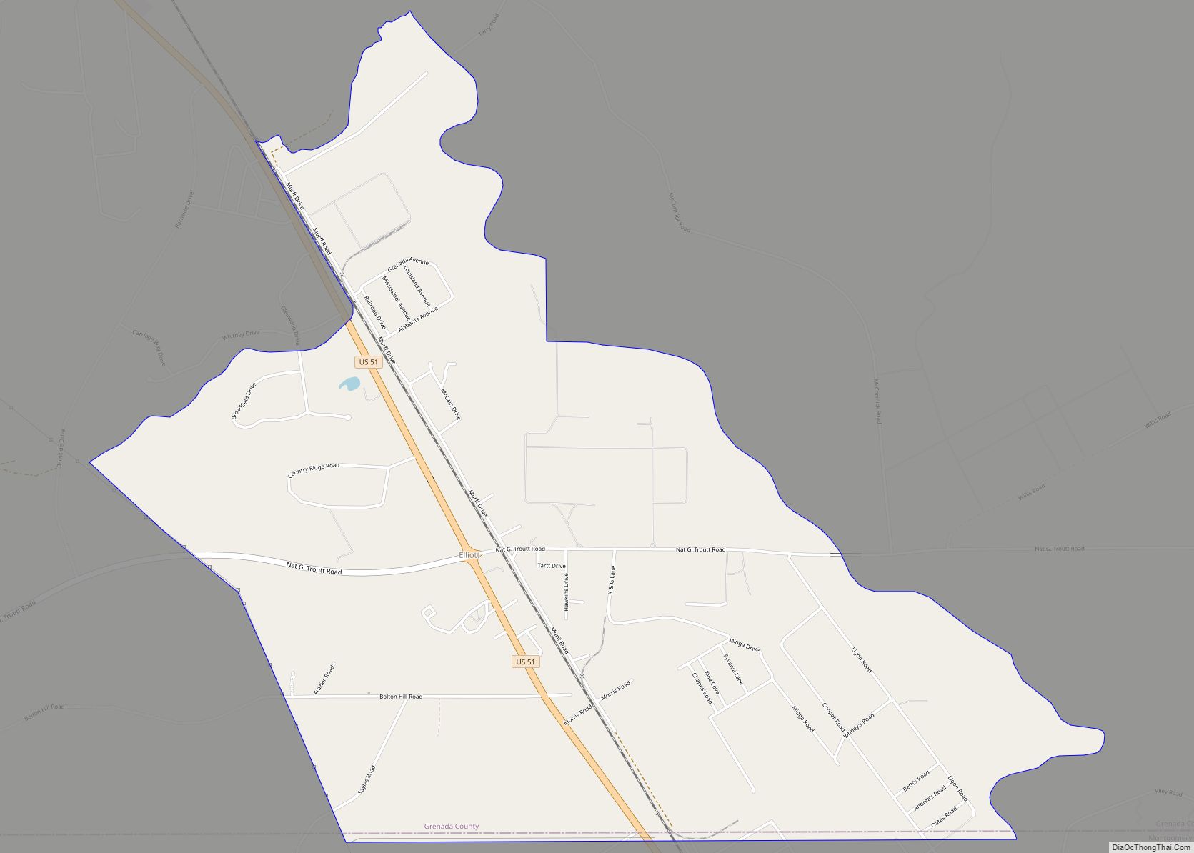
Elliott is an unincorporated community and census-designated place (CDP) in Grenada County, Mississippi, United States, and part of the Grenada Micropolitan Statistical Area. As of the 2010 census it had a population of 990.
Elliott is located on the southern edge of Grenada County, with its southern border following the Montgomery County line. It is along U.S. Route 51, 7 miles (11 km) south of Grenada, the county seat, and 4 miles (6 km) north of Duck Hill. The Camp McCain Training Center of the Mississippi National Guard is 3 miles (5 km) to the east.
According to the U.S. Census Bureau, the Elliott CDP has an area of 4.5 square miles (11.7 km), all of it land. The community is in the valley of Batupan Bogue, a northwest-flowing tributary of the Yalobusha River.
Elliott is located on the former Illinois Central Railroad.
A post office operated under the name Elliott from 1860 to 1964.
| Name: | Elliott CDP |
|---|---|
| LSAD Code: | 57 |
| LSAD Description: | CDP (suffix) |
| State: | Mississippi |
| County: | Grenada County |
| Elevation: | 226 ft (69 m) |
| Total Area: | 4.53 sq mi (11.72 km²) |
| Land Area: | 4.53 sq mi (11.72 km²) |
| Water Area: | 0.00 sq mi (0.00 km²) |
| Total Population: | 880 |
| Population Density: | 194.48/sq mi (75.09/km²) |
| ZIP code: | 38926 |
| Area code: | 662 |
| FIPS code: | 2821940 |
| GNISfeature ID: | 691837 |
Online Interactive Map
Click on ![]() to view map in "full screen" mode.
to view map in "full screen" mode.
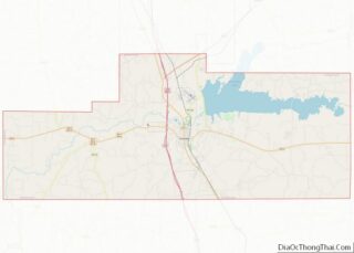
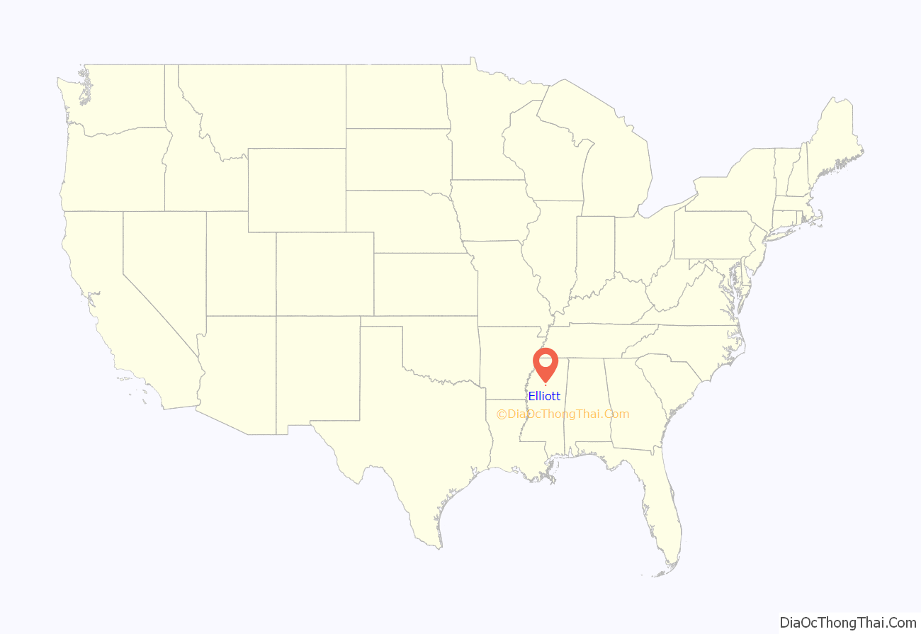
Elliott location map. Where is Elliott CDP?
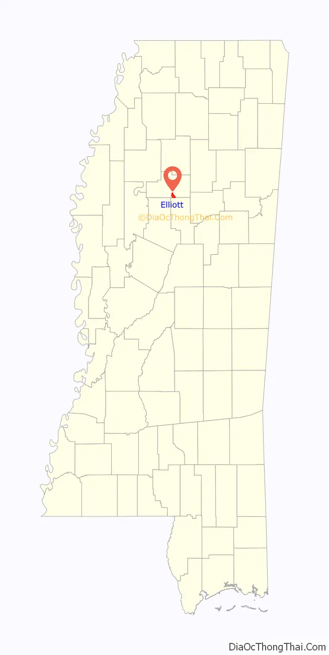
Elliott Road Map
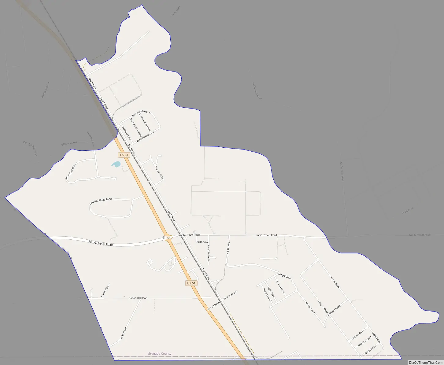
Elliott city Satellite Map

See also
Map of Mississippi State and its subdivision:- Adams
- Alcorn
- Amite
- Attala
- Benton
- Bolivar
- Calhoun
- Carroll
- Chickasaw
- Choctaw
- Claiborne
- Clarke
- Clay
- Coahoma
- Copiah
- Covington
- Desoto
- Forrest
- Franklin
- George
- Greene
- Grenada
- Hancock
- Harrison
- Hinds
- Holmes
- Humphreys
- Issaquena
- Itawamba
- Jackson
- Jasper
- Jefferson
- Jefferson Davis
- Jones
- Kemper
- Lafayette
- Lamar
- Lauderdale
- Lawrence
- Leake
- Lee
- Leflore
- Lincoln
- Lowndes
- Madison
- Marion
- Marshall
- Monroe
- Montgomery
- Neshoba
- Newton
- Noxubee
- Oktibbeha
- Panola
- Pearl River
- Perry
- Pike
- Pontotoc
- Prentiss
- Quitman
- Rankin
- Scott
- Sharkey
- Simpson
- Smith
- Stone
- Sunflower
- Tallahatchie
- Tate
- Tippah
- Tishomingo
- Tunica
- Union
- Walthall
- Warren
- Washington
- Wayne
- Webster
- Wilkinson
- Winston
- Yalobusha
- Yazoo
- Alabama
- Alaska
- Arizona
- Arkansas
- California
- Colorado
- Connecticut
- Delaware
- District of Columbia
- Florida
- Georgia
- Hawaii
- Idaho
- Illinois
- Indiana
- Iowa
- Kansas
- Kentucky
- Louisiana
- Maine
- Maryland
- Massachusetts
- Michigan
- Minnesota
- Mississippi
- Missouri
- Montana
- Nebraska
- Nevada
- New Hampshire
- New Jersey
- New Mexico
- New York
- North Carolina
- North Dakota
- Ohio
- Oklahoma
- Oregon
- Pennsylvania
- Rhode Island
- South Carolina
- South Dakota
- Tennessee
- Texas
- Utah
- Vermont
- Virginia
- Washington
- West Virginia
- Wisconsin
- Wyoming