French Camp is a town in Choctaw County, Mississippi, United States. The population was 174 at the 2010 census, down from 393 in 2000.
| Name: | French Camp town |
|---|---|
| LSAD Code: | 43 |
| LSAD Description: | town (suffix) |
| State: | Mississippi |
| County: | Choctaw County |
| Elevation: | 413 ft (126 m) |
| Total Area: | 0.99 sq mi (2.56 km²) |
| Land Area: | 0.98 sq mi (2.54 km²) |
| Water Area: | 0.01 sq mi (0.02 km²) |
| Population Density: | 260.96/sq mi (100.76/km²) |
| ZIP code: | 39745 |
| Area code: | 662 |
| FIPS code: | 2826020 |
| GNISfeature ID: | 0670200 |
Online Interactive Map
Click on ![]() to view map in "full screen" mode.
to view map in "full screen" mode.
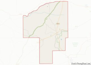
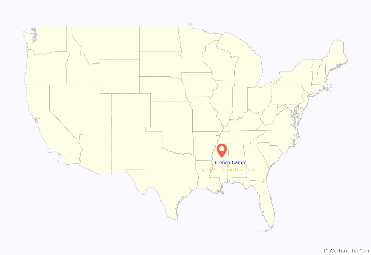
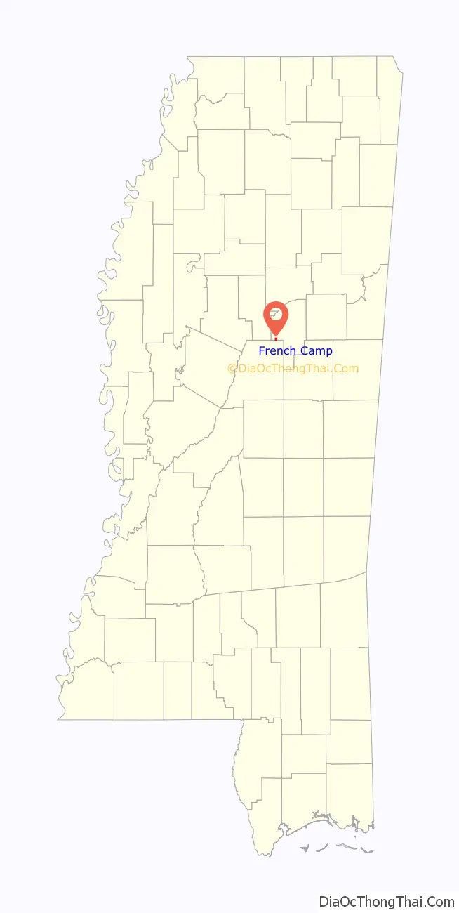
French Camp location map. Where is French Camp town?
History
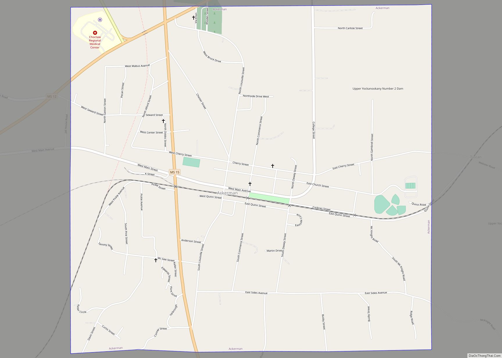
The town dates back to circa 1810, when a Frenchman, Louis Lefleur, established a stand or trading post and inn, on the Natchez Trace. The Choctaw natives and others in the area called it the Frenchman’s Camp. Later it was shortened to French Camp.
French Camp Road Map
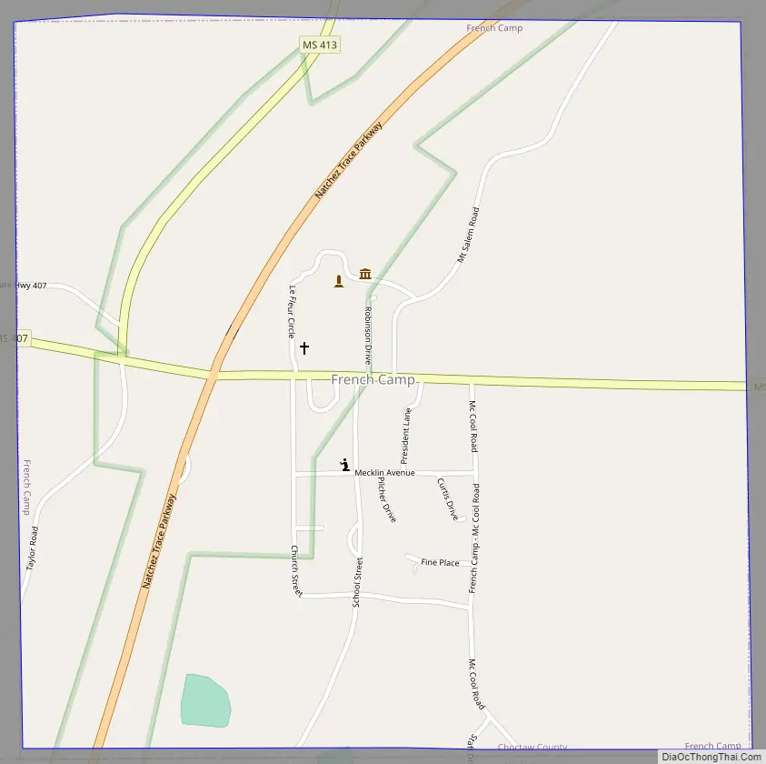
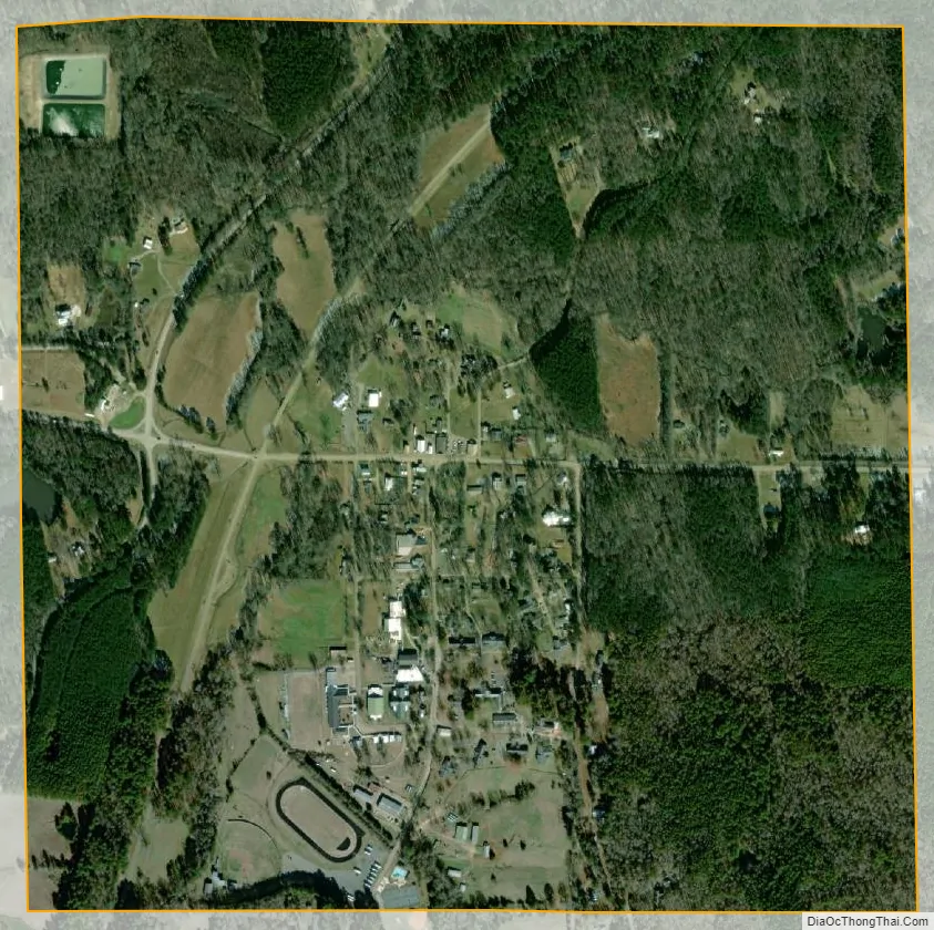
French Camp city Satellite Map
Geography
French Camp is located in western Choctaw County at 33°17′38″N 89°24′1″W / 33.29389°N 89.40028°W / 33.29389; -89.40028 (33.293936, -89.400248). It is bordered to the south by Attala County. The Natchez Trace Parkway passes through the town, crossing Mississippi Highway 413 just west of the center of town.
According to the United States Census Bureau, the town has a total area of 1.0 square mile (2.6 km), of which 0.0077 square miles (0.02 km), or 0.81%, is water.
See also
Map of Mississippi State and its subdivision:- Adams
- Alcorn
- Amite
- Attala
- Benton
- Bolivar
- Calhoun
- Carroll
- Chickasaw
- Choctaw
- Claiborne
- Clarke
- Clay
- Coahoma
- Copiah
- Covington
- Desoto
- Forrest
- Franklin
- George
- Greene
- Grenada
- Hancock
- Harrison
- Hinds
- Holmes
- Humphreys
- Issaquena
- Itawamba
- Jackson
- Jasper
- Jefferson
- Jefferson Davis
- Jones
- Kemper
- Lafayette
- Lamar
- Lauderdale
- Lawrence
- Leake
- Lee
- Leflore
- Lincoln
- Lowndes
- Madison
- Marion
- Marshall
- Monroe
- Montgomery
- Neshoba
- Newton
- Noxubee
- Oktibbeha
- Panola
- Pearl River
- Perry
- Pike
- Pontotoc
- Prentiss
- Quitman
- Rankin
- Scott
- Sharkey
- Simpson
- Smith
- Stone
- Sunflower
- Tallahatchie
- Tate
- Tippah
- Tishomingo
- Tunica
- Union
- Walthall
- Warren
- Washington
- Wayne
- Webster
- Wilkinson
- Winston
- Yalobusha
- Yazoo
- Alabama
- Alaska
- Arizona
- Arkansas
- California
- Colorado
- Connecticut
- Delaware
- District of Columbia
- Florida
- Georgia
- Hawaii
- Idaho
- Illinois
- Indiana
- Iowa
- Kansas
- Kentucky
- Louisiana
- Maine
- Maryland
- Massachusetts
- Michigan
- Minnesota
- Mississippi
- Missouri
- Montana
- Nebraska
- Nevada
- New Hampshire
- New Jersey
- New Mexico
- New York
- North Carolina
- North Dakota
- Ohio
- Oklahoma
- Oregon
- Pennsylvania
- Rhode Island
- South Carolina
- South Dakota
- Tennessee
- Texas
- Utah
- Vermont
- Virginia
- Washington
- West Virginia
- Wisconsin
- Wyoming