Greenwood is a city in and the county seat of Leflore County, Mississippi, United States, located at the eastern edge of the Mississippi Delta region, approximately 96 miles north of the state capital, Jackson, and 130 miles south of the riverport of Memphis, Tennessee. It was a center of cotton planter culture in the 19th century.
The population was 15,205 at the 2010 census. It is the principal city of the Greenwood Micropolitan Statistical Area. Greenwood developed at the confluence of the Tallahatchie and the Yalobusha rivers, which form the Yazoo River.
| Name: | Greenwood city |
|---|---|
| LSAD Code: | 25 |
| LSAD Description: | city (suffix) |
| State: | Mississippi |
| County: | Leflore County |
| Elevation: | 131 ft (40 m) |
| Total Area: | 12.69 sq mi (302.87 km²) |
| Land Area: | 12.34 sq mi (301.95 km²) |
| Water Area: | 0.36 sq mi (0.92 km²) |
| Total Population: | 14,490 |
| Population Density: | 1,174.71/sq mi (453.56/km²) |
| ZIP code: | 38930, 38935 |
| Area code: | 662 |
| FIPS code: | 2829340 |
| GNISfeature ID: | 0670714 |
| Website: | www.greenwoodms.com/city |
Online Interactive Map
Click on ![]() to view map in "full screen" mode.
to view map in "full screen" mode.
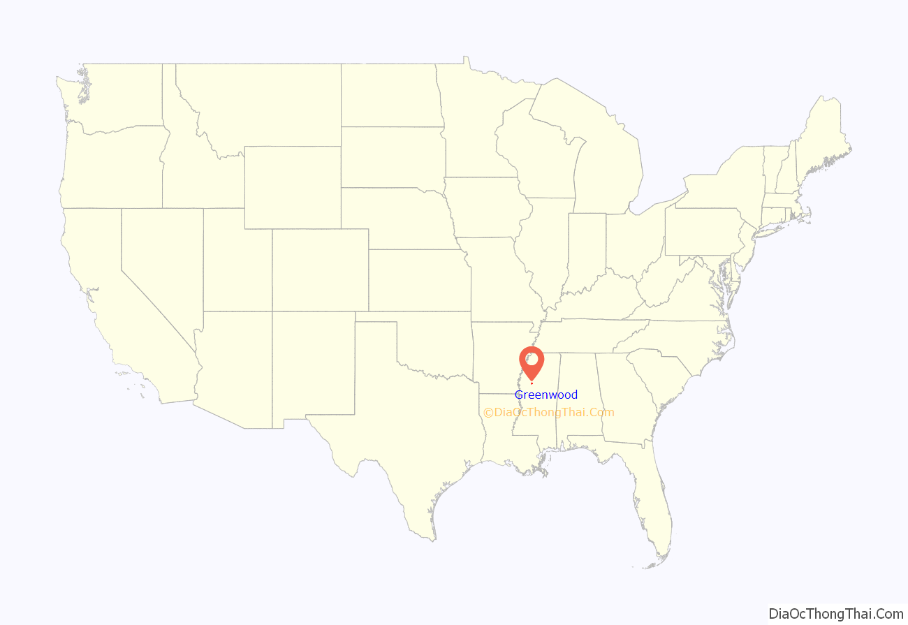
Greenwood location map. Where is Greenwood city?
History
Native Americans
The flood plain of the Mississippi River has long been an area rich in vegetation and wildlife, fed by the Mississippi and its numerous tributaries. Long before Europeans migrated to America, the Choctaw and Chickasaw Indian nations settled in the Delta’s bottomlands and throughout what is now central Mississippi. They were descended from indigenous peoples who had lived in the area for thousands of years. The Mississippian culture had built earthwork mounds in this area and throughout the Mississippi Valley, beginning about 950 CE. Their culture thrived for hundreds of years.
In the nineteenth century, the Five Civilized Tribes in the Southeast suffered increasing encroachment on their territory by European-American settlers from the United States. Under pressure from the United States government, in 1830 the Choctaw principal chief Greenwood LeFlore and other Choctaw leaders signed the Treaty of Dancing Rabbit Creek, ceding most of their remaining land to the United States in exchange for land in Indian Territory, what is now southeastern Oklahoma. The government opened the land for sale and settlement by European Americans. LeFlore came to regret his decision on land cession, saying in 1843 that he was “sorry to say that the benefits realized from [the treaty] by my people were by no means equal to what I had a right to expect, nor to what they were justly entitled.”
European settlement
The first Euro-American settlement on the banks of the Yazoo River was a trading post founded in 1834 by Colonel Dr. John J. Dilliard and known as Dilliard’s Landing. The settlement had competition from Greenwood Leflore’s rival landing called Point Leflore, located three miles up the Yazoo River. The rivalry ended when Captain James Dilliard donated parcels in exchange for a commitment from the townsmen to maintain an all-weather turnpike to the hill section to the east, along with a stagecoach road to the more established settlements to the northwest.
The settlement was incorporated as “Greenwood” in 1844, named after Chief Greenwood LeFlore. The success of the city, founded during a strong international demand for cotton, was based on its strategic location in the heart of the Delta: on the easternmost point of the alluvial plain, and astride the Tallahatchie and Yazoo rivers. The city served as a shipping point for cotton to major markets in New Orleans, Vicksburg, Mississippi, Memphis, Tennessee, and St. Louis, Missouri.
The construction of railroads through the area in the 1880s revitalized the city; two rail lines ran to downtown Greenwood close to the Yazoo River, and shortened transportation to markets. Greenwood again emerged as a prime shipping point for cotton. Downtown’s Front Street, bordering the Yazoo, was dominated by cotton factors and related businesses, earning that section the name “Cotton Row”.
20th century
The city continued to prosper well into the 1940s. Cotton production suffered in Mississippi during the infestation of the boll weevil in the early 20th century; however, for many years the bridge over the Yazoo displayed the sign “World’s Largest Inland Long Staple Cotton Market”.
Cotton cultivation and processing became largely mechanized in the first half of the 20th century, displacing thousands of sharecroppers and tenant farmers. Since the late 20th century, some Mississippi farmers have begun to replace cotton with corn and soybeans as commodity crops; with the textile manufacturing industry having shifted overseas, farmers can gain stronger prices for the newer crops, used mostly as animal feed.
Greenwood’s Grand Boulevard was once named one of America’s 10 most beautiful streets by the U.S. Chambers of Commerce and the Garden Clubs of America. Sally Humphreys Gwin, a charter member of the Greenwood Garden Club, planted the 1,000 oak trees that line Grand Boulevard. In 1950, Gwin received a citation from the National Congress of the Daughters of the American Revolution in recognition of her work in the conservation of trees.
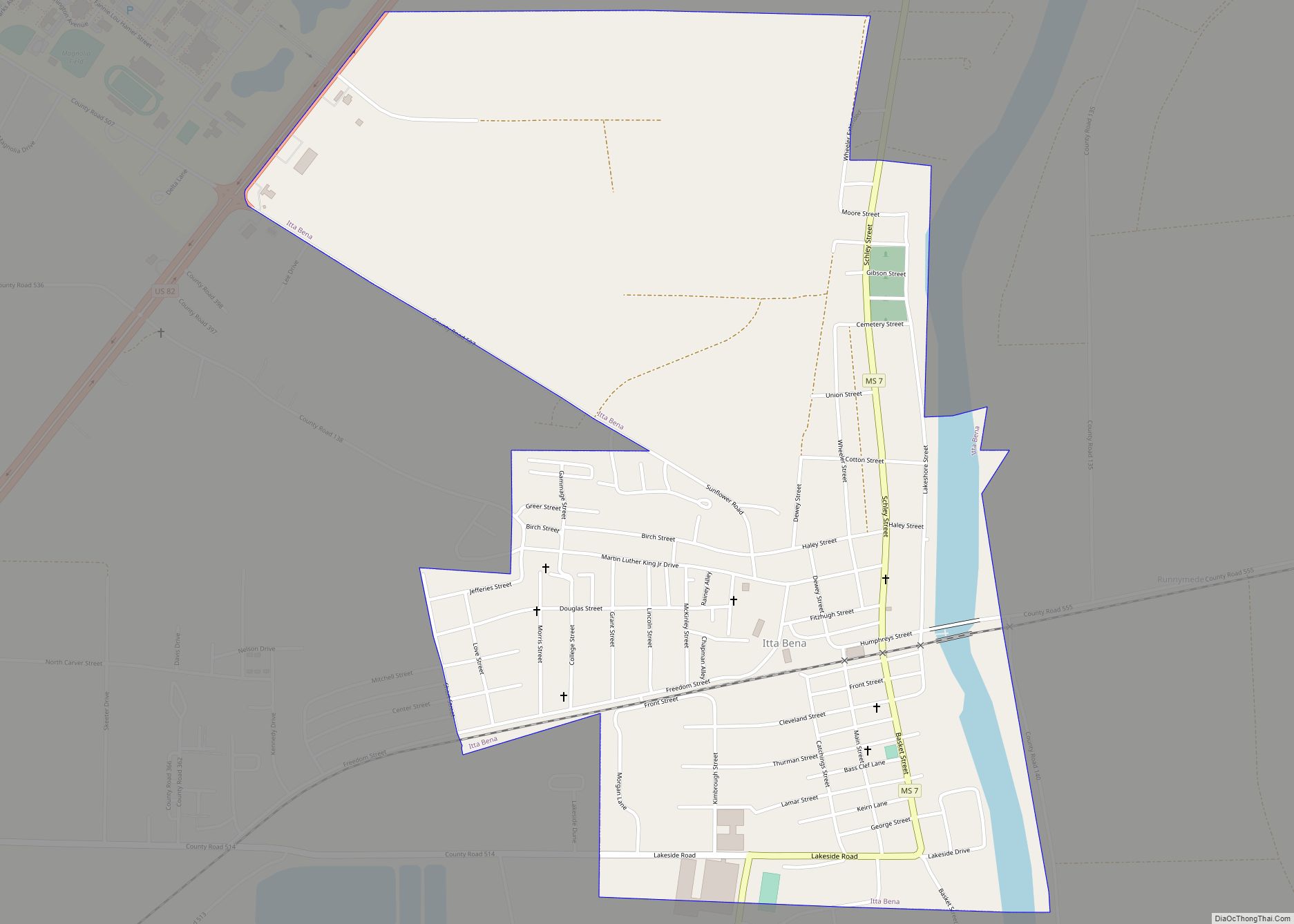
Greenwood Road Map
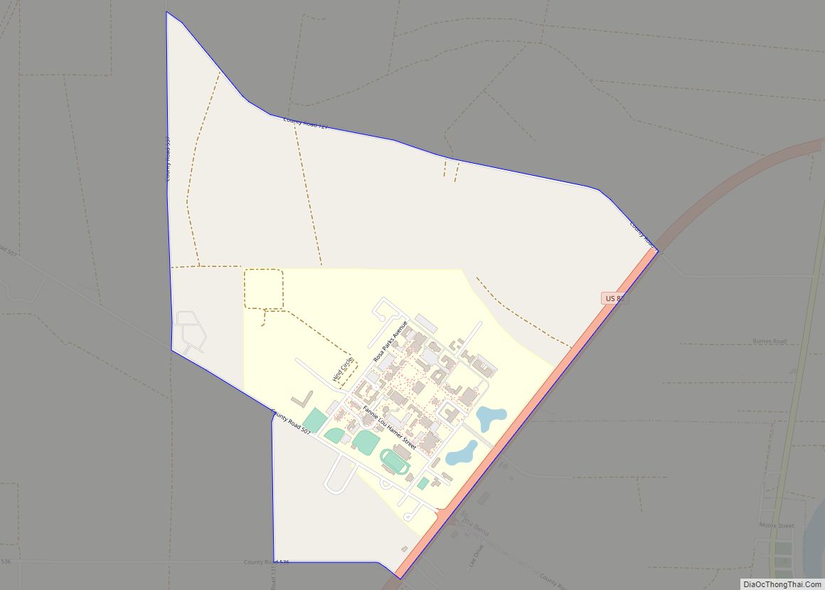
Greenwood city Satellite Map
Geography
According to the United States Census Bureau, the city has a total area of 9.5 square miles (25 km), of which 9.2 square miles (24 km) is land and 0.3 square miles (0.78 km) is water.
Climate
See also
Map of Mississippi State and its subdivision:- Adams
- Alcorn
- Amite
- Attala
- Benton
- Bolivar
- Calhoun
- Carroll
- Chickasaw
- Choctaw
- Claiborne
- Clarke
- Clay
- Coahoma
- Copiah
- Covington
- Desoto
- Forrest
- Franklin
- George
- Greene
- Grenada
- Hancock
- Harrison
- Hinds
- Holmes
- Humphreys
- Issaquena
- Itawamba
- Jackson
- Jasper
- Jefferson
- Jefferson Davis
- Jones
- Kemper
- Lafayette
- Lamar
- Lauderdale
- Lawrence
- Leake
- Lee
- Leflore
- Lincoln
- Lowndes
- Madison
- Marion
- Marshall
- Monroe
- Montgomery
- Neshoba
- Newton
- Noxubee
- Oktibbeha
- Panola
- Pearl River
- Perry
- Pike
- Pontotoc
- Prentiss
- Quitman
- Rankin
- Scott
- Sharkey
- Simpson
- Smith
- Stone
- Sunflower
- Tallahatchie
- Tate
- Tippah
- Tishomingo
- Tunica
- Union
- Walthall
- Warren
- Washington
- Wayne
- Webster
- Wilkinson
- Winston
- Yalobusha
- Yazoo
- Alabama
- Alaska
- Arizona
- Arkansas
- California
- Colorado
- Connecticut
- Delaware
- District of Columbia
- Florida
- Georgia
- Hawaii
- Idaho
- Illinois
- Indiana
- Iowa
- Kansas
- Kentucky
- Louisiana
- Maine
- Maryland
- Massachusetts
- Michigan
- Minnesota
- Mississippi
- Missouri
- Montana
- Nebraska
- Nevada
- New Hampshire
- New Jersey
- New Mexico
- New York
- North Carolina
- North Dakota
- Ohio
- Oklahoma
- Oregon
- Pennsylvania
- Rhode Island
- South Carolina
- South Dakota
- Tennessee
- Texas
- Utah
- Vermont
- Virginia
- Washington
- West Virginia
- Wisconsin
- Wyoming
