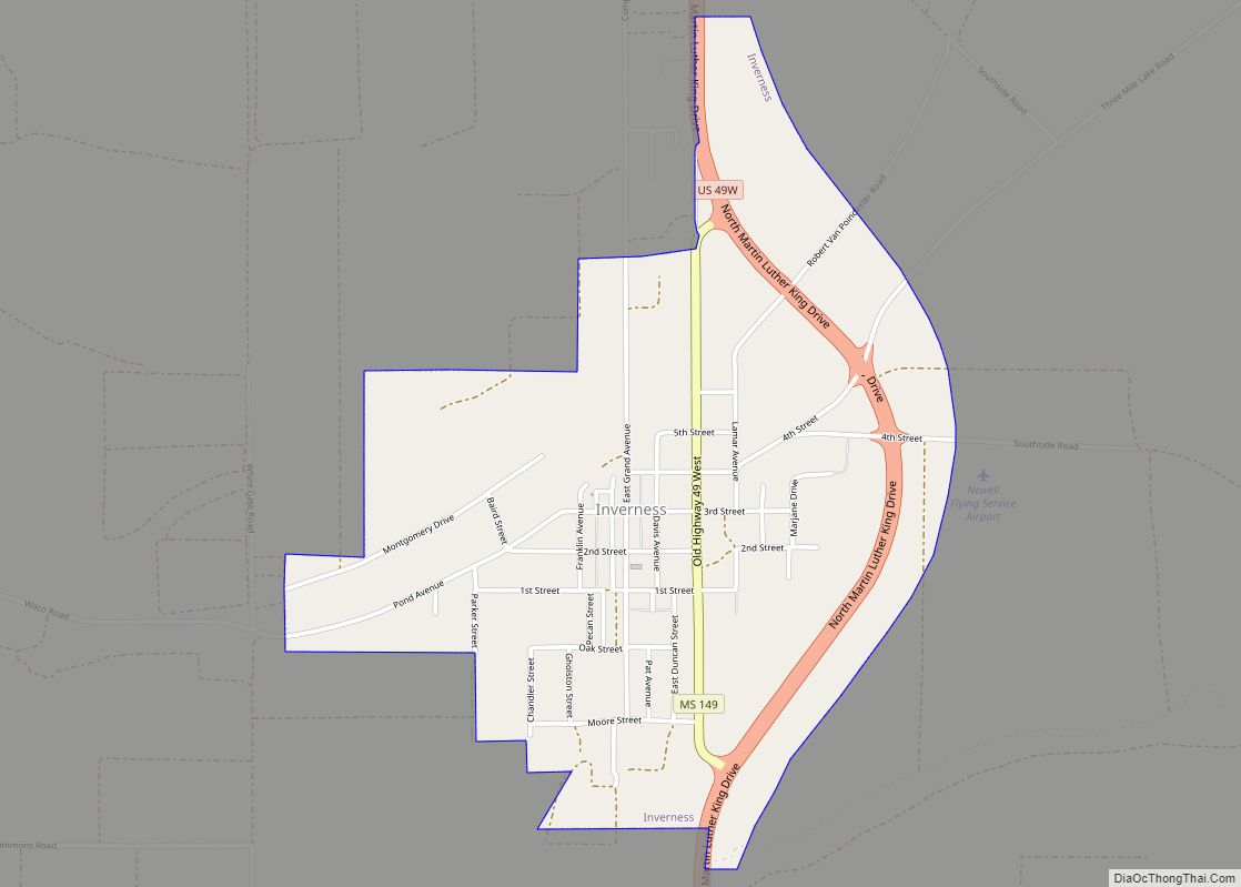
Inverness is a town in Sunflower County, Mississippi, United States. The population was 1,019 at the 2010 census. As the town had the largest cotton gin in the Delta, it served as a gathering place for farmers from the region when they brought their cotton for processing. The town was heavily damaged by a tornado in 1971.
| Name: | Inverness town |
|---|---|
| LSAD Code: | 43 |
| LSAD Description: | town (suffix) |
| State: | Mississippi |
| County: | Sunflower County |
| Elevation: | 121 ft (37 m) |
| Total Area: | 1.44 sq mi (3.73 km²) |
| Land Area: | 1.44 sq mi (3.73 km²) |
| Water Area: | 0.00 sq mi (0.00 km²) |
| Total Population: | 868 |
| Population Density: | 602.78/sq mi (232.70/km²) |
| ZIP code: | 38753 |
| Area code: | 662 |
| FIPS code: | 2835020 |
| GNISfeature ID: | 0671715 |
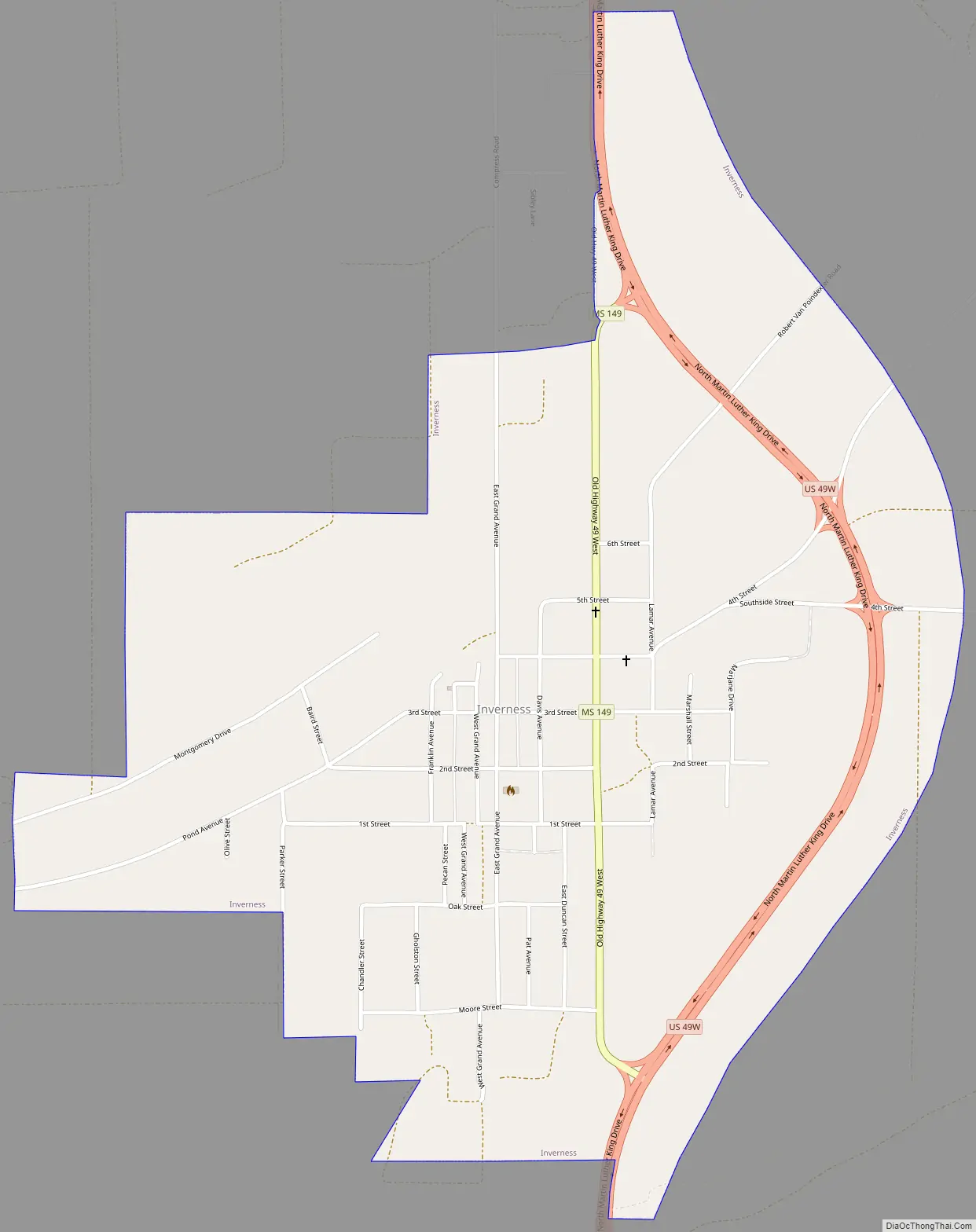
Online Interactive Map
Click on ![]() to view map in "full screen" mode.
to view map in "full screen" mode.
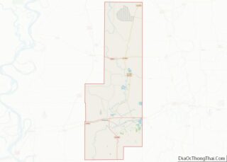
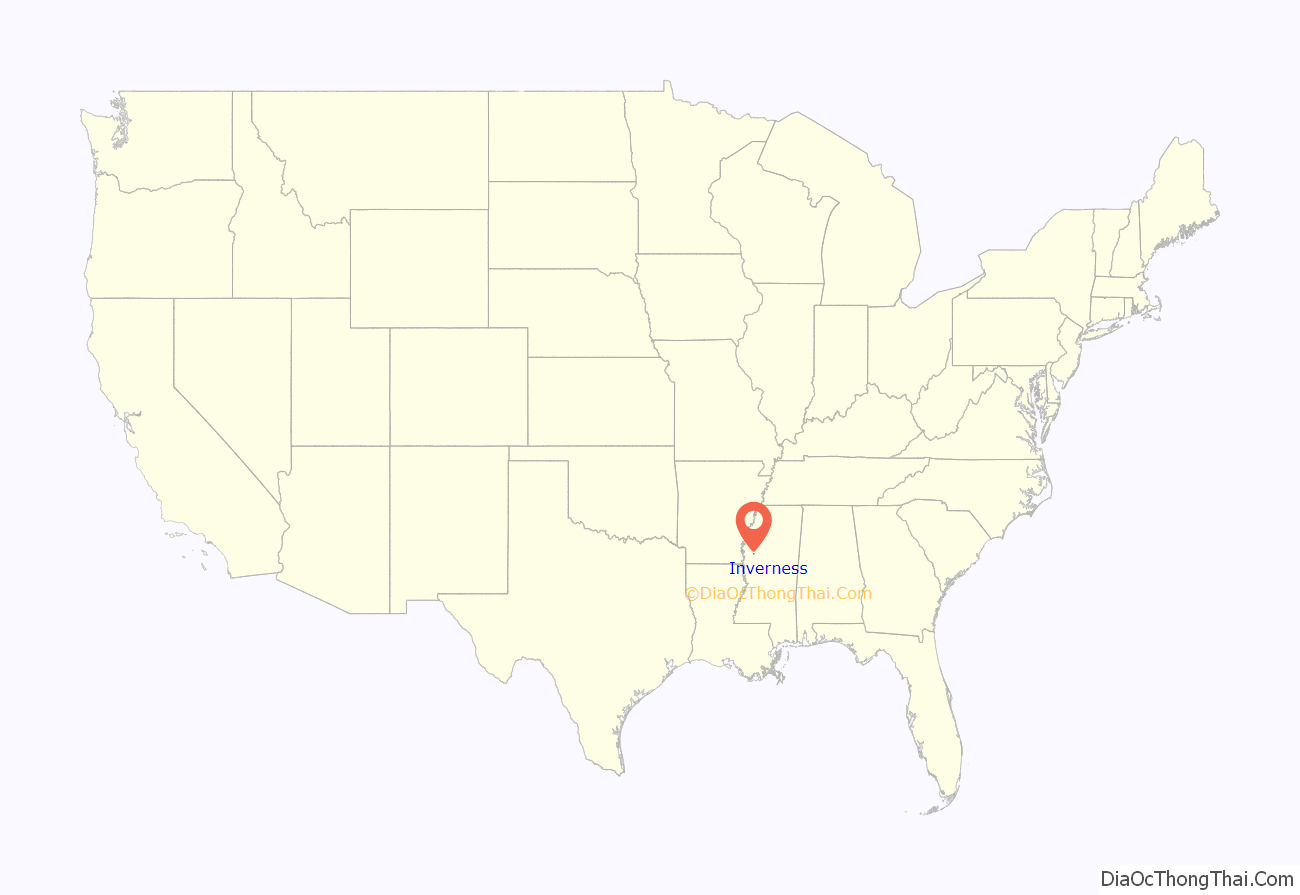
Inverness location map. Where is Inverness town?
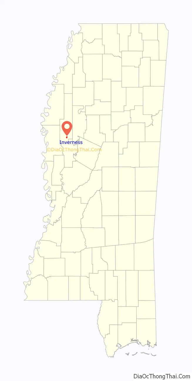
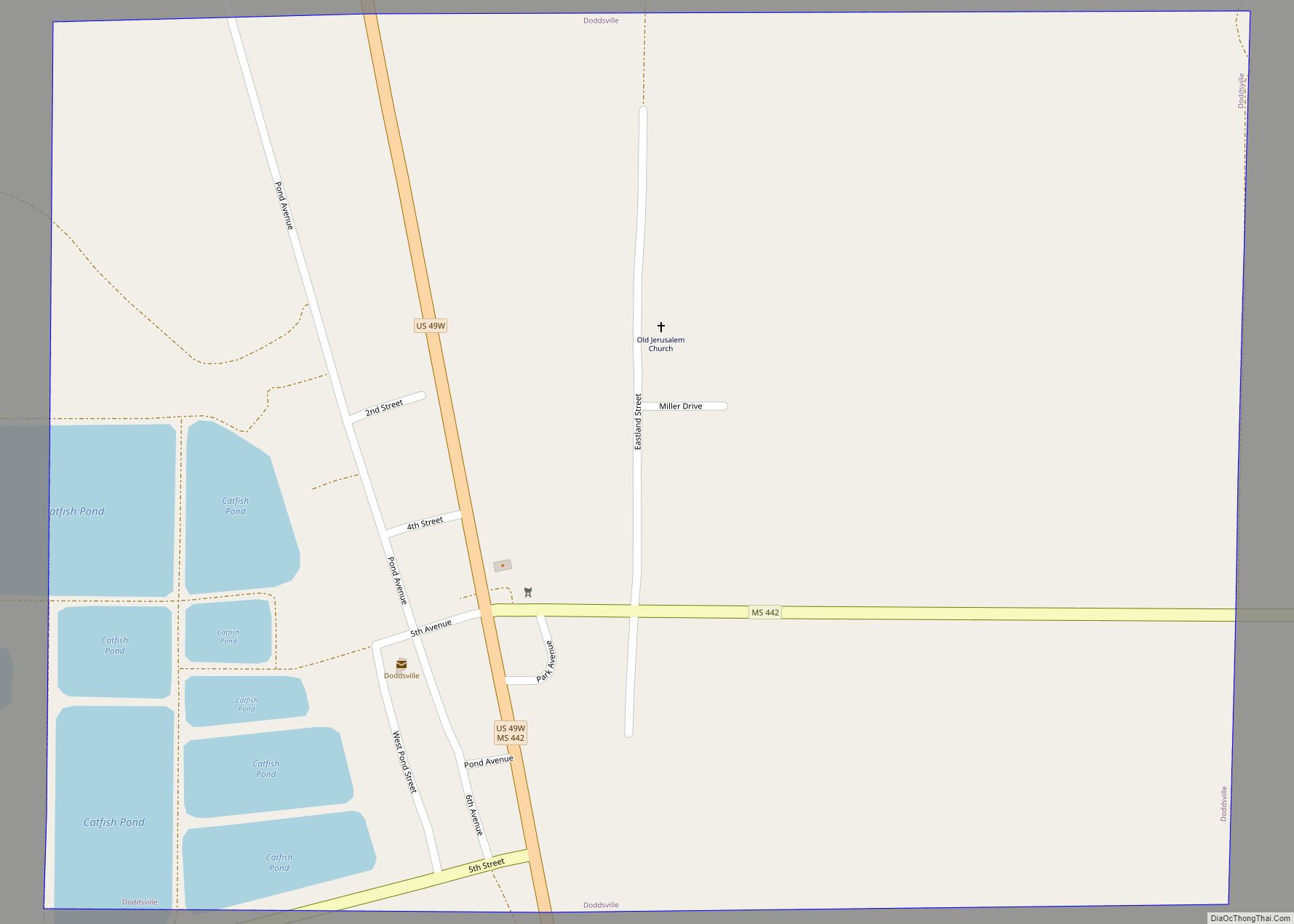
Inverness Road Map
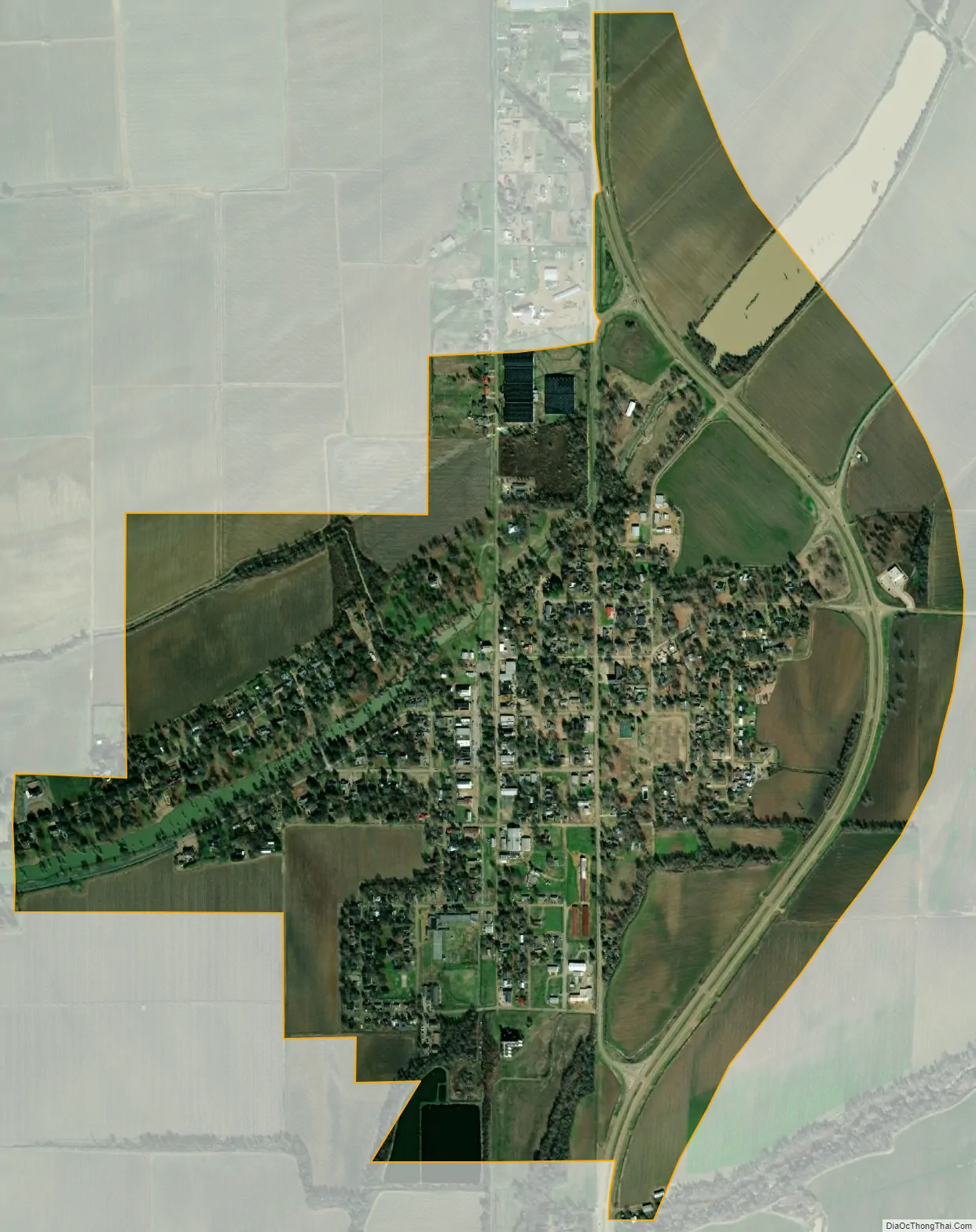
Inverness city Satellite Map
Geography
Inverness is located at 33°21′10″N 90°35′31″W / 33.35278°N 90.59194°W / 33.35278; -90.59194 (33.352845, -90.591992).
According to the United States Census Bureau, the town has a total area of 1.4 square miles (3.6 km), all land.
Inverness is about 90 miles (140 km) north of Jackson.
See also
Map of Mississippi State and its subdivision:- Adams
- Alcorn
- Amite
- Attala
- Benton
- Bolivar
- Calhoun
- Carroll
- Chickasaw
- Choctaw
- Claiborne
- Clarke
- Clay
- Coahoma
- Copiah
- Covington
- Desoto
- Forrest
- Franklin
- George
- Greene
- Grenada
- Hancock
- Harrison
- Hinds
- Holmes
- Humphreys
- Issaquena
- Itawamba
- Jackson
- Jasper
- Jefferson
- Jefferson Davis
- Jones
- Kemper
- Lafayette
- Lamar
- Lauderdale
- Lawrence
- Leake
- Lee
- Leflore
- Lincoln
- Lowndes
- Madison
- Marion
- Marshall
- Monroe
- Montgomery
- Neshoba
- Newton
- Noxubee
- Oktibbeha
- Panola
- Pearl River
- Perry
- Pike
- Pontotoc
- Prentiss
- Quitman
- Rankin
- Scott
- Sharkey
- Simpson
- Smith
- Stone
- Sunflower
- Tallahatchie
- Tate
- Tippah
- Tishomingo
- Tunica
- Union
- Walthall
- Warren
- Washington
- Wayne
- Webster
- Wilkinson
- Winston
- Yalobusha
- Yazoo
- Alabama
- Alaska
- Arizona
- Arkansas
- California
- Colorado
- Connecticut
- Delaware
- District of Columbia
- Florida
- Georgia
- Hawaii
- Idaho
- Illinois
- Indiana
- Iowa
- Kansas
- Kentucky
- Louisiana
- Maine
- Maryland
- Massachusetts
- Michigan
- Minnesota
- Mississippi
- Missouri
- Montana
- Nebraska
- Nevada
- New Hampshire
- New Jersey
- New Mexico
- New York
- North Carolina
- North Dakota
- Ohio
- Oklahoma
- Oregon
- Pennsylvania
- Rhode Island
- South Carolina
- South Dakota
- Tennessee
- Texas
- Utah
- Vermont
- Virginia
- Washington
- West Virginia
- Wisconsin
- Wyoming