Jonestown is a town in Coahoma County, Mississippi, United States. Per the 2020 census, the population was 962.
| Name: | Jonestown town |
|---|---|
| LSAD Code: | 43 |
| LSAD Description: | town (suffix) |
| State: | Mississippi |
| County: | Coahoma County |
| Elevation: | 174 ft (53 m) |
| Total Area: | 0.39 sq mi (1.00 km²) |
| Land Area: | 0.39 sq mi (1.00 km²) |
| Water Area: | 0.00 sq mi (0.00 km²) |
| Total Population: | 962 |
| Population Density: | 2,485.79/sq mi (958.79/km²) |
| ZIP code: | 38639 |
| Area code: | 662 |
| FIPS code: | 2836800 |
| GNISfeature ID: | 0672011 |
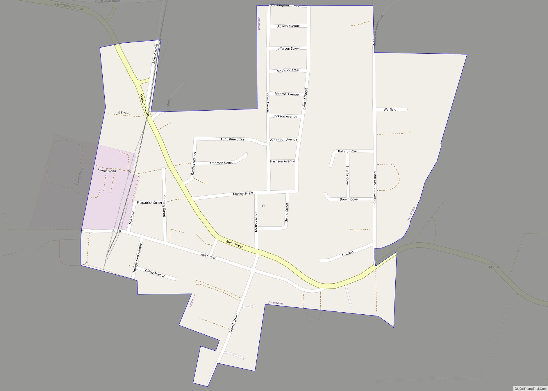
Online Interactive Map
Click on ![]() to view map in "full screen" mode.
to view map in "full screen" mode.
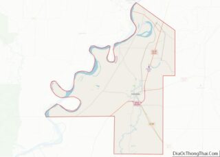
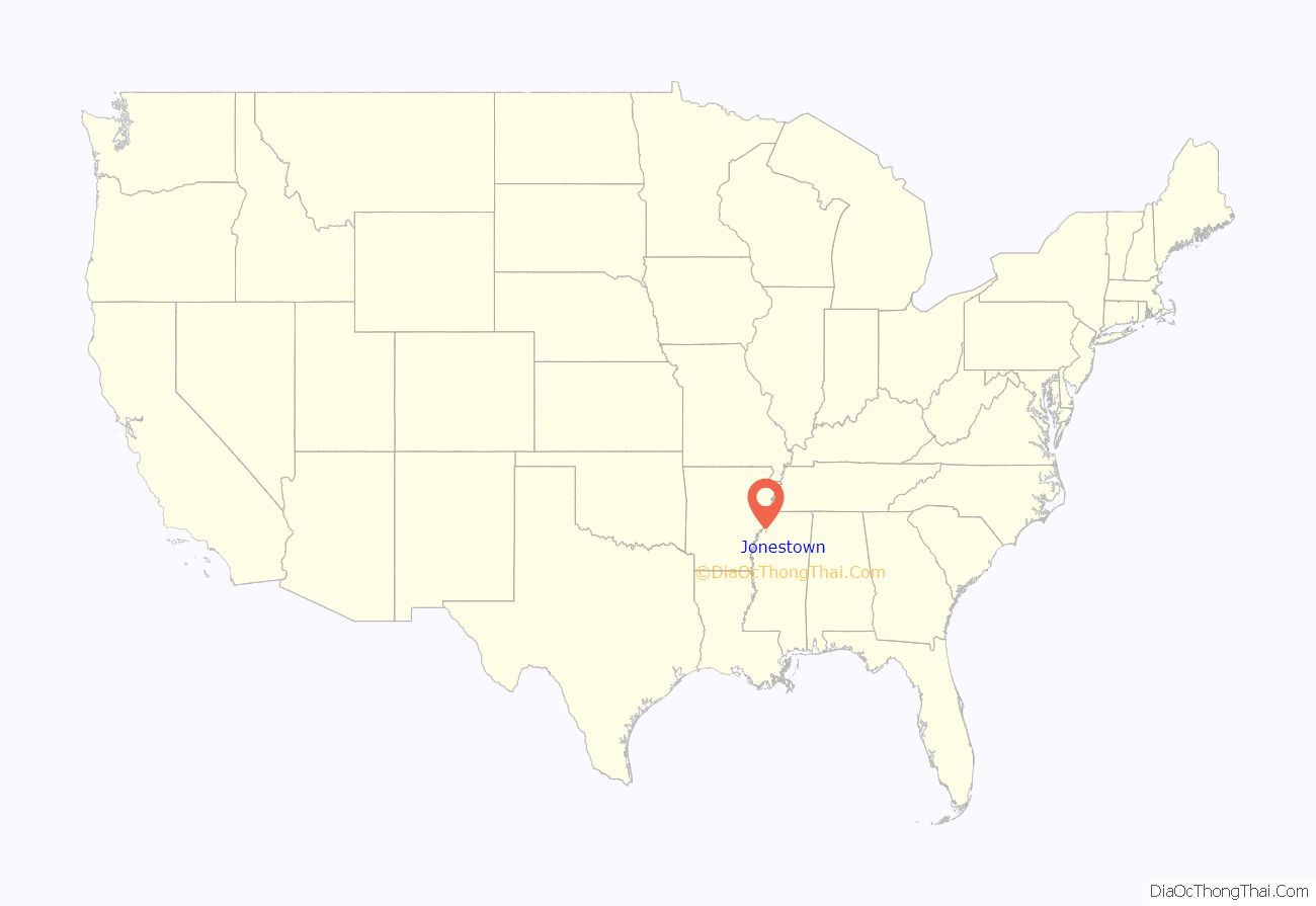
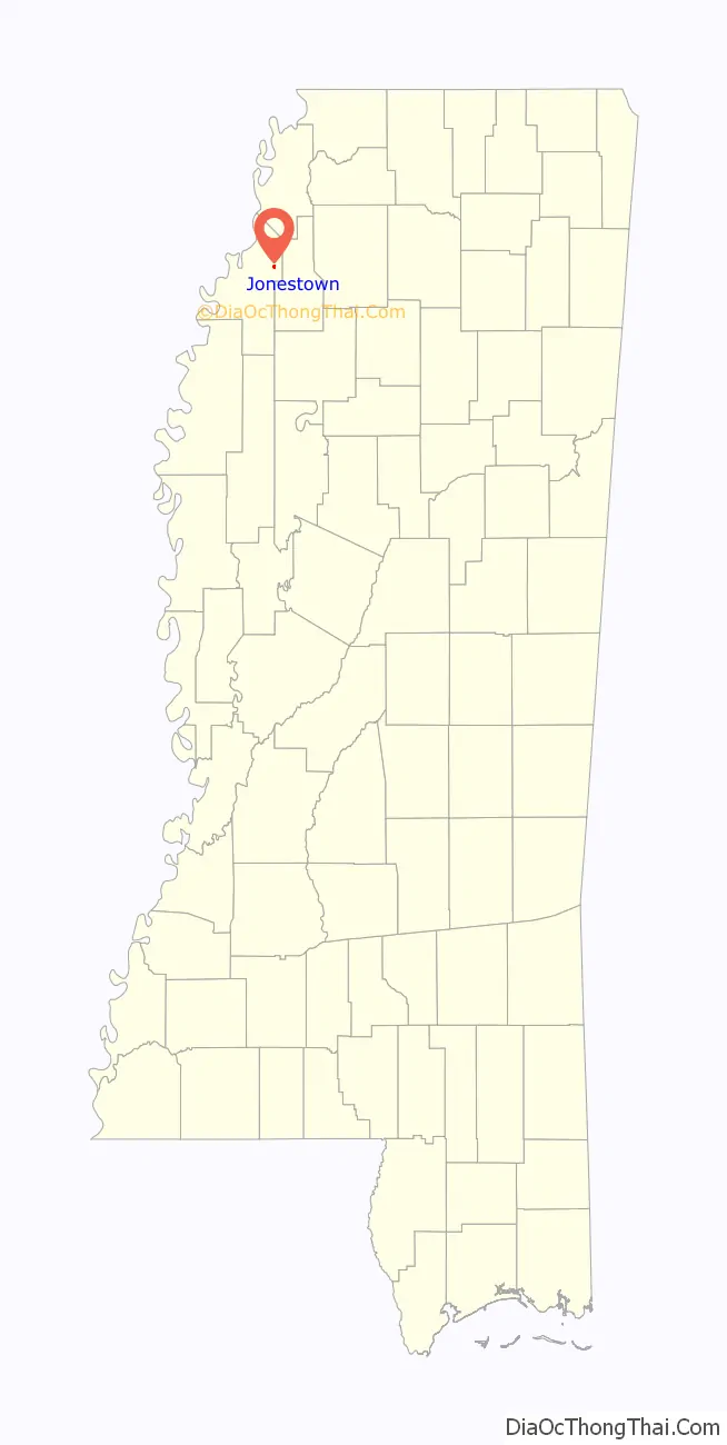
Jonestown location map. Where is Jonestown town?
History
The Matagorda Plantation, located north of Jonestown, was established by Colonel D.M. Russell and his wife before the Civil War. Matagorda was named after a special variety of long-staple cotton raised there.
Jonestown was a stop on the Mobile & North Western Railroad, completed from Jonestown to Lula in 1879. Jonestown was incorporated in 1880.
In 1965, John Wing was elected mayor of Jonestown, the first Chinese-American mayor in Mississippi.
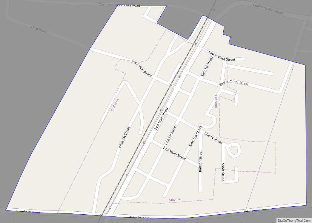
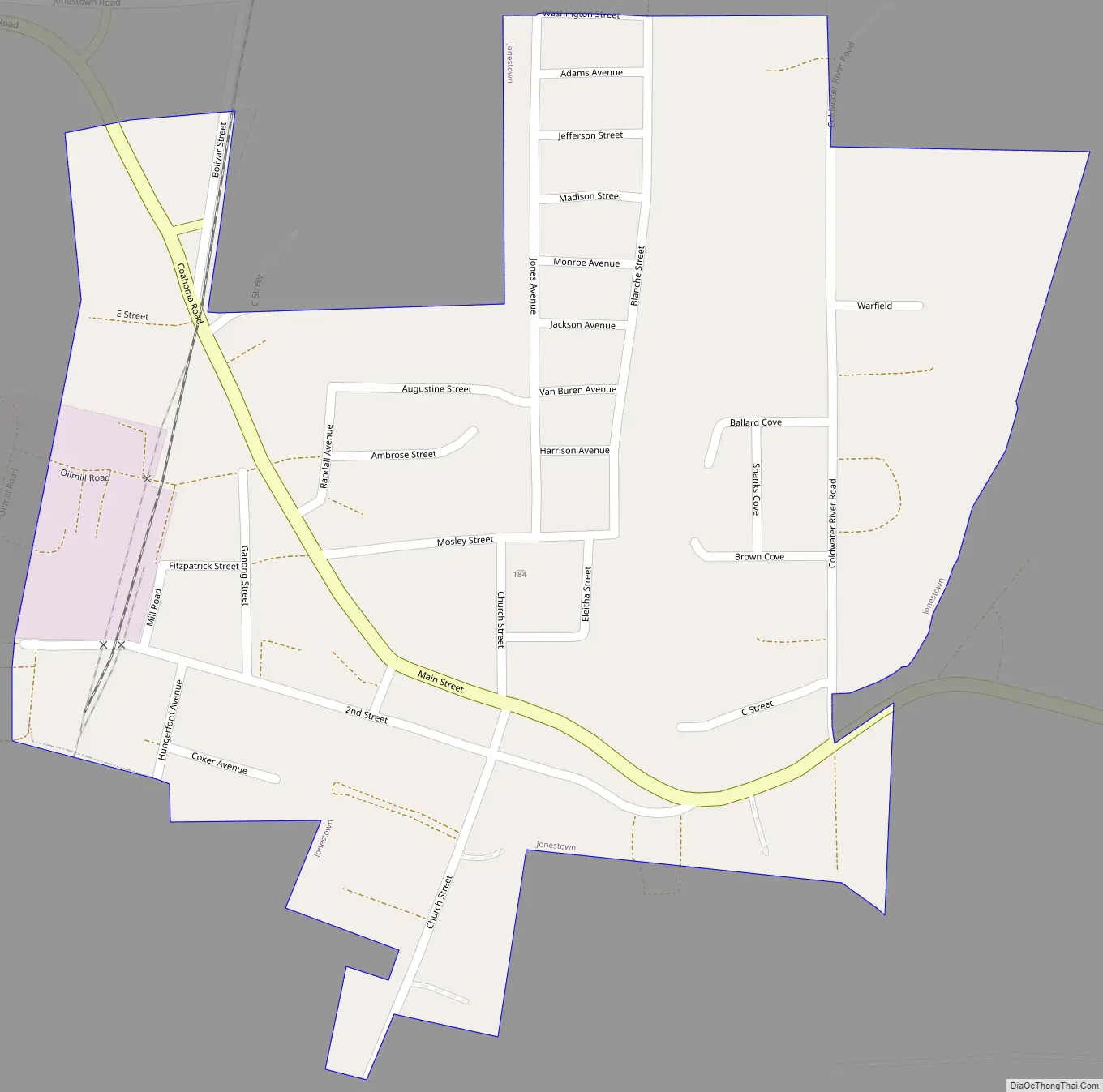
Jonestown Road Map
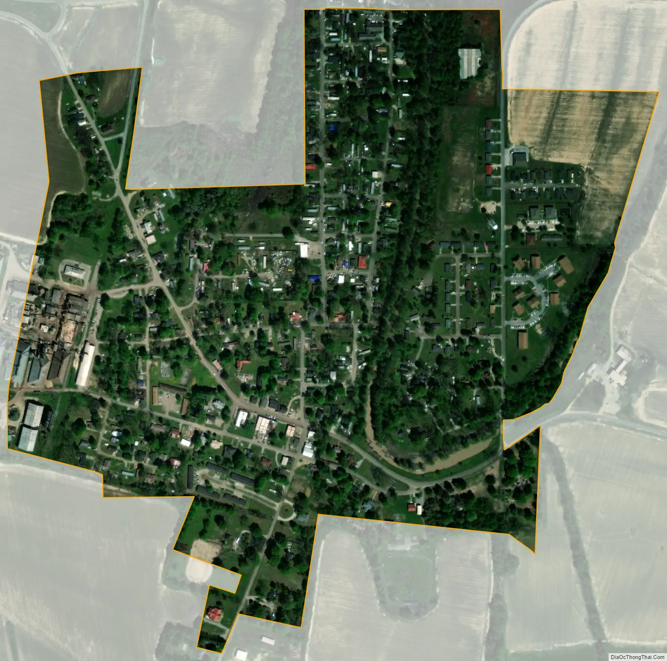
Jonestown city Satellite Map
Geography
Jonestown is located in northeastern Coahoma County. It is 2.5 miles (4.0 km) east of U.S. Routes 49 and 61 and 13 miles (21 km) northeast of Clarksdale, the county seat.
According to the United States Census Bureau, the town has a total area of 0.39 square miles (1.0 km), all land.
See also
Map of Mississippi State and its subdivision:- Adams
- Alcorn
- Amite
- Attala
- Benton
- Bolivar
- Calhoun
- Carroll
- Chickasaw
- Choctaw
- Claiborne
- Clarke
- Clay
- Coahoma
- Copiah
- Covington
- Desoto
- Forrest
- Franklin
- George
- Greene
- Grenada
- Hancock
- Harrison
- Hinds
- Holmes
- Humphreys
- Issaquena
- Itawamba
- Jackson
- Jasper
- Jefferson
- Jefferson Davis
- Jones
- Kemper
- Lafayette
- Lamar
- Lauderdale
- Lawrence
- Leake
- Lee
- Leflore
- Lincoln
- Lowndes
- Madison
- Marion
- Marshall
- Monroe
- Montgomery
- Neshoba
- Newton
- Noxubee
- Oktibbeha
- Panola
- Pearl River
- Perry
- Pike
- Pontotoc
- Prentiss
- Quitman
- Rankin
- Scott
- Sharkey
- Simpson
- Smith
- Stone
- Sunflower
- Tallahatchie
- Tate
- Tippah
- Tishomingo
- Tunica
- Union
- Walthall
- Warren
- Washington
- Wayne
- Webster
- Wilkinson
- Winston
- Yalobusha
- Yazoo
- Alabama
- Alaska
- Arizona
- Arkansas
- California
- Colorado
- Connecticut
- Delaware
- District of Columbia
- Florida
- Georgia
- Hawaii
- Idaho
- Illinois
- Indiana
- Iowa
- Kansas
- Kentucky
- Louisiana
- Maine
- Maryland
- Massachusetts
- Michigan
- Minnesota
- Mississippi
- Missouri
- Montana
- Nebraska
- Nevada
- New Hampshire
- New Jersey
- New Mexico
- New York
- North Carolina
- North Dakota
- Ohio
- Oklahoma
- Oregon
- Pennsylvania
- Rhode Island
- South Carolina
- South Dakota
- Tennessee
- Texas
- Utah
- Vermont
- Virginia
- Washington
- West Virginia
- Wisconsin
- Wyoming