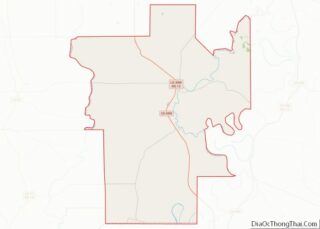
Louise is a town in Humphreys County, Mississippi. The population was 199 at the 2010 census, down from 315 at the 2000 census.
| Name: | Louise town |
|---|---|
| LSAD Code: | 43 |
| LSAD Description: | town (suffix) |
| State: | Mississippi |
| County: | Humphreys County |
| Elevation: | 108 ft (33 m) |
| Total Area: | 0.18 sq mi (0.46 km²) |
| Land Area: | 0.18 sq mi (0.46 km²) |
| Water Area: | 0.00 sq mi (0.00 km²) |
| Total Population: | 178 |
| Population Density: | 1,005.65/sq mi (389.24/km²) |
| ZIP code: | 39097 |
| Area code: | 662 |
| FIPS code: | 2842240 |
| GNISfeature ID: | 0672897 |
Online Interactive Map
Click on ![]() to view map in "full screen" mode.
to view map in "full screen" mode.
Louise location map. Where is Louise town?
History
On July 15, 1919, Black veteran Robert Truett was lynched as part of the Red Summer of 1919.
William “Willie” Sklar served as alderman and later mayor for three terms. Sklar was a Jewish immigrant who came to Louise in search of the American dream.
Hoover Lee, a long-time citizen, businessman, and government official, resides here. His “Hoover Sauce” marinade/BBQ sauce is nationally renowned. On September 19, 2007, Chris Talbott of the Associated Press featured him in a nationwide article. He has been noted in Delta, Southern Living, and Y’all magazines, and recently mentioned in the publication “Wild Abundance”, a cookbook anthology, compiled by hunters from numerous hunting clubs from the South.
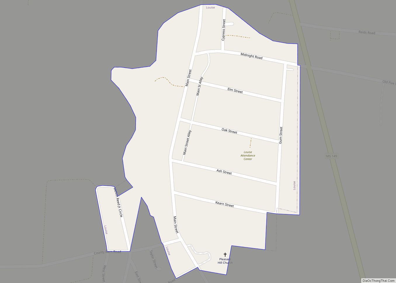
Louise Road Map
Louise city Satellite Map
Geography
Louise is located in southern Humphreys County along Silver Creek in the Mississippi Delta region. Mississippi Highway 149 passes just east of the town, leading north 10 miles (16 km) to U.S. Route 49W at Silver City and south 16 miles (26 km) via Mississippi Highway 16 to Yazoo City.
According to the United States Census Bureau, the town of Louise has a total area of 0.18 square miles (0.46 km), all land.
See also
Map of Mississippi State and its subdivision:- Adams
- Alcorn
- Amite
- Attala
- Benton
- Bolivar
- Calhoun
- Carroll
- Chickasaw
- Choctaw
- Claiborne
- Clarke
- Clay
- Coahoma
- Copiah
- Covington
- Desoto
- Forrest
- Franklin
- George
- Greene
- Grenada
- Hancock
- Harrison
- Hinds
- Holmes
- Humphreys
- Issaquena
- Itawamba
- Jackson
- Jasper
- Jefferson
- Jefferson Davis
- Jones
- Kemper
- Lafayette
- Lamar
- Lauderdale
- Lawrence
- Leake
- Lee
- Leflore
- Lincoln
- Lowndes
- Madison
- Marion
- Marshall
- Monroe
- Montgomery
- Neshoba
- Newton
- Noxubee
- Oktibbeha
- Panola
- Pearl River
- Perry
- Pike
- Pontotoc
- Prentiss
- Quitman
- Rankin
- Scott
- Sharkey
- Simpson
- Smith
- Stone
- Sunflower
- Tallahatchie
- Tate
- Tippah
- Tishomingo
- Tunica
- Union
- Walthall
- Warren
- Washington
- Wayne
- Webster
- Wilkinson
- Winston
- Yalobusha
- Yazoo
- Alabama
- Alaska
- Arizona
- Arkansas
- California
- Colorado
- Connecticut
- Delaware
- District of Columbia
- Florida
- Georgia
- Hawaii
- Idaho
- Illinois
- Indiana
- Iowa
- Kansas
- Kentucky
- Louisiana
- Maine
- Maryland
- Massachusetts
- Michigan
- Minnesota
- Mississippi
- Missouri
- Montana
- Nebraska
- Nevada
- New Hampshire
- New Jersey
- New Mexico
- New York
- North Carolina
- North Dakota
- Ohio
- Oklahoma
- Oregon
- Pennsylvania
- Rhode Island
- South Carolina
- South Dakota
- Tennessee
- Texas
- Utah
- Vermont
- Virginia
- Washington
- West Virginia
- Wisconsin
- Wyoming


