Silver City is a town in Humphreys County, Mississippi, United States. The population was 217 at the 2021 census, a massive decline from the 2000 census.
| Name: | Silver City town |
|---|---|
| LSAD Code: | 43 |
| LSAD Description: | town (suffix) |
| State: | Mississippi |
| County: | Humphreys County |
| Elevation: | 108 ft (33 m) |
| Total Area: | 0.63 sq mi (1.62 km²) |
| Land Area: | 0.60 sq mi (1.56 km²) |
| Water Area: | 0.02 sq mi (0.06 km²) |
| Total Population: | 217 |
| Population Density: | 369.21/sq mi (142.59/km²) |
| ZIP code: | 39166 |
| Area code: | 662 |
| FIPS code: | 2867920 |
Online Interactive Map
Click on ![]() to view map in "full screen" mode.
to view map in "full screen" mode.
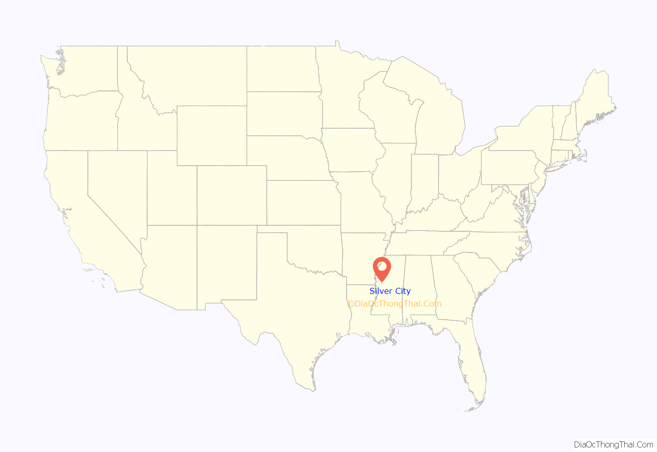
Silver City location map. Where is Silver City town?
History
The town was first named “Palmetto Home”, after a nearby plantation.
2023 tornado
On March 24, 2023, a large and extremely destructive wedge tornado directly hit Silver City. Several buildings were destroyed, and numerous people were injured. The same destructive tornado previously hit the towns of Rolling Fork and Midnight. The tornado was rated high-end EF4.
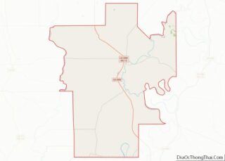
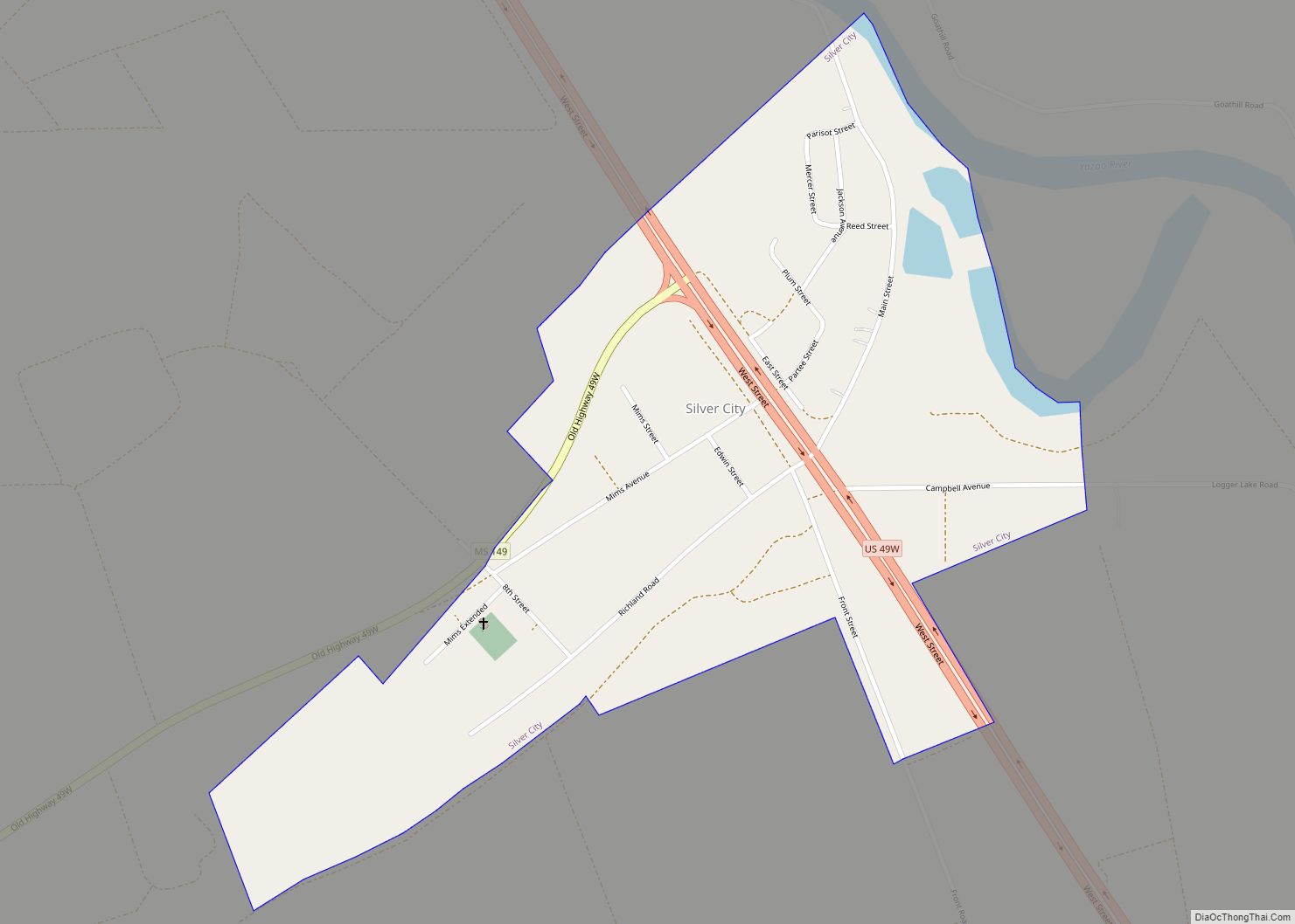
Silver City Road Map
Silver City city Satellite Map
Geography
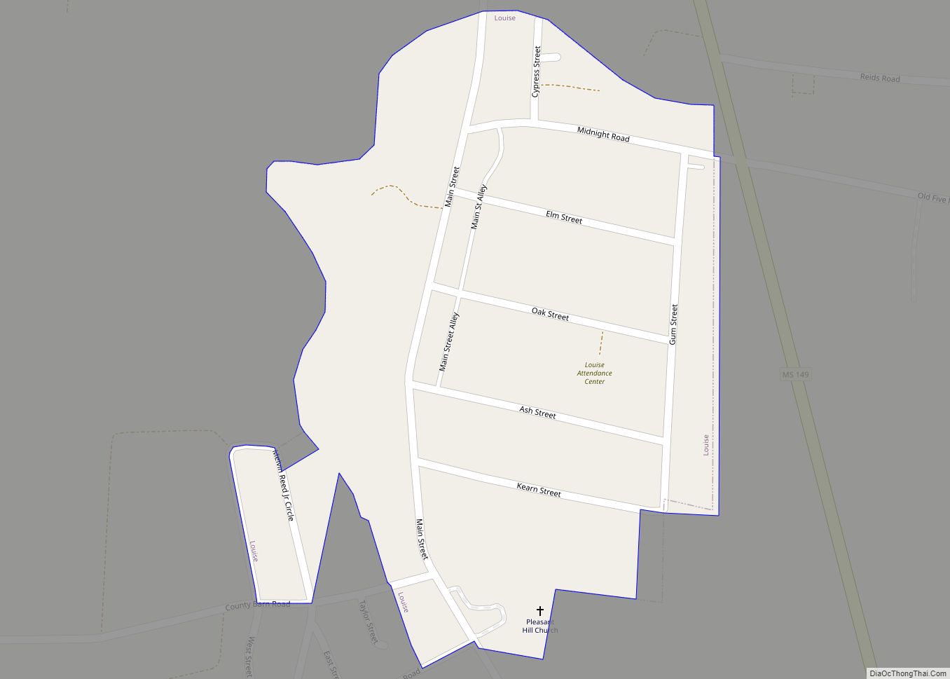
Silver City is located in central Humphreys County at 33°5′43″N 90°29′45″W / 33.09528°N 90.49583°W / 33.09528; -90.49583 (33.095335, -90.495814), in the Mississippi Delta region. It is bordered to the east by the Yazoo River. U.S. Route 49W passes through the town, leading north 7 miles (11 km) to Belzoni, the county seat, and south 20 miles (32 km) to Yazoo City. Mississippi Highway 149, an old alignment of US 49W, leads southwest from Silver City 10 miles (16 km) to Louise.
According to the United States Census Bureau, Silver City has a total area of 0.62 square miles (1.6 km), of which 0.02 square miles (0.06 km), or 3.56%, are water.
See also
Map of Mississippi State and its subdivision:- Adams
- Alcorn
- Amite
- Attala
- Benton
- Bolivar
- Calhoun
- Carroll
- Chickasaw
- Choctaw
- Claiborne
- Clarke
- Clay
- Coahoma
- Copiah
- Covington
- Desoto
- Forrest
- Franklin
- George
- Greene
- Grenada
- Hancock
- Harrison
- Hinds
- Holmes
- Humphreys
- Issaquena
- Itawamba
- Jackson
- Jasper
- Jefferson
- Jefferson Davis
- Jones
- Kemper
- Lafayette
- Lamar
- Lauderdale
- Lawrence
- Leake
- Lee
- Leflore
- Lincoln
- Lowndes
- Madison
- Marion
- Marshall
- Monroe
- Montgomery
- Neshoba
- Newton
- Noxubee
- Oktibbeha
- Panola
- Pearl River
- Perry
- Pike
- Pontotoc
- Prentiss
- Quitman
- Rankin
- Scott
- Sharkey
- Simpson
- Smith
- Stone
- Sunflower
- Tallahatchie
- Tate
- Tippah
- Tishomingo
- Tunica
- Union
- Walthall
- Warren
- Washington
- Wayne
- Webster
- Wilkinson
- Winston
- Yalobusha
- Yazoo
- Alabama
- Alaska
- Arizona
- Arkansas
- California
- Colorado
- Connecticut
- Delaware
- District of Columbia
- Florida
- Georgia
- Hawaii
- Idaho
- Illinois
- Indiana
- Iowa
- Kansas
- Kentucky
- Louisiana
- Maine
- Maryland
- Massachusetts
- Michigan
- Minnesota
- Mississippi
- Missouri
- Montana
- Nebraska
- Nevada
- New Hampshire
- New Jersey
- New Mexico
- New York
- North Carolina
- North Dakota
- Ohio
- Oklahoma
- Oregon
- Pennsylvania
- Rhode Island
- South Carolina
- South Dakota
- Tennessee
- Texas
- Utah
- Vermont
- Virginia
- Washington
- West Virginia
- Wisconsin
- Wyoming
