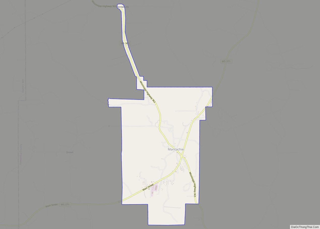
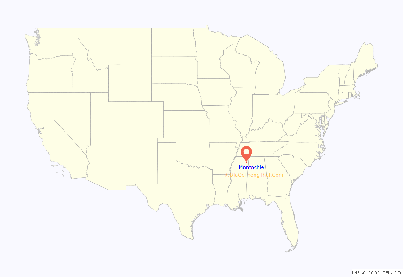
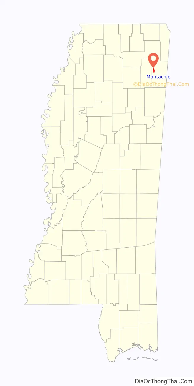
Mantachie is a town in Itawamba County, Mississippi, United States. The population was 1,121 in the 2020 census. It is located 14 miles (23 km) northeast of Tupelo at the intersection of Mississippi Highways 363 and 371 and 5 miles (8 km) north of Interstate 22.
The town began as a crossroads store owned and operated by Woods Pearce. Near Mantachie on the old Jacinto Road was the largest Chickasaw village in this section of the state. Mantachie was named for one of the Chickasaw chiefs, Man-ta-chee. Most of the Chickasaws left the village after the Treaty of Pontotoc Creek was signed in 1832.
| Name: | Mantachie town |
|---|---|
| LSAD Code: | 43 |
| LSAD Description: | town (suffix) |
| State: | Mississippi |
| County: | Itawamba County |
| Elevation: | 344 ft (105 m) |
| Total Area: | 4.32 sq mi (11.18 km²) |
| Land Area: | 4.30 sq mi (11.15 km²) |
| Water Area: | 0.01 sq mi (0.03 km²) |
| Total Population: | 1,121 |
| Population Density: | 260.46/sq mi (100.57/km²) |
| ZIP code: | 38855 |
| Area code: | 662 |
| FIPS code: | 2844920 |
| GNISfeature ID: | 0673115 |
| Website: | mantachie.itawambams.com |
Online Interactive Map
Click on ![]() to view map in "full screen" mode.
to view map in "full screen" mode.
Mantachie location map. Where is Mantachie town?
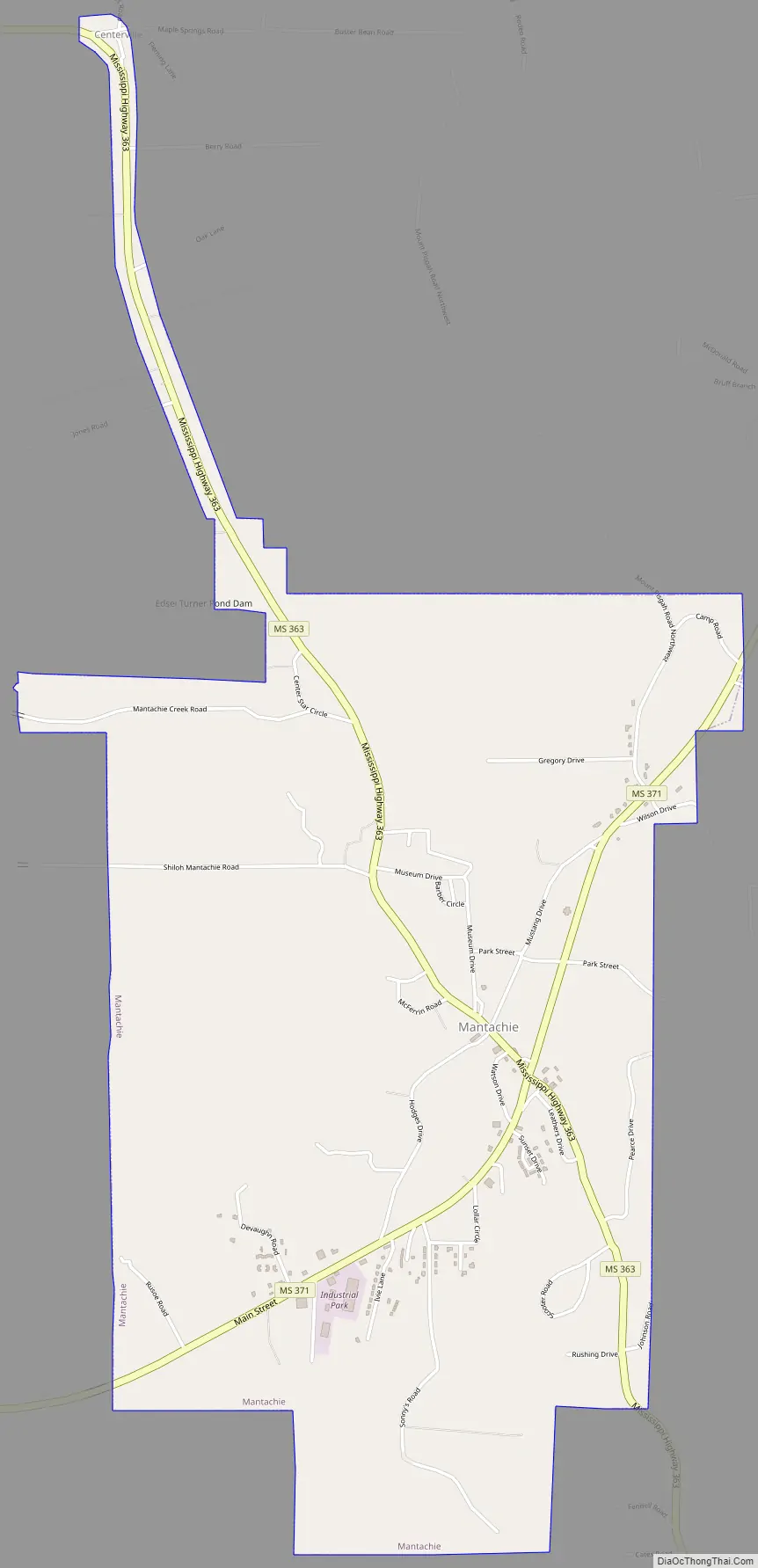
Mantachie Road Map
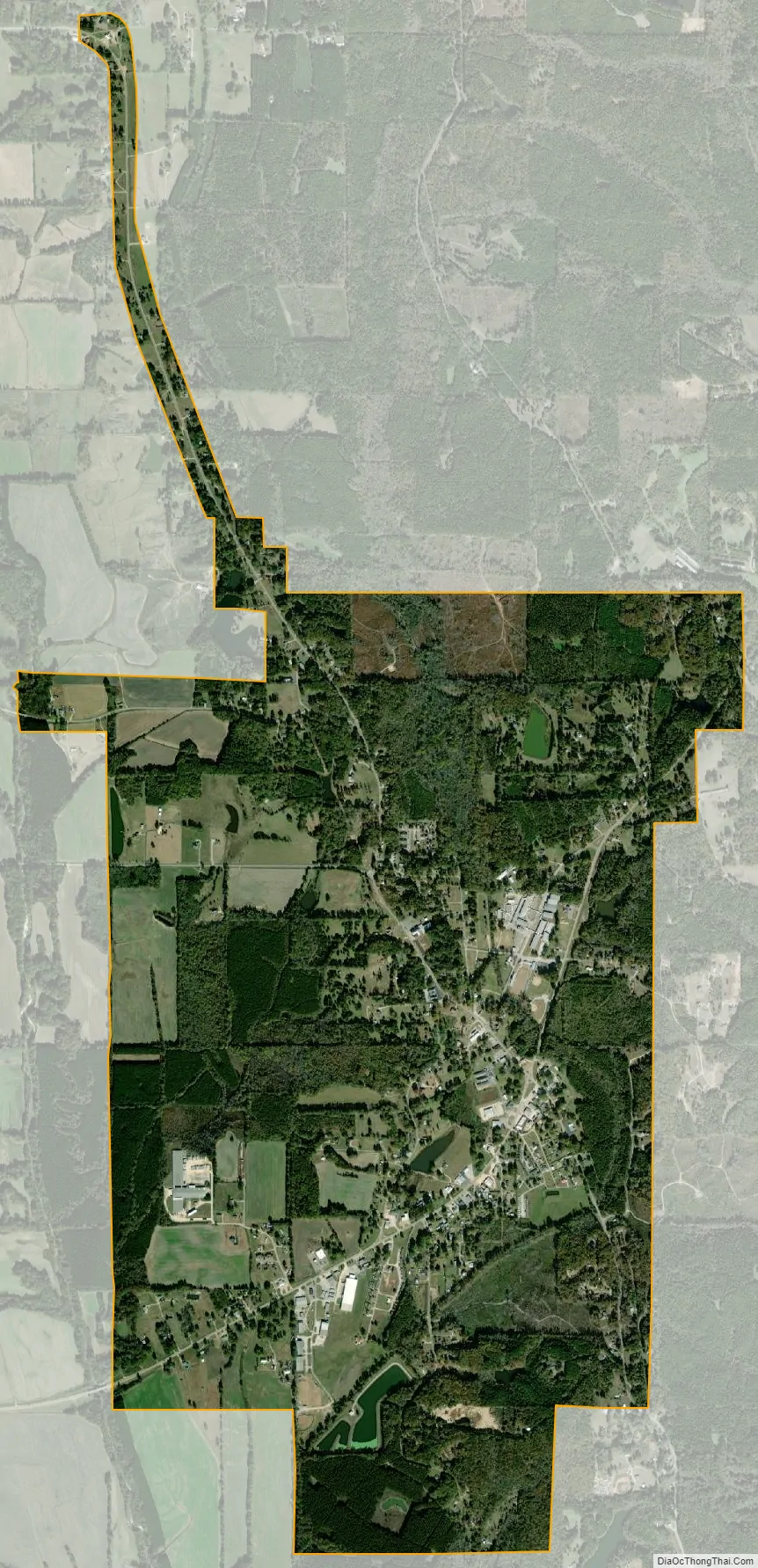
Mantachie city Satellite Map
Geography
Mantachie is located in western Itawamba County at 34°19′51″N 88°29′36″W / 34.330819°N 88.493453°W / 34.330819; -88.493453. Mantachie Creek, a south-flowing tributary of the Tombigbee River, runs past the west side of the town.
According to the United States Census Bureau, Mantachie has a total area of 3.9 square miles (10.2 km), of which 0.01 square miles (0.03 km), or 0.29%, are water.
See also
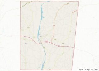
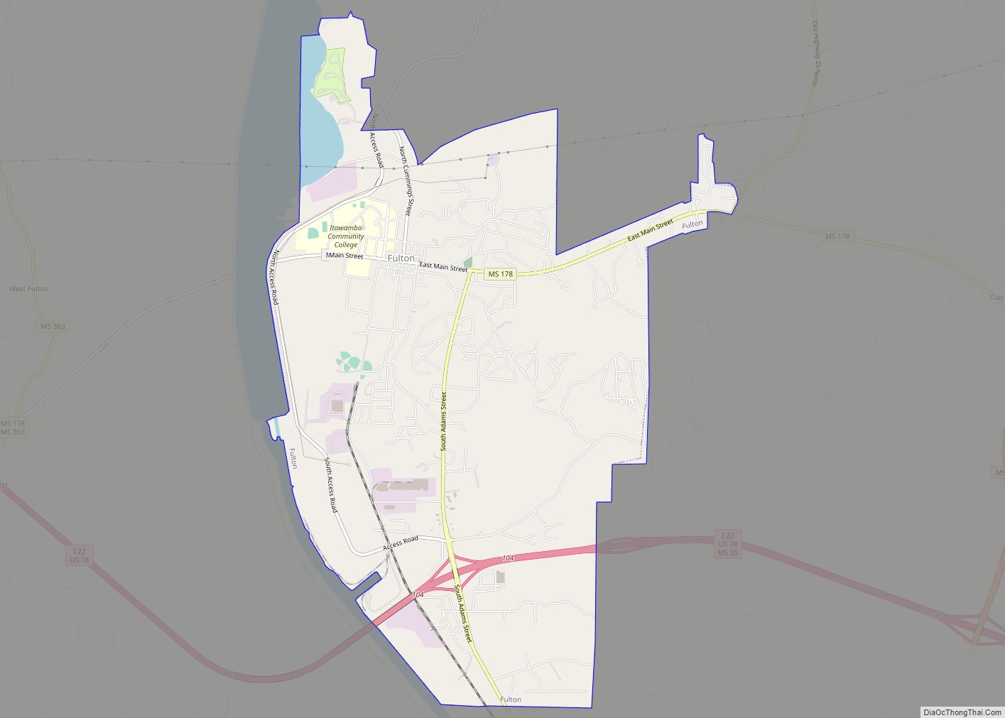
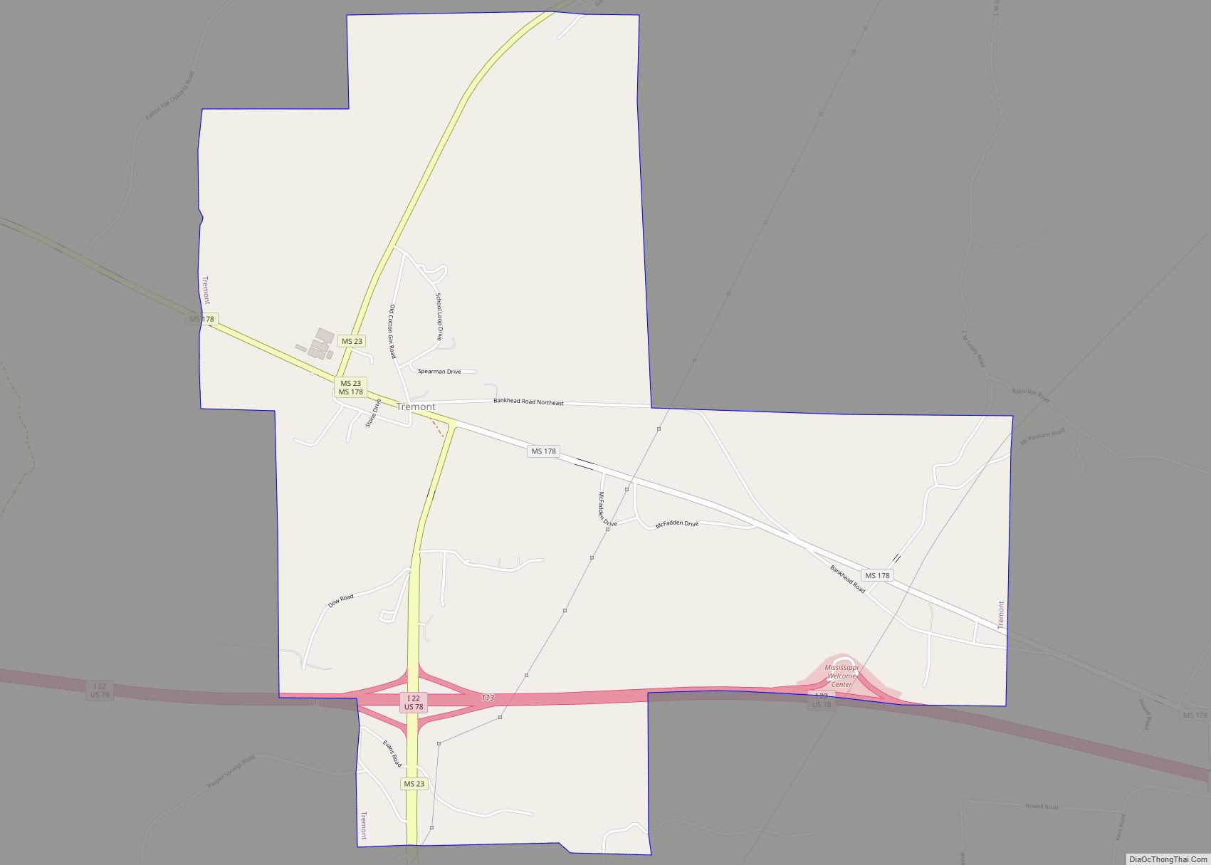
Map of Mississippi State and its subdivision:- Adams
- Alcorn
- Amite
- Attala
- Benton
- Bolivar
- Calhoun
- Carroll
- Chickasaw
- Choctaw
- Claiborne
- Clarke
- Clay
- Coahoma
- Copiah
- Covington
- Desoto
- Forrest
- Franklin
- George
- Greene
- Grenada
- Hancock
- Harrison
- Hinds
- Holmes
- Humphreys
- Issaquena
- Itawamba
- Jackson
- Jasper
- Jefferson
- Jefferson Davis
- Jones
- Kemper
- Lafayette
- Lamar
- Lauderdale
- Lawrence
- Leake
- Lee
- Leflore
- Lincoln
- Lowndes
- Madison
- Marion
- Marshall
- Monroe
- Montgomery
- Neshoba
- Newton
- Noxubee
- Oktibbeha
- Panola
- Pearl River
- Perry
- Pike
- Pontotoc
- Prentiss
- Quitman
- Rankin
- Scott
- Sharkey
- Simpson
- Smith
- Stone
- Sunflower
- Tallahatchie
- Tate
- Tippah
- Tishomingo
- Tunica
- Union
- Walthall
- Warren
- Washington
- Wayne
- Webster
- Wilkinson
- Winston
- Yalobusha
- Yazoo
- Alabama
- Alaska
- Arizona
- Arkansas
- California
- Colorado
- Connecticut
- Delaware
- District of Columbia
- Florida
- Georgia
- Hawaii
- Idaho
- Illinois
- Indiana
- Iowa
- Kansas
- Kentucky
- Louisiana
- Maine
- Maryland
- Massachusetts
- Michigan
- Minnesota
- Mississippi
- Missouri
- Montana
- Nebraska
- Nevada
- New Hampshire
- New Jersey
- New Mexico
- New York
- North Carolina
- North Dakota
- Ohio
- Oklahoma
- Oregon
- Pennsylvania
- Rhode Island
- South Carolina
- South Dakota
- Tennessee
- Texas
- Utah
- Vermont
- Virginia
- Washington
- West Virginia
- Wisconsin
- Wyoming