McComb is a city in Pike County, Mississippi, United States. The city is approximately 80 miles (130 km) south of Jackson. As of the 2010 census, the city had a total population of 12,790. It is the principal city of the McComb, Mississippi Micropolitan Statistical Area.
| Name: | McComb city |
|---|---|
| LSAD Code: | 25 |
| LSAD Description: | city (suffix) |
| State: | Mississippi |
| County: | Pike County |
| Elevation: | 423 ft (129 m) |
| Total Area: | 11.84 sq mi (30.66 km²) |
| Land Area: | 11.78 sq mi (30.51 km²) |
| Water Area: | 0.06 sq mi (0.15 km²) |
| Total Population: | 12,413 |
| Population Density: | 1,053.74/sq mi (406.85/km²) |
| Area code: | 601/769 |
| FIPS code: | 2843280 |
| GNISfeature ID: | 0673307 |
| Website: | www.mccomb-ms.gov |
Online Interactive Map
Click on ![]() to view map in "full screen" mode.
to view map in "full screen" mode.
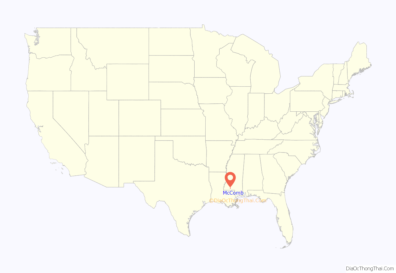
McComb location map. Where is McComb city?
History
19th century
McComb was founded in 1872 after Henry Simpson McComb of the New Orleans, Jackson and Great Northern Railroad, a predecessor of the Illinois Central Railroad (now part of the Canadian National Railway), decided to move the railroad’s maintenance shops away from New Orleans, Louisiana, to avoid the attractions of that city’s bars.
The railroad purchased land in Pike County. Three nearby communities, Elizabethtown, Burglund, and Harveytown, agreed to consolidate to form this town. Main Street developed with the downtown’s shops, attractions, and business.
20th century
The rail center in McComb was one of flashpoints in the violent Illinois Central shopmen’s strike of 1911. Riots took place here that resulted in many injuries, at least three black strikebreakers killed, and authorities bringing in state militia to suppress the emergency soon after the strike started on September 30.
During the 1960s, McComb and nearby areas were the sites of extreme violence by KKK and other white supremacist opponents to the Civil Rights Movement. In 1961, SNCC conducted its first voter registration project in Mississippi in this city. White officials and local KKK members countered it with violence and intimidation to suppress black voters.
In 1961, Brenda Travis, Robert Talbert, and Ike Lewis were arrested for staging a sit in at a Greyhound station. They were charged with trespassing and kept in jail for 28 days. Following their release, Travis was expelled from school. In response to the expulsion and the murder of Herbert Lee, 115 students staged a walk out on October 4, 1961 known as the Burglund High School Walk Out. At the walk out, many students were beaten by the police and arrested. Students continued protesting by refusing to return to school until Travis was allowed to reenroll. As a result, they too were expelled. The 16 seniors who participated were unable to graduate. Travis’ fate for participating in the march was more serious. Travis was arrested, again, and sent to a state juvenile facility without a trial. After 6 and a half months, Travis was released by the governor and exiled from Mississippi.
After whites severely beat several staff members, staff members being jailed for their involvement with the walkout, and receiving backlash from the community for putting students on the “frontlines”, SNCC pulled out of the region in early 1962. They moved north in Mississippi to work in slightly less dangerous conditions.
In 1964, civil rights activists began the Mississippi Project and what would be called Freedom Summer, with teams returning to southwest Mississippi. They sang, “We’ll Never Turn Back.” SNCC members of the Council of Federated Organizations (COFO) returned to McComb in mid-July 1964 to work on voter registration. From late August 1964 through September, after passage of the Civil Rights Act of 1964, McComb was the site of eleven bombings directed against African Americans. Malcolm Boyd took part of COFO’s Freedom House as a member of a clerical delegation to assist African-American voter registration.
The following summer, Congress passed the Voting Rights Act of 1965 authorizing federal oversight and enforcement to enable blacks to register and vote again in the South. In Mississippi, most blacks had been disenfranchised since 1890. Even with enforcement, it took time to overcome local white resistance to black voting.
On October 20, 1977, a chartered plane carrying members and crew of rock band Lynyrd Skynyrd crashed in a swamp near McComb, killing lead singer Ronnie Van Zant, guitarist Steve Gaines, Steve’s sister Cassie (a backup singer), road manager Dean Kilpatrick, as well as both pilots.
In 2006, Zach Patterson was elected as McComb’s first African American mayor.
In 2018, voters in the city of McComb elected Quordiniah Lockley as mayor, and for the first time elected a city board consisting of an African American majority.
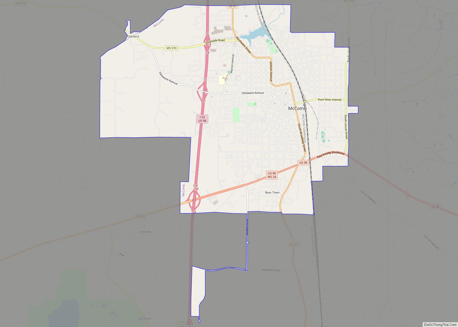
McComb Road Map
McComb city Satellite Map
Geography
According to the U.S. Census Bureau, the city has a total area of 11.6 square miles (30 km), of which 11.6 square miles (30 km) is land and 0.1 square miles (0.26 km) (0.54%) is water.
Climate
The climate in McComb is characterized by hot, humid summers and generally mild to cool winters. According to the Köppen Climate Classification system, McComb has a humid subtropical climate, abbreviated “Cfa” on climate maps.
See also
Map of Mississippi State and its subdivision:- Adams
- Alcorn
- Amite
- Attala
- Benton
- Bolivar
- Calhoun
- Carroll
- Chickasaw
- Choctaw
- Claiborne
- Clarke
- Clay
- Coahoma
- Copiah
- Covington
- Desoto
- Forrest
- Franklin
- George
- Greene
- Grenada
- Hancock
- Harrison
- Hinds
- Holmes
- Humphreys
- Issaquena
- Itawamba
- Jackson
- Jasper
- Jefferson
- Jefferson Davis
- Jones
- Kemper
- Lafayette
- Lamar
- Lauderdale
- Lawrence
- Leake
- Lee
- Leflore
- Lincoln
- Lowndes
- Madison
- Marion
- Marshall
- Monroe
- Montgomery
- Neshoba
- Newton
- Noxubee
- Oktibbeha
- Panola
- Pearl River
- Perry
- Pike
- Pontotoc
- Prentiss
- Quitman
- Rankin
- Scott
- Sharkey
- Simpson
- Smith
- Stone
- Sunflower
- Tallahatchie
- Tate
- Tippah
- Tishomingo
- Tunica
- Union
- Walthall
- Warren
- Washington
- Wayne
- Webster
- Wilkinson
- Winston
- Yalobusha
- Yazoo
- Alabama
- Alaska
- Arizona
- Arkansas
- California
- Colorado
- Connecticut
- Delaware
- District of Columbia
- Florida
- Georgia
- Hawaii
- Idaho
- Illinois
- Indiana
- Iowa
- Kansas
- Kentucky
- Louisiana
- Maine
- Maryland
- Massachusetts
- Michigan
- Minnesota
- Mississippi
- Missouri
- Montana
- Nebraska
- Nevada
- New Hampshire
- New Jersey
- New Mexico
- New York
- North Carolina
- North Dakota
- Ohio
- Oklahoma
- Oregon
- Pennsylvania
- Rhode Island
- South Carolina
- South Dakota
- Tennessee
- Texas
- Utah
- Vermont
- Virginia
- Washington
- West Virginia
- Wisconsin
- Wyoming


